
- Brief description
-
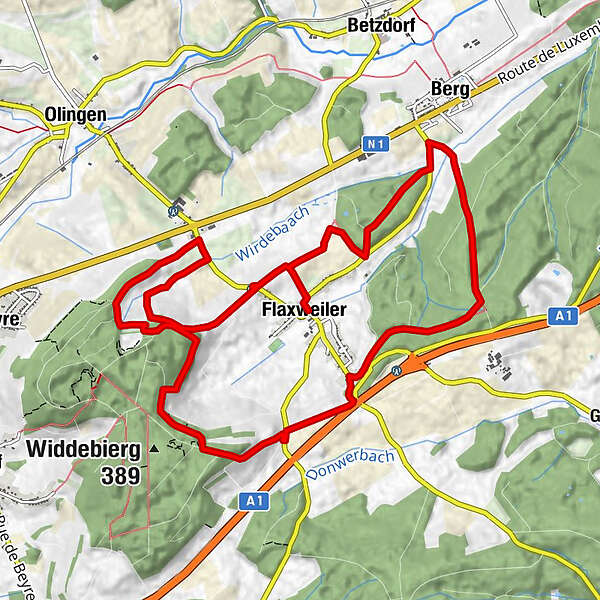
Rondwandelroute Flaxweiler
- Difficulty
-
medium
- Rating
-
- Starting point
-
Town hall Flaxweiler
- Route
-
FlaxweilerSaints-Côme-et-Damien0.0 kmBerg2.5 kmBricherbierg5.9 kmBanzelt10.2 kmFlaxweiler13.1 kmSaints-Côme-et-Damien13.1 km
- Best season
-
JanFebMarAprMayJunJulAugSepOctNovDec
- Description
-
Start: car park at the town hall of Flaxweiler
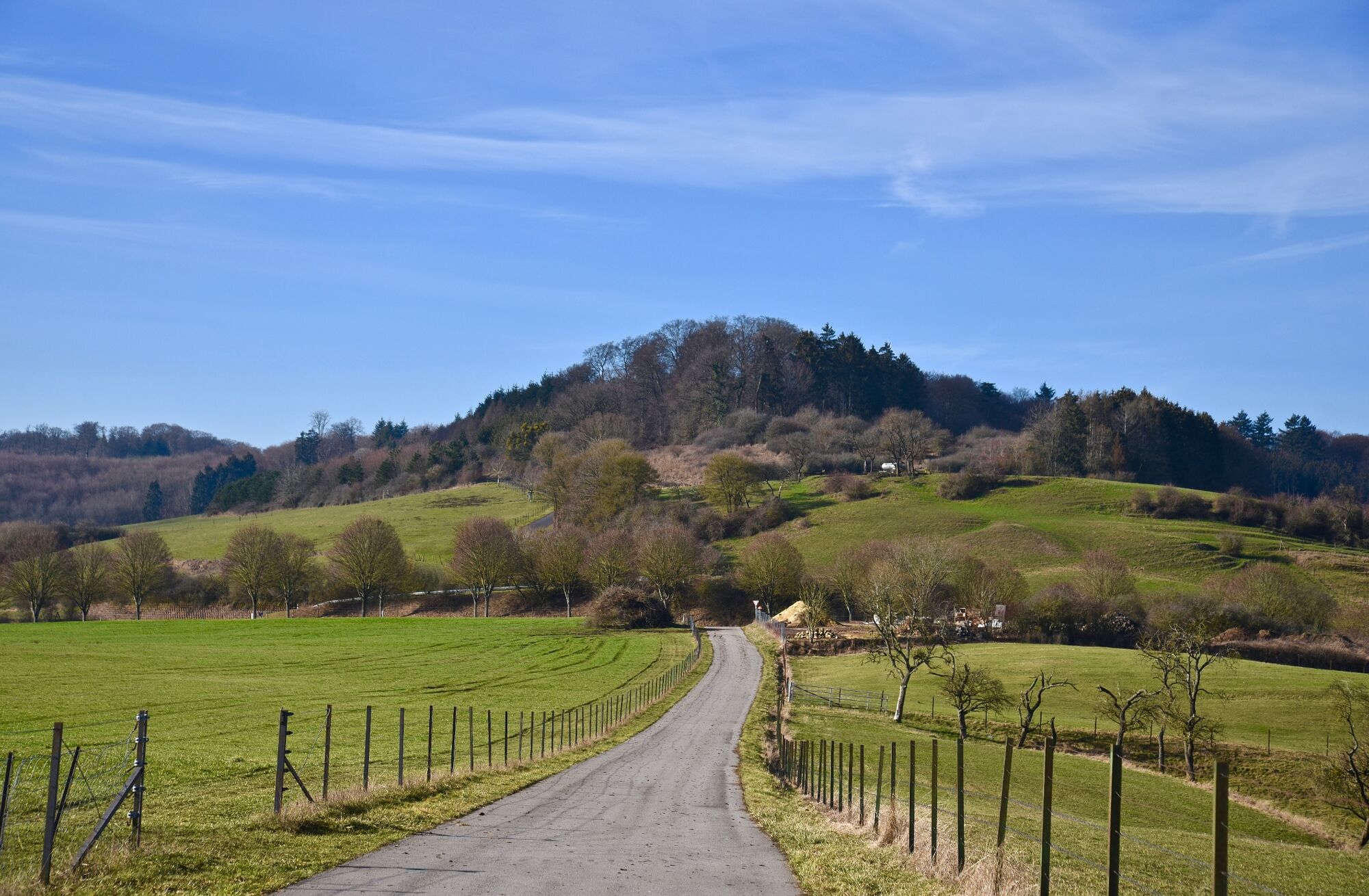
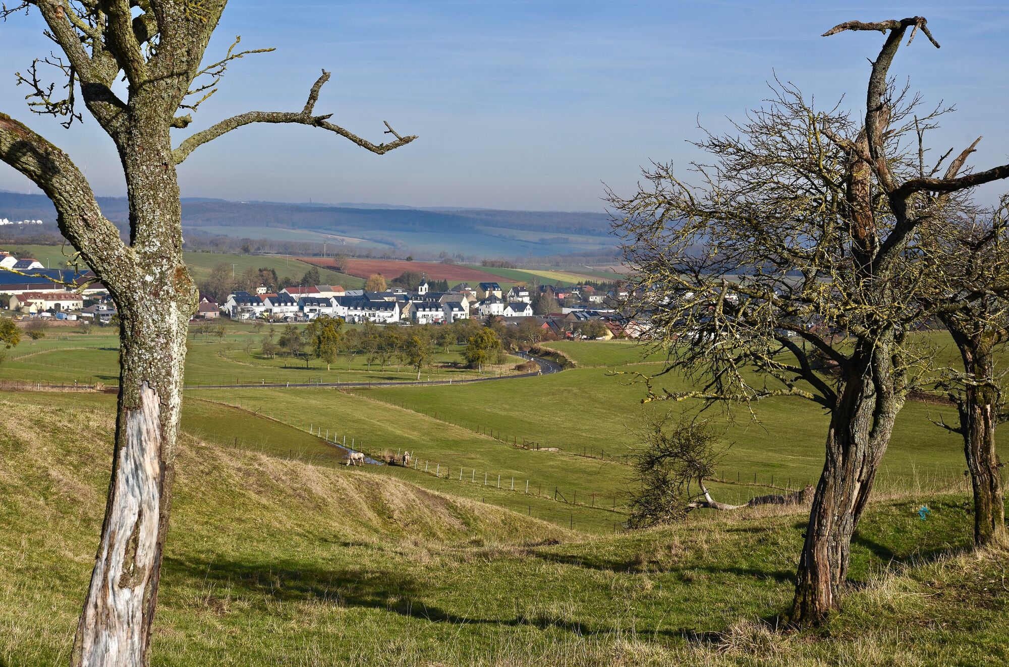
We cross the village and follow the road and the Fluessweilerbaach valley. Shortly before Berg, we enter the forest to the right, which we traverse as far as the south-eastern entry of the village of Flaxweiler. We then go in the direction of Widdebierg. We return to the starting point via fields and the wooded slopes of the hill.
- Directions
-
This long hike begins along a road and then the valley of the Fluessweilerbaach before penetrating into a forest. Once past the Widdebierg, all that’s left is to skirt its wooded hills and cross the fields to return to the starting point.
- Highest point
- 373 m
- Endpoint
-
Town hall Flaxweiler
- Height profile
-
 © outdooractive.com
 - Equipment
-
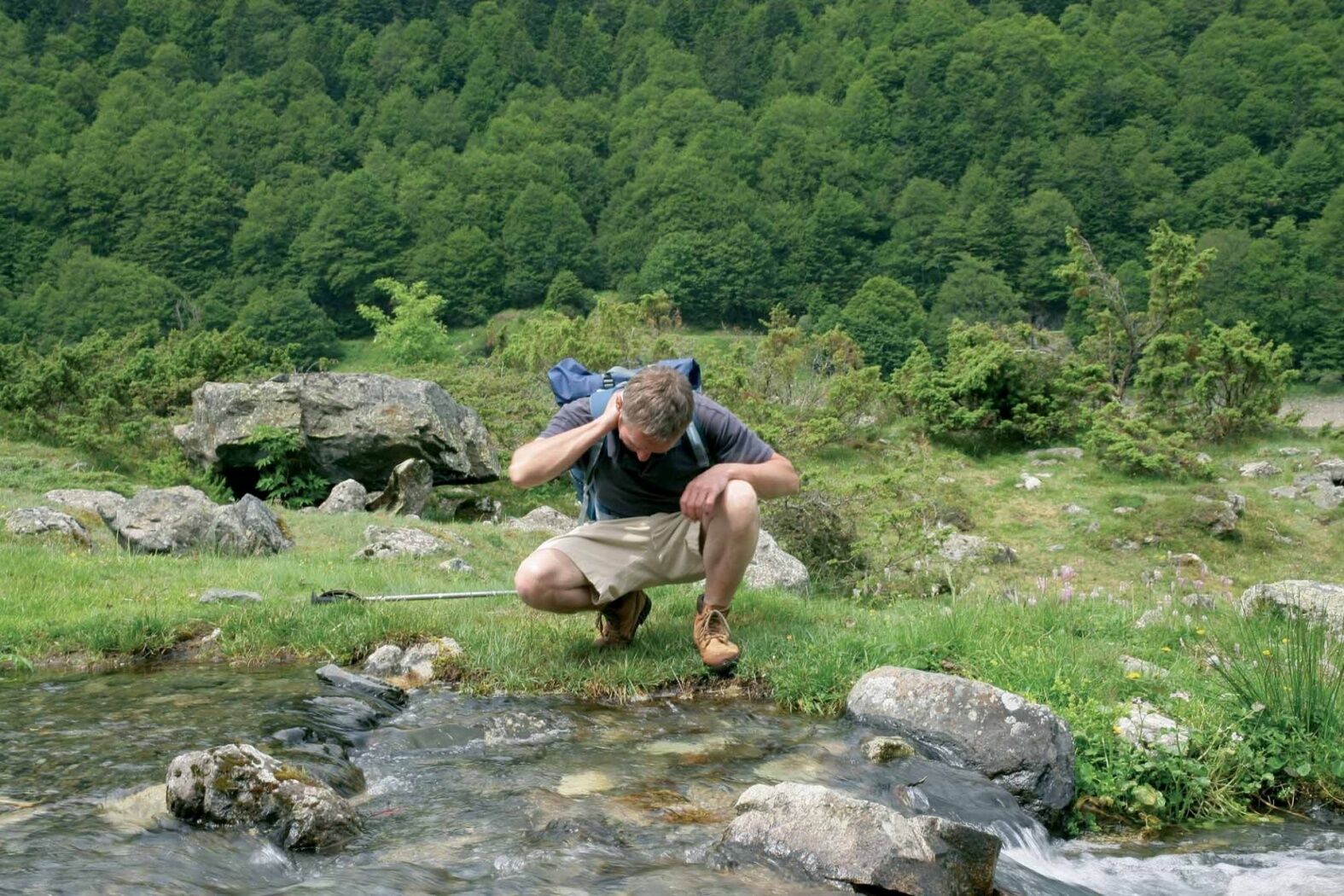
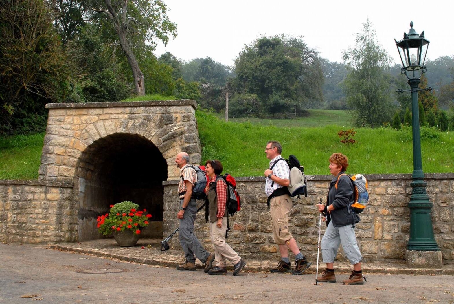
Sturdy shoes
- Additional information
- Public transportation
-
The next bus station is: Flaxweiler, Op der Bréck
- Parking
-
Town hall Flaxweiler


-

-
AuthorThe tour Auto-pédestre trail Flaxweiler is used by outdooractive.com provided.


-
Region Mosel
446
-
Flaxweiler
123