© Visit Luxembourg - Ines Kirsch

© Visit Luxembourg - Ines Kirsch

- Brief description
-
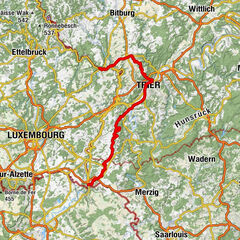
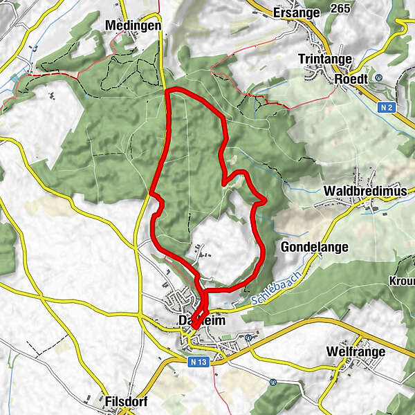
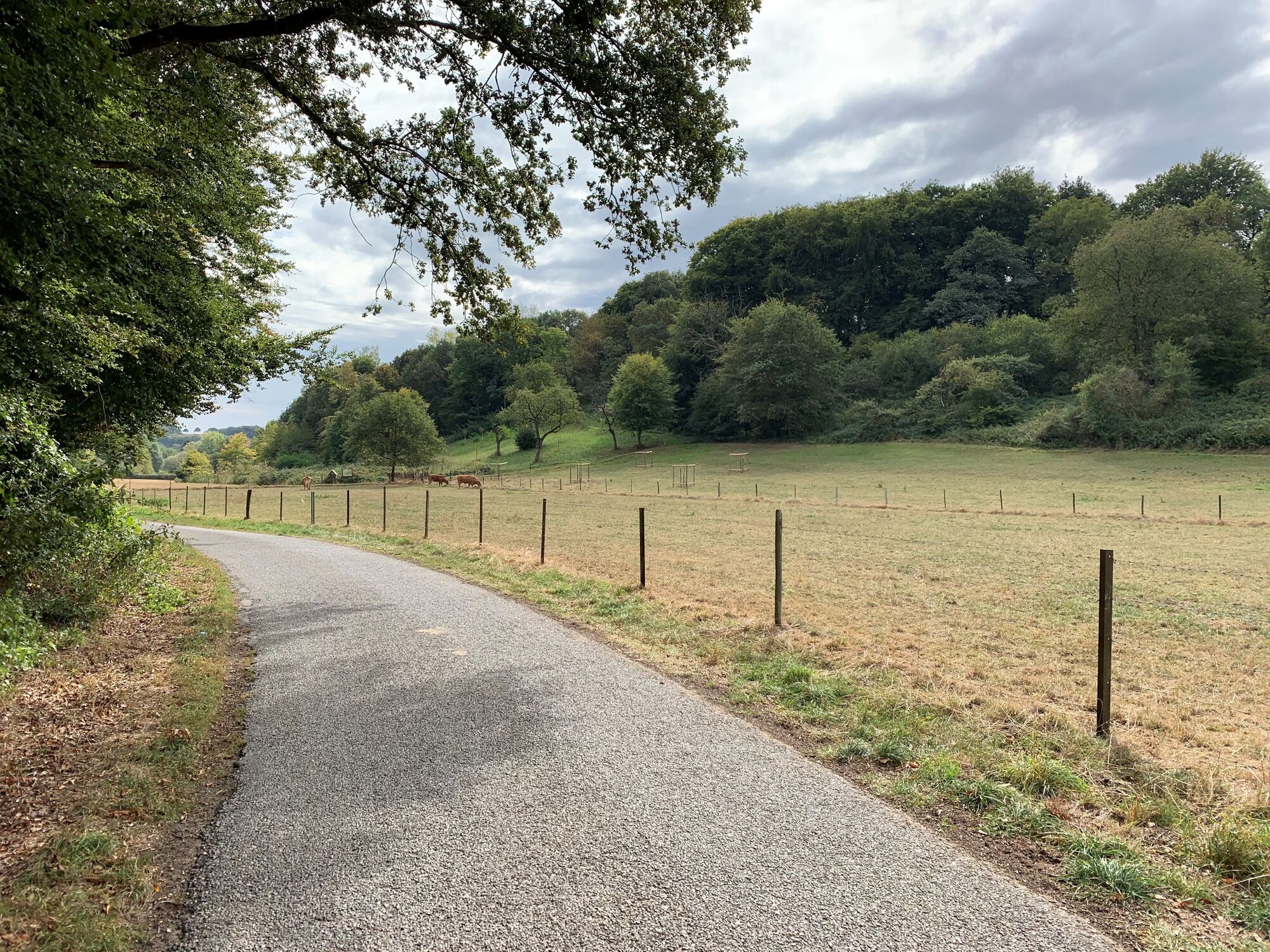
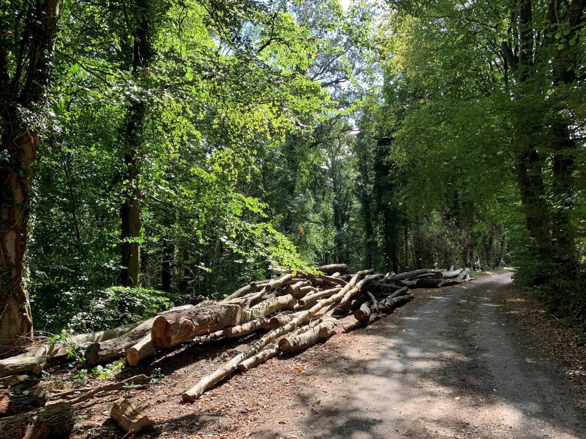
Circular walk in Dalheim
- Difficulty
-
easy
- Rating
-
- Starting point
-
Town hall Dalheim
- Route
-
Dalheim0.1 kmDalheim7.7 km
- Best season
-
JanFebMarAprMayJunJulAugSepOctNovDec
- Description
-
We leave the village in a northerly direction, walk along the edge of the forest and then head into the shady Buchholz forest until we reach the Filsdorf-Medingen road, an old, elevated Roman road. We follow this for one kilometre until we reach the Hadrian milestone, which indicates the route to Trier. Along the edge of the forest (Napoleon monument), we return to the starting point in Dalheim.
- Highest point
- 362 m
- Endpoint
-
Town hall Dalheim
- Height profile
-
 © outdooractive.com
 - Tips
-
Visit the impressive Roman theatre of Dalheim on the outskirts of the village.
- Additional information
- Public transportation
-
The next bus station is: Dalheim, Gemeng
-

-
AuthorThe tour Auto-pédestre trail Dalheim is used by outdooractive.com provided.
GPS Downloads


Other tours in the regions
-
Region Mosel
447
-
Dalheim
88