
- Brief description
-
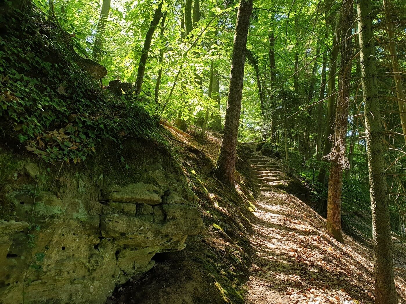
Short but varied hiking tout offering a panoramic view and nice rock formations.
- Difficulty
-
easy
- Rating
-
- Starting point
-
Heffingen: Hiefenecher Millen
- Route
-
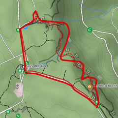
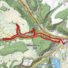
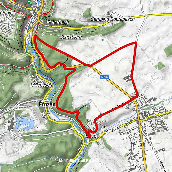
Soup0.0 kmHeffingen0.9 kmErnzen5.1 kmSoup5.9 km
- Best season
-
JanFebMarAprMayJunJulAugSepOctNovDec
- Description
-
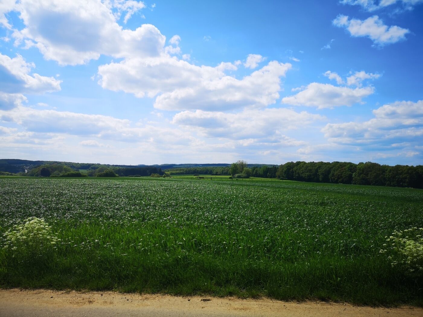
The trail starts at Hiefenecher Millen in the valley of the White Ernz. You pass a few houses and go up Bézebierg and then through an open landscape on top of the hill Schwengerhoecht. From there, you have a beautiful view of the village of Heffingen.
After a short stretch on a calm road, you first walk along and then into the forest. You go back to your starting point following a beautiful path in the forest, passing the spectacular rock formations of Postlee / Op der Rumm.
- Highest point
- 357 m
- Endpoint
-
Heffingen: Hiefenecher Millen
- Height profile
-
 © outdooractive.com
 - Equipment
-
Sturdy shoes and something to drink.
- Tips
-
There is a place to rest at the view point Schwengerhoecht
- Additional information
- Public transportation
-
Next bus stop: Heffingen Soup (100 m)
- Parking
-
Parking "Supp" (50 m)
- Author
-
The tour Local hiking trail - H2 is used by outdooractive.com provided.
GPS Downloads


General info
Refreshment stop
Other tours in the regions
-
Müllerthal
548
-
Diekirch
182