- Brief description
-
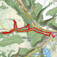
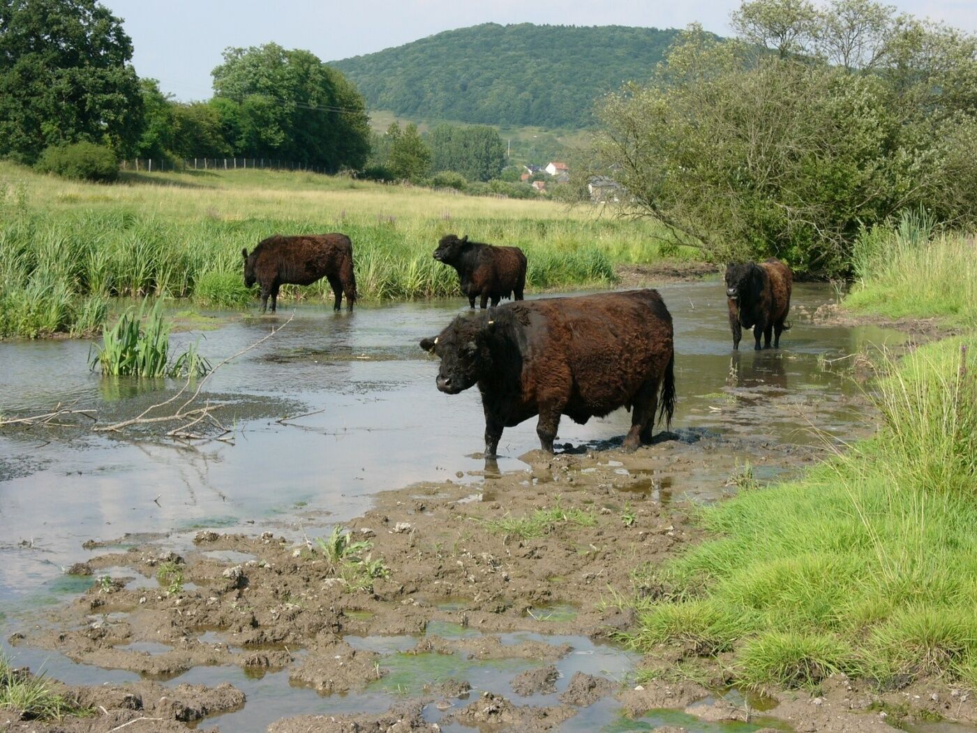
This trail follows briefly the Syre past Betzdorf and Berg after crossing numerous field and the Junkerbësch forest.
- Difficulty
-
easy
- Rating
-
- Starting point
-
Train station Betzdorf - 7, Rue de la Gare 6832 Betzdorf
- Route
-
Betzdorf0.0 kmBerg7.4 kmRelais du Château de Betzdorf Sàrl8.1 kmSaint-Martin8.2 kmBetzdorf8.4 km
- Best season
-
JanFebMarAprMayJunJulAugSepOctNovDec
- Description
-
Start: train station of Betzdorf
We ramble cross-country and go across the Junkerbësch to the castle. We then go downhill to the Syre and through Betzdorf in the direction of Berg. We cross the village and return to Betzdorf and the starting point via fields.
- Highest point
- 337 m
- Endpoint
-
Train station Betzdorf - 7, Rue de la Gare 6832 Betzdorf
- Height profile
-
 © outdooractive.com
 - Equipment
-
firm footwear
- Tips
-
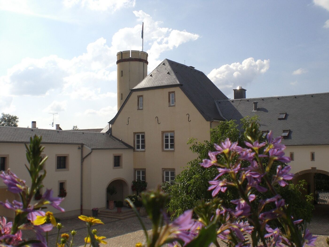
former Grand Ducal residence, currentlyheadquarters of SES/ASTRA
former castle, now housing municipalgovernment offices
- Additional information
- Public transportation
-
by train- train station Betzdorf
-

-
AuthorThe tour Auto-pédestre trail Betzdorf is used by outdooractive.com provided.
GPS Downloads

Other tours in the regions
-
Region Mosel
447
-
Betzdorf
155