
- Brief description
-
The local path B2 is a hike with an adventure guarantee for the whole family.
- Difficulty
-
medium
- Rating
-
- Starting point
-
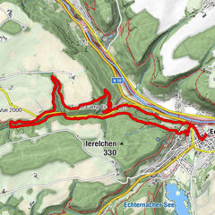
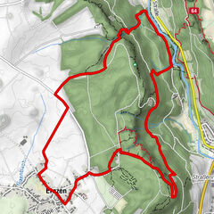
Berdorf: Tourist Info
- Route
-
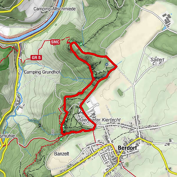
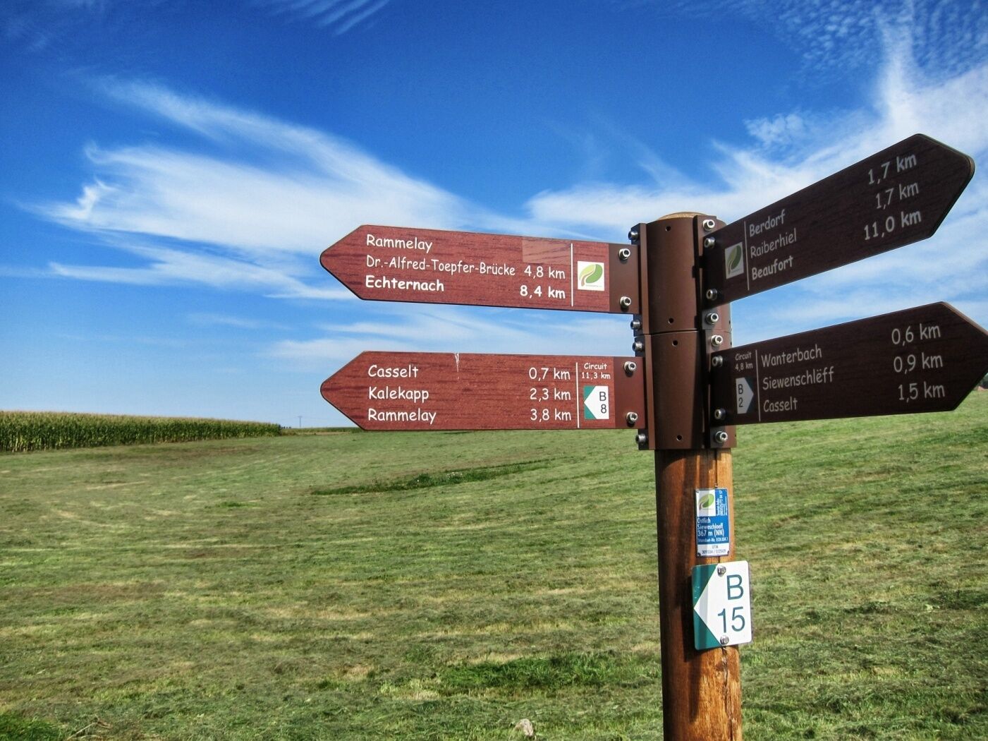
Räuberhöhle0.7 kmTeufelsinsel0.8 kmTotenkammer0.8 kmHeroldt0.9 kmSiewenschlueff1.8 kmBistro Martbusch3.9 km
- Best season
-
JanFebMarAprMayJunJulAugSepOctNovDec
- Description
-
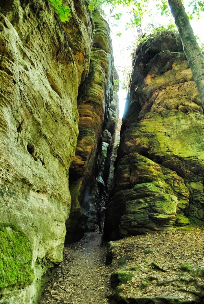
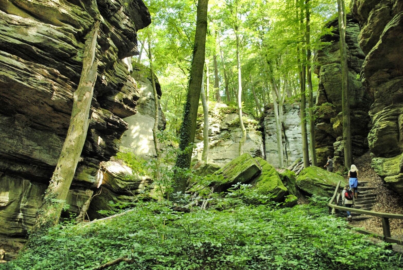
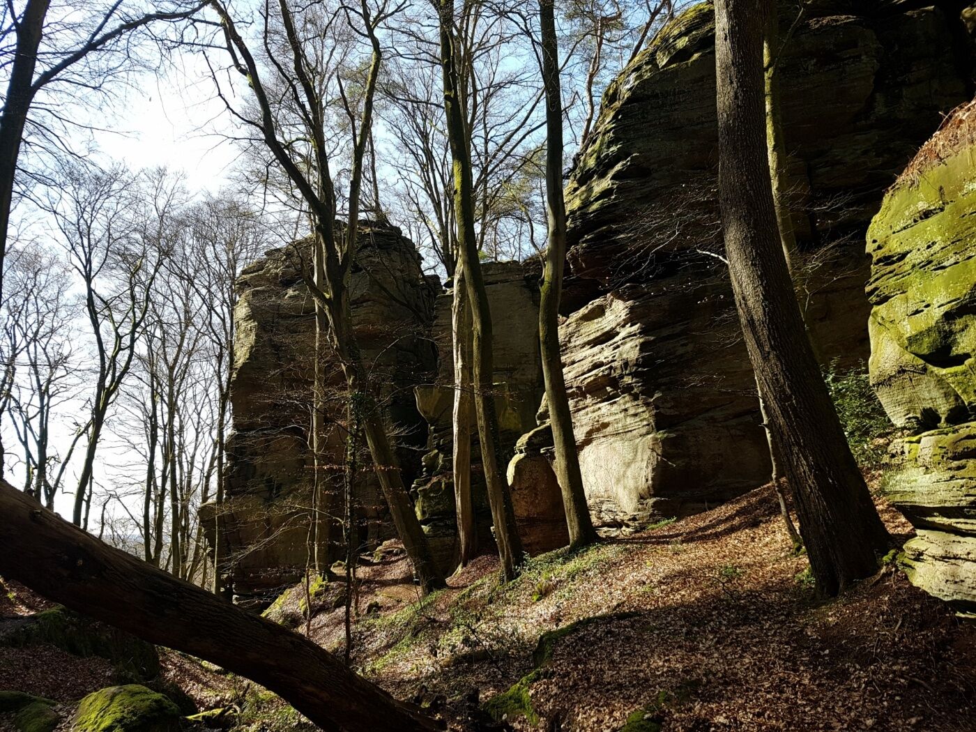
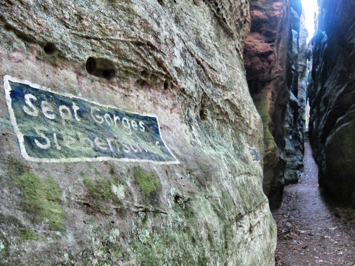
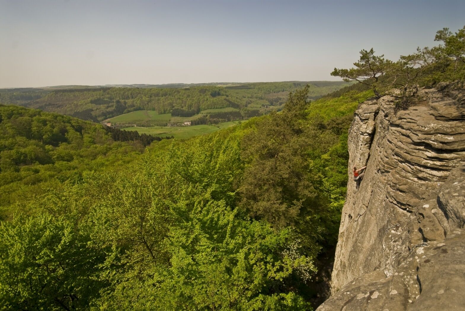
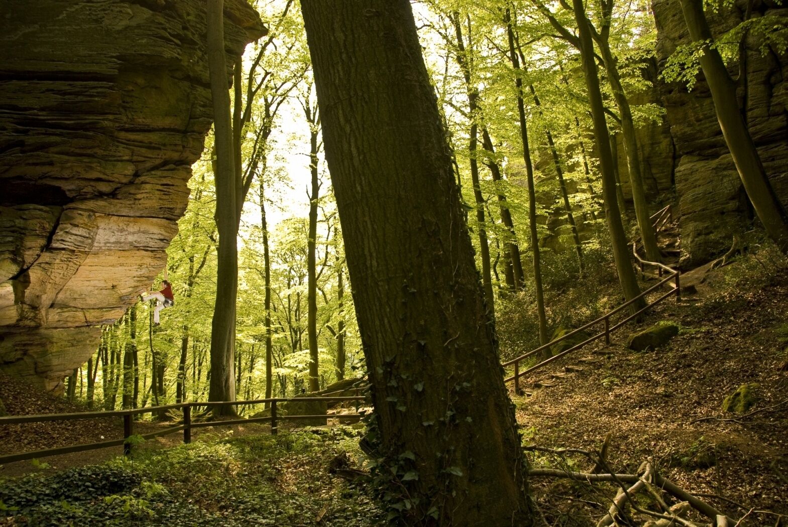
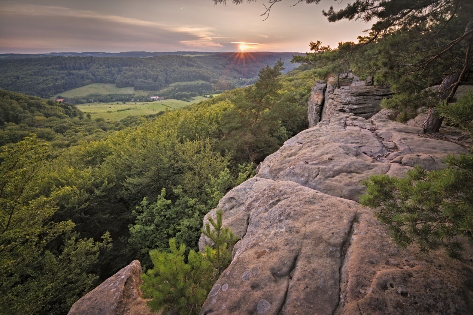
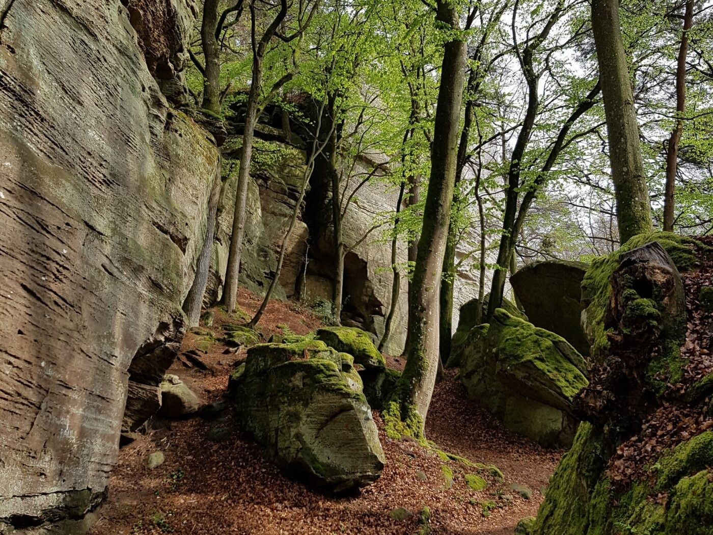
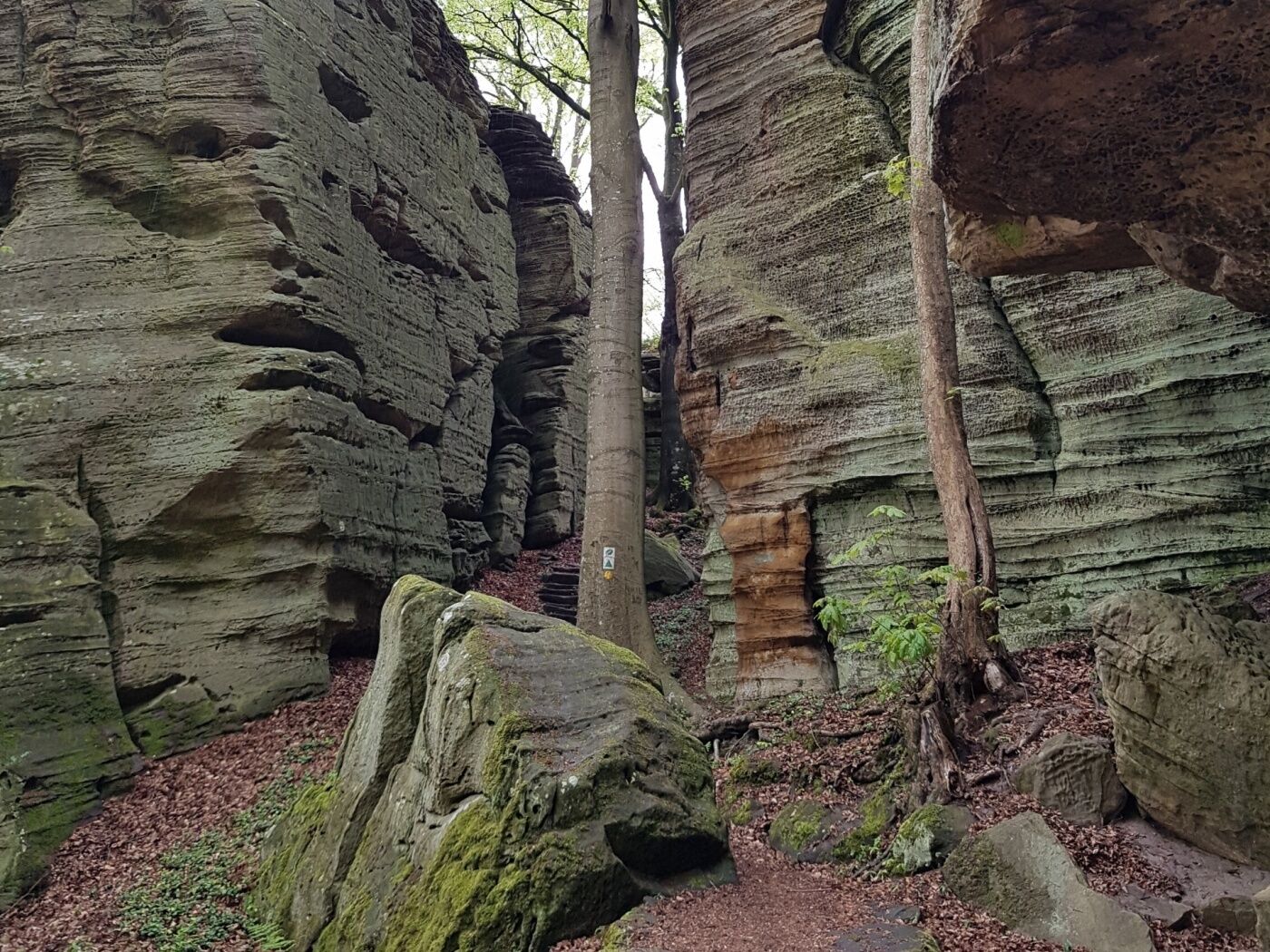
After just a few meters you will reach the romantic canyon of Ruetsbech. Sporty hikers and those looking for an adventurous kick should absolutely roam the mysterious Ruetsbechschlëff, explore the Raiberhiel cave and climb up the iron ladder to Adlerhorst! An ascent to the beautiful viewpoints Ruetsbechplateau and Däiwelsinsel is absolutely recommended. All these unique sights are set on a barely two-hectare large area. And yet you can indulge in a long exploration tour in a fairytale setting. The itinerary crosses an old Roman road, follows the narrow path along the rocky outcropping and, after about 600 m, flows into the Wanterbaach climbing area with the famous Siweschlëff at the end. The passage through the „Schlüff“ and the ascent to the viewpoint is an absolute must!
From Kaasselt, B2 runs along an almost flat forest path back to the leisure center Martbusch.
- Highest point
- 365 m
- Endpoint
-
Berdorf: Martbusch Leisure Center
- Height profile
-
 © outdooractive.com
 - Equipment
-
Good shoes are recommended, especially when it is wet.
- Safety instructions
-
The ladder in the Raiberhiel is only suitable for people with a head for heights. Depending on the time of day, it is quite dark in the Raiberhiel.
- Tips
-
The tourist office in Berdorf is located right at the start of the hike. There you can get information about the region and you can buy regional products.
- Additional information
-
Local hiking trail - B2
Beim Maartbesch 3
6552 Berdorf
Phone: +352 72 04 57 1
Fax: +352 72 75 24
Email: info@mullerthal.lu
http://www.mullerthal.lu - Public transportation
-
Closest bus stop: Berduerf, Duerfplaz (800 m)
- Parking
-
Closest parking lot: Camping Martbusch (50 m)


- Author
-
The tour Local hiking trail - B2 is used by outdooractive.com provided.


-
Müllerthal
548
-
Vianden
159