
- Brief description
-
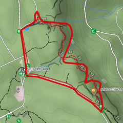
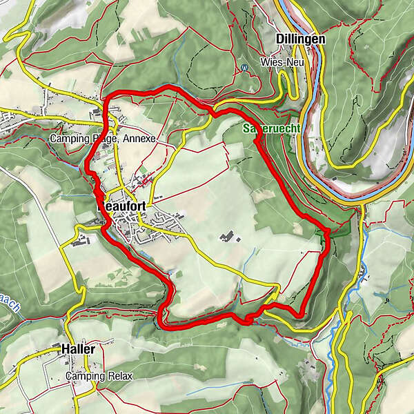
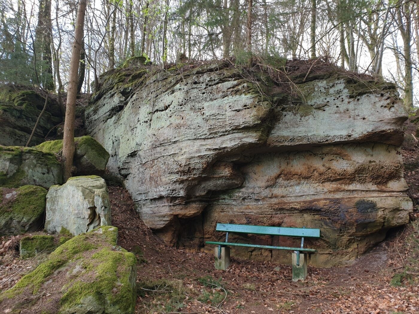
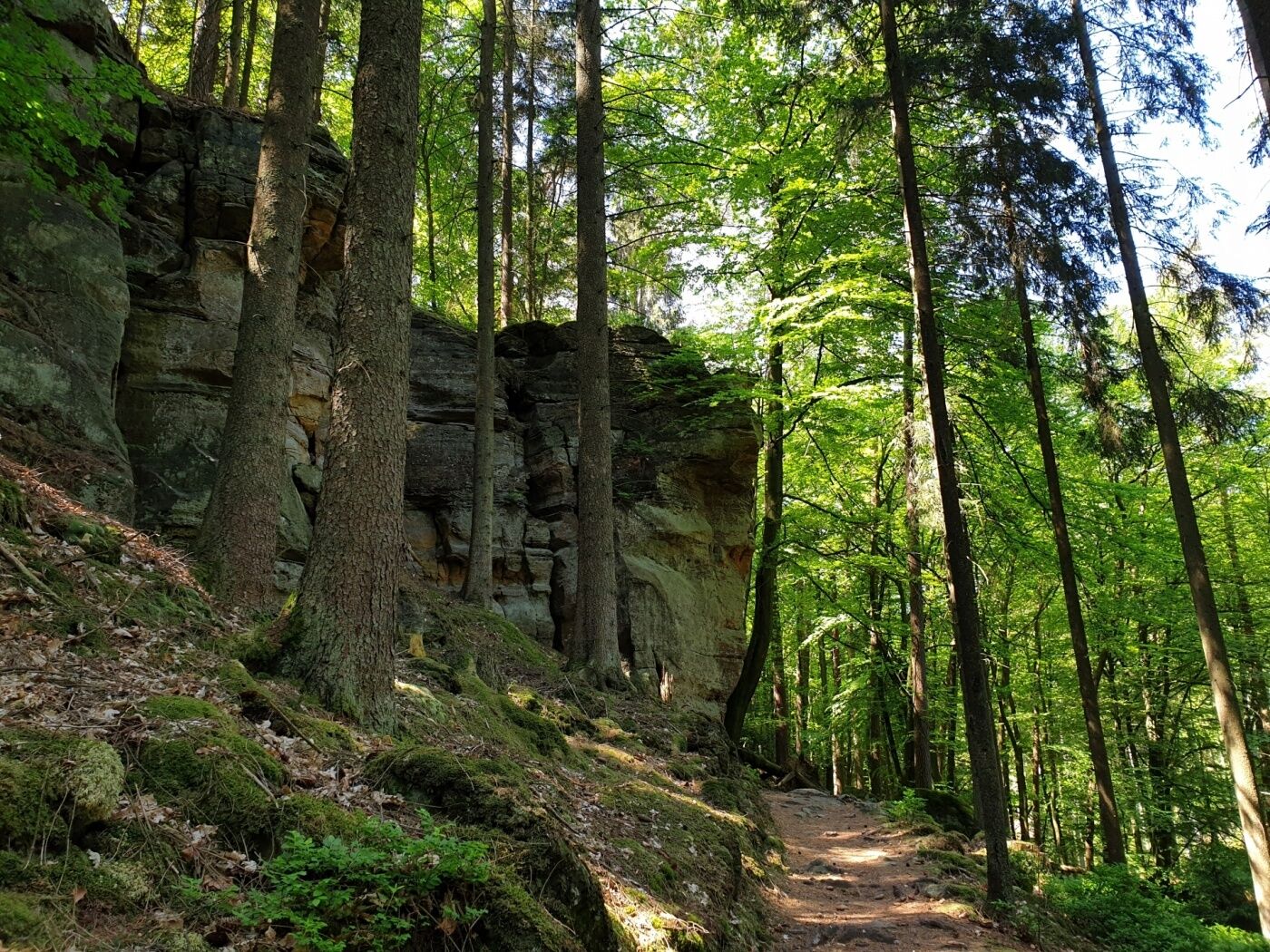
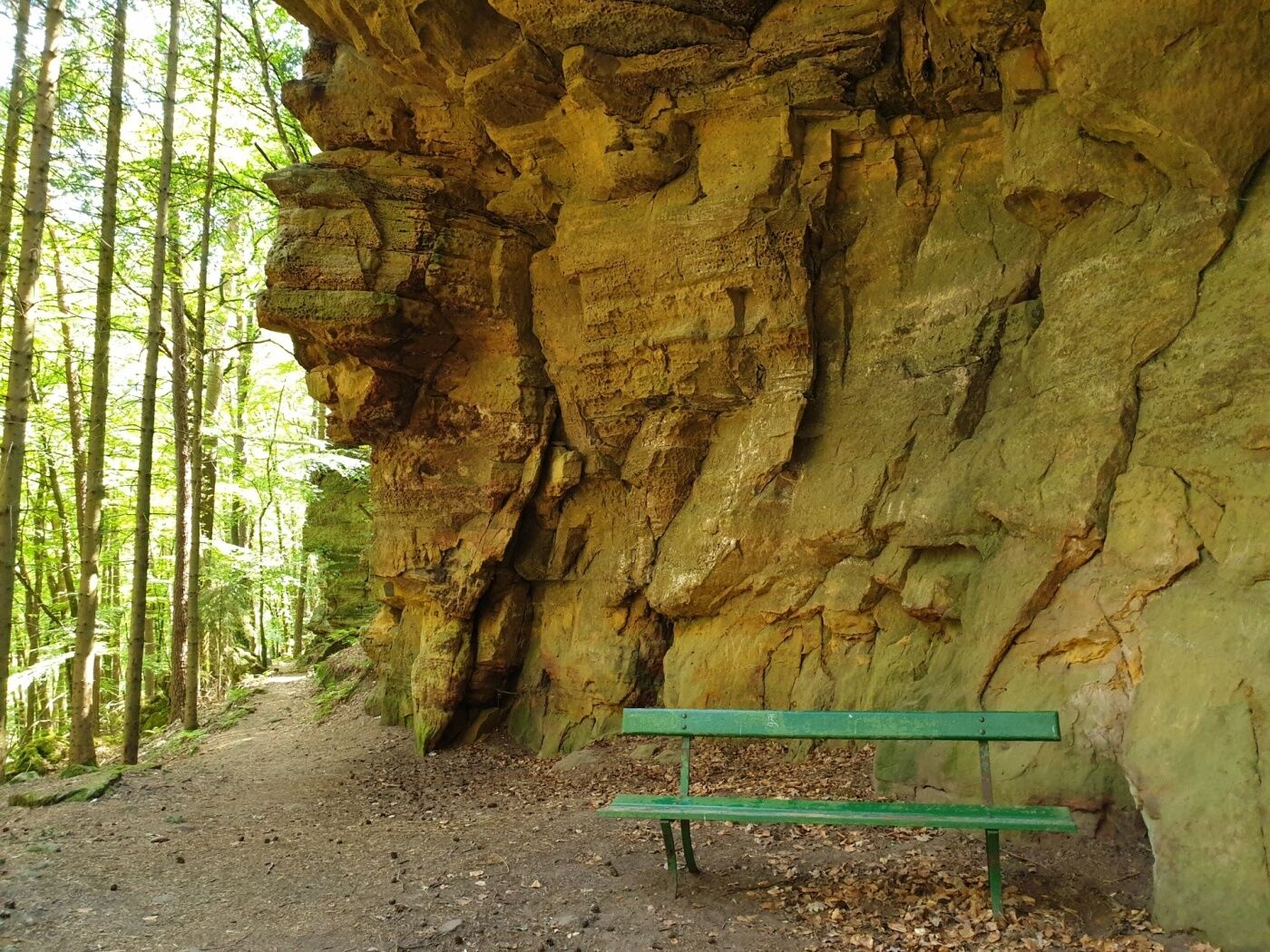
This challenging and varied hiking trail starts at Beaufort Castle. It leads through forests, along picturesque stream valleys and bizarre rock formations.
- Difficulty
-
medium
- Rating
-
- Starting point
-
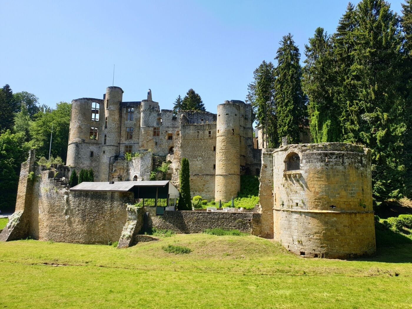
Beaufort: castles
- Route
-
Befort0.2 kmBefort10.6 km
- Best season
-
JanFebMarAprMayJunJulAugSepOctNovDec
- Description
-
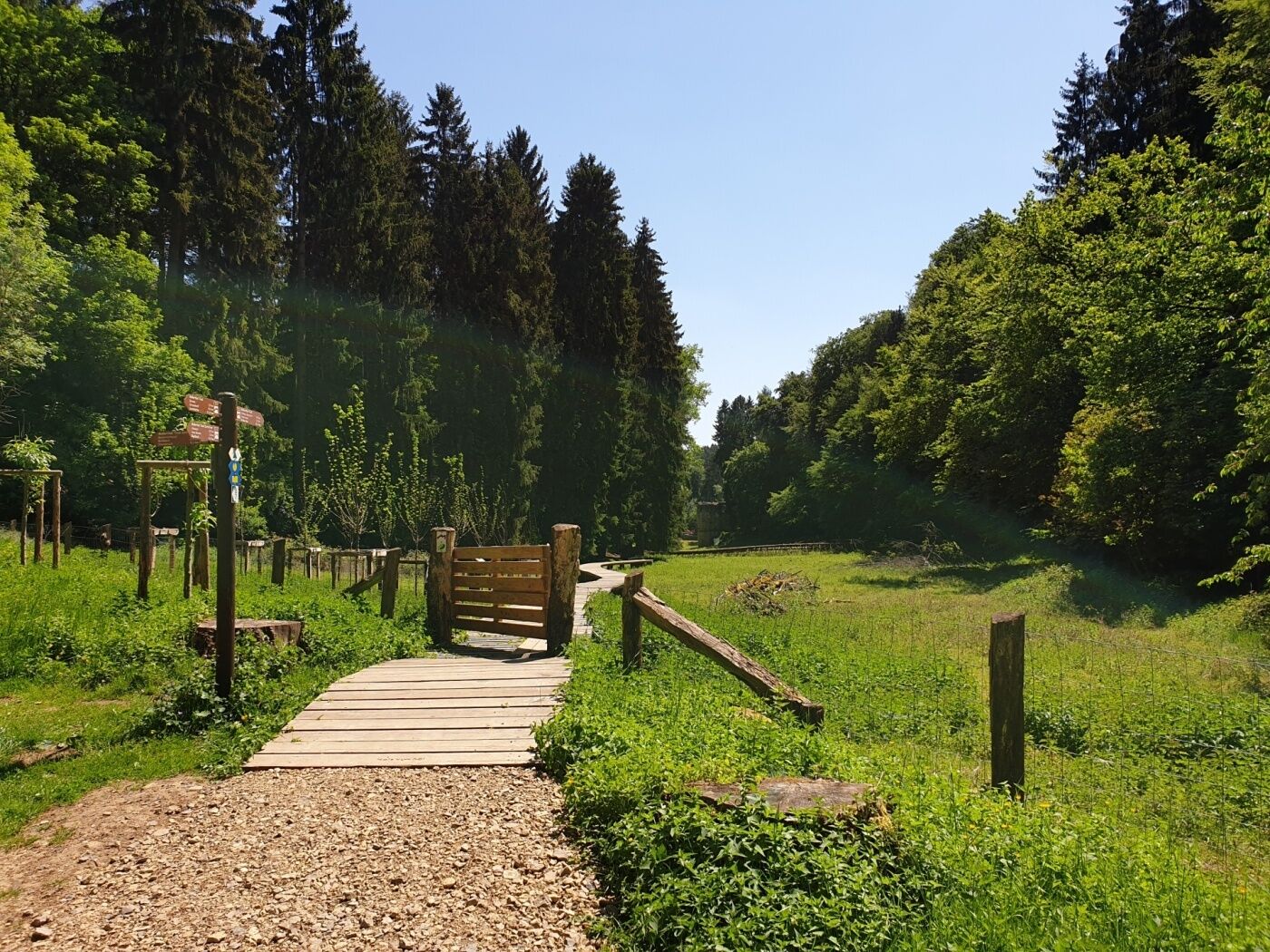
This hike starts at the castles of Beaufort. There is the medieval castle and the adjoining Renaissance castle. You can visit the medieval castle without prior notice. The very famous Cassero (liqueur made from black currant) is still made here. You take the path that leads over a wooden walkway in the direction of the Klingelbuer, the castle's former washing fountain.
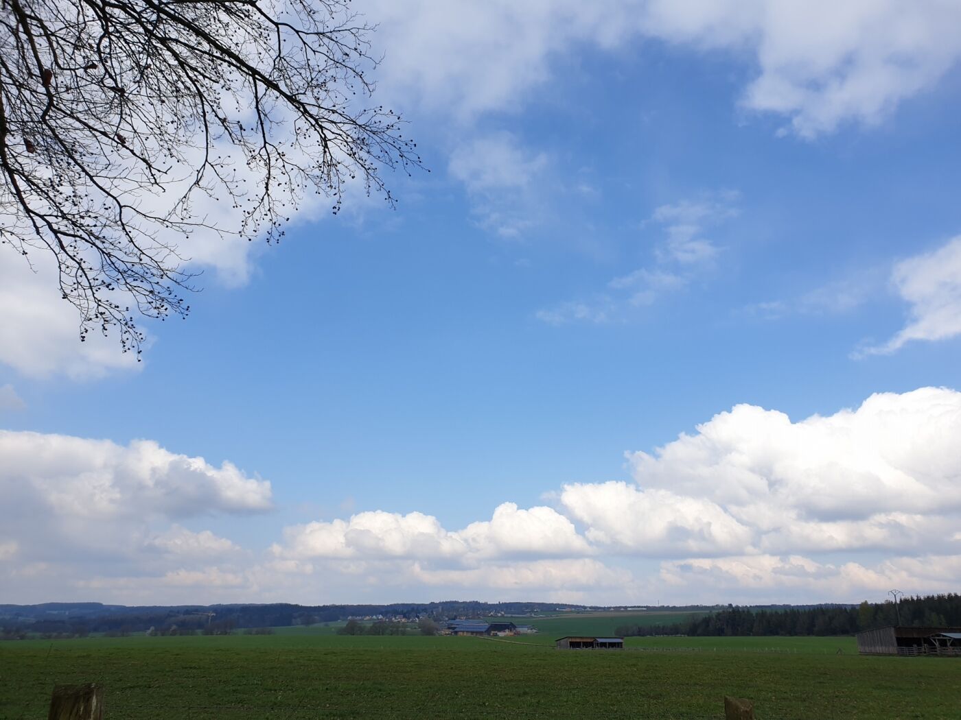
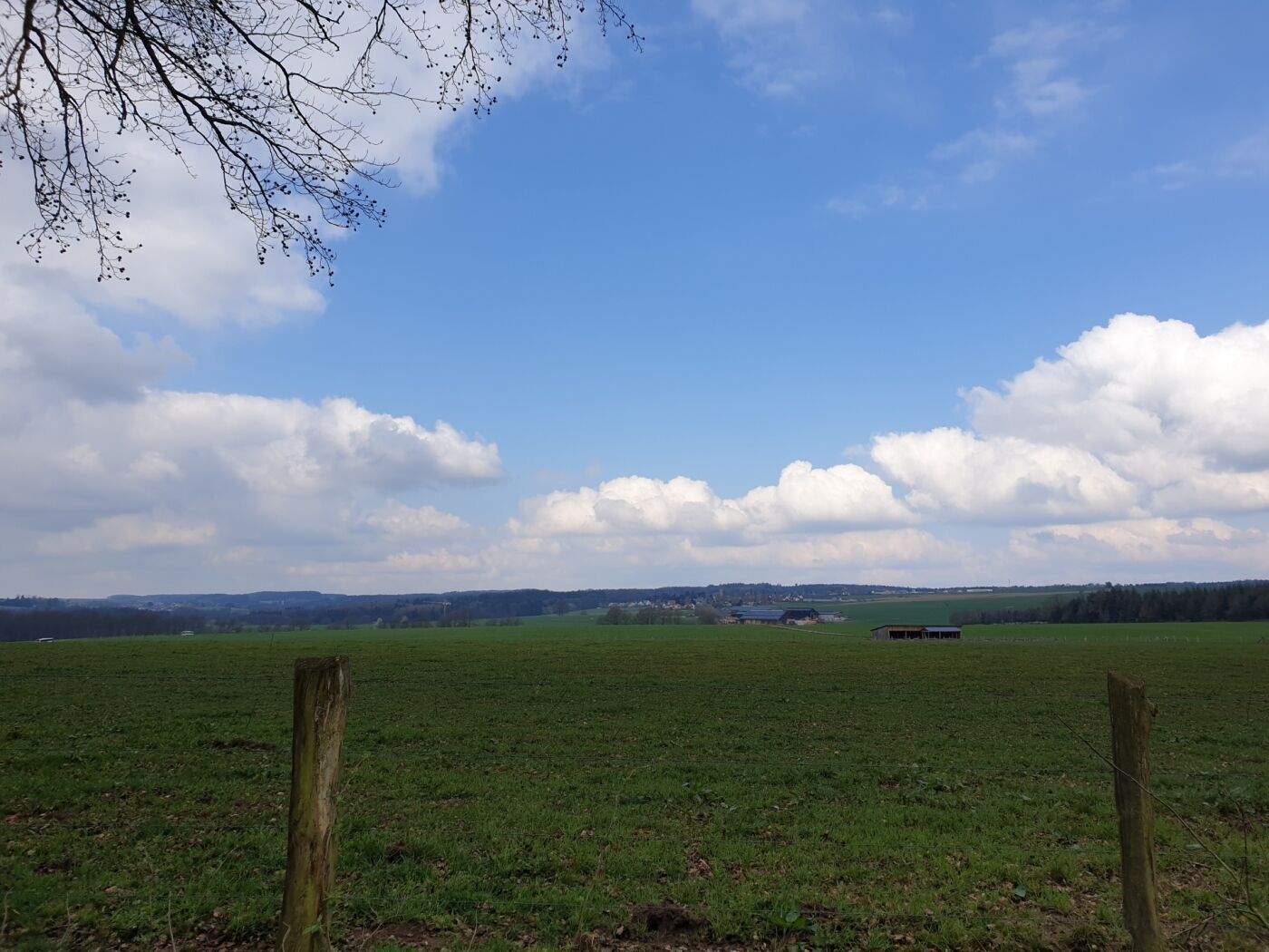
After crossing a small village, you continue through the forest, along a stream, down into the Saueruecht natural forest reserve. Enjoy the beautiful view of the Sûre valley here.
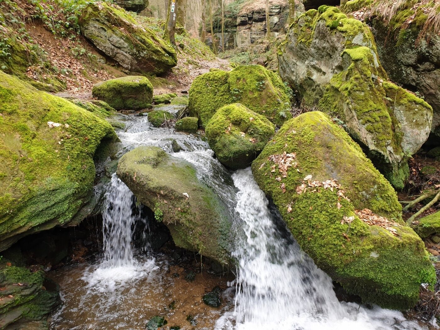
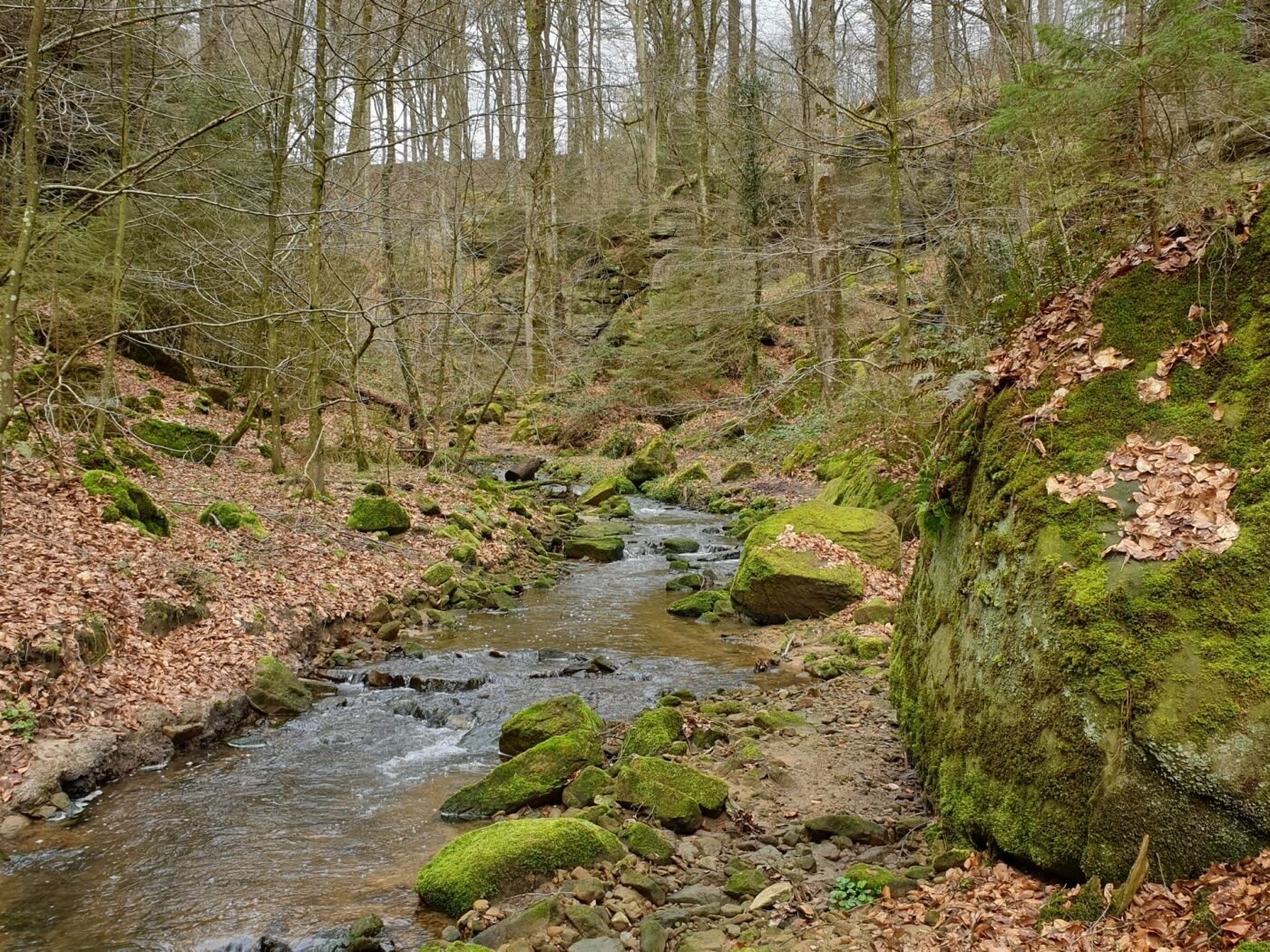
Towards the end of the tour you reach the wild and romantic river valleys of the Haupeschbaach and the Halerbaach. Small wooden bridges, lush moss growth and huge boulders characterize this part. The highlight at the end of the tour is the view of the castle with the small pond in front of it.
- Directions
-
Start the tour at the parking lot of Beaufort castle.
The village of Beaufort is located on a plateau, surrounded by beautiful hiking trails. The village offers a variety of places to stop for refreshments and overnight stays.
The first part of the tour passes over a wooden bridge to Klingelbur (the old washing place of the castle). Continue past Klaisgen (a small chapel 50 meters to the left of the hike) and along the rock formations at Birkbaach and the Herkuleskapp. The path then follows the edge of the Beaufort plateau above the Saueruecht natural forest reserve, to descend near the Köppeglee into the picturesque valley of Halerbaach and Haupeschbaach. You then return to your starting point.
- Highest point
- 380 m
- Endpoint
-
Beaufort: castles
- Height profile
-
 © outdooractive.com
 - Equipment
-
Wear sturdy shoes.
- Safety instructions
-
Danger of slipping on damp rocks.
- Tips
-
Combine your hike with a visit of the castle ruins and try the Cassero (liqueur made from black currants) still produced in the cellars of the castle.
- Additional information
-
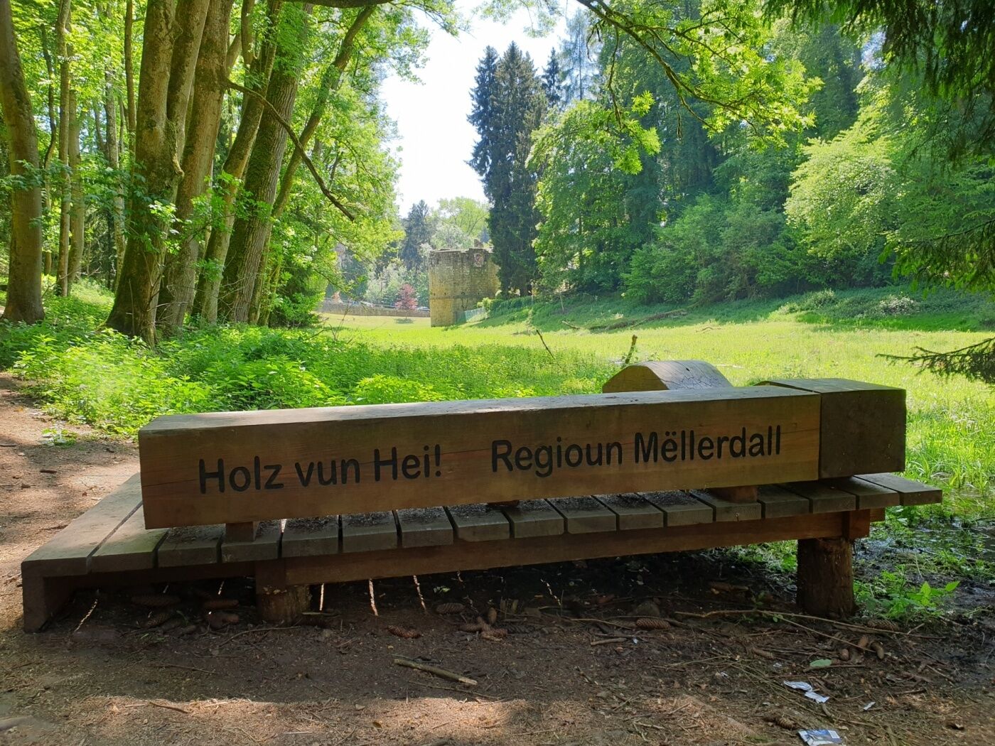
Local hiking trail - B1
Rue du Château 24
6313 Beaufort
Phone: +352 72 04 57 1
Fax: +352 72 75 24
Email: info@mullerthal.lu
http://www.mullerthal.lu - Directions
-
From Echernach via N10 and route de Grundhof
- Public transportation
-
Bus stop Beaufort, Op der Gare (800 m from departure)
- Parking
-
Parking in front of the castles


- Author
-
The tour Local hiking trail - B1 is used by outdooractive.com provided.


General info
-
Müllerthal
549
-
Diekirch
183