


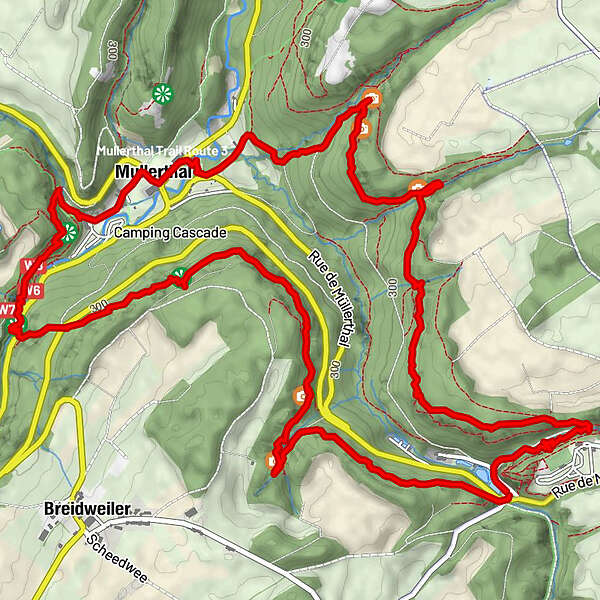
Tour data
9.82km
211
- 330m
269hm
240hm
02:53h
- Brief description
-
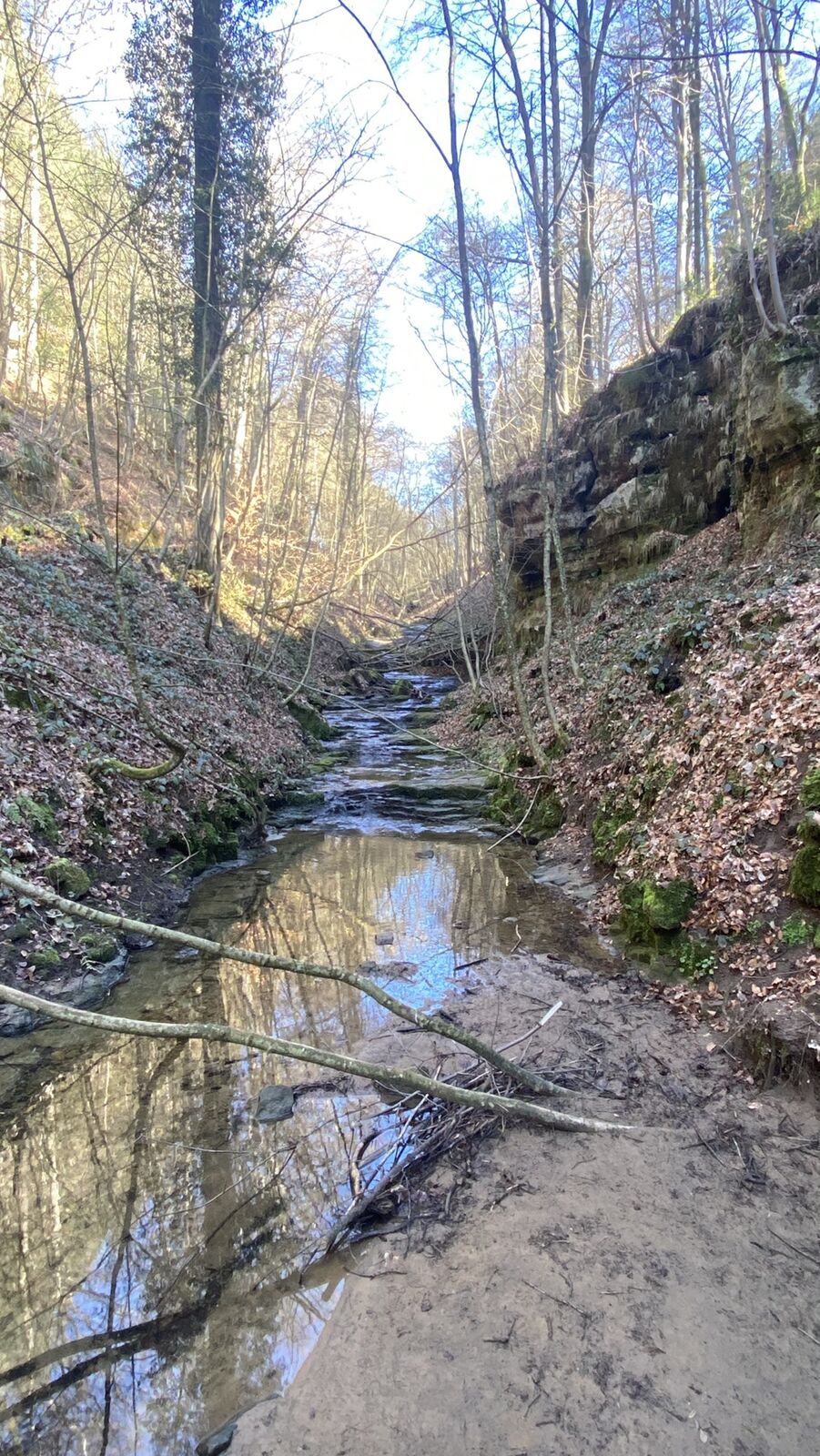
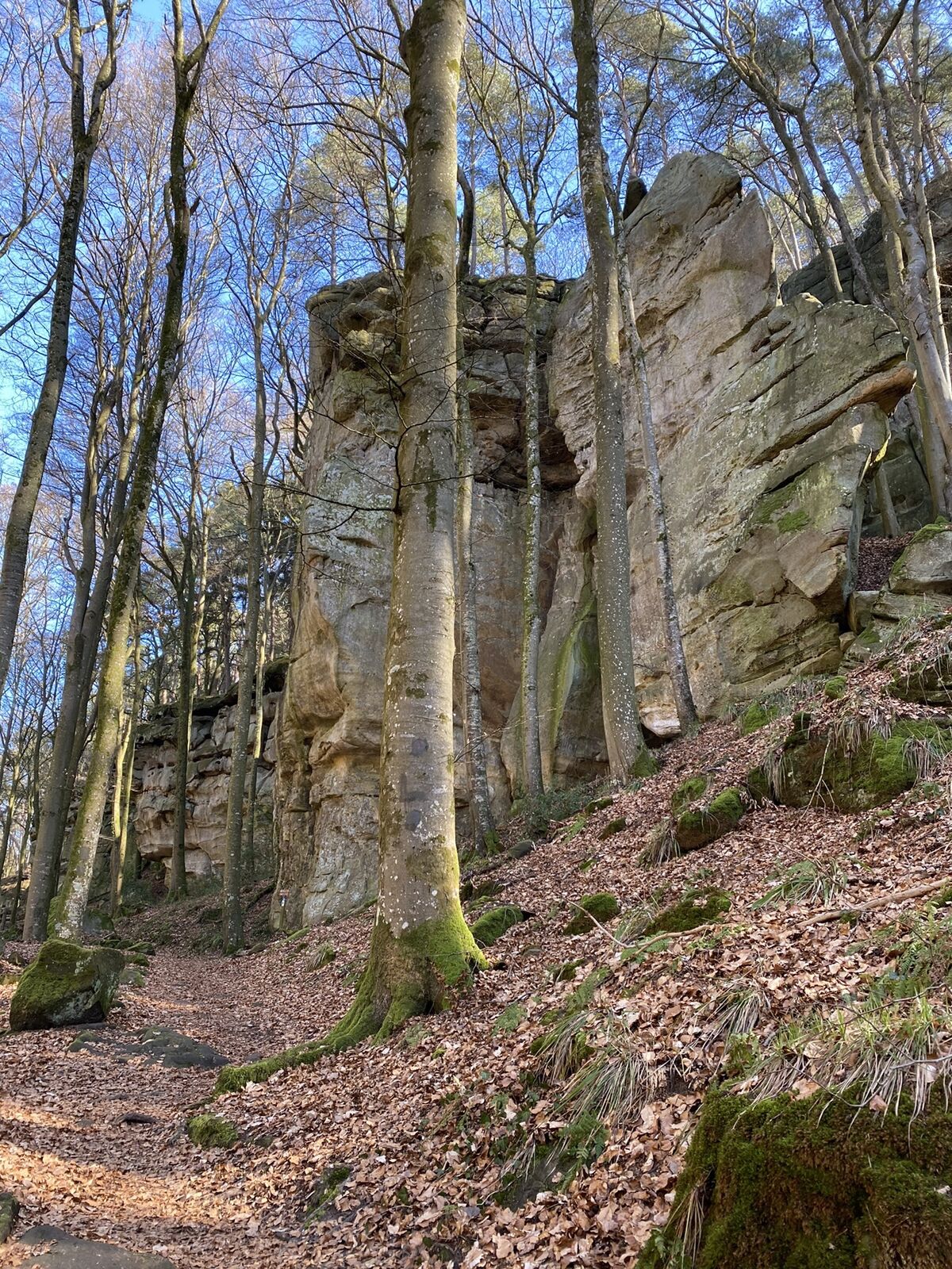
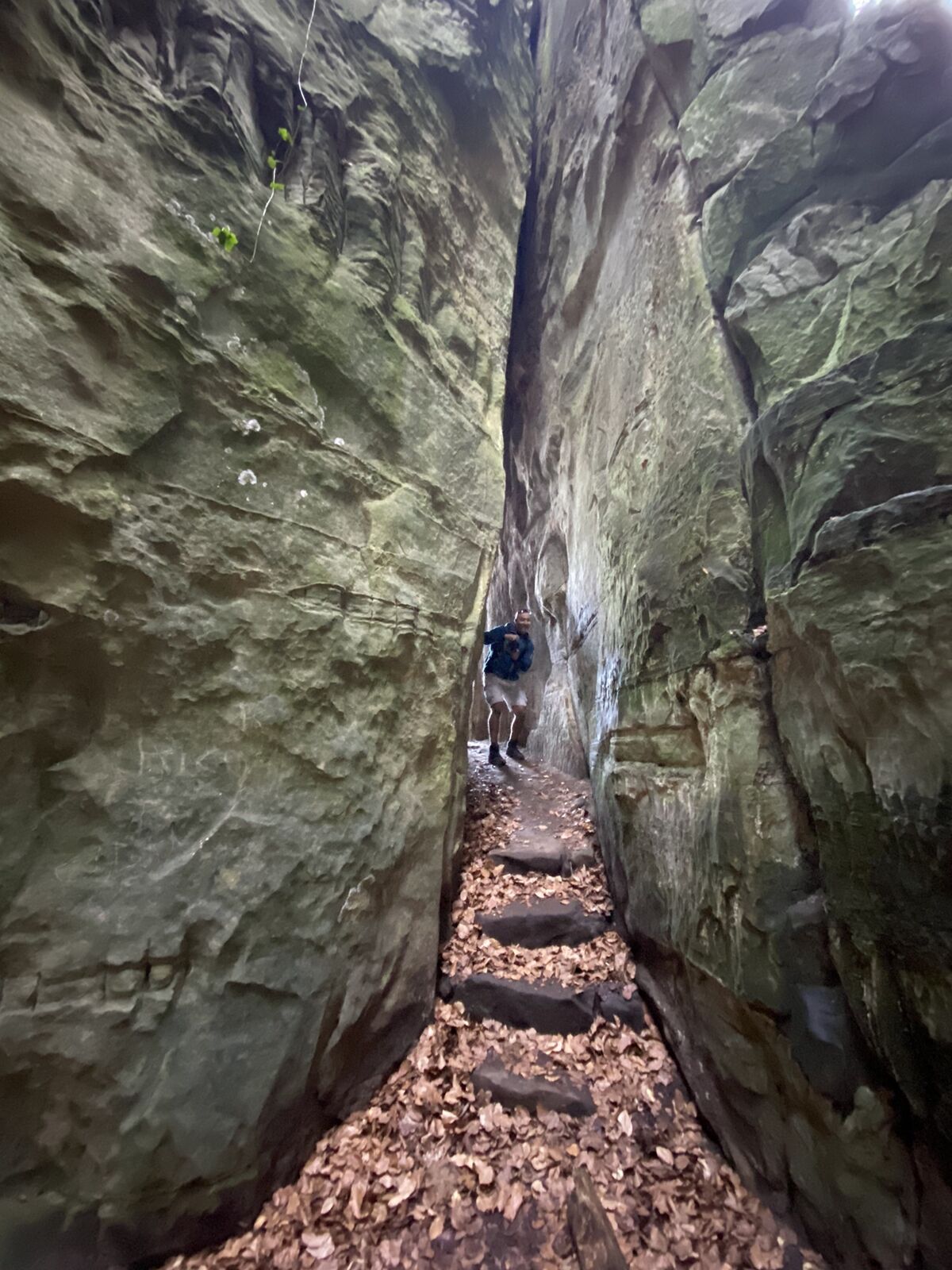
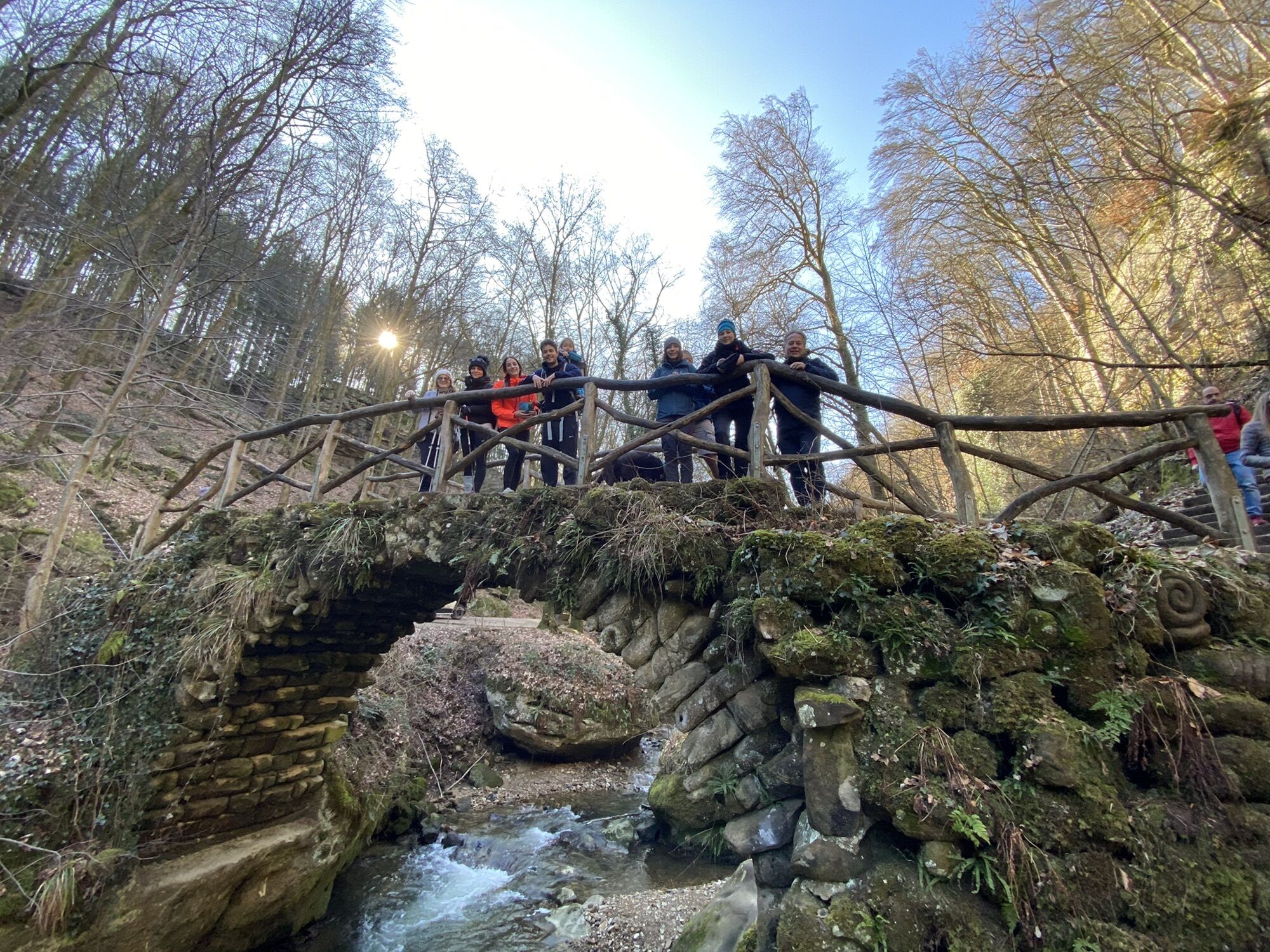
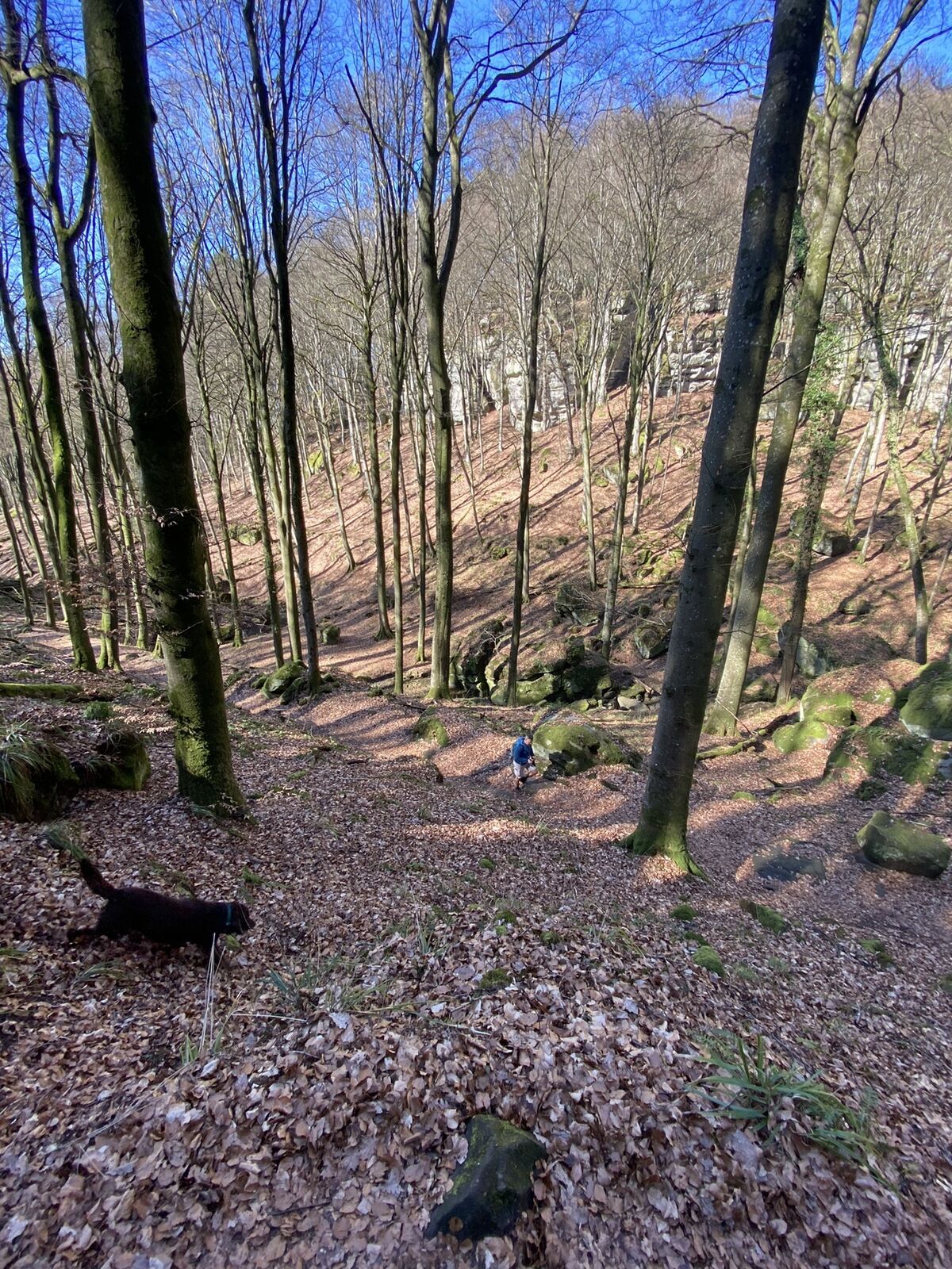
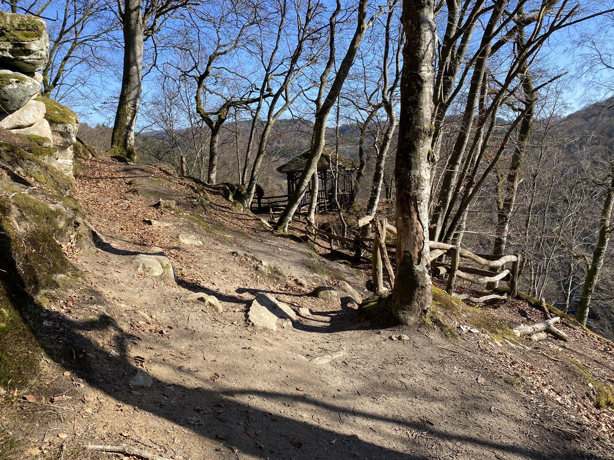
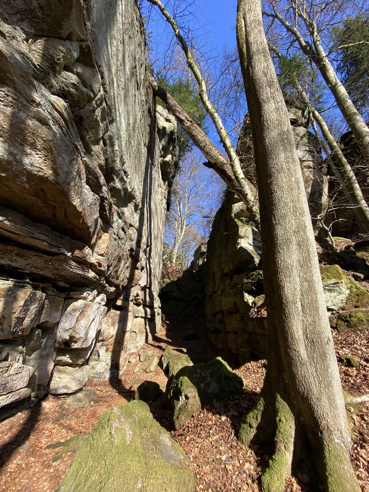
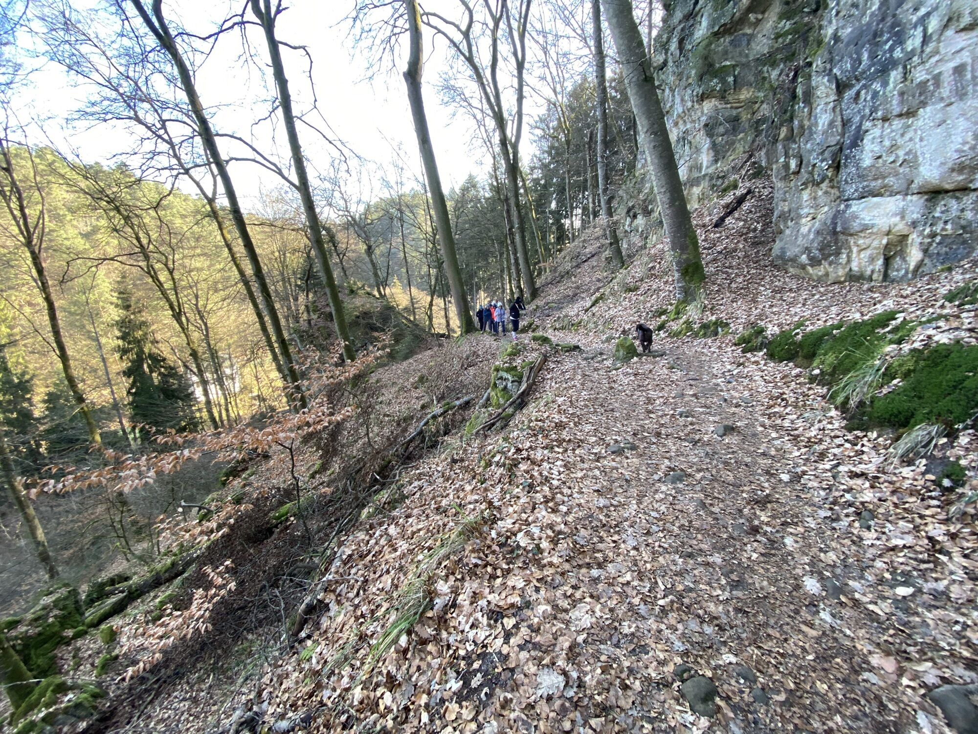
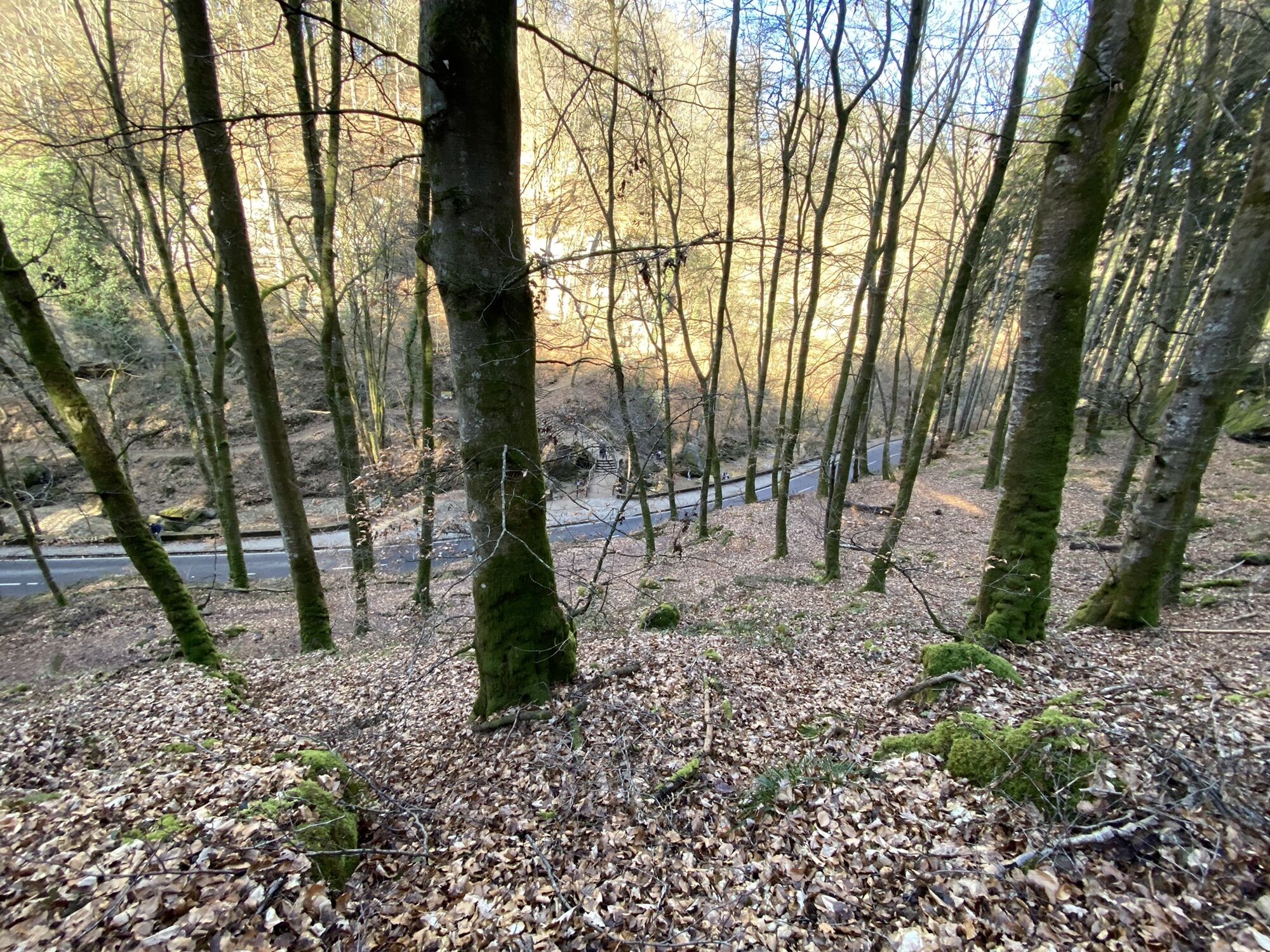
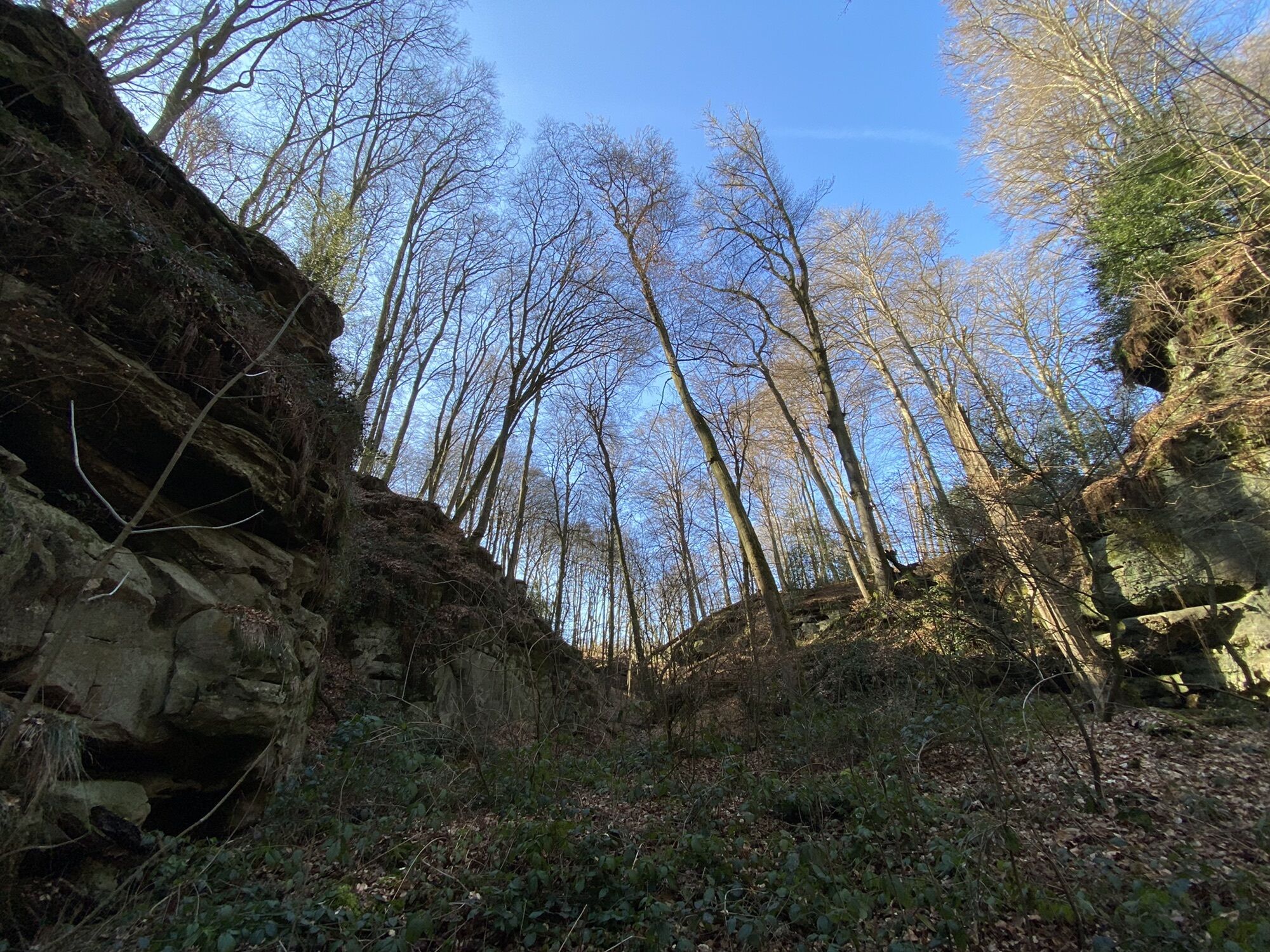
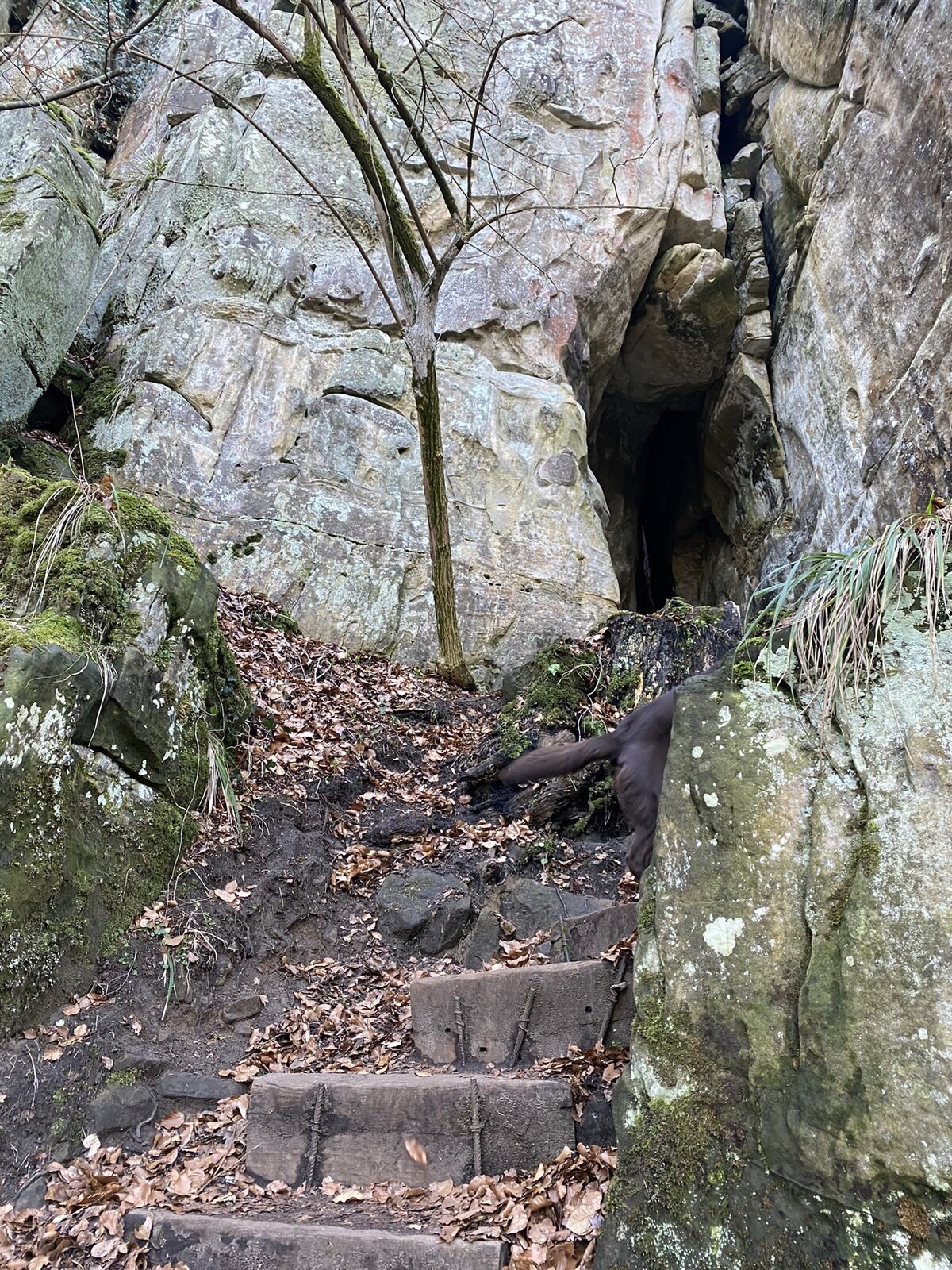
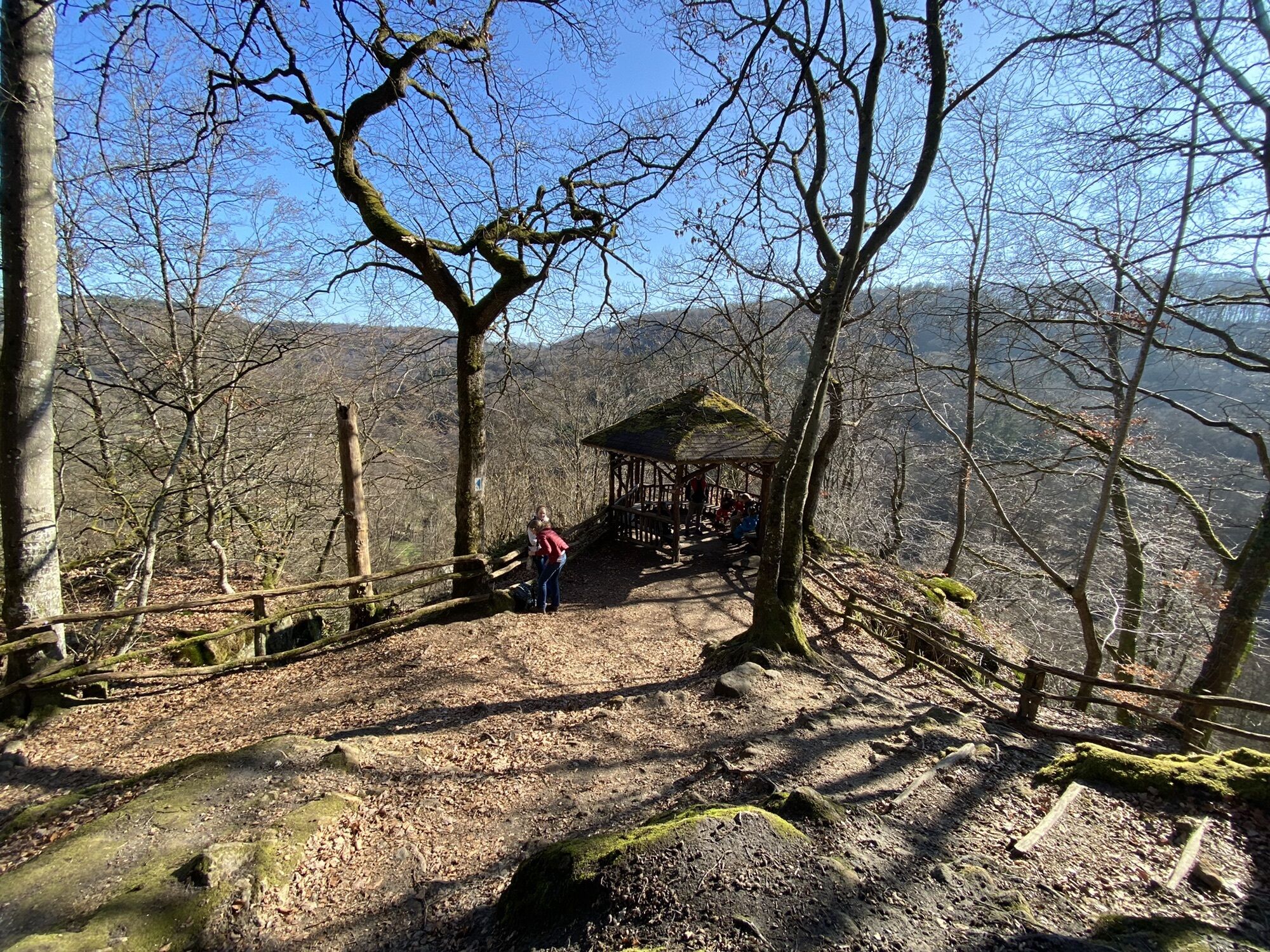
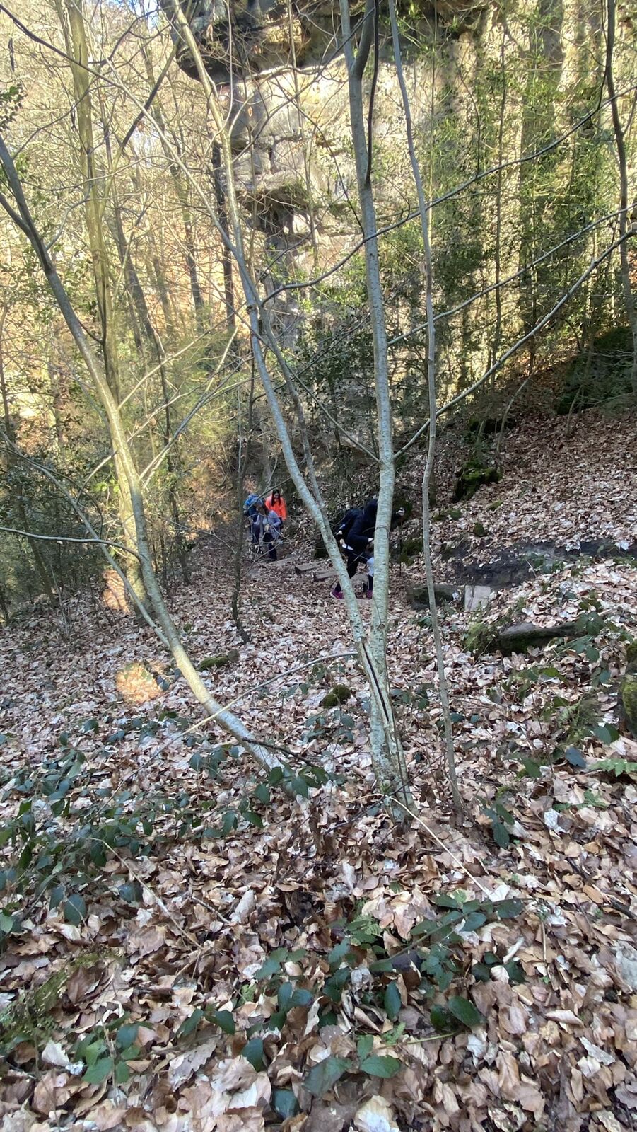
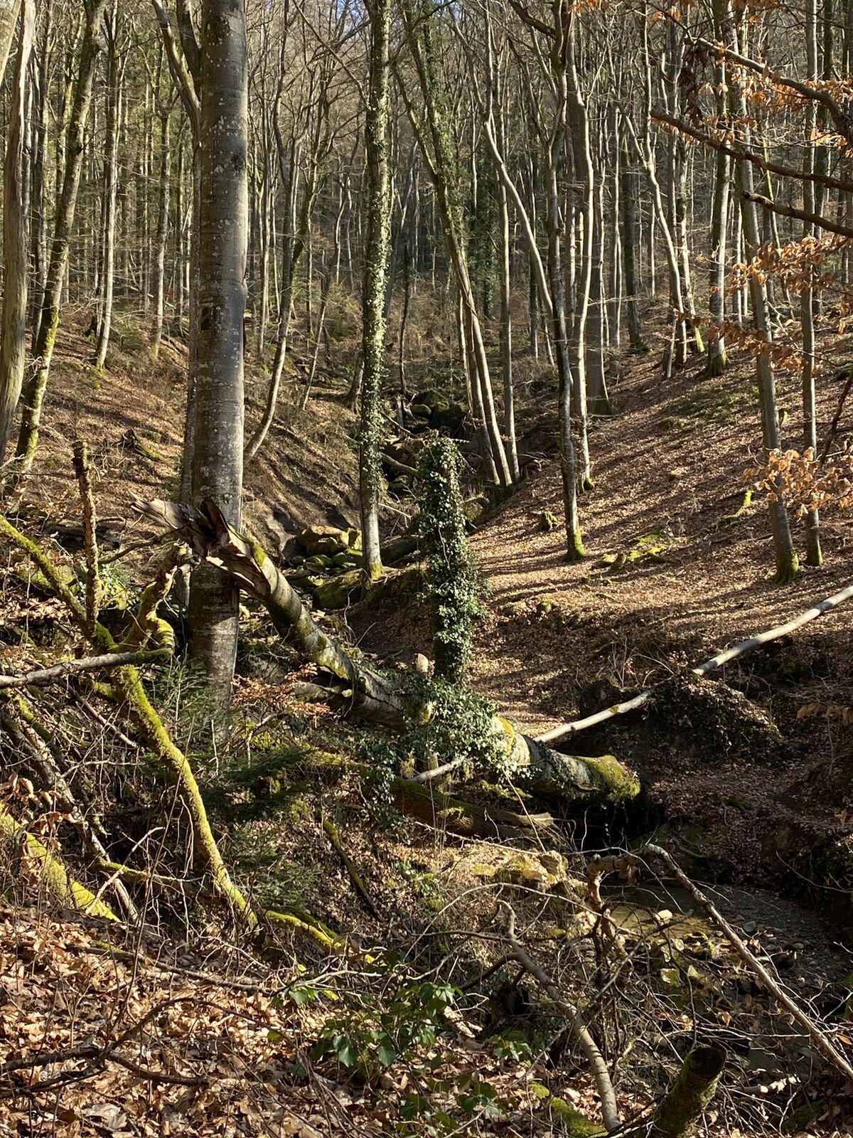
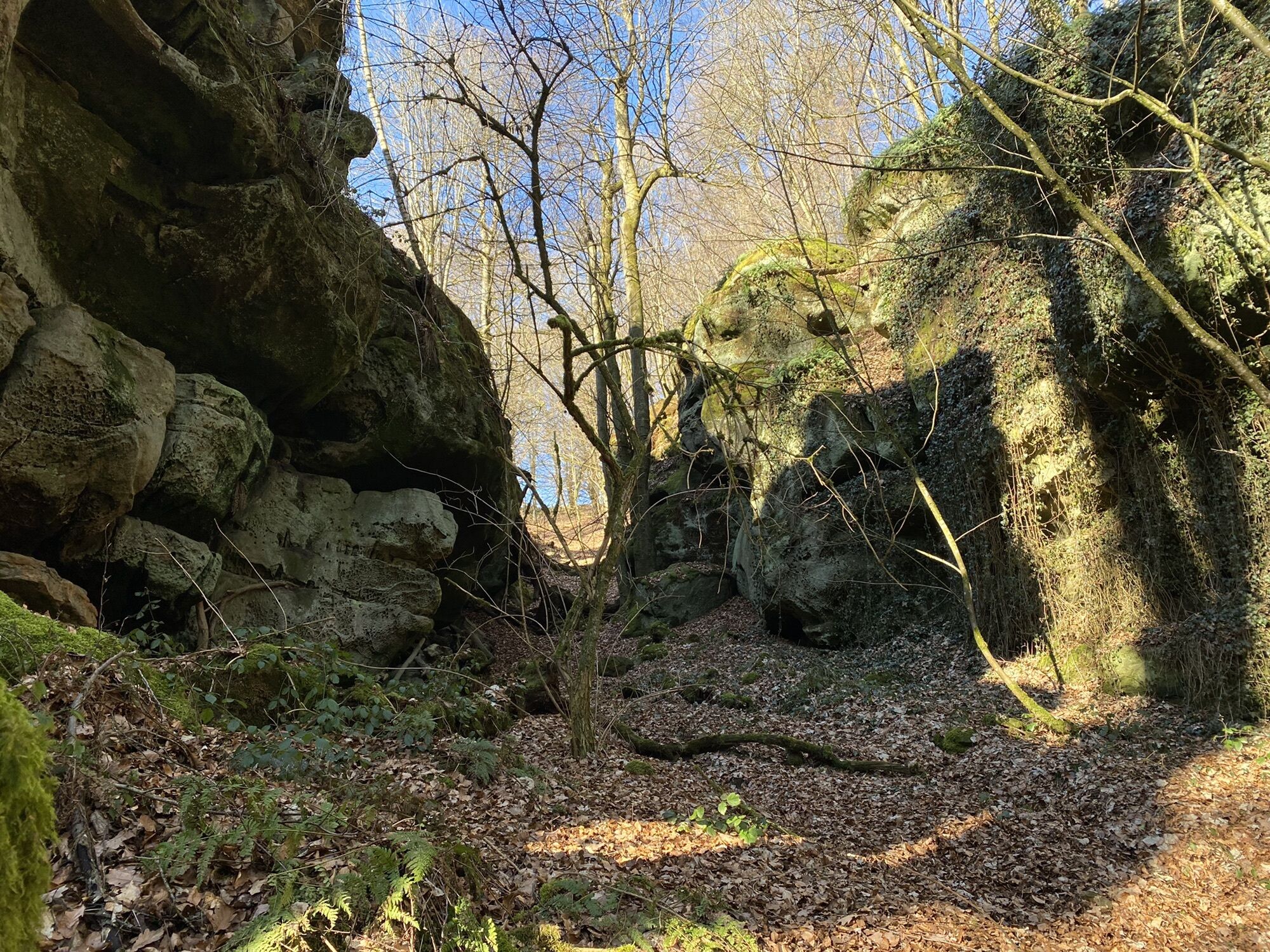
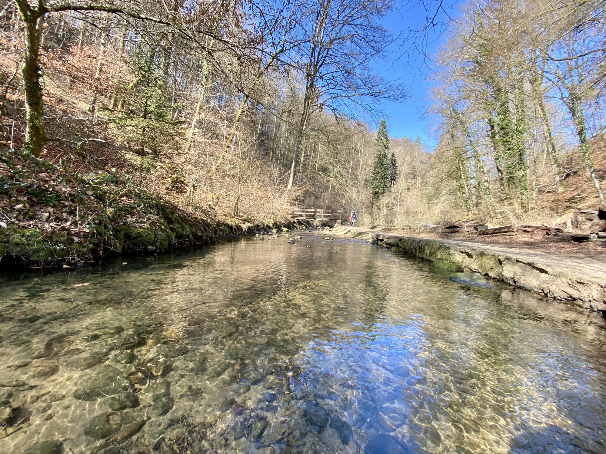
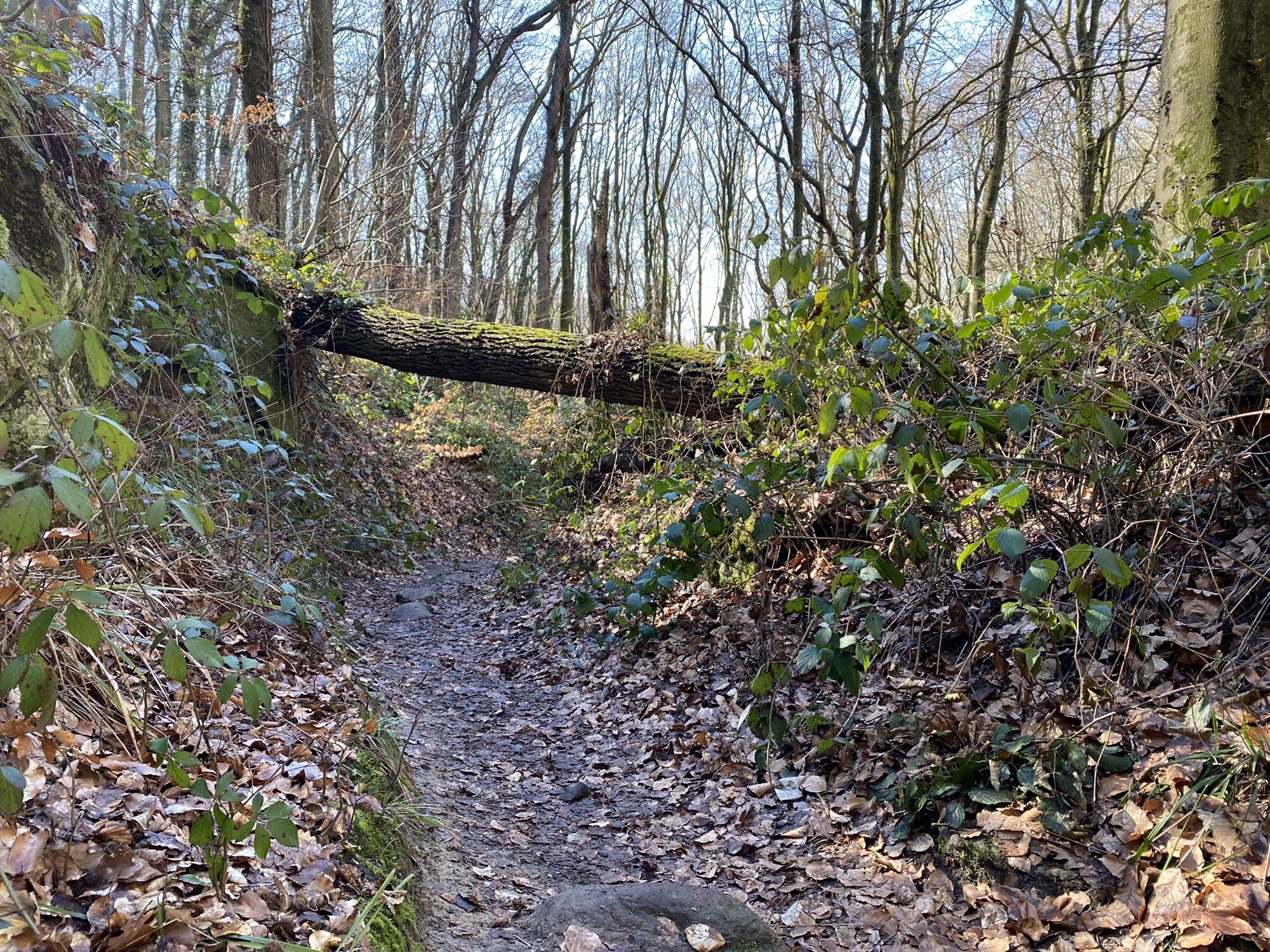
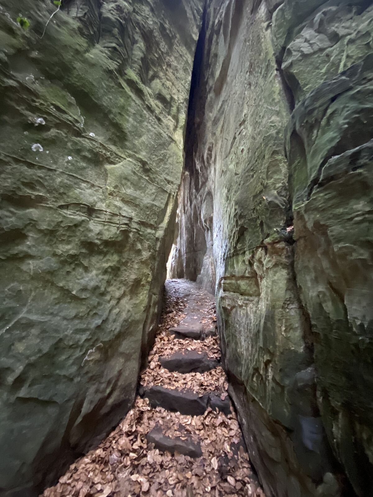
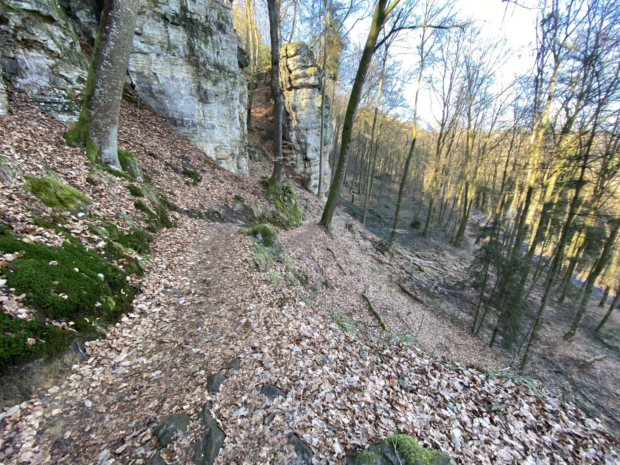
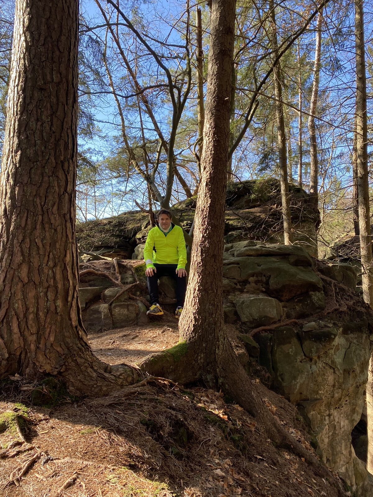
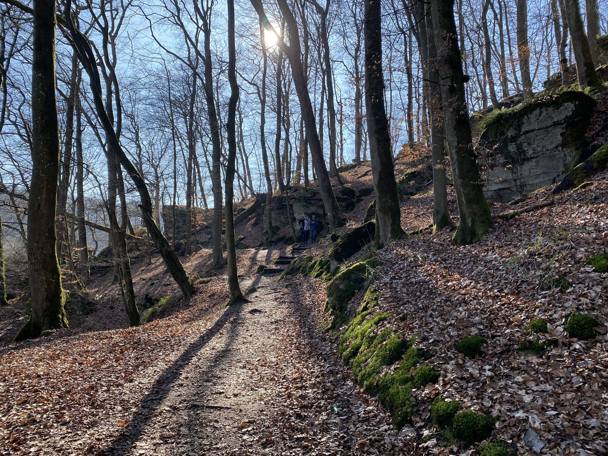
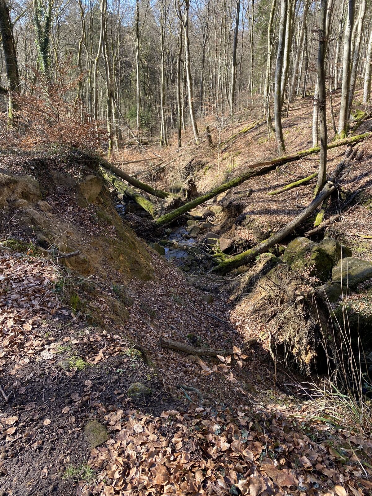
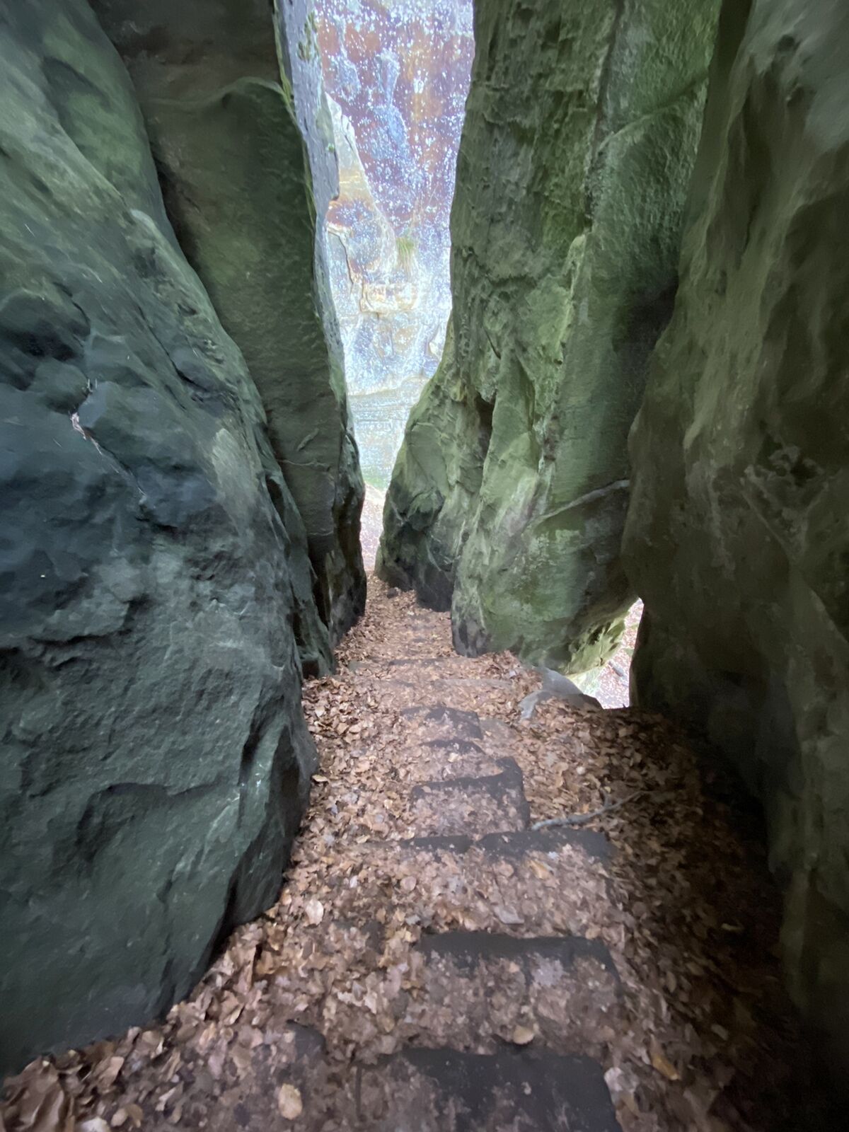
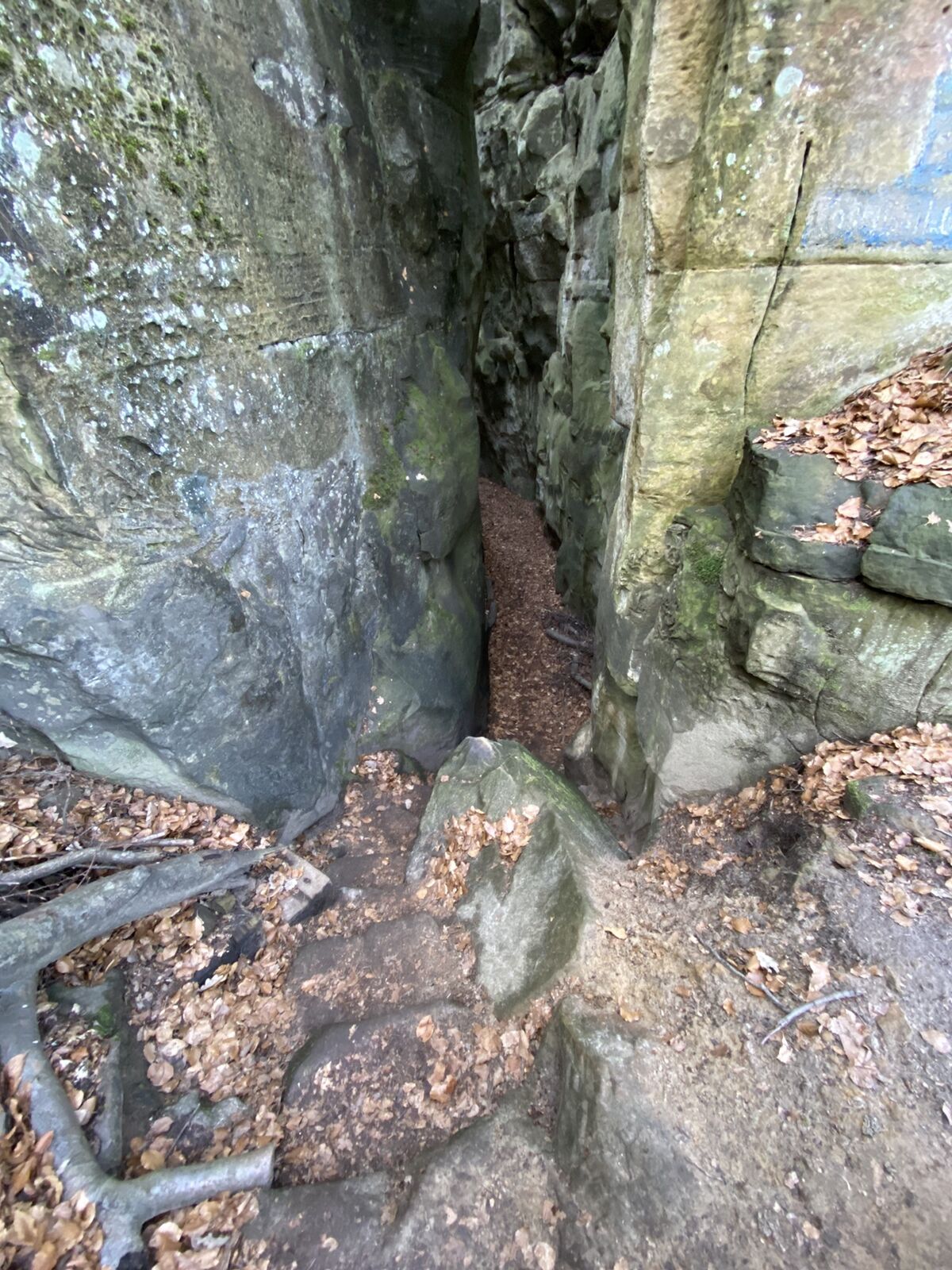
anspruchsvolle Wanderung durchs wunderschöne Mullerthal, die luxemburgische Schweiz
- Difficulty
-
medium
- Rating
-
- Route
-
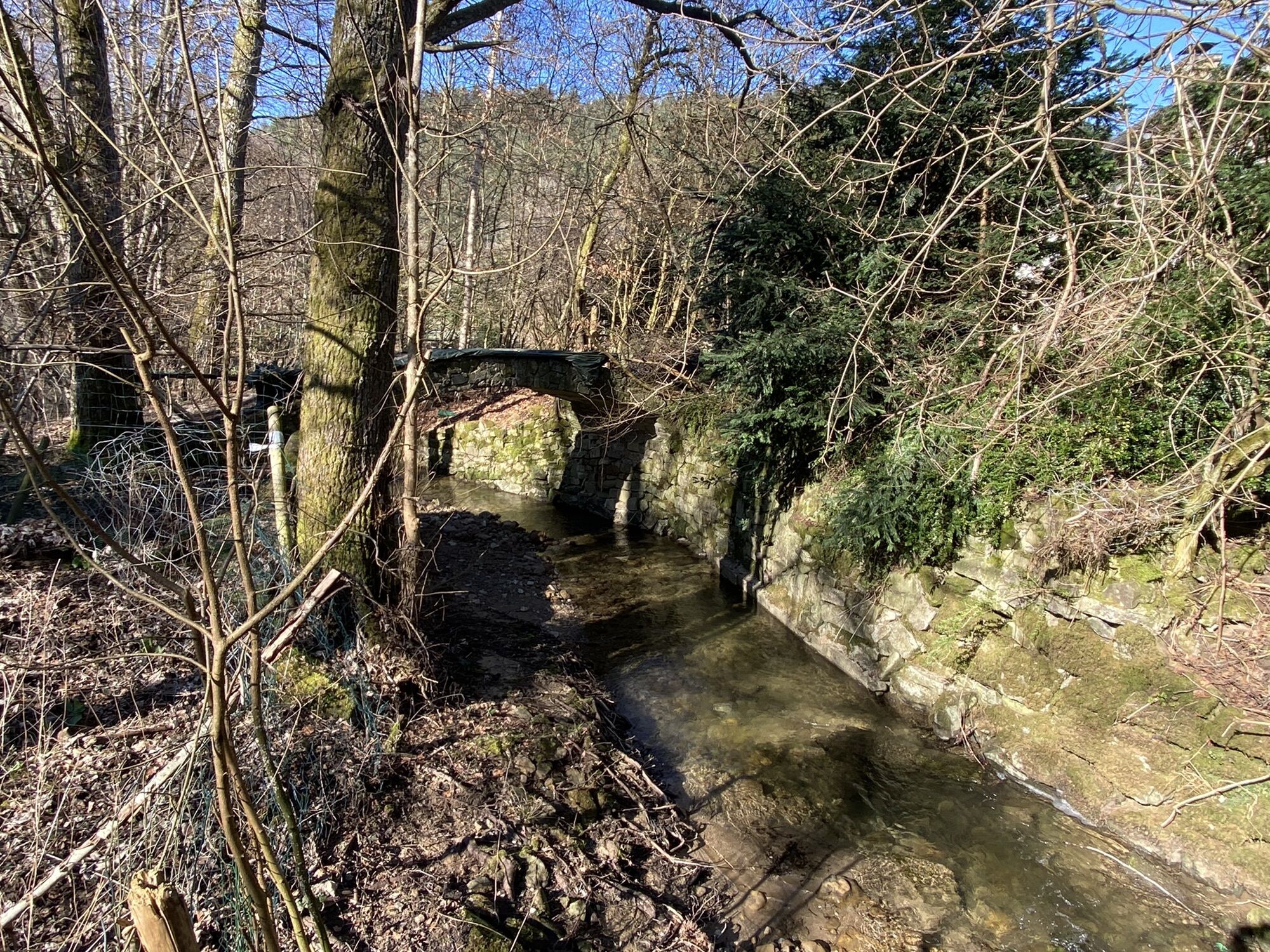
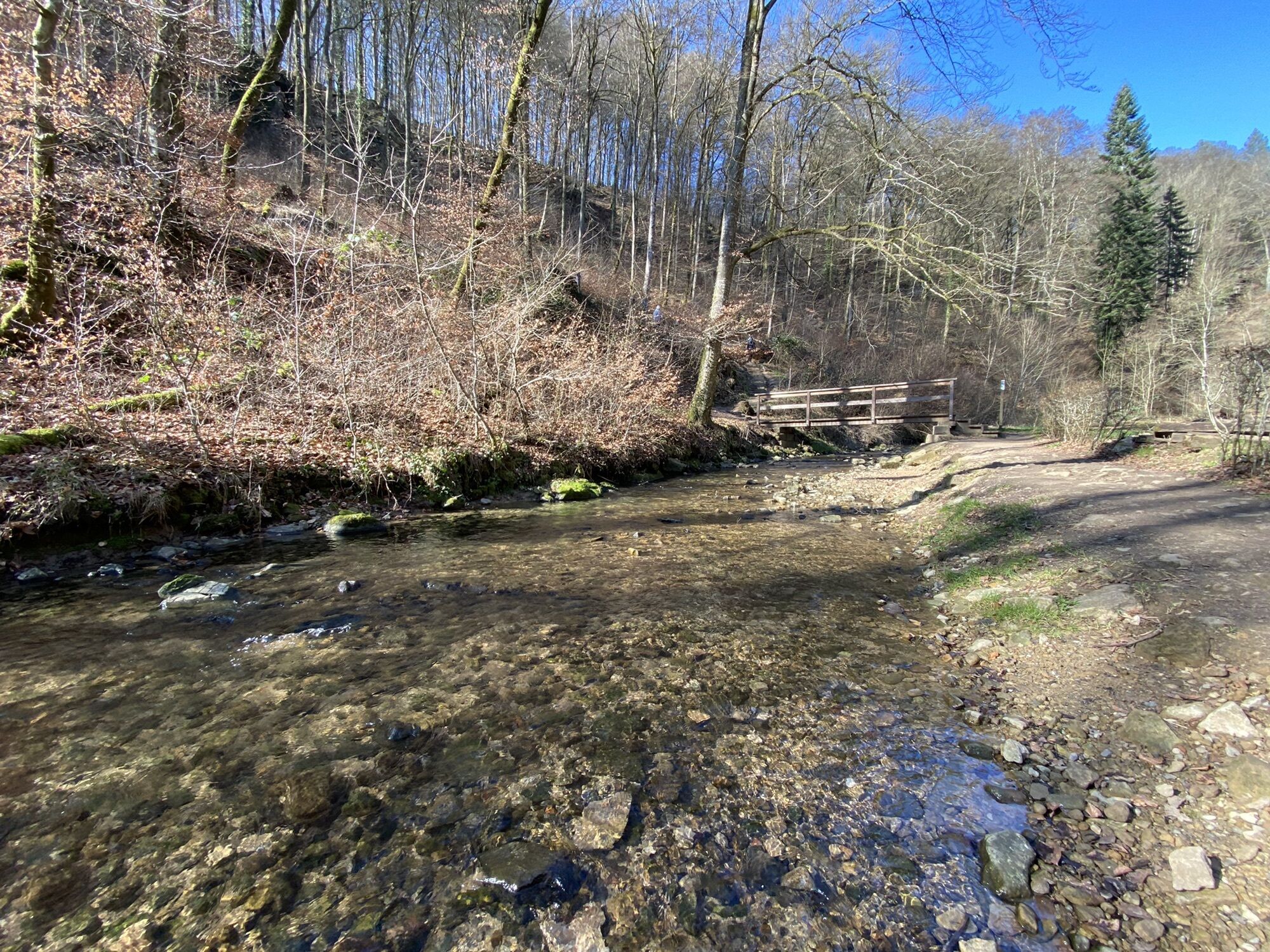
Goldfralay Felsformation1.6 kmEulenburg2.7 kmCascades du Mullerthal3.7 kmHeringer Millen4.8 kmMüllerthal5.0 kmLe Cigalon5.2 kmConsdorf9.0 km
- Highest point
- 330 m

GPS Downloads


Other tours in the regions
-
Müllerthal
548
-
Betzdorf
154


