
- Brief description
-
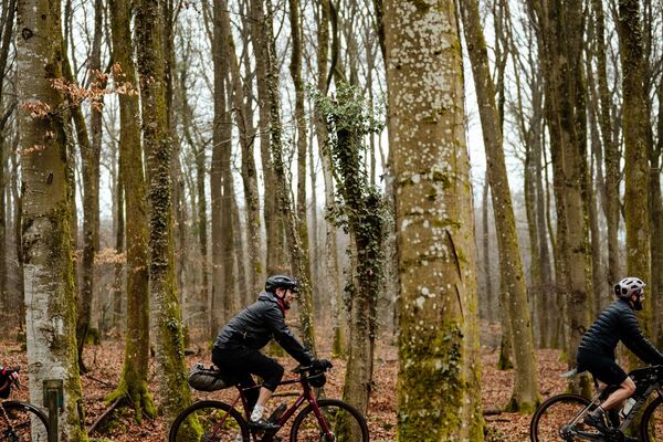
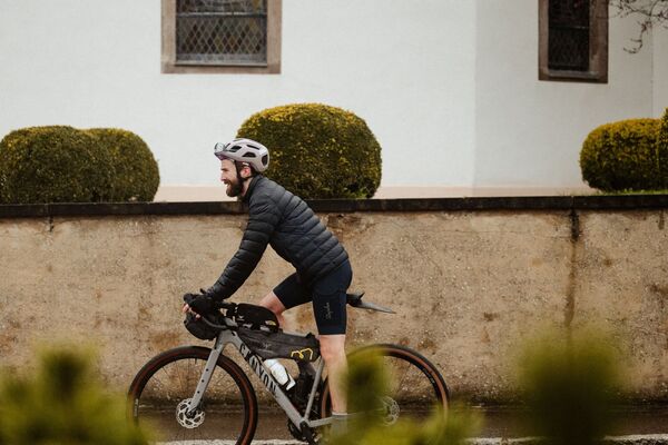
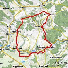
Thy cycle path des Ardennes (PC 22) offers splendid views over the heights of the Luxembourg Ardennes.
- Difficulty
-
medium
- Rating
-
- Starting point
-
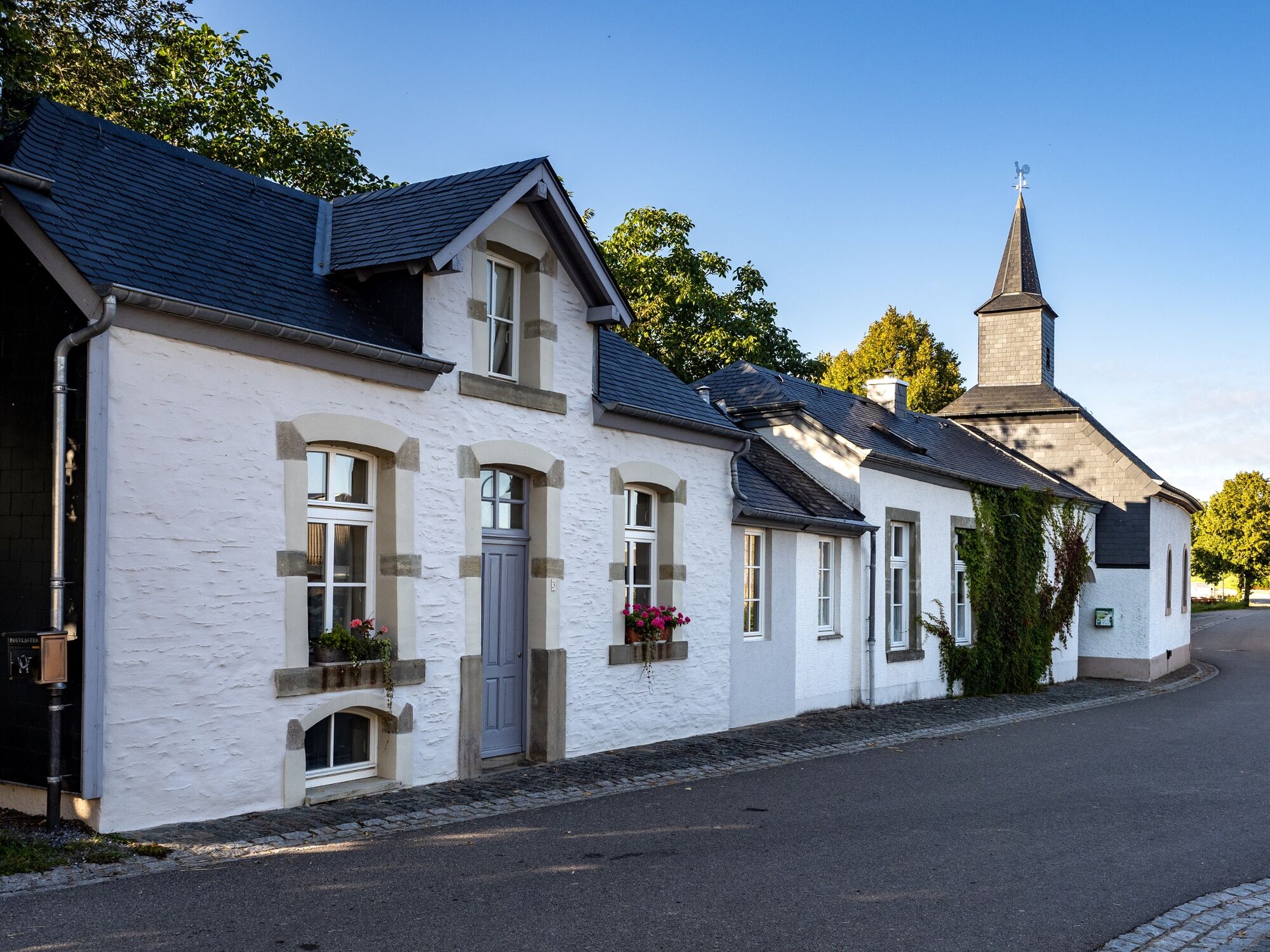
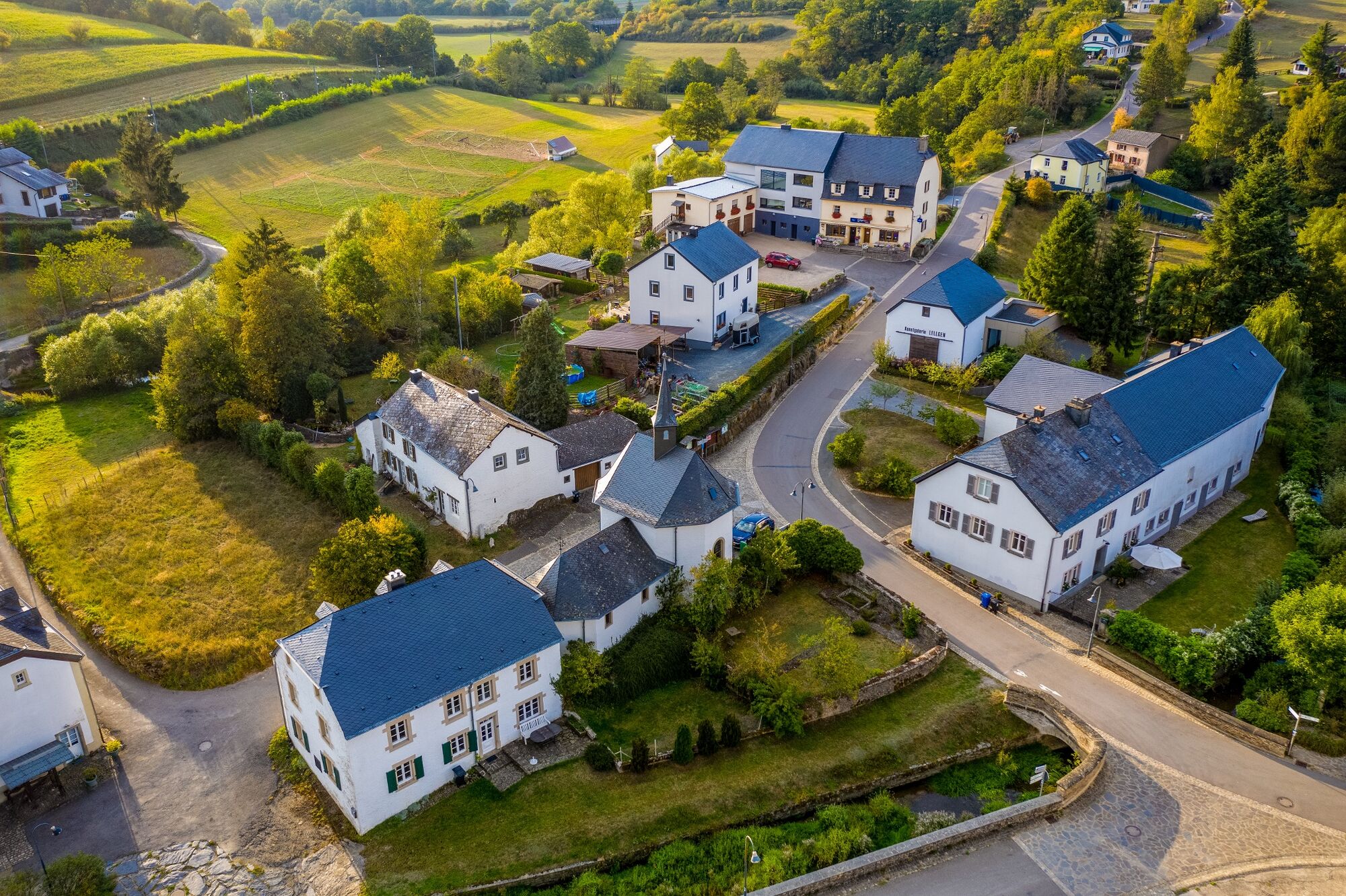
Lellingen, village centre
- Route
-
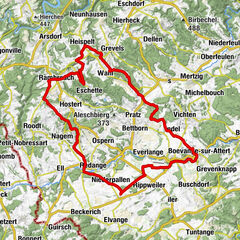
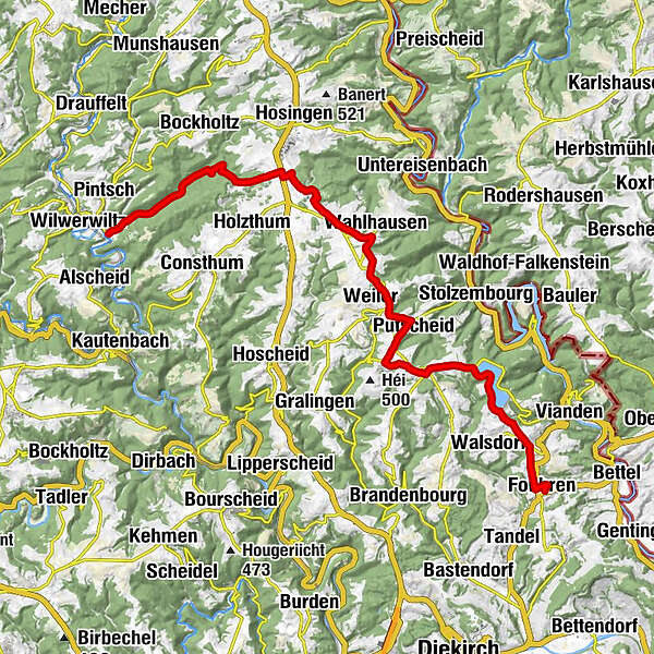
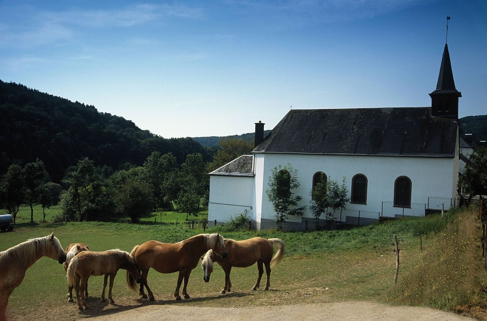
Chapelle Saint-PierreLellingen0.0 kmSaint-Corneille10.9 kmWahlhausen10.9 kmAckerscheid11.6 kmPütscheid14.4 kmNachtmanderscheid15.9 kmPoul16.7 kmGroësteen17.5 kmNiklosbierg18.8 kmFuhren24.2 km
- Best season
-
JanFebMarAprMayJunJulAugSepOctNovDec
- Description
-
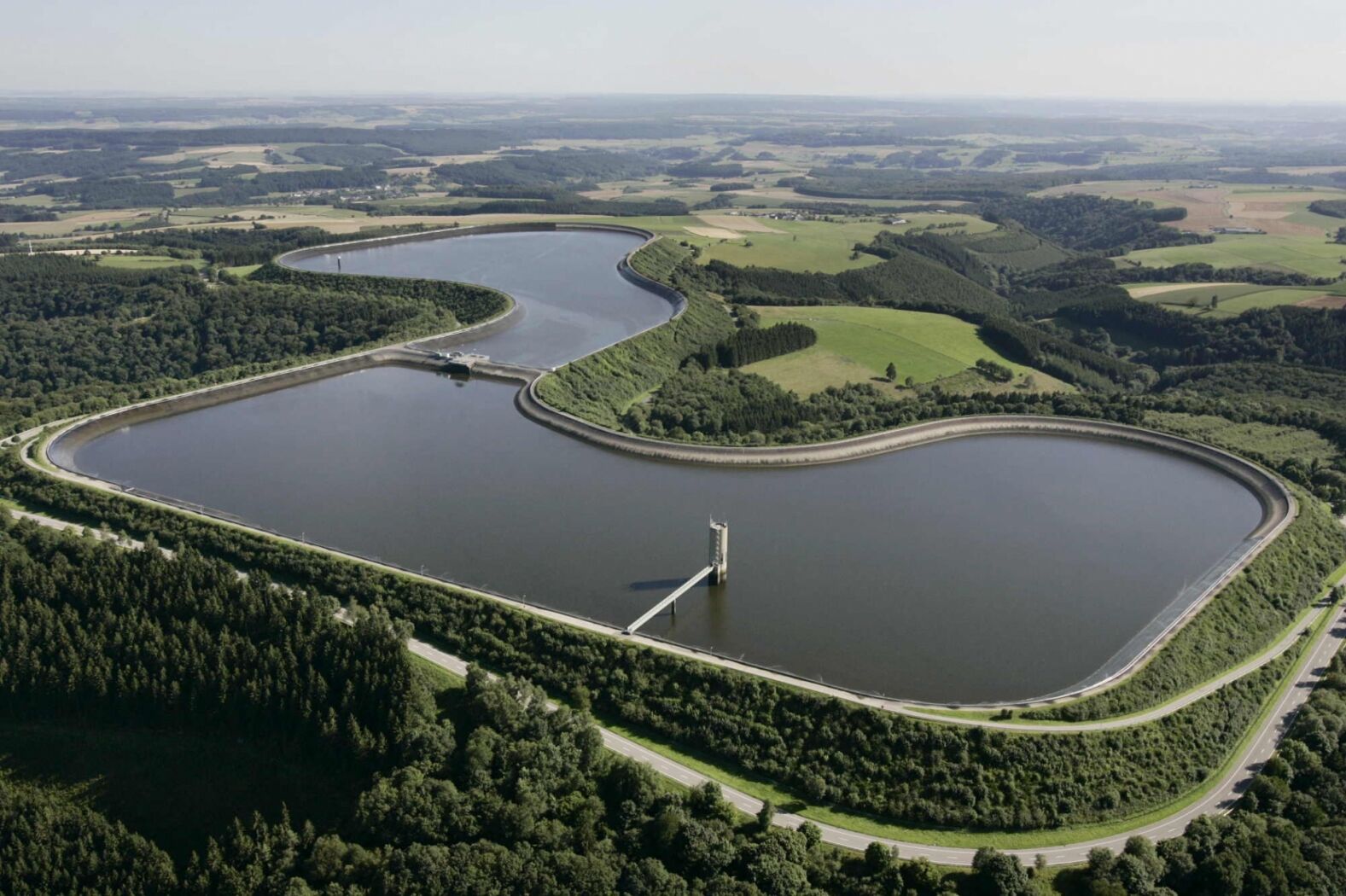
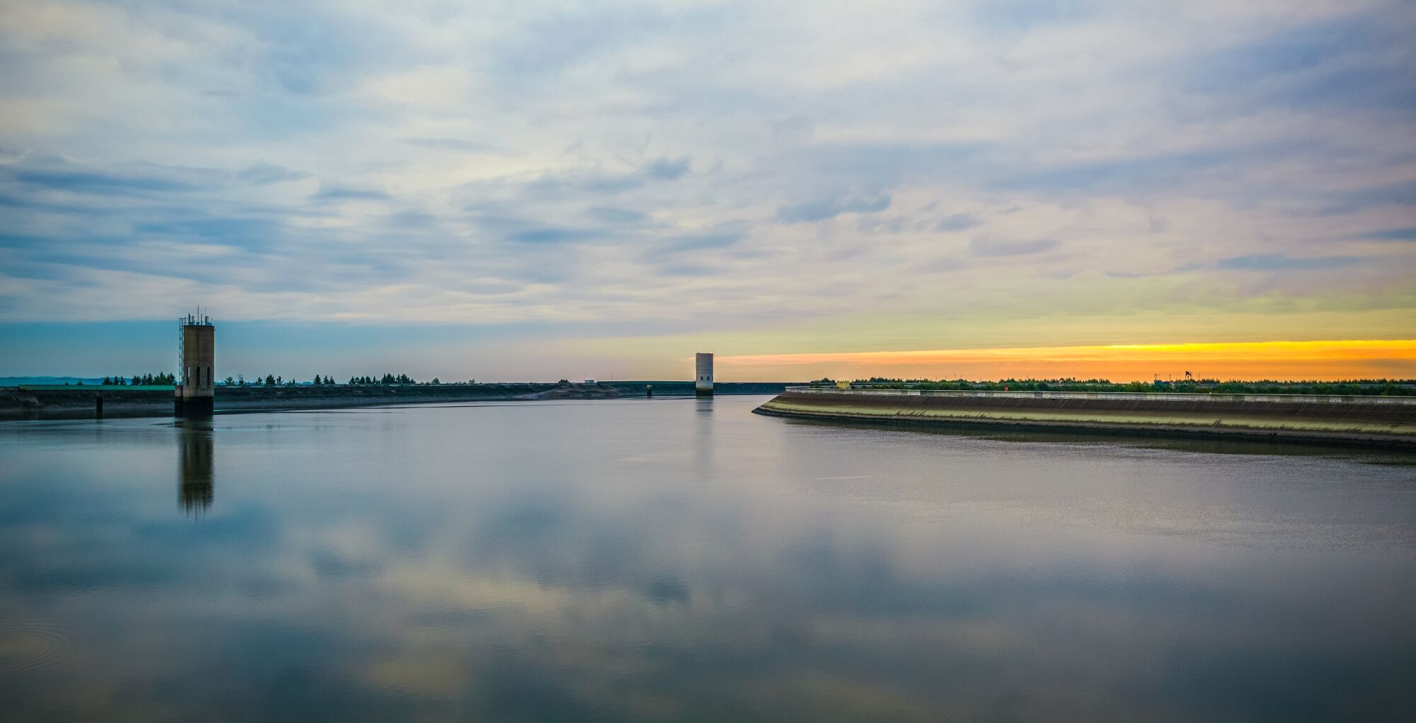
From Lellingen, path 22 climbs back up the slopes through the green forests to reveal superb, distant views over the surrounding heights, particularly towards the Eifel massif in Germany. Following the route towards Vianden, you will pass along the upper basin of the SEO pumped-water hydroelectric power station, the largest of its kind in Europe, then go down to the picturesque medieval town of Vianden, nestling in the bottom of the Our valley, with its narrow, winding streets, its ramparts and its superb castle.
- Directions
-
The start of the PC22 cycle path is in the heart of the village of Lellingen at the junction with the PC21 (northern cycle path). The PC22 follows the course of the "Lellgerbaach" in an easterly direction on the base of the CR323. As it leaves the stream, it enters the Prënzebierg forest. Here begins the climb to Hosingen Barrière (2.9km with a difference in altitude of 164m). At the end of the hill, the track turns left and continues on a slight downhill slope until it intersects with the N7, which it follows for a few metres to pass through a subway on the other side of the N7.
The track continues towards the "Niklosbësch" forest, before which it turns right to cross a small valley and reach the sports centre and the central school near "Wahlhausener Dickt". It ends in the centre of Wahlhausen. As the connection of the two ends of the PC22 has not yet been completed, there are no specific signs on the section described.
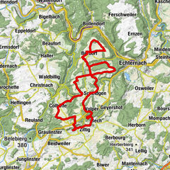
The start of the PC22 cycle path (PC de l'Oesling), which follows the former route of the narrow-gauge railway known as "Benni", is in Bettel in the "Rue du Cimetière", which is also the lowest point of this path (233m). In Bettel there is also a junction with the PC3 Schengen - Vianden cycle path. The PC22 goes up towards Fouhren on the former route of the "Benni".
Halfway between Bettel and Fouhren, a park with a municipal children's playground invites you to take a break. At Schmuelschent, the Engbaach joins the Hinkelsbaach, which flows into the Our at Bettel.Fouhren is reached by the "Faeschentstraße" and the cycle path reaches the highest point of this stretch with 308 metres.
In Fouhren the path also joins the PC23 from Tandel. The PC22 continues in the direction of Mont St Nicolas with the upper basins of the SEO (Société Electrique de l'Our) via municipal roads and sometimes via sections of the CR (end of the longitudinal profile). At the intersection with the CR322, there is the possibility to climb the few hundred steps to reach the edge of the basins and enjoy a panoramic view of the German Eifel, the Gutland and the Luxembourg Oesling.
The trail then continues towards the "Groesteen" and Nachtmanderscheid.
- Highest point
- 523 m
- Endpoint
-
Fouhren
- Height profile
-
 © outdooractive.com
 - Equipment
-
No special equipment is required. Your bike must comply with the Highway Code.
- Safety instructions
-
Always be aware of streets and obstacles that may cross cycle paths.
- Tips
-
Enjoy a great time at the Aqua Nat'Our aquatic centre in Hosingen.
- Additional information
- Directions
-
Follow the signs to Lellingen.
- Public transportation
- Parking
-
Parking spaces nearby.
- Author
-
The tour Cycle path des Ardennes (PC 22) is used by outdooractive.com provided.