


- Brief description
-
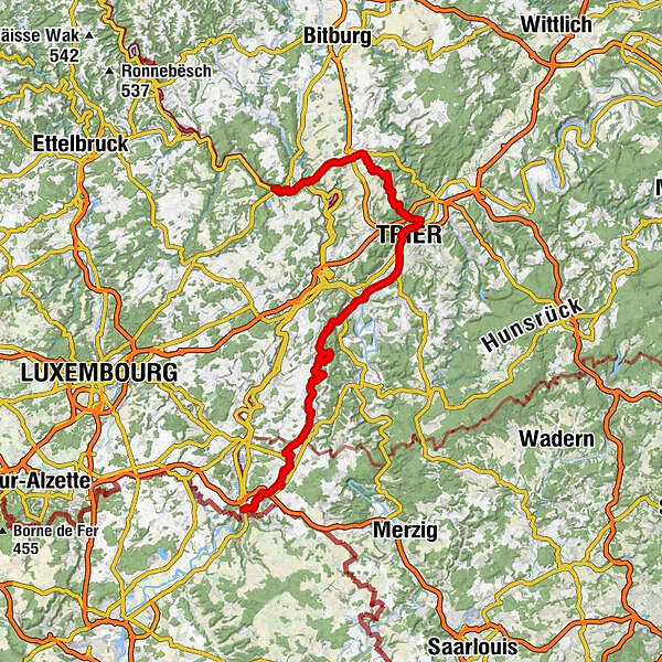
From Echternach via Trier and Konz to Perl, the Way of St James offers a wide variety of cultural highlights and scenic impressions along the German-Luxembourg border.
- Difficulty
-
medium
- Rating
-
- Starting point
-
Echternach
- Route
-
Echternach0.8 kmEchternacherbrück0.8 kmGasthaus Ferring4.6 kmMinden4.7 kmMarienkapelle13.3 kmWelschbillig13.6 kmSt. Petrus14.0 kmSt. Luzia Möhn17.1 kmMöhn17.3 kmKimmlingen19.4 kmButzweiler22.5 kmSankt Remigius22.6 kmButzerbach-Quelle22.8 kmLorich25.7 kmGasthaus Lenerz25.7 kmTaubenstein-Quelle29.2 kmBiewer29.8 kmJosterberg (202 m)30.2 kmAufm Augenscheiner31.2 kmPallien33.0 kmZurlauben33.3 kmTrier (137 m)33.7 kmMatthias35.8 kmLöllberg38.5 kmKarthaus40.7 kmKonz42.9 kmKonzerbrück43.3 kmMargarethenkapelle47.4 kmTawern47.9 kmMetzenberg (327 m)50.3 kmHinkelsgret54.4 kmKapellchen55.7 kmMannebach55.8 kmMannebacher Brauhaus55.8 kmKümmern57.5 kmKippberg (409 m)58.3 kmHochwald-Hostebergblick58.6 kmSt. Wendelinus59.6 kmFisch60.1 kmSt. Jakobus61.6 kmBrouderbuer - Bruderbrunnen61.6 kmAlterhof61.9 kmMaklich63.0 kmKörrig65.4 kmSt. Nikolaus65.4 kmMerzkirchen67.6 kmSt. Martin67.7 kmRenglischberg (408 m)75.9 kmSehndorf84.5 kmPerl (254 m)85.3 kmSt. Gervasius & Protasius85.5 kmQuirinuskapelle85.6 kmEvangelische Kirche86.2 kmSchengen86.9 km
- Best season
-
JanFebMarAprMayJunJulAugSepOctNovDec
- Description
-
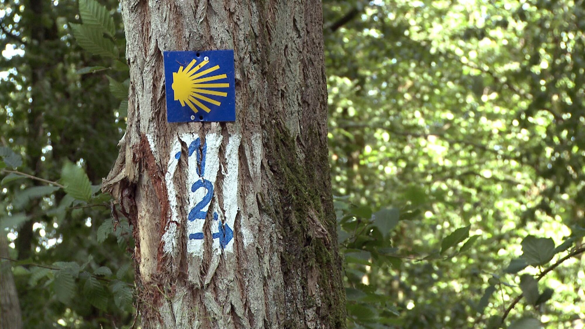
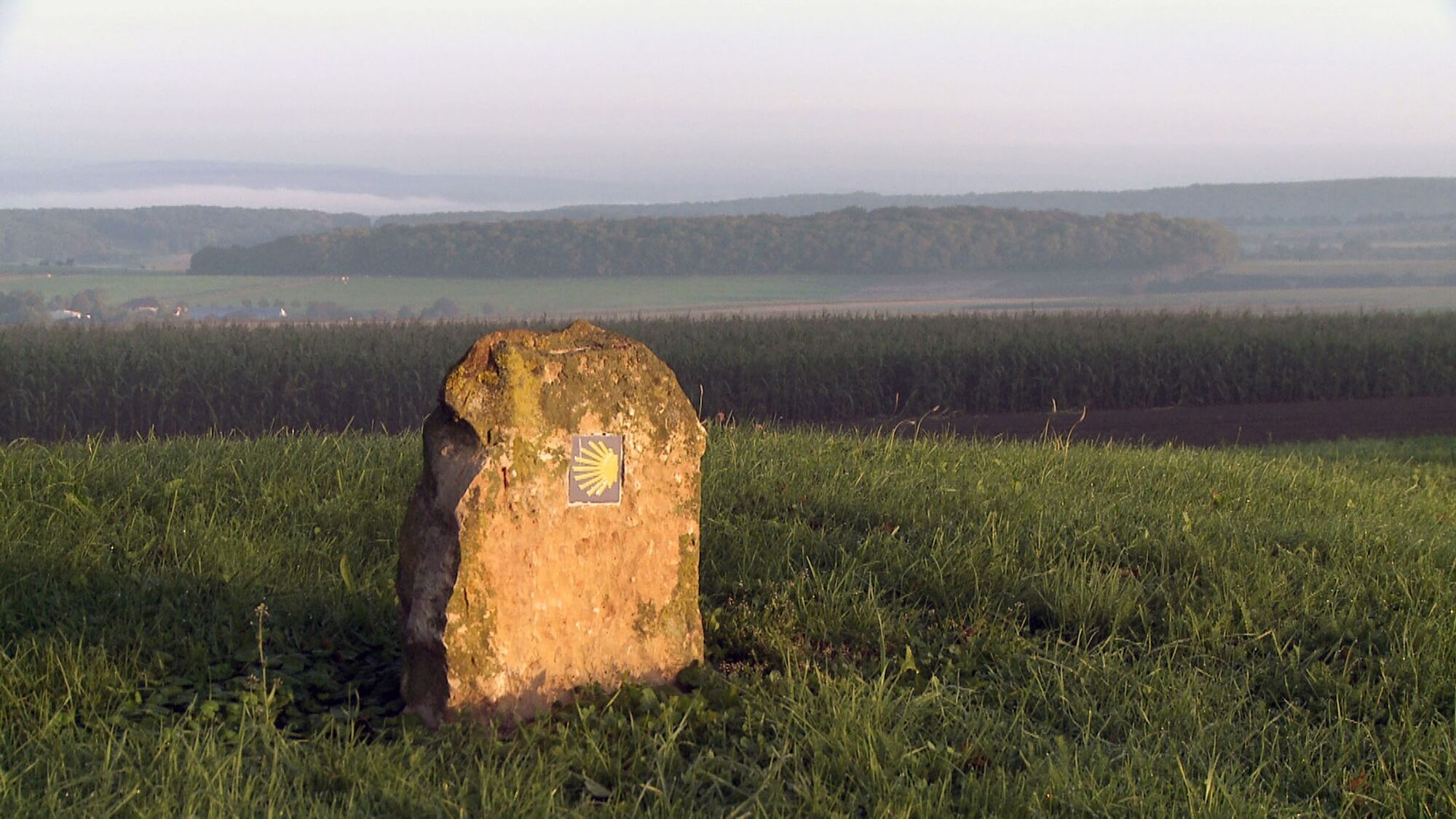
The Way of St James from Echternach to Perl is part of the Europe-wide network of pilgrimage routes that formed in the Middle Ages from Santiago de Compostela in north-west Spain, through southern Europe, France, Germany to the British Isles, Scandinavia and Eastern Europe.From Echternach to Trier, the pilgrimage route follows the Via Coloniensis. From Trier, the route continues along the German-Luxembourgish Way of St James to Konz and on across the Saargau until you finally reach your destination of Perl.
- Directions
-
In the abbey town of Echternach, the oldest town in Luxembourg, the route begins at two sacred buildings that are special in terms of church history and architecture: the four-towered Romanesque basilica and the baroque abbey. The important pilgrimage site is home to the tomb of St Willibrod and is famous for its annual jumping procession on Whit Tuesday.
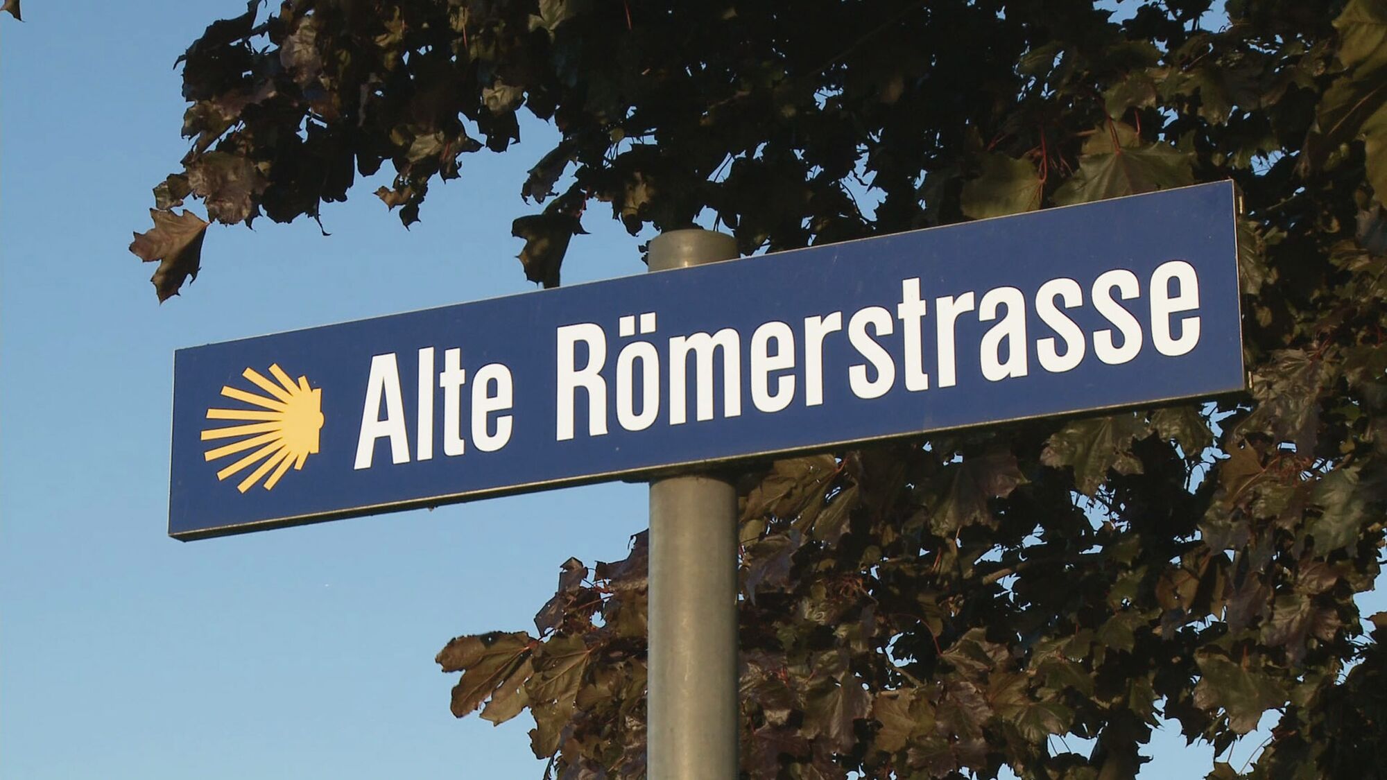
At the old customs bridge in Echternach, the route changes to the German bank of the Sauer and leads along the border river towards Minden with wide views of the Sauer valley. After the Prüm flows into the Sauer, the route climbs uphill along an old Roman road to the plateau of the Bitburger Gutland.
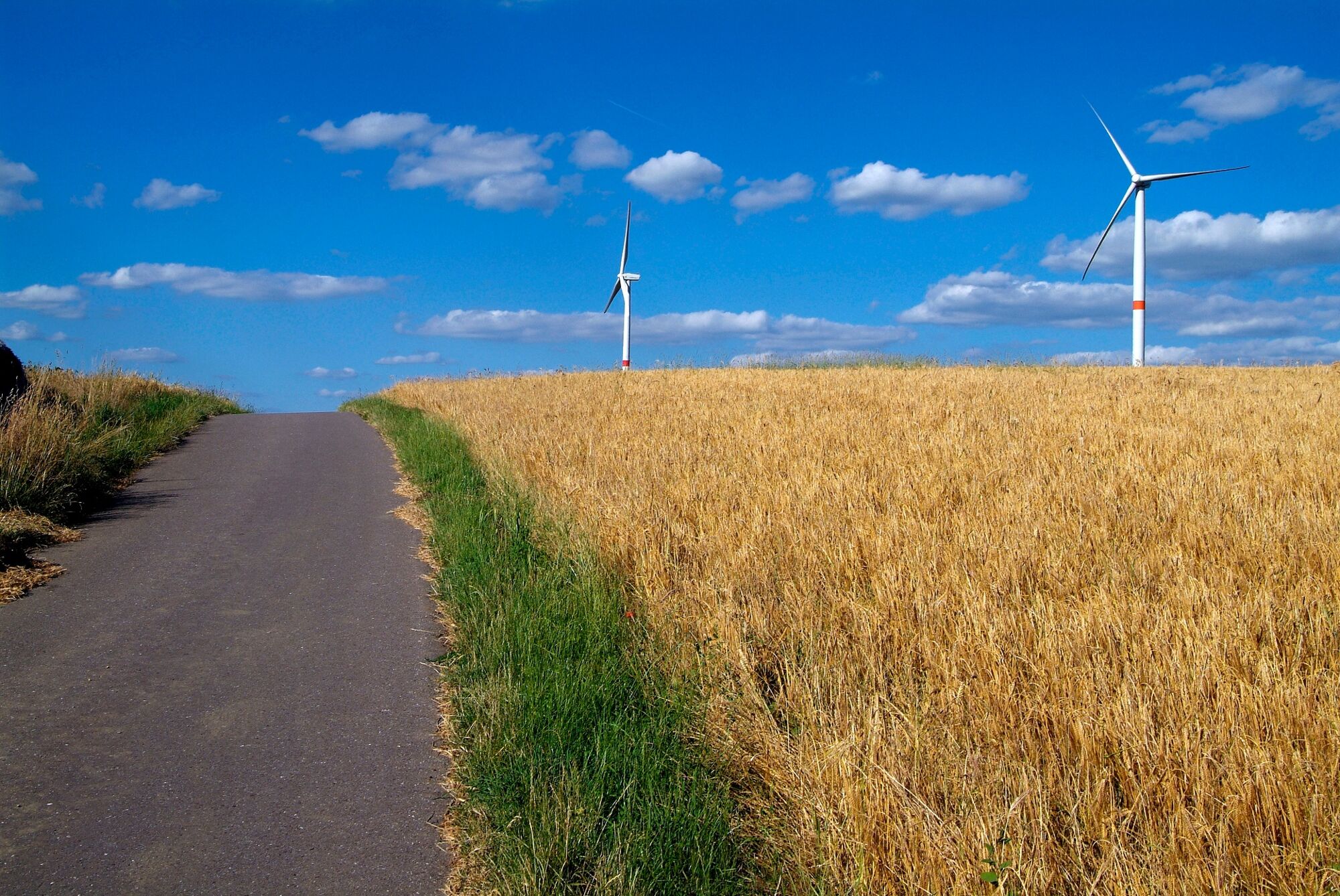
The route leads past former Westwall bunkers and tall wind turbines to Welschbillig, whose village square is adorned with two round towers of the former town wall and replicas of Roman sculptural heads (herms).Through the hilly landscape with idyllic orchards of the southern Vordereifel, the route leads to the village of Möhn with its 16th century dormouse altar, which is well worth seeing. The pilgrimage route continues via Kordel-Kimmlingen through the romantic Butzerbach valley to Butzweiler. Here we recommend a detour to the Pützlöchern, the shafts of a former Roman copper mine from the 1st and 2nd centuries AD.
After a while, you pass through the small village of Lorich, which is surrounded like an island by the steep slopes of the southern Bitburger Gutland. Finally, you reach the Moselle valley and the Trier district of Biewer. From here, the trail leads along the former towpath of the Moselle, then over the Kaiser Wilhelm Bridge to the pilgrimage centre of Trier. The Porta Nigra marks the start of Trier city centre, with the tourist information office right next door. The main market square and cathedral are 200 metres further on. The best way for pilgrims to discover Germany's oldest church is through meditation. In the cathedral information centre opposite, pilgrims can obtain all the information they need about routes, maps, literature, accommodation and prayers, from badges to pilgrim passes.
Another milestone on the pilgrimage route in the episcopal city is the venerable St Matthias Abbey. The basilica houses the remains of St Matthias, the only apostle's tomb north of the Alps and as far as Santiago.
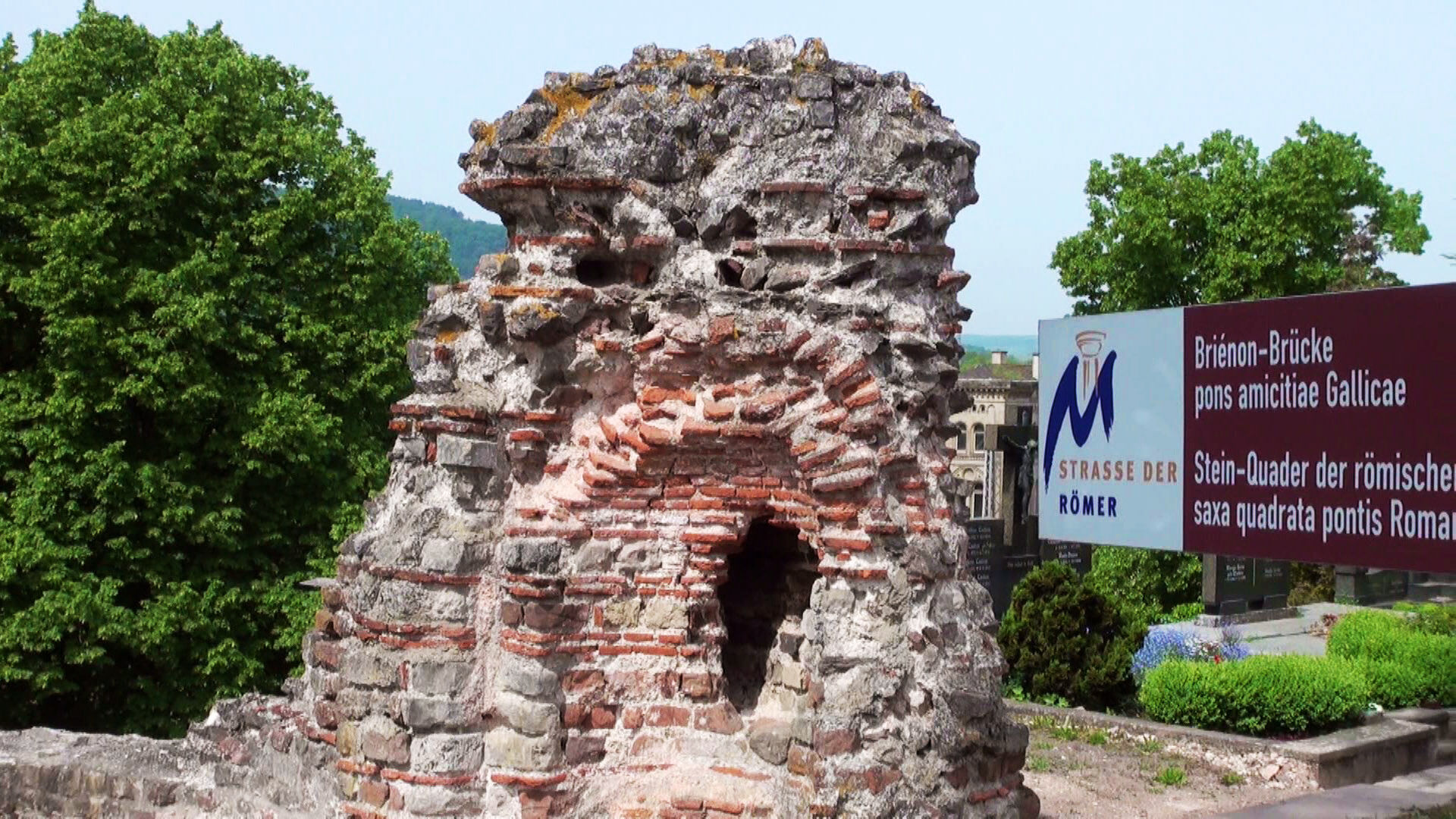
From St Matthias, the route runs up the Moselle to Konz, where the late Roman villa of Emperor Valentinian I once stood. Here, where the Saar flows into the Moselle, the Way of St James crosses the Saar and climbs gently towards the Saargau.
At Metzenberg near Tawern, the Way of St James leads past a reconstruction of a Roman temple district. From there, the pilgrimage route runs on or parallel to the former Roman road from Trier to Metz on the heights of the Saargau. At Kümmern, it crosses orchards and fields.
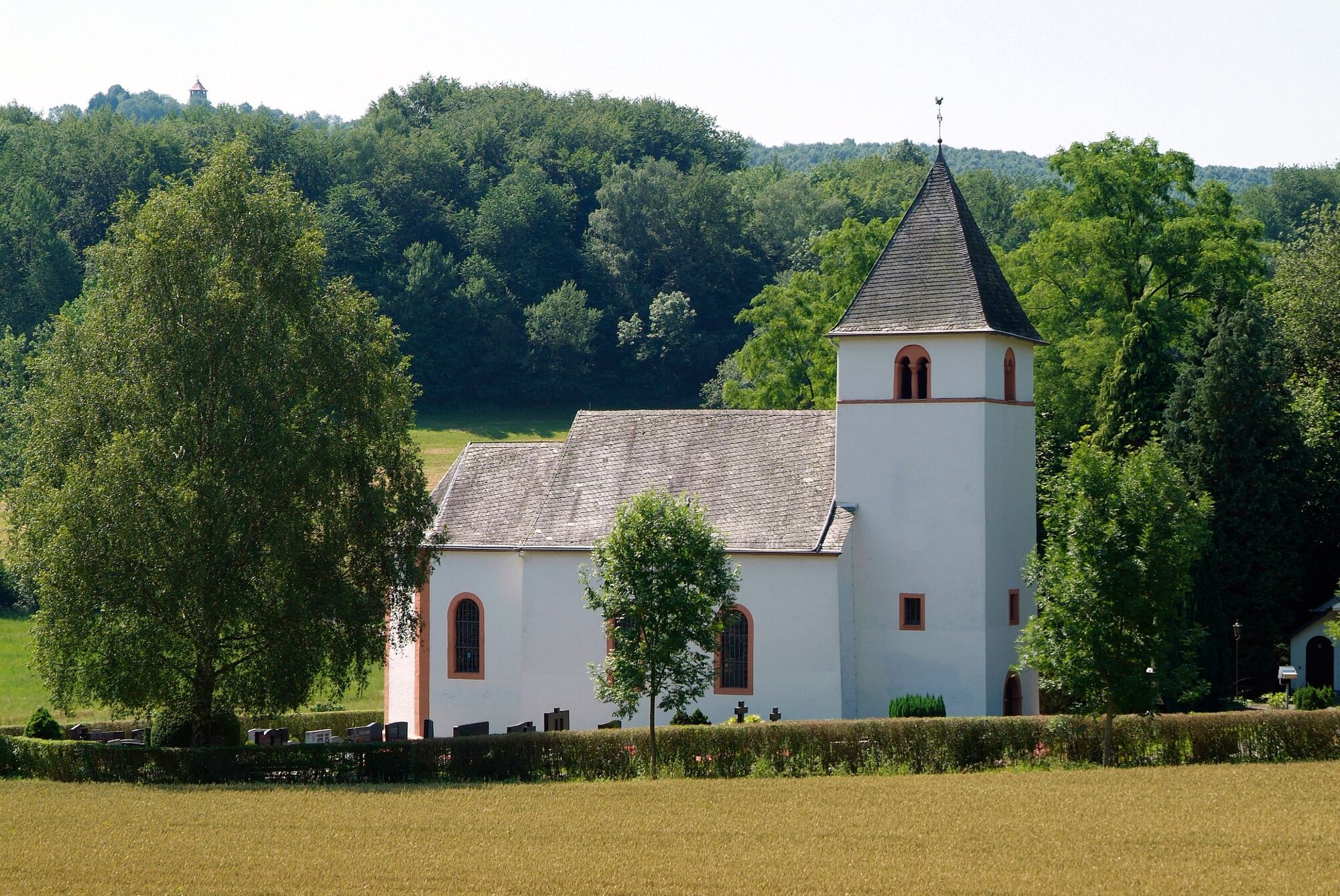
In Fisch, the trail turns east into the lovely Mannebach valley to the idyllically situated parish church of Litdorf-Rehlingen, which is dedicated to St James. Via the hamlet of Maklich, you reach Körrig, with the branch church of St Luke & St Arnold, and not far from the parish church of St Martin in Merzkirchen, another section of the former Roman road. From here, there is a wide panorama of the Upper Moselle, the Saar Valley and as far as Luxembourg and Lorraine.
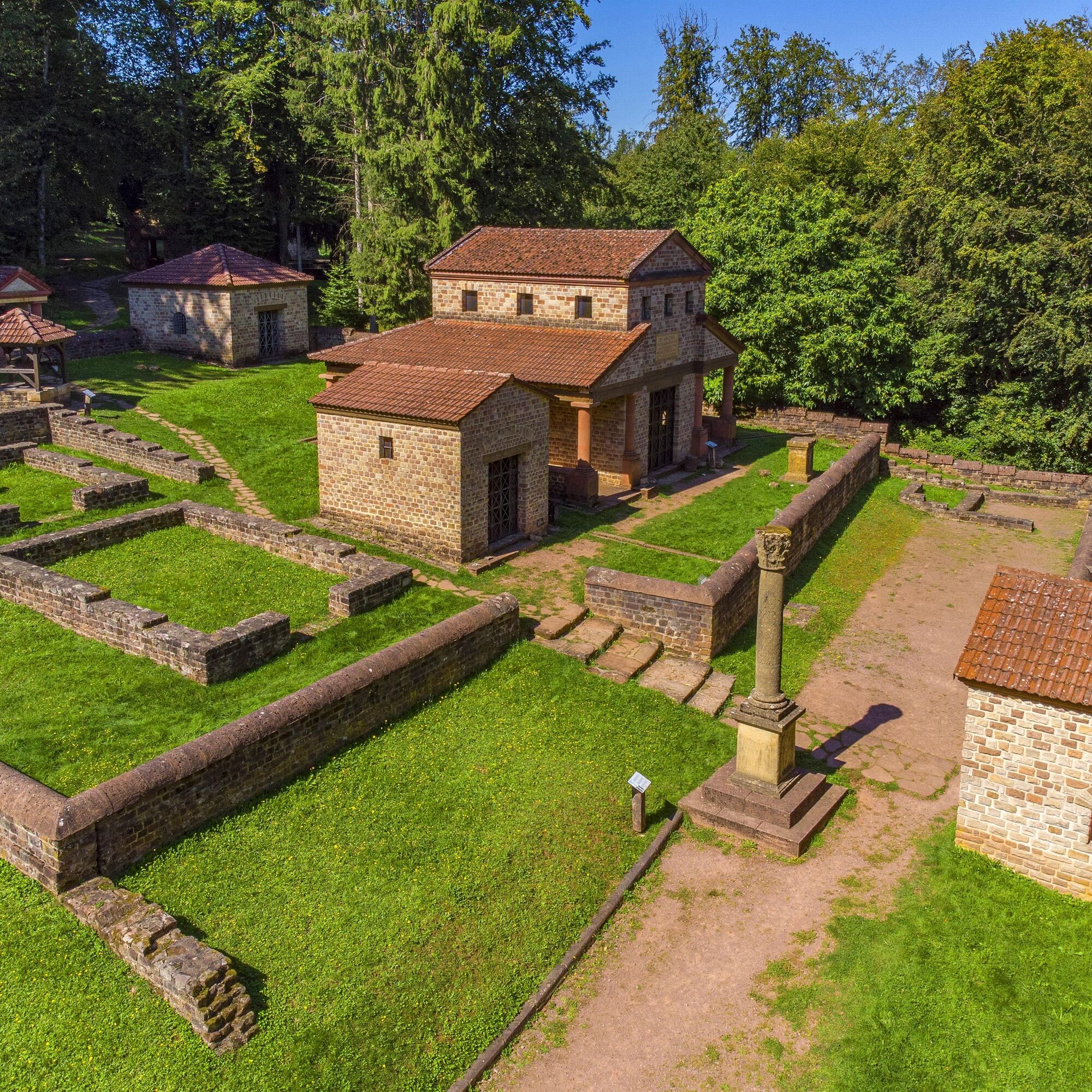
Past imposing wind turbines, the Way of St James runs along the ridge line of the Saargau above Meurich and Kirf at an altitude of 400 metres above sea level. At the peace memorial, the Way of St James crosses the B 406 and leads through Kampholz to Borg, where the Roman Villa Borg, another impressive reconstruction of Roman architecture and lifestyle, is located not far from the trail.
From Borg, the route continues past Pillinger Hof and through lovely vineyards down to the Upper Moselle. In the Saarland wine village of Perl in the border triangle of Germany, France and Luxembourg, our Way of St James leads to the parish church of St Gervasius & Protasius, which is adorned with a statue of St James. Now all that remains is the short walk over the Moselle bridge to Schengen in Luxembourg and you are already at the monument to the famous Schengen Agreement.
- Highest point
- 405 m
- Endpoint
-
Perl
- Height profile
-
 © outdooractive.com
 - Equipment
-
A fairly strenuous stage hike. Sturdy running shoes or light hiking boots are suitable. Backpack for provisions, sufficient sun and rain protection, and everything you need!
- Tips
-
The original cookery book by Marcus Gavius Apicius is published by Reclam Verlag, among others, in German and Latin. The "Cookbook of the Ancient Romans" from Patmos Verlag is more adapted to today's standards.
- Additional information
-
Saar-Obermosel-Touristik:
Saarburg Tourist Information Centre, Graf-Siegfried-Str. 32, 54439 Saarburg, phone 0049 6581-995980.
Konz Tourist Information Centre, Saarstr. 1, 54329 Konz, phone 0049 6501-6018040.
E-mail: info@saar-obermosel.de
Visit our website for exclusive tips and information about the Saar-Obermosel holiday region:
www.facebook.com/saarobermosel www.instagram.com/saarobermosel
www.youtube.com/saar-obermosel
Tourist Information Echternach
9-10, Parvis de la Basilique, L-6456 Echternach;
phone: 00352/720230
https://www.visitechternach.lu/de
touristinfo@visitechternach.lu
German-Luxembourgish Tourist Information
Moselstraße 1, 54308 Langsur-Wasserbilligerbrück;
phone: 0049 6501/602666
Trier Tourism and Marketing GmbH
Tourist Information Centre at the Porta, 54290 Trier,
phone: 0049 651/978080
Tourist Information Perl
Trierer Straße 28, 66706 Perl;
phone: 0049 6867/66101
- Public transportation


-

-
AuthorThe tour German-Luxembourgish Way of St James Echternach - Perl is used by outdooractive.com provided.


General info
-
Saar-Obermosel
504
-
Mertert / Wasserbillig
164


