© Visit Luxembourg - Vincent Frasiak

- Brief description
-
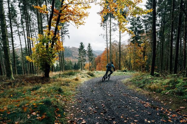
The varied terrain of the Éislek is a challenge for mountain bike lovers.
- Difficulty
-
medium
- Rating
-
- Starting point
-
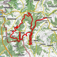
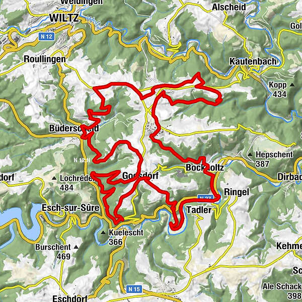
Goesdorf
- Route
-
Exaltation-de-la-Sainte-Croix0.2 kmGoesdorf0.3 kmHeiderscheidergrund2.1 kmGoesdorf7.8 kmBüderscheid (360 m)12.6 kmNocher-Route16.9 kmNocher18.8 kmNocher24.1 kmBrasserie-Restaurant Welter25.4 kmDahl25.6 kmBockholtz (319 m)29.1 kmSaint-Valentin29.2 kmToodlermillen30.7 kmTadler31.1 kmGoesdorf35.7 km
- Best season
-
JanFebMarAprMayJunJulAugSepOctNovDec
- Description
-
The 16 carefully signposted circuits with a total length of over 350 km lead through dense forests and deep valleys, past imposing castles and other sights. Some of the routes are suitable for the most demanding sportsmen, while others are ideal for family outings.
- Highest point
- 492 m
- Endpoint
-
Goesdorf
- Height profile
-
 © outdooractive.com
 - Additional information

- Author
-
The tour Mountainbike-Tour Goesdorf is used by outdooractive.com provided.
GPS Downloads


General info
Fauna
A lot of view
Other tours in the regions