© Engadin Samnaun Val Müstair - Stephanie Ulayayi

© Outdooractive – 3D Videos

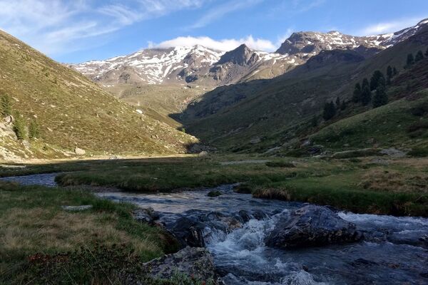
© Engadin Samnaun Val Müstair - Tourismus Engadin Scuol Samnaun Val Müstair AG

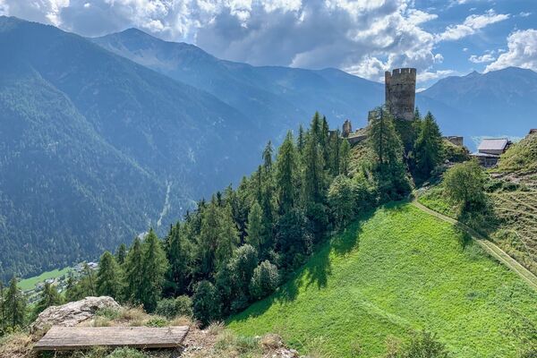
© Engadin Samnaun Val Müstair - Tourismus Engadin Scuol Samnaun Val Müstair AG

© Engadin Samnaun Val Müstair - Tourismus Engadin Scuol Samnaun Val Müstair AG

© Engadin Samnaun Val Müstair - Tourismus Engadin Scuol Samnaun Val Müstair AG

© Engadin Samnaun Val Müstair - Tourismus Engadin Scuol Samnaun Val Müstair AG

- Brief description
-
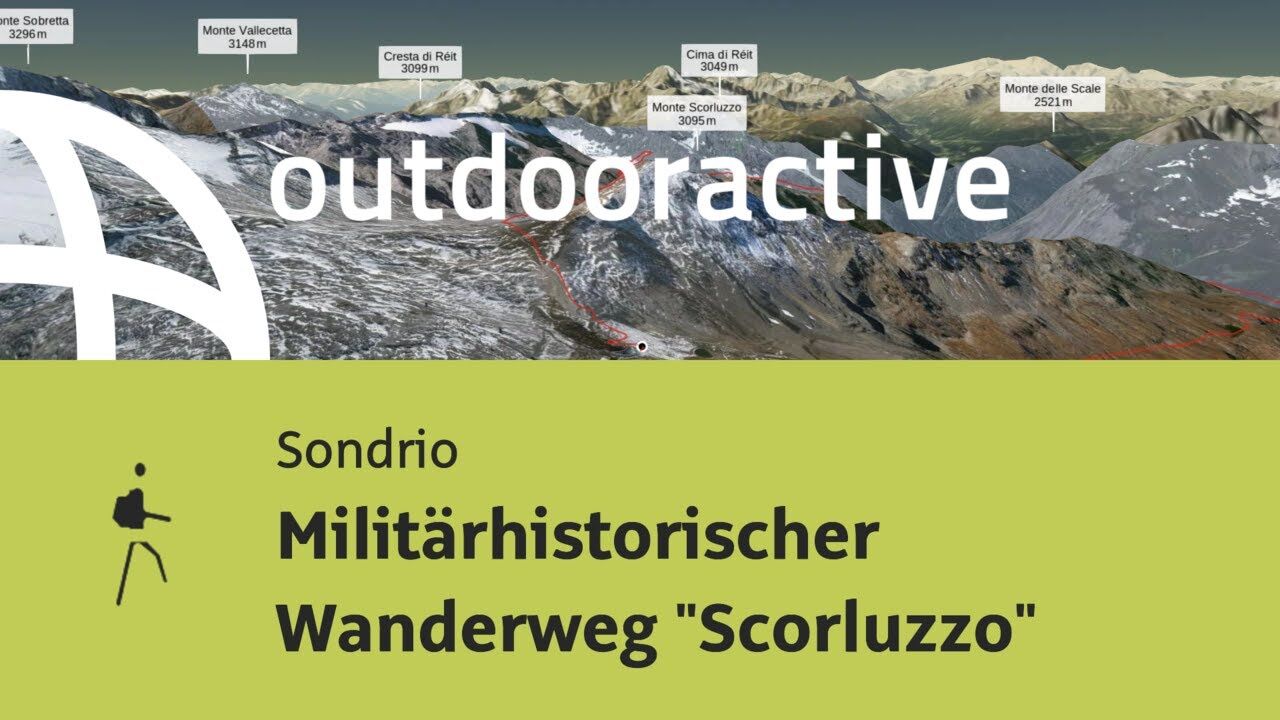
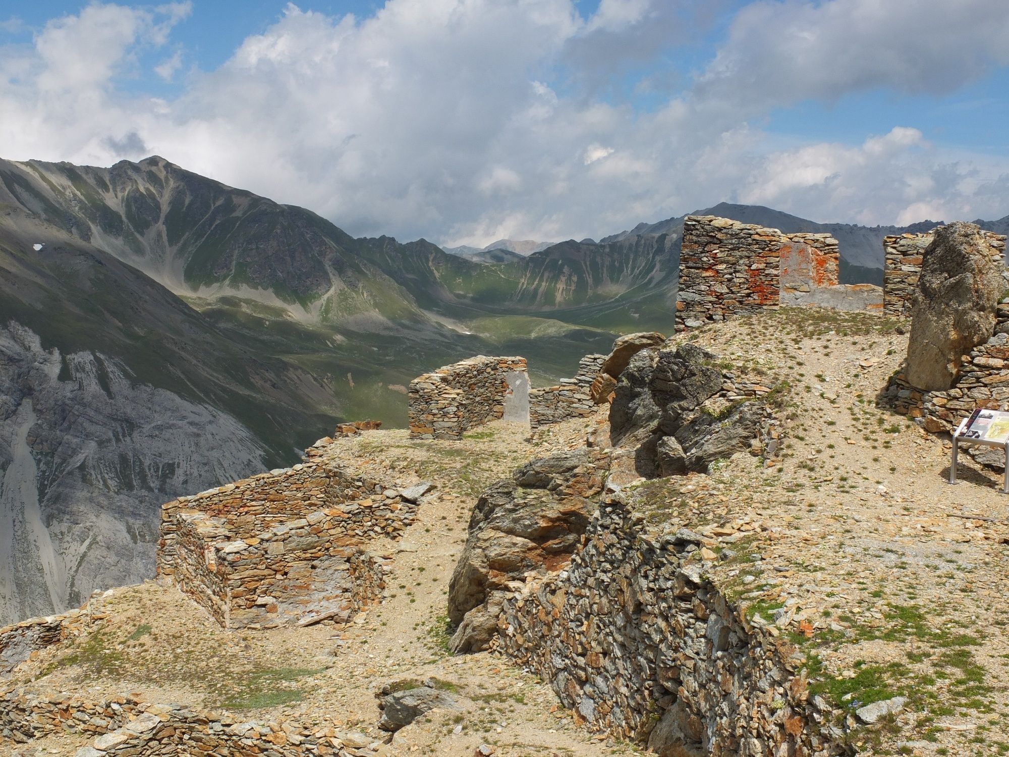
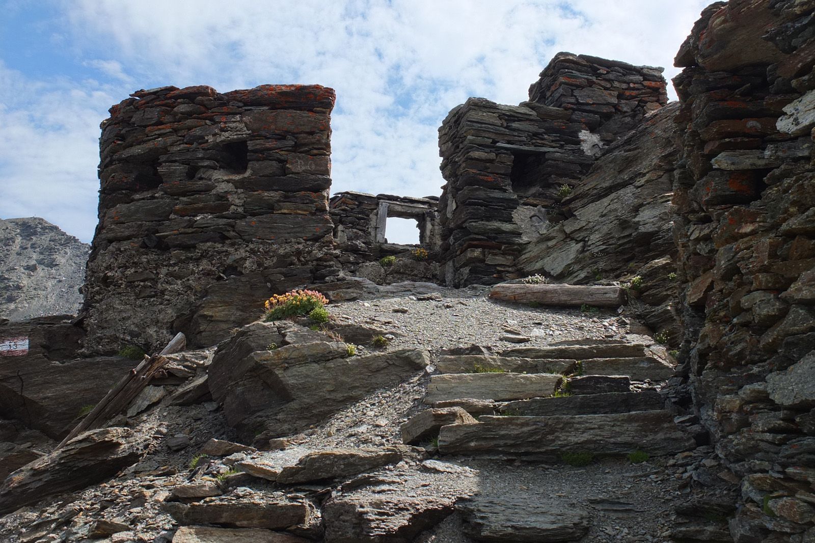
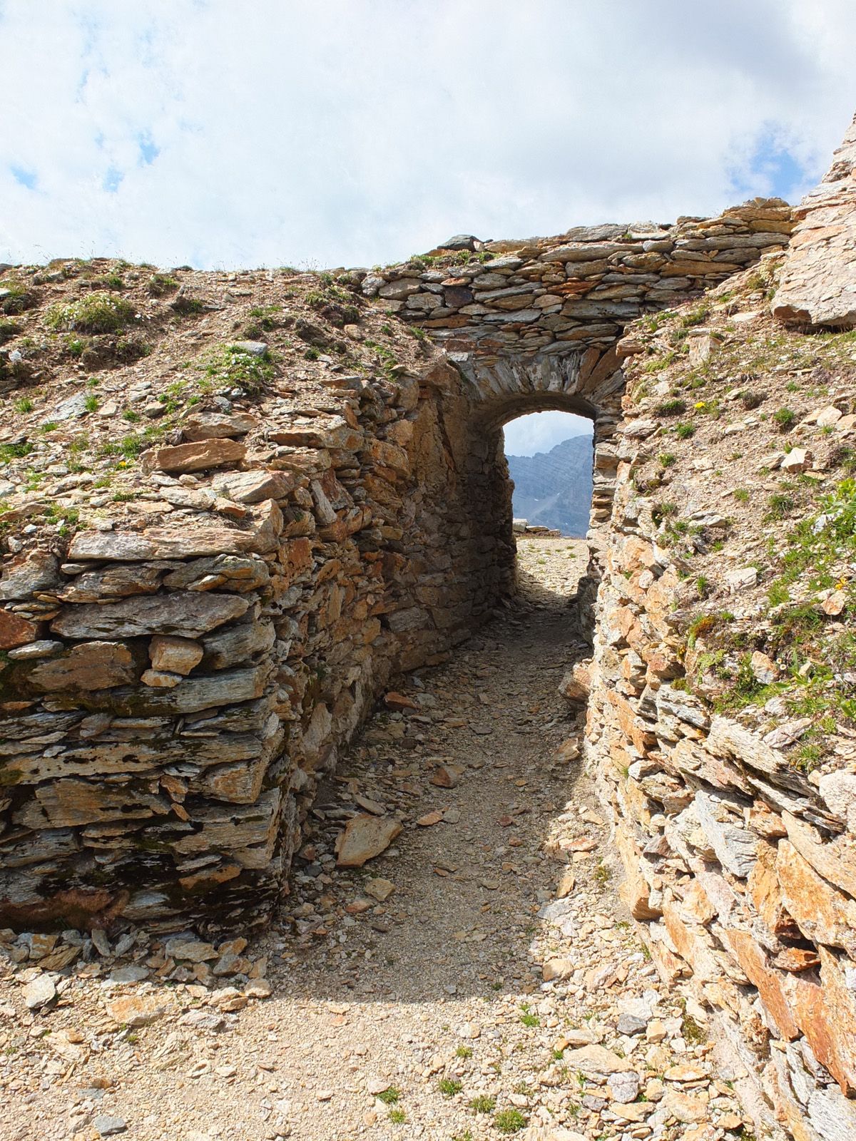
Der Weg beleuchtet die Geschichte der legendären Alpini während des 1.Weltkrieges entlang der Front in Fels und Eis. Entdecken Sie unseren Ferientipp Militärhistorischer Wanderweg.
- Difficulty
-
medium
- Rating
-
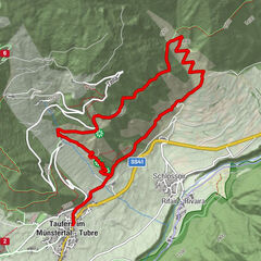
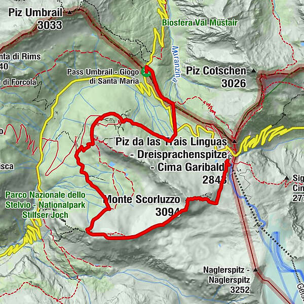
- Route
-
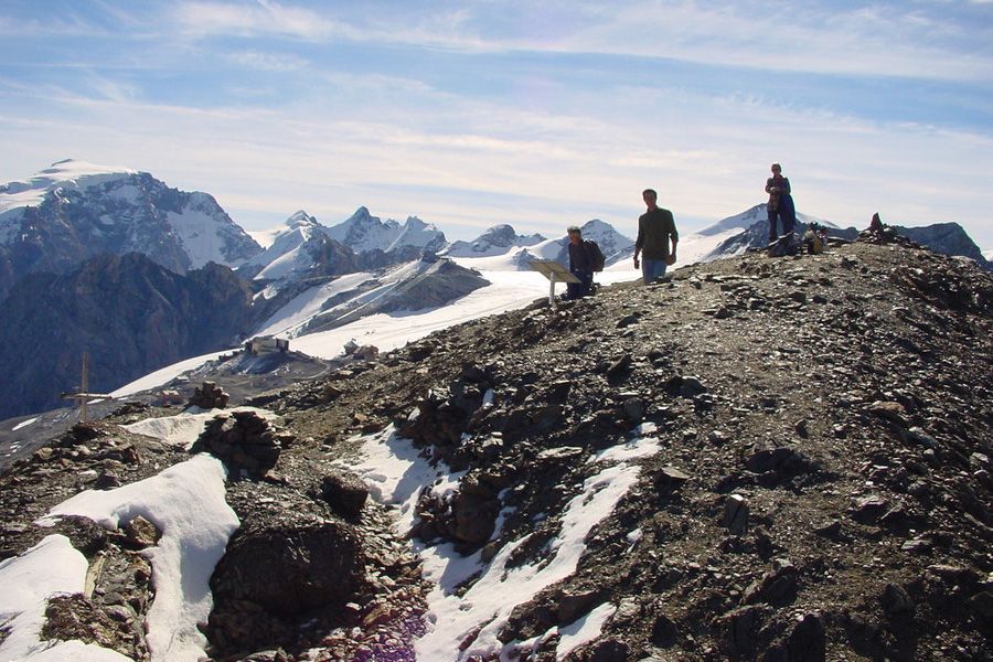
Monte Scorluzzo (3,094 m)1.4 kmPiano di Scorluzzo4.5 km
- Best season
-
JanFebMarAprMayJunJulAugSepOctNovDec
- Highest point
- 3,052 m
- Endpoint
-
PostAuto-Haltestelle Stilfserjoch/Stelvio oder Umbrail, Schweizer Zoll
- Height profile
-
 © outdooractive.com


- Author
-
The tour Militärhistorischer Wanderweg "Scorluzzo" is used by outdooractive.com provided.
GPS Downloads


General info
Refreshment stop
Cultural/Historical
Other tours in the regions
-
Vinschgau
1291
-
Alta Valtellina
526
-
Stilfserjoch
156