
- Brief description
-
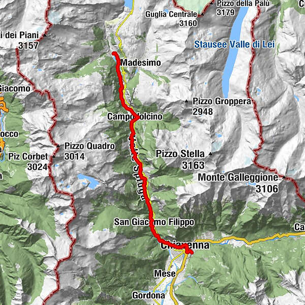
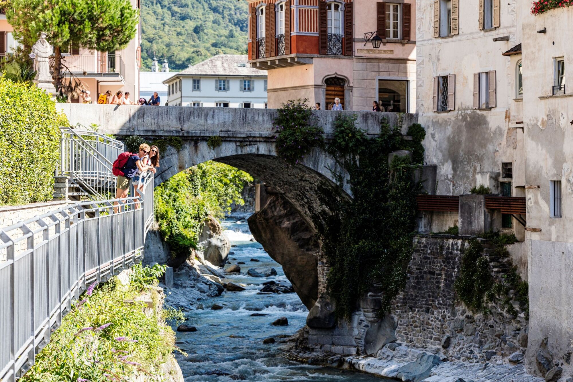
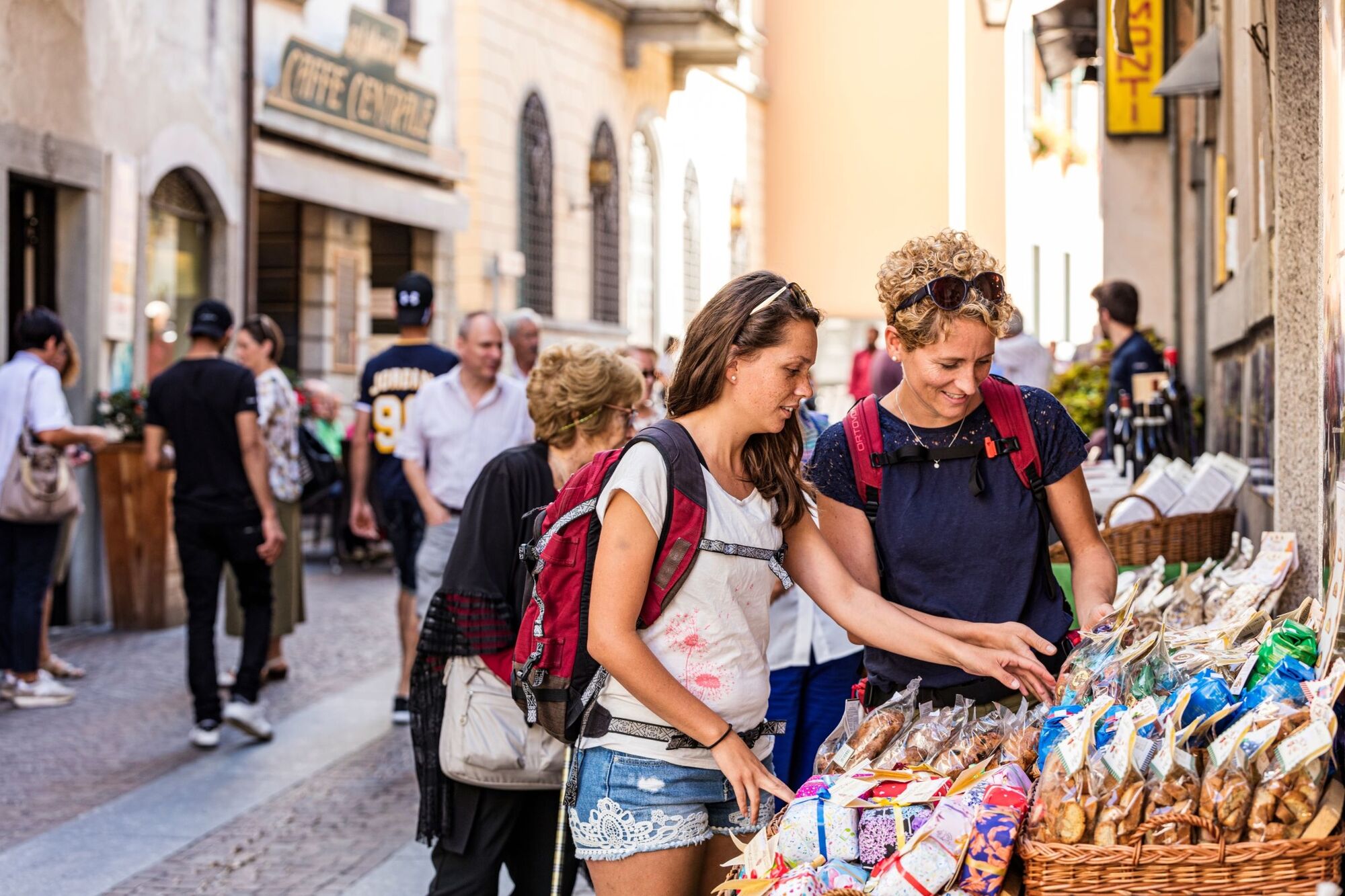
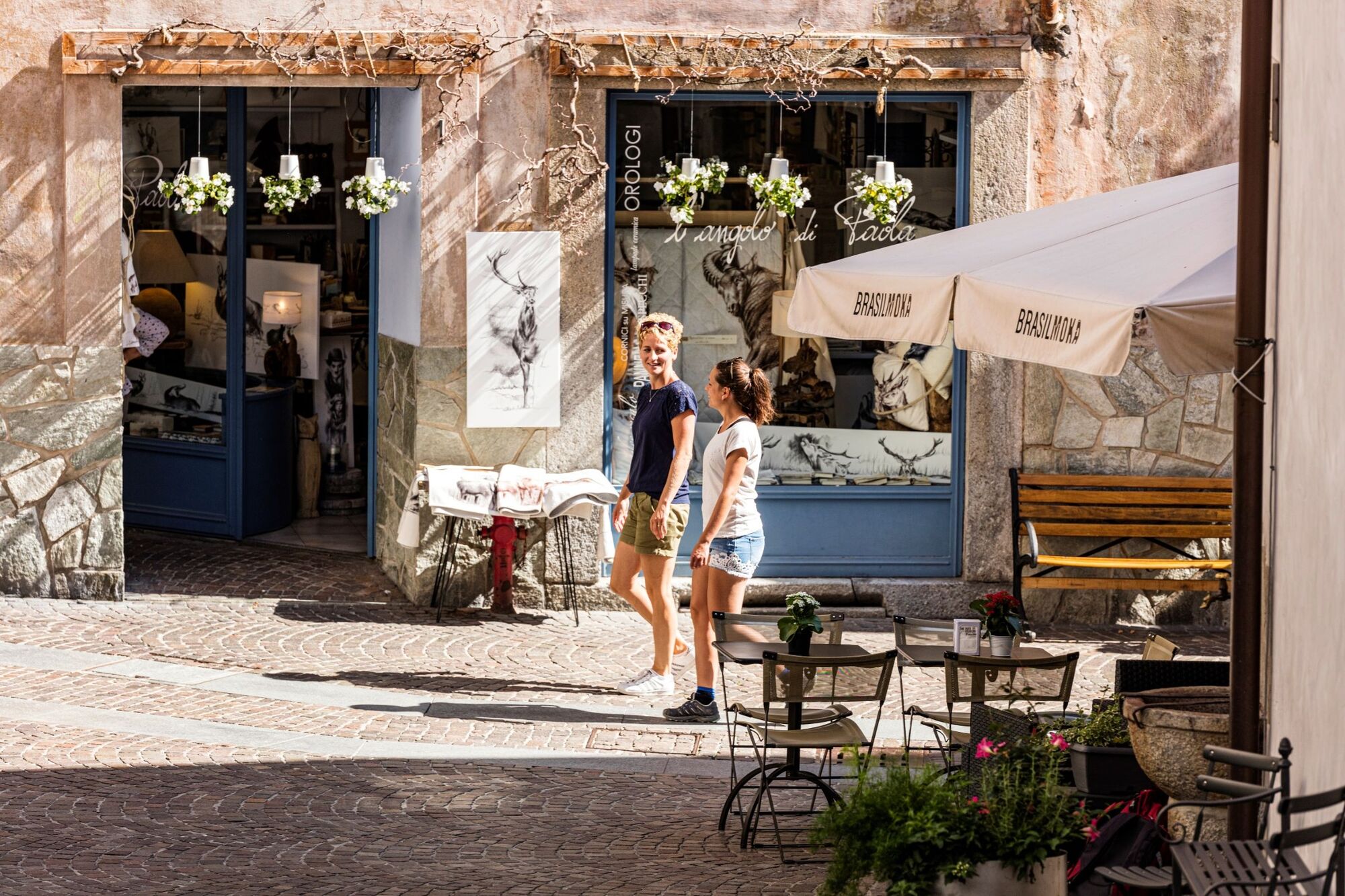
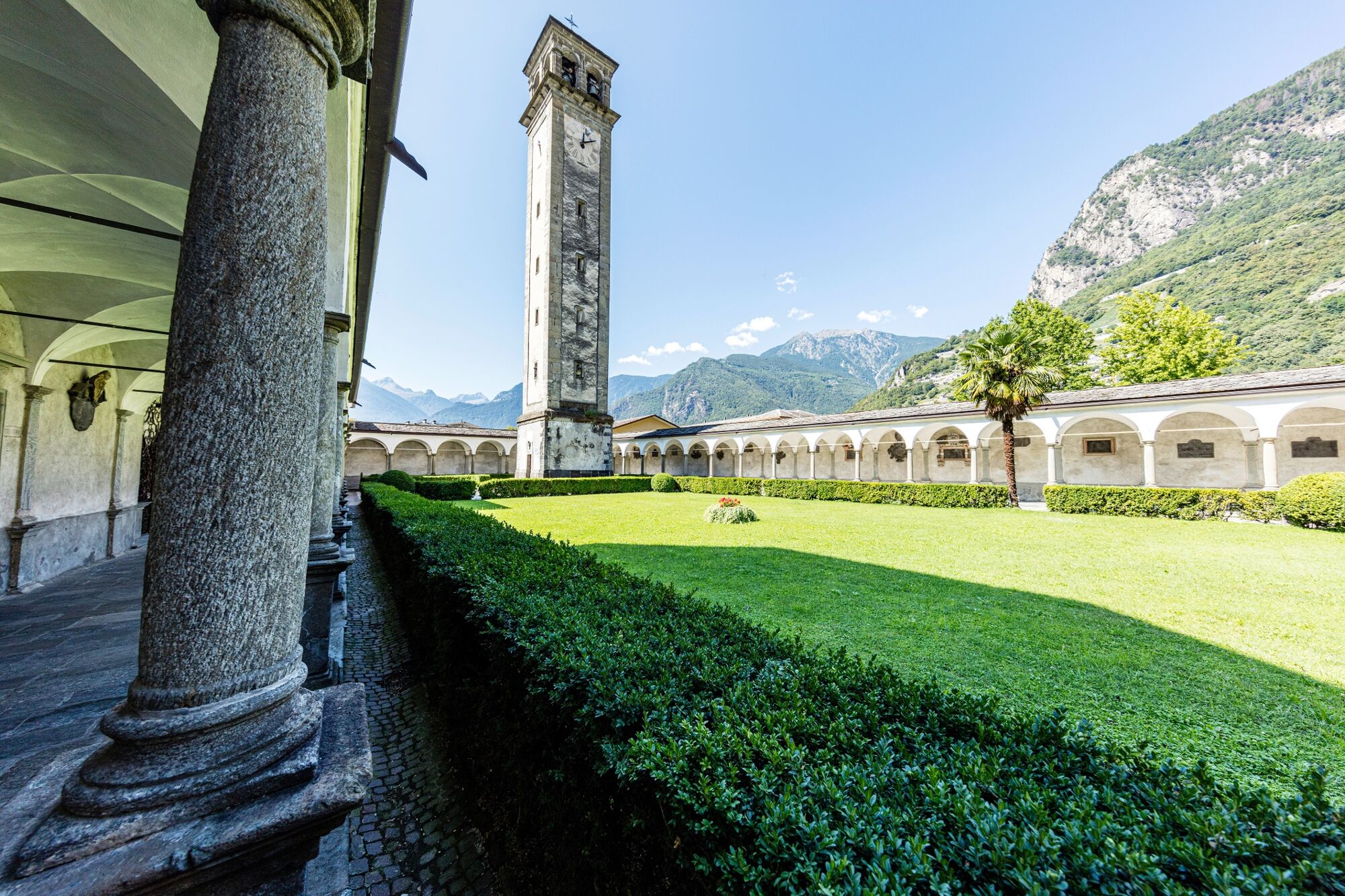
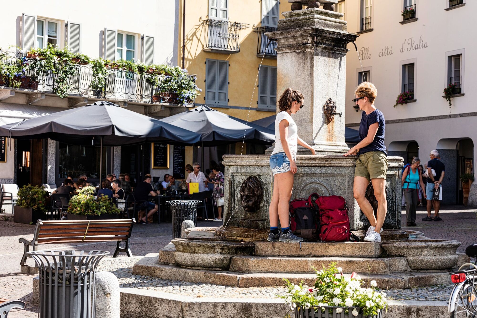
The fourth and final stage of the viaSpluga, the 65 km long classic cultural and long-distance hiking trail, takes you from Isola through the San Giacomo Valley to Chiavenna. The village of Chiavenna, which sits at the exit from the Val San Giacomo and Val Bregaglia valleys, was regarded as an important stopping-off point back in Roman times. It enchants visitors from all corners, exuding a charm more akin to the countries of the south.
- Difficulty
-
medium
- Rating
-
- Starting point
-
Isola, village
- Route
-
Isola (1,268 m)Ristorante - Pizzeria La Cantina4.9 kmCorti5.0 kmAcero5.2 kmCa de Val5.7 kmGampolschin5.7 kmChiesa parrocchiale di San Giovanni Battista5.7 kmTini6.3 kmPietra6.5 kmPortarezza6.9 kmPrestone (1,065 m)7.5 kmVho (924 m)8.8 kmCimaganda (915 m)9.9 kmLirone (852 m)10.4 kmGallivaggio (800 m)11.2 kmVallesegna11.4 kmOratorio di Sant’Antonio di Vallesegna11.4 kmVia Spluga waterfall13.5 kmMotta San Guglielmo (590 m)14.0 kmChiesa di San Guglielmo Eremita14.1 kmSan Giacomo Filippo (520 m)14.6 kmCrotti di Bette (460 m)16.9 kmGiavere di Sopra17.0 kmMonteno18.3 kmPrato Bazzi18.5 kmChiesa di San Bartolomeo18.7 kmOltremera18.7 kmCläven (333 m)18.7 kmCantòn18.7 kmChiesa di Santa Rosalia18.7 kmSanta Maria18.8 kmLadranio19.0 kmSaliceto19.0 km
- Best season
-
JanFebMarAprMayJunJulAugSepOctNovDec
- Description
-
The viaSpluga is a cultural and long-distance hiking trail in the central Alps which has linked the peoples ofthe German, Romansh, French and Italian-speaking regions, as well as the villages of Thusis and Chiavenna. The Via Spluga mainly follows historic mule tracks, whose original structures have largely beenpreserved or restored. The Via Spluga stretches for a total distance of about 65 km.
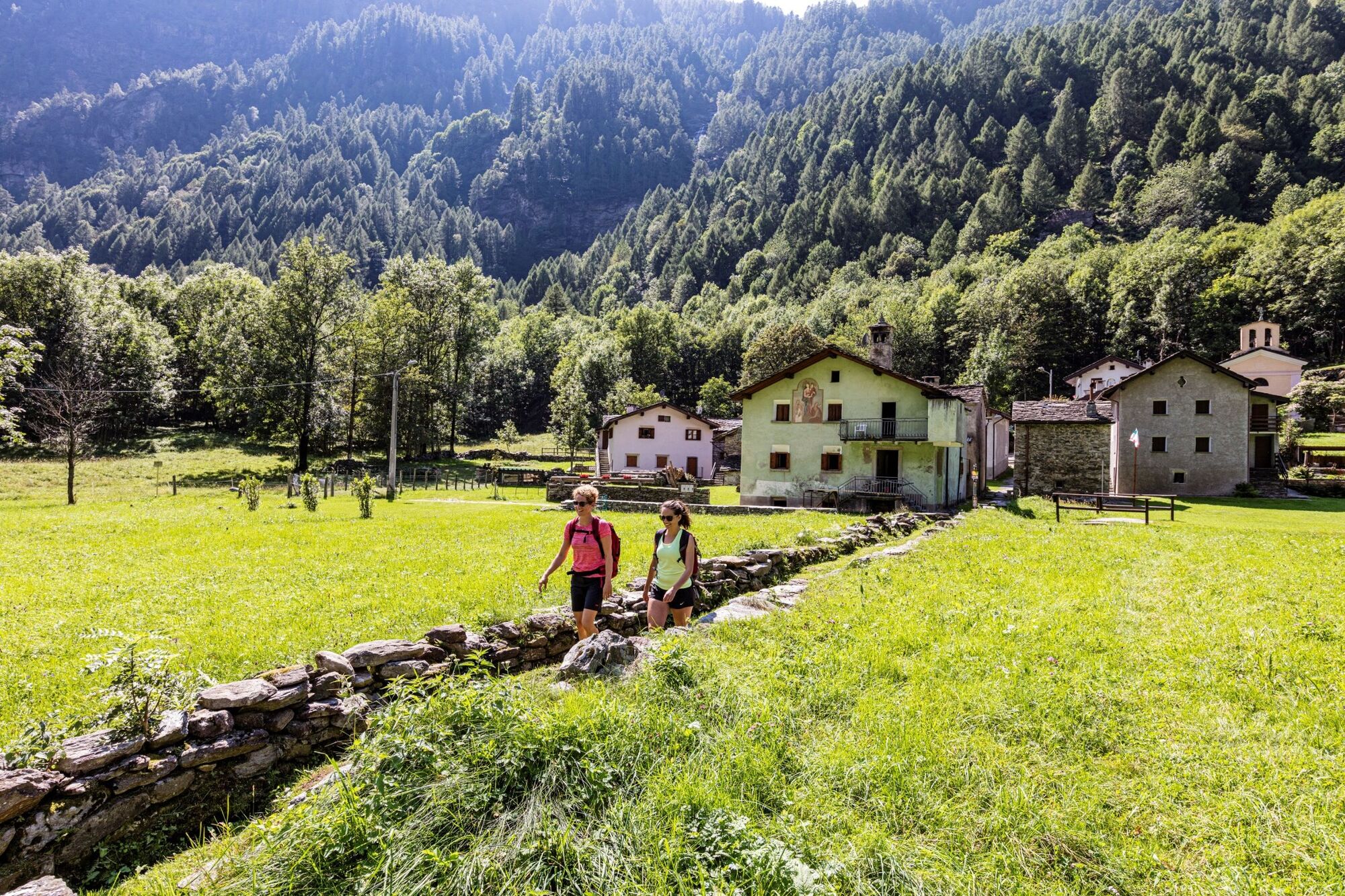
Stage 4 / Isola-Chiavenna: We descend into the valley in the direction of Portarezza-Campodolcino. You will want to stop and linger at the small plain in the middle of the steep mountain valley. The two pilgrimage churches, San Guglielmo and Santuario di Gallivaggio, remind us that the Splügen Pass was more than just a trading route, it was also well trodden by pilgrims. The viaSpluga trail reaches its conclusion in the village of Chiavenna. Back in Roman times, Chiavenna was an important stopping-off point on the routes from Italy over the Alps. (Splügen, Septimer, Maloja and Julier) Sights worth visiting in Chiavenna include the "centro storico", with its cobbled alleys, walkways and squares, stone bridges and fountains, churches, chapels and stately town houses. And if you've had enough of walking, th wines from the neighbouring Valtellina taste particularly good in the many crotti and trattorie.
- Directions
-
The viaSpluga is marked throughout from Thusis to Chiavenna as regional hiking trail No. 50, as well as with brown viaSpluga signposts.
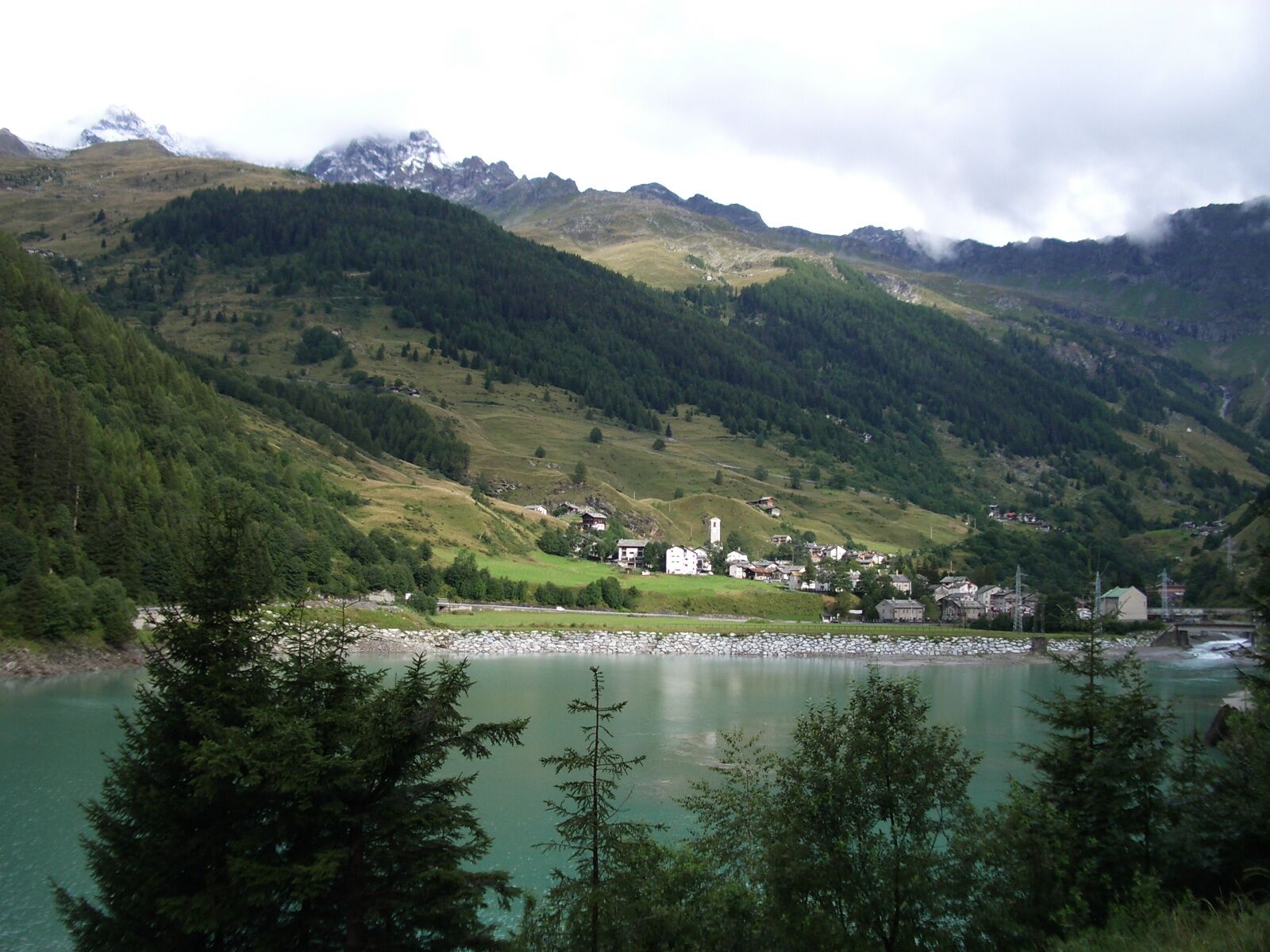
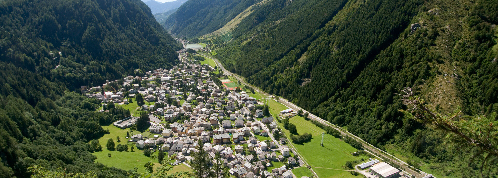
Stage 4: Isola-Chiavenna: Following the course of the Liro through the shady chestnut forests of the San Giacomo Valley into Chiavenna with its air of southern charm. Leaving Isola, a country track runs along the left-hand side of the balancing reservoir to the dam wall. There is a rather steep descent down to the Liro. Keep to the left at all times until you get to the Ponte Granda Rossa. Continue along the right bank of the river, past Campodolcino (we recommend that you visit the viaSpluga Museum) and the balancing reservoir in Prestone and through one of the first large deciduous forests to the hamlet of Vho. After the plain in Vho, cross the Liro and switch river bank for a short time until Cimagangda. From here, the route continues along the right bank of the river as far as San GiacomoFilippo. Cross through the village of San Giacomo Filippo and, at the upper end of the village, rejoin the trail which rises once again to the end. Now take the high route from here via Bette to Chiavenna. The last section affords beautiful views of the town.
- Highest point
- 1,253 m
- Endpoint
-
Chiavenna, town centre
- Height profile
-
 © outdooractive.com
 - Equipment
-
Appropriate, weather-proof equipment is strongly recommended.
- Safety instructions
-
The viaSpluga is a mountain hiking trail. You need to be sure-footed and have a good head for heights (bridges, Cardinello Gorge) along some sections.
- Tips
-
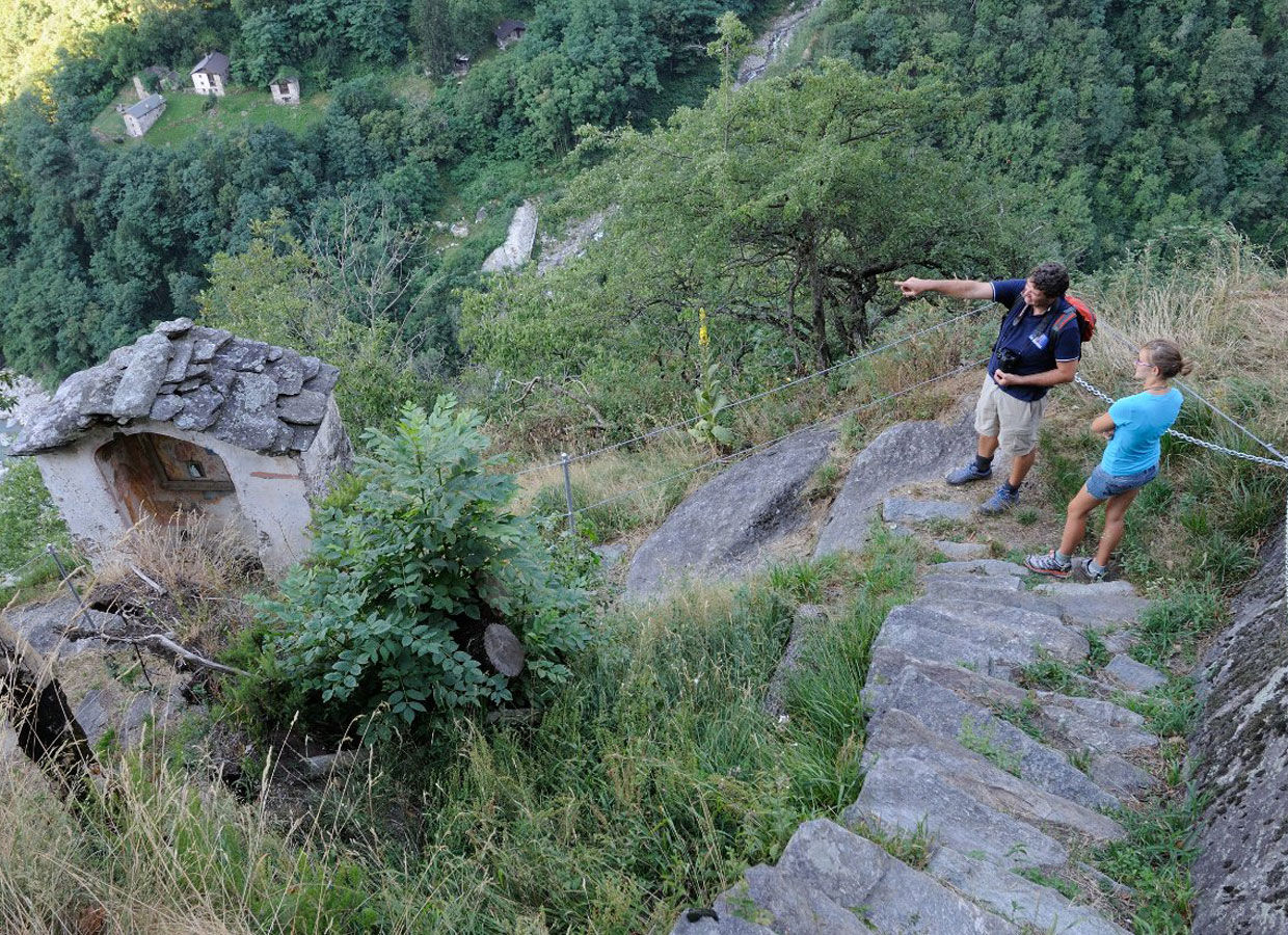
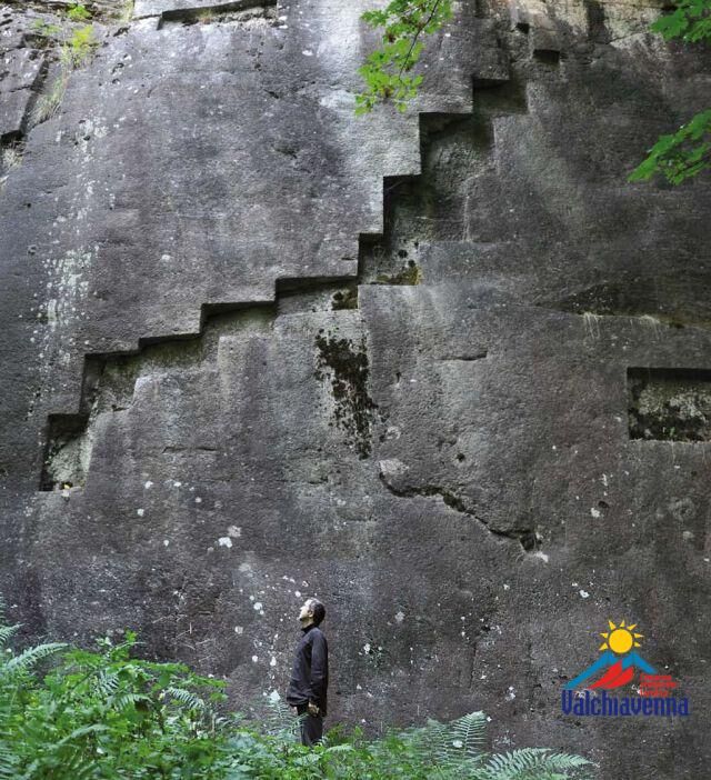
It is worth making a detour to the Museo della viaSpluga e della Val San Giacomo in Campodolcino, which documents the history of the valley and of the transit route. The rocky slopes of the hamlet of Vho contain the so-called "Scribaìta" - an 8 x 12.5 metre gneiss slab with puzzling, rectangular, step-like recesses (Attention! It is not signposted). The pilgrimage church of Gallivaggio with the highest church tower in the valley is visible from far and wide. The Virgin Mary is said to have appeared to two girls at this place in 1492. The historic centre of Chiavenna, with its characteristic narrow alleys, exudes an enchanting southern charm.
- Additional information
-
Viamala Visitor Information
Bodenplatz
7435 Splügen
Tel. +41 (0)81 650 90 30
info@viamala.ch
www.viamala.ch - Directions
-
Southbound on the A13/E43, in the direction of San Bernardino, "Splügen/Splügenpass" exit, via the Splügen-Pass road to Isola.
Northbound to Chiavenna and the Splügen-Pass road to Isola. - Public transportation
-
Southbound by Rhaetian Railway to Thusis and by postbus to Splügen. Then by Italian bus over the Splügen Pass to Isola (Italy), Paese.
Northbound by rail to Bellinzona and by postbus to Splügen, Post Office. Then by Italian bus to Isola (Italy).
www.postauto.ch (Switzerland)
www.stps.it (Italy) - Parking
-
Isola: there is a public car park to the rear of the village: Via alla Piota.


- Author
-
The tour 50.04 Isola (I) - Chiavenna (I), ViaSpluga is used by outdooractive.com provided.


General info
-
Comer See
754
-
Valchiavenna
209
-
Campodolcino
40