- Brief description
-
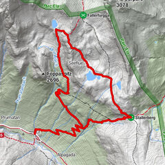
Beautiful hike that leads from Chiavenna to the village of Uschione and can be extended to a round trip to Lago del Grillo.
- Difficulty
-
medium
- Rating
-
- Route
-
Cläven (333 m)Deserto0.0 kmBelvedere0.1 kmUschione (832 m)1.3 kmNesossi1.5 kmZarucchi1.6 kmAlpe Tecciali3.5 kmMottaccio6.2 kmPesceda (1,313 m)9.1 kmAlpe Quarantapan9.6 kmZarucchi11.0 kmNesossi11.0 kmUschione (832 m)11.2 kmBelvedere12.4 kmDeserto12.6 kmCläven (333 m)12.6 km
- Best season
-
JanFebMarAprMayJunJulAugSepOctNovDec
- Description
-
Until the 1950s, Uschione was inhabited all year round. We reach the village on a beautiful mule track and many steps starting from Chiavenna railway station. From here we climb to the magnificent Pizzo Damino viewpoint.For well-trained mountaineers we continue to Laghetto del Grillo. The path to the hidden lake leads past many alpine huts and sunny panoramic viewpoints, which reward us for the demanding ascent.
- Directions
-
From the railway station we go to the Pratogiano district - Crotti zone - where we take Via Deserto, which leads to the Don Guanella Institute; next to the entrance gate of this building, the staircase mule track begins. Climbing the beautiful stairs, we soon reach the first panoramic terrace with a splendid view of Chiavenna.
We continue climbing up to the ridge where the village of Uschione (832 m) is located.The route to Pizzo Damino starts at the houses on the southern edge of the village, we go over the slope and in serpentines up the forest. Only at Alp Damino do we emerge from the forest again (1320 m), where the view of Val Schiesone and the large north face of Pizzo di Prata opens up. For the ascent to Pizzo Damino, we simply follow the path that leads to the large rocky peak with the unmistakable summit cross. A path leads to the rocky slabs, which are easy to climb over, to the summit (1350 m) with great views of the town of Chiavenna directly below.
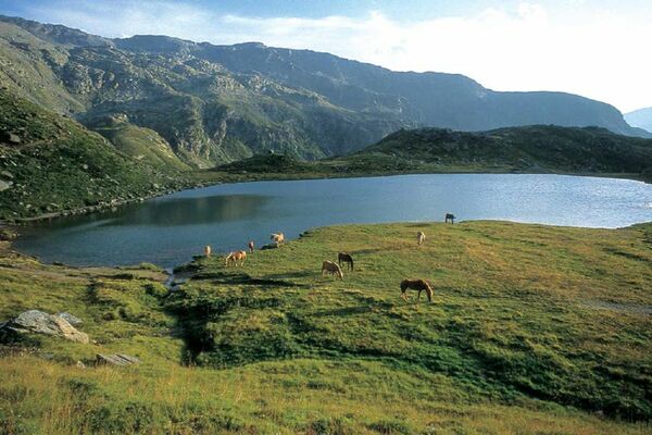
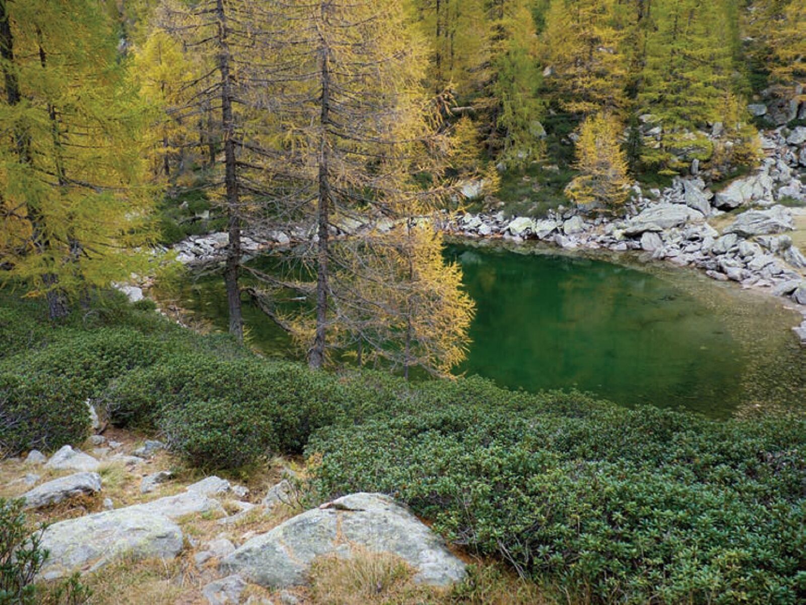
Back on the meadows of the alp, we can either shorten towards Pesceda and make our way down there, or continue up to Lago del Grillo. In doing so, we follow the path, which is not so visible in parts, that goes along the ridge and then up, passing some open spaces. We pass the huts of Alpe Tecciali (1575 m) and then turn to the right side of the rocky outcrop (towards the south). On the now well-marked path, we climb a last steep stretch until we reach the terrace with the huts of Alpe Mottaccio (1929 m). The small lake Lago del Grillo (2000 m) is a little further on, we reach it via the nearby ridge; an easy descent leads to this small lake surrounded by larches. Unfortunately, it can happen that it dries up in summer.The descent can be made directly in the valley below (towards the north). Follow the path along the rather steep slope to the Scarlanzoo hut (1703 m) and continue down through the forest to the clearing of Prato del Conte (1434 m). Cross green terraces to Pesceda (1313 m) and continue downhill to Uschione and Chiavenna.
- Highest point
- 1,986 m
- Endpoint
-
Chiavenna
- Height profile
-
 © outdooractive.com
- Author
-
The tour Uschione - Pizzo Damino - Lago del Grillo is used by outdooractive.com provided.


-
Comer See
766
-
Valchiavenna
214
-
Piuro
34