© Engadin Tourismus AG - Valmalenco


- Brief description
-
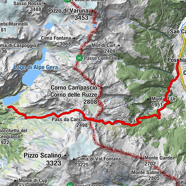
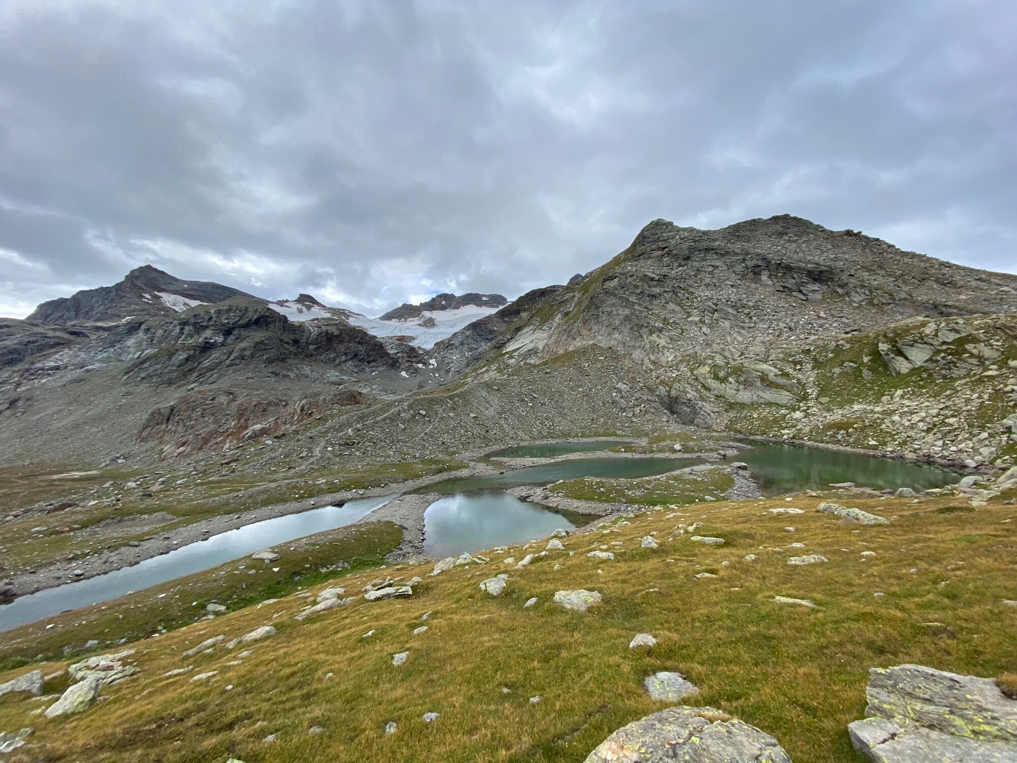
Past lovely mountain lakes and over the Passo Canciano steeply down to Poschiavo.
- Difficulty
-
difficult
- Rating
-
- Starting point
-
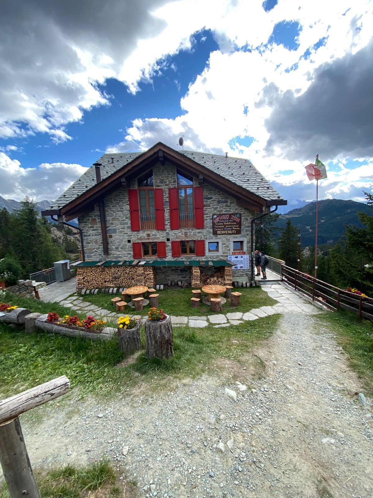
Campomoro
- Route
-
Piano di Campagneda2.2 kmPass da Cancian (2,498 m)6.0 kmPoschiavo (1,014 m)15.8 km
- Best season
-
JanFebMarAprMayJunJulAugSepOctNovDec
- Description
-
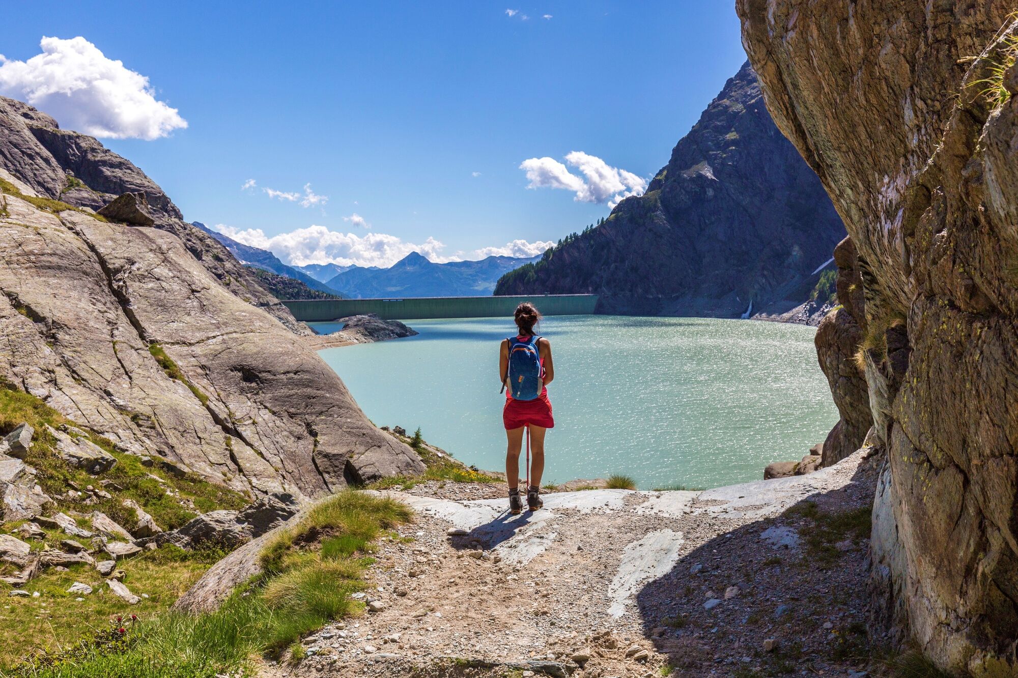
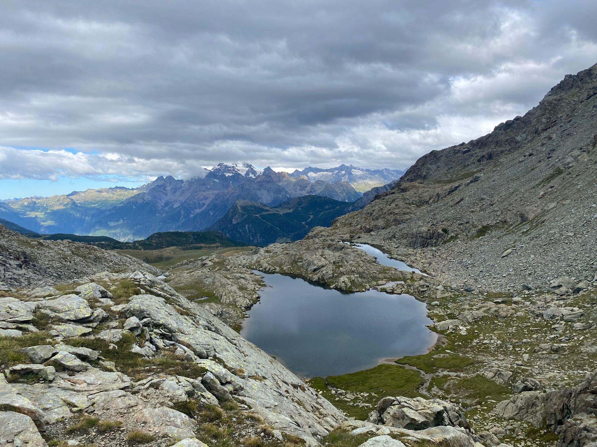
The last stage of the Bernina-Tour leads a short stretch on the Alta Via della Valmalenco and past the lovely Laghi di Campagneda to the Passo Canciano. The view down into Val Poschiavo opens up on the pass. Now you descend good 1400 metres in altitude to the starting point of the Bernina-Tour to Poschiavo.
More information
Engadin Tourismus AG
Via Maistra 1
CH-7500 St. Moritz
Phone: +41 81 830 00 01
E-mail: allegra@engadin.ch
Internet: www.engadin.ch - Directions
-
Campomoro - Alpe Campagneda - Passo Canciano - Quadrada - Selva - Poschiavo
- Highest point
- 2,614 m
- Endpoint
-
Poschiavo
- Height profile
-
 © outdooractive.com

- Author
-
The tour 53 Bernina-Tour: Stage 9 Rif. Zoia-Poschiavo is used by outdooractive.com provided.
GPS Downloads


General info
A lot of view
Other tours in the regions
-
Veltlin / Valtellina
851
-
Puschlav / Valposchiavo
639
-
Puschlav
137


.")