

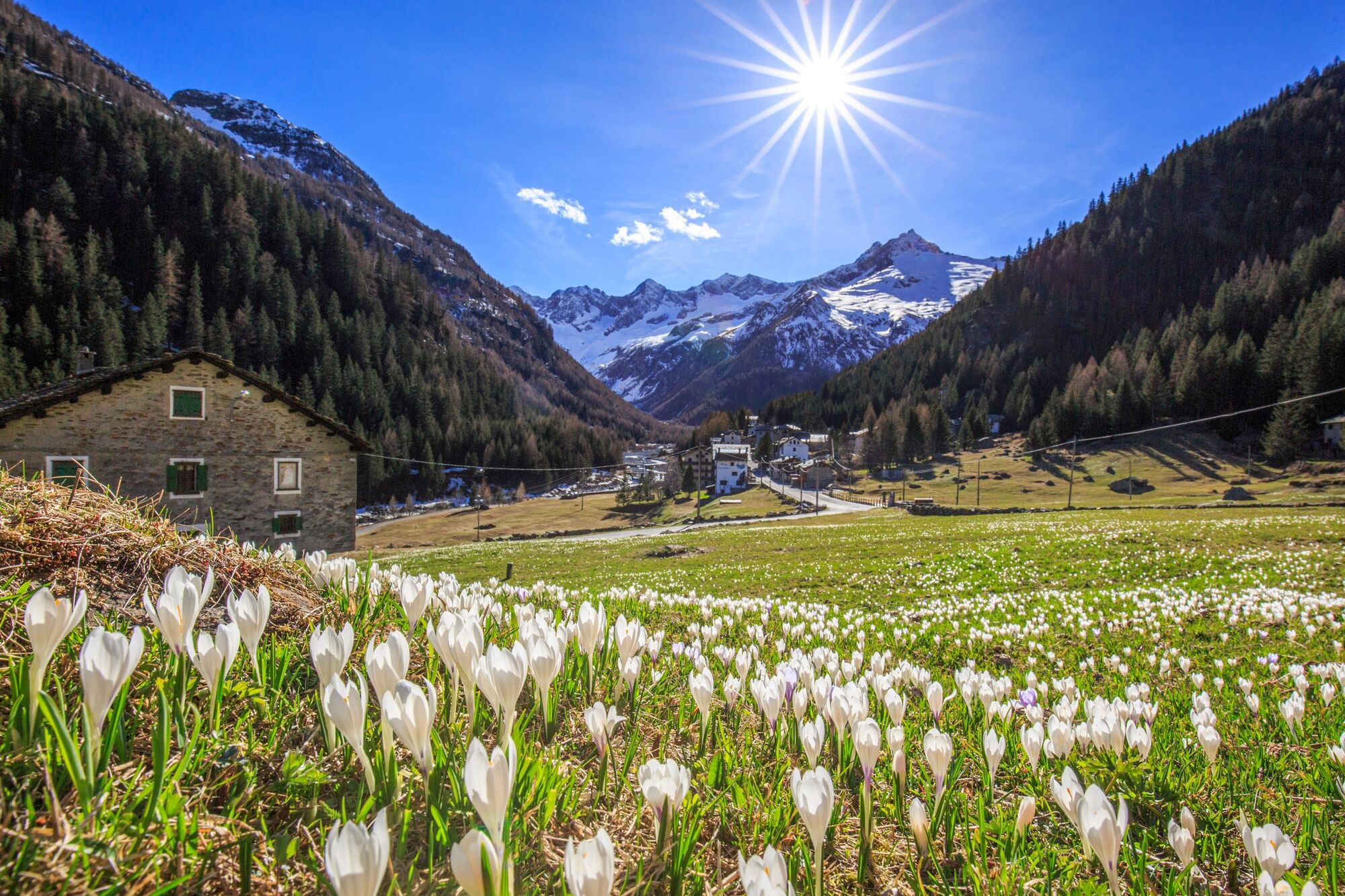
© Engadin Tourismus AG - Valmalenco

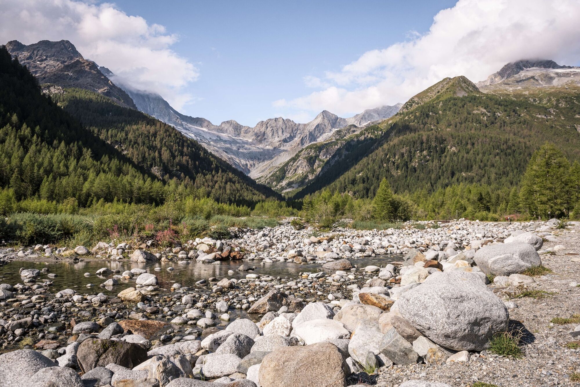
© Engadin Tourismus AG - Romy Robst


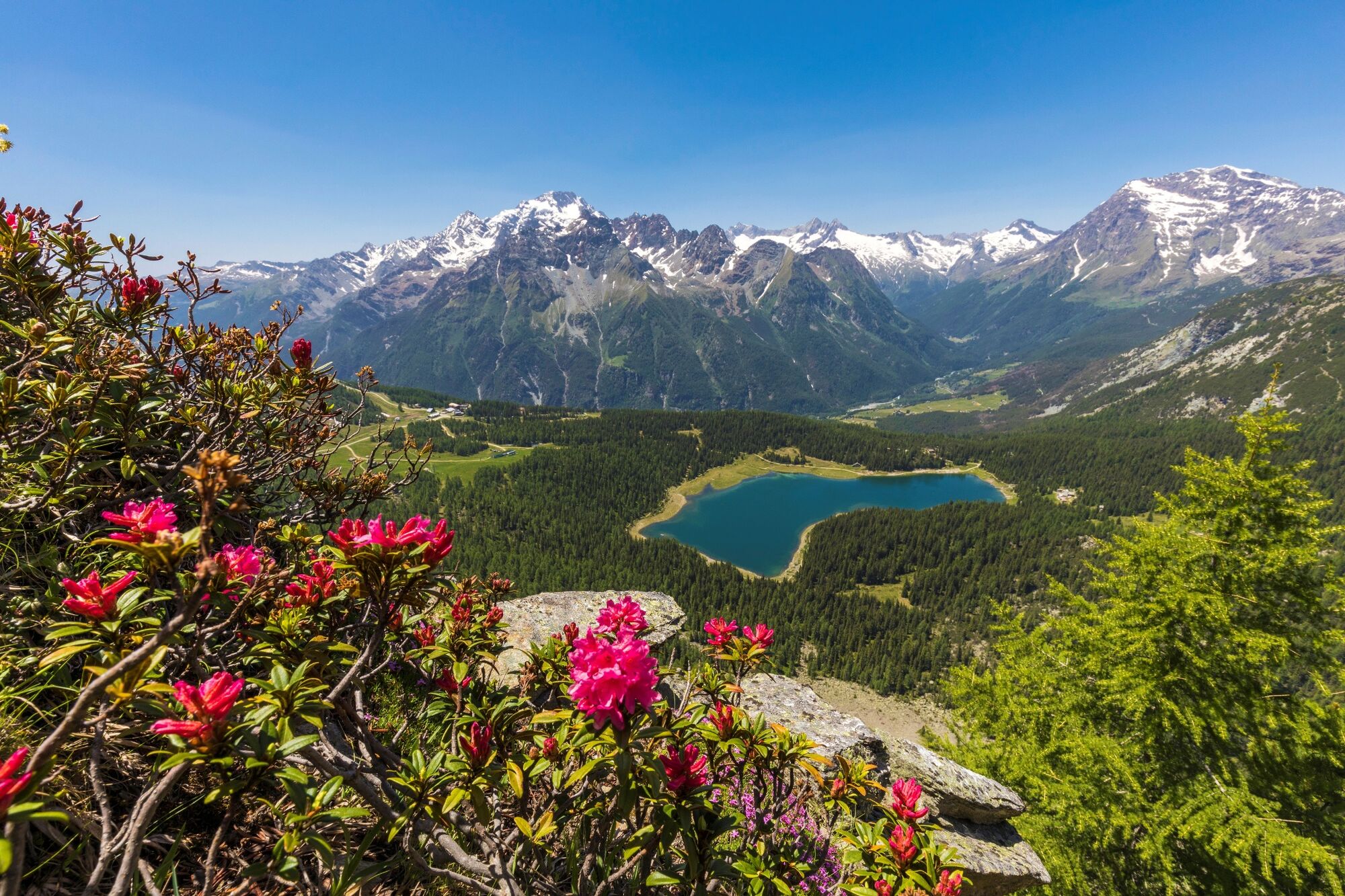
© Engadin Tourismus AG - Valmalenco

© Engadin Tourismus AG - Valmalenco


- Brief description
-
Through forests and across fragrant meadows.
- Difficulty
-
medium
- Rating
-
- Starting point
-
Chiareggio
- Route
-
Ai PortoniChiareggioCiaz1.5 kmAlpe Senevedo Superiore2.1 kmPalo Lungo (1,650 m)2.9 kmBraciascia5.2 kmBarchetto (1,800 m)6.8 kmLa Zocca (1,844 m)7.1 kmRifugio Lago Palù8.1 km
- Best season
-
JanFebMarAprMayJunJulAugSepOctNovDec
- Description
-
First along the road and then the trail turns left into the forest. The trail leads through forests and across alpine pastures up to Lago Palù.
More information
Engadin Tourismus AG
Via Maistra 1
CH-7500 St. Moritz
Phone: +41 81 830 00 01
E-mail: allegra@engadin.ch
Internet: www.engadin.ch - Directions
-
Chiareggio - Palulungo - La Zocca - Lago Palù
- Highest point
- 1,946 m
- Endpoint
-
Lago Palù
- Height profile
-
 © outdooractive.com
 - Tips
-
There is also a chairlift from Prati Venzuoli up to the lake.


- Author
-
The tour 53 Bernina-Tour: Stage 7 Chiareggio-Lago Palù is used by outdooractive.com provided.
GPS Downloads


Other tours in the regions
-
Veltlin / Valtellina
852
-
Sondrio Valmalenco
395
-
Caspoggio
88


