


- Brief description
-
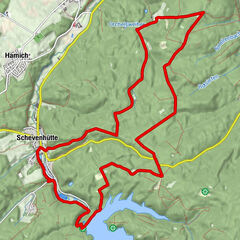
This is a route entirely on the east of South Limburg, close to the German border. This border route will surprise you, thanks to glorious countryside and some unique sights that are on the programme during the trip.
- Difficulty
-
medium
- Rating
-
- Starting point
-
Kerkveldweg 1, 6374 LE Landgraaf
- Route
-
WarderkapelRimburg1.3 kmÜbach-Palenberg (110 m)1.6 kmDrievuldigheidskerk1.7 kmBroichhausen2.6 kmWarderkapel3.5 kmLandgraaf3.8 km
- Best season
-
JanFebMarAprMayJunJulAugSepOctNovDec
- Description
-
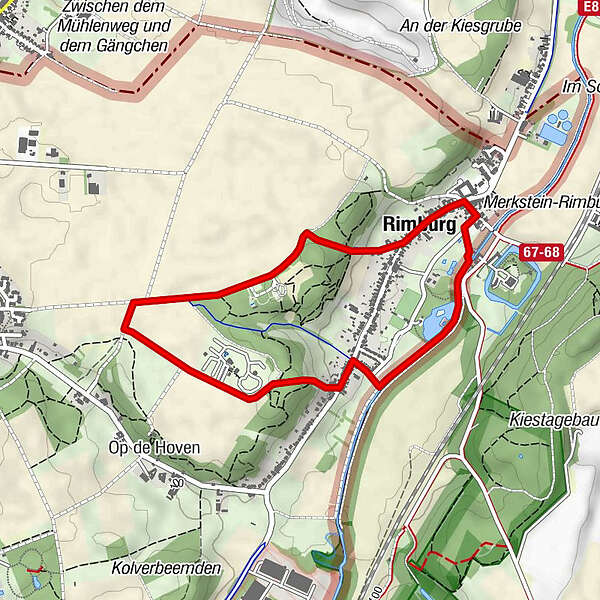
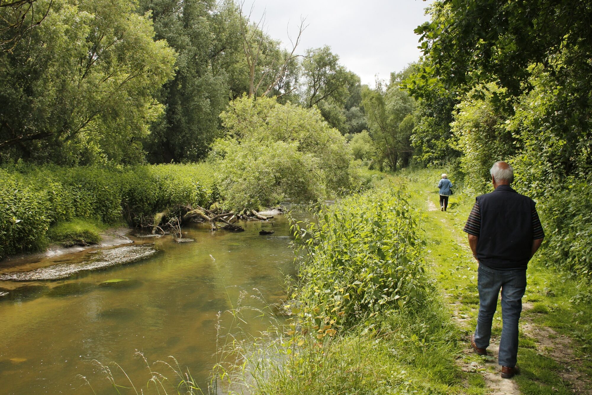
This short walking route in the municipality of Landgraaf takes you from Waubach to the German border at Rimburg. Anyone who walks through Rimburg soon forgets the time and their busy lives. The old village owes its name to Rimburg Castle, situated just across the German border. However, during this route you will stay in the Netherlands, where you will encounter De Watertoren campsite and the Ipomal gallery. You start off from De Watertoren campsite, where you can also get a cup of coffee and park your car. The route is signposted by red posts.
If you have any comments about the route, please report them to routepunt@visitzuidlimburg.nl. A complete walking map showing many dozens of other walking routes in this region can be easily ordered from www.webshop.visitzuidlimburg.nl.
- Directions
-
The route is signposted by red posts.
- Highest point
- 127 m
- Endpoint
-
Kerkveldweg 1, 6374 LE Landgraaf
- Height profile
-
 © outdooractive.com
 - Equipment
-
For this hike, we recommend waterproof hiking shoes and weather-appropriate clothing. Be sure to bring enough water and take a little food with you, and you’ll be all set!
- Safety instructions
-
Please stay on the designated paths.
- Tips
-
The Water Tower is an iconic feature in Parkstad. You just have to see it up close!
- Additional information
-
Visit Zuid-Limburg
Walramplein 6, Postbus 820, 6300 AV Valkenburg aan de geul
T: 0031-(0)43-609 8500
E: info@visitzuidlimburg.nl
I: www.visitzuidlimburg.nl
- Directions
-
To plan your trip by car, use our journey planner. Free parking is available at De Watertoren campsite which is located at the starting point.
- Public transportation
-
The route is accessible by public transport. For more information, see www.9292.nl.
- Parking
-
Free parking is available at De Watertoren campsite which is located at the starting point.


- Author
-
The tour Foot trail near Waubach Landgraaf is used by outdooractive.com provided.