© Finale Outdoor - Redazione Bike

- Difficulty
-
medium
- Rating
-
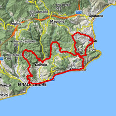
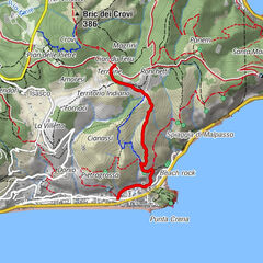
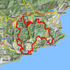
- Route
-
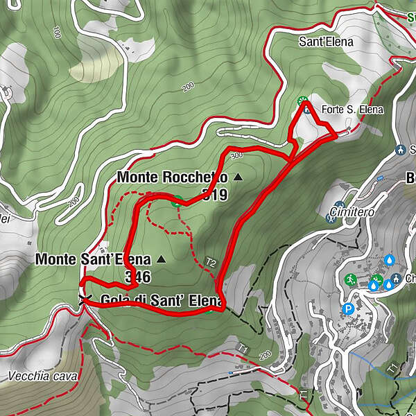
Bergeggi1.2 kmMonte Rocchetto (319 m)1.8 km
- Best season
-
JanFebMarAprMayJunJulAugSepOctNovDec
- Description
-
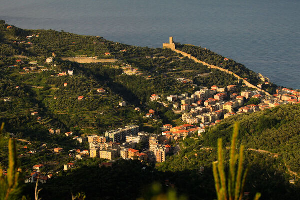
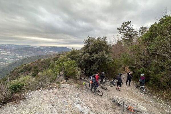
Monte Sant Elena is the joining point between the trails in Bergeggi and Spotorno. The small fort was, once, used as a strategic control center thanks to its great view on the sea from Capo Noli on the East to La Spezia on the West and even Corsica in the clearer days.
This is a track for everybody and can be used both ways.
- Highest point
- 297 m
- Height profile
-
 © outdooractive.com
 - Equipment
-
Wearing the helmet is mandatory and strongly advised to wear protections. Make sure you have enough water with you and a charged, switched on device to call rescue (just in case).
- Safety instructions
-
Given its nature, the trail can change after weather happenings and season changes. Always pay attention.
- Directions
-
Spotorno area is reachable from the E80 highway accessing Spotorno. You'll need to take the SP8 until Magnone: definitely the best access point for Spotorno trail area.
- Public transportation
- Parking
-
Plenty of parking space will be found in Magnone.

-

-
AuthorThe tour 295 - Monte Sant'Elena-Decolli is used by outdooractive.com provided.
GPS Downloads


Other tours in the regions
-
Golfo dell'isola
165
-
Savona
40