© Finale Outdoor - Finale Outdoor Base Desk

- Brief description
-
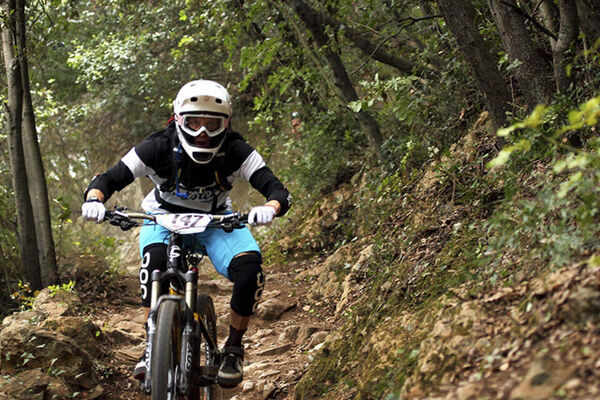
Fast narrow and tecky, all you want to top your experience in Pietra.
- Difficulty
-
difficult
- Rating
-
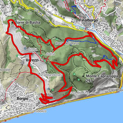
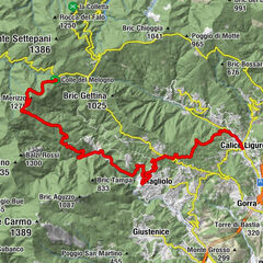
- Starting point
-
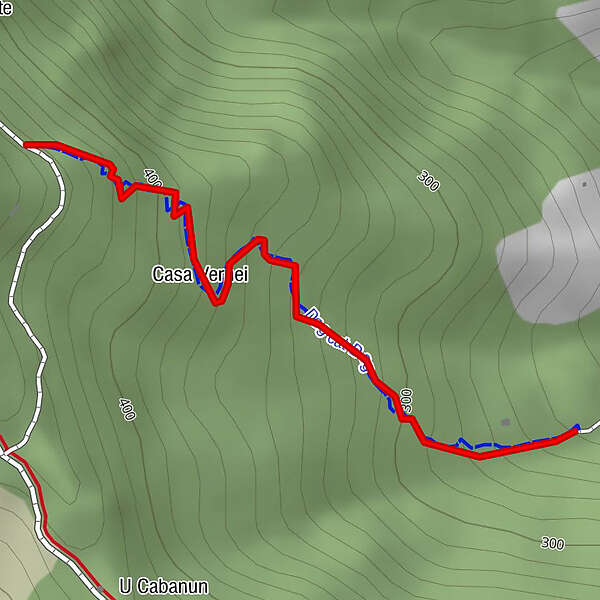
Strada delle Gatelle
- Route
-
Casa Vernei0.3 km
- Best season
-
JanFebMarAprMayJunJulAugSepOctNovDec
- Description
-
Based on a pre-existing hiking trail that was about to get wild, it was modified in order to make the passage for bikes easier and smoother.
It features fast and smooth lines that can become quite tight and unpredictable. It is important to keep the focus high given the variety of lines and terrains.
It ends high on the town of Giustenice on concrete road.
- Highest point
- 421 m
- Endpoint
-
Giustenice
- Height profile
-
 © outdooractive.com
 - Equipment
-
Wearing the helmet is mandatory and strongly advised to wear protections. Make sure you have enough water with you and a charged, switched on device to call rescue (just in case).
- Safety instructions
-
Keep a slow speed on the road at the end of the trail.
Given its nature, the trail can change after weather happenings and season changes. Always pay attention.
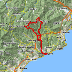
- Directions
-
Exit the E80 highway in Pietra Ligure. Keep going towards the sea and you'll get to Pietra Ligure. You'll then be able to drive toward the mountains in order to reach Val Maremola towns and trails.
Other option would be the E80 exit in Finale Ligure. Keep going towards the sea until you catch the SS1 Via Aurelia and move west until Pietra Ligure
- Public transportation
- Parking
-

-
AuthorThe tour 344 - Dog Eat Dog is used by outdooractive.com provided.
GPS Downloads


Surfaces
Trial
General info
Insider tip
Other tours in the regions