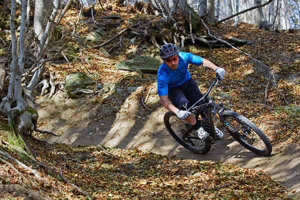

- Brief description
-
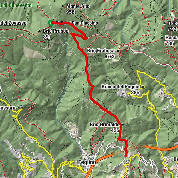
Both-way gravel road that from Orco gets to Colla di San Giacomo.
- Difficulty
-
medium
- Rating
-
- Starting point
-
Orco
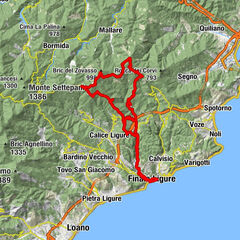
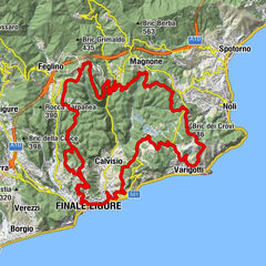
- Route
-
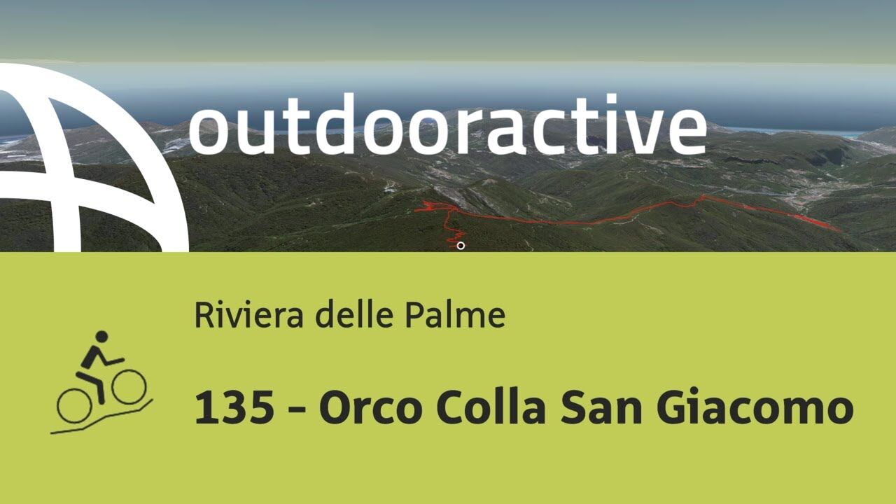
Bric Grimaldo (435 m)1.2 kmC. Prà Martino4.8 km
- Best season
-
JanFebMarAprMayJunJulAugSepOctNovDec
- Description
-
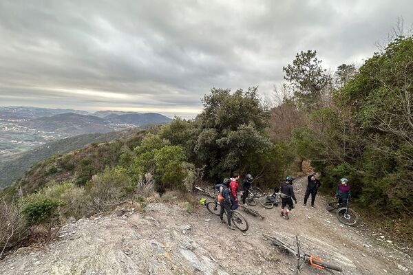
Here is an alternative to the tarmac road that leads to the Nato Base. Often used by hunters and motorbikes, this gravel road connects Orco to the crossroad called Colla di San Giacomo. It can be ridden both ways and gives access to other trail areas.
- Highest point
- 808 m
- Endpoint
-
Colla di San Giacomo
- Height profile
-
 © outdooractive.com
 - Equipment
-
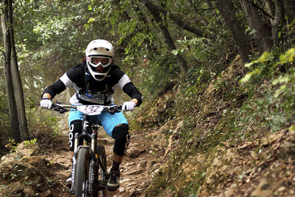
Wearing the helmet is mandatory and strongly advised to wear protections. Make sure you have enough water with you and a charged, switched on device to call rescue (just in case).
- Safety instructions
-
Given its nature, the trail can change after weather happenings and season changes. Always pay attention.
- Directions
-
The trails of the Orco-Vezzi area are best reachable either by bike from Nato Base or from the town of Orco.
Getting to Nato Base: reachable from the E80 highway accessing Orco Feglino, then drive north on the SP23 until the windmills under the Base.
Getting to Orco: reachable from the E80 highway accessing Orco Feglino, then drive south on the SP27 and then on the Via Provinciale Regione Brea.
- Public transportation
- Parking
-

-
AuthorThe tour 135 - Orco Colla San Giacomo is used by outdooractive.com provided.