


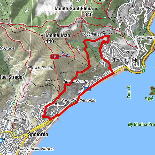

- Brief description
-
Where History and Nature meet the stunning views of the gulf
- Difficulty
-
easy
- Rating
-
- Starting point
-
Spotorno, intersection of via Berninzoni with via Antica Romana
- Route
-
Spotorno0.1 kmFornaci0.4 kmCosta dei Ginestri2.6 kmIl Cantinone del mare3.7 kmPunta Sant'Antonio4.2 kmSpotorno4.9 km
- Best season
-
JanFebMarAprMayJunJulAugSepOctNovDec
- Description
-
The hike begins along Via Antica Romana di Spotorno (an old roman connecting road) which climbs up steep through recently built buildings, crosses a forest of Aleppo pines, and arrives in "Batterie" area, above the old quarry which is hidden by skyscrapers. Right here, an anti-landing artillery battery was placed during the Second World War. For centuries, the Via Antica Romana stayed the most convenient link between Spotorno and Vado Ligure since the current Via Aurelia, along the coast, only dates back to the Napoleonic era.
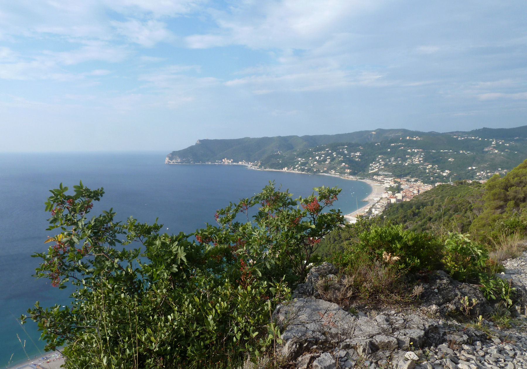
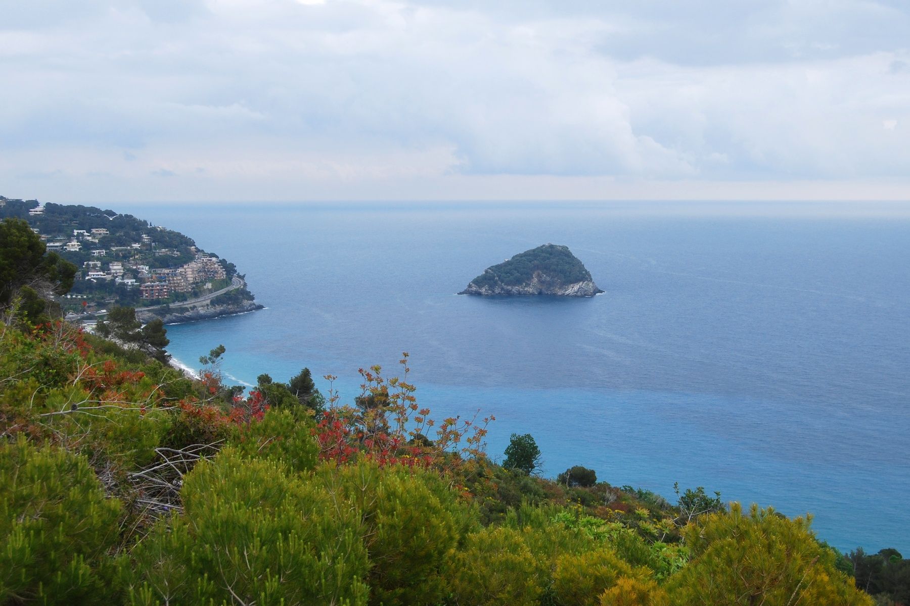
After a first asphalted section, the road turns into an almost flat dirt road and it is surrounded by plants typical of the Mediterranean scrub. The trail is marked by three red dots. The view is incredible and opens out onto the Gulf of Spotorno. Its beaches, the Bergeggi Island, and the sea between Capo Noli to the west and Punta del Maiolo with Torre del Mare to the east: breath-taking.
The island was included in the Bergeggi Regional Nature Reserve in 1985 due to the presence of rare plants such as the Savona Harebell (campanula sabatia), unique to western Liguria and for its extremely important historical and archaeological evidence. On the top of the island, we can in fact find the remains of a Roman and a medieval tower, a fourth century church and a tenth century monastic settlement. In 2007 the Bergeggi Marine Protected Area was also established in the stretch of sea surrounding the island, due to the interesting seabed characterized by Posidonia Oceanica meadows and rocky stretches with coralligenous formations.
Walk along the roman road until it bends at an almost 90° angle. Just a few steps further on, take downhill trail on your right. Continue walking down along the beautiful "Sentiero Turistico Eliceto" (Eliceto Tourist Trail) which has been open for a few years and runs among trees and plants of the Mediterranean scrub. Even in summer, it stays cool and shaded and it is equipped with steps, wooden railings, benches, and fountains, all the way until you reach Via Aurelia. You now end this loop following the seaside promenade to the town.
- Highest point
- 173 m
- Endpoint
-
Spotorno, via Aurelia
- Height profile
-
 © outdooractive.com
 - Equipment
-
Hiking shoes, sportswear, and hiking sticks.
- Directions
-
Along Via Aurelia, go up to the north-east side of the old town and take the parallel inner road (via Berninzoni).
- Author
-
The tour Spotorno’s Roman Road is used by outdooractive.com provided.


General info
-
Golfo dell'isola
151
-
Savona
33