


- Brief description
-
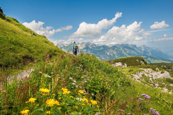
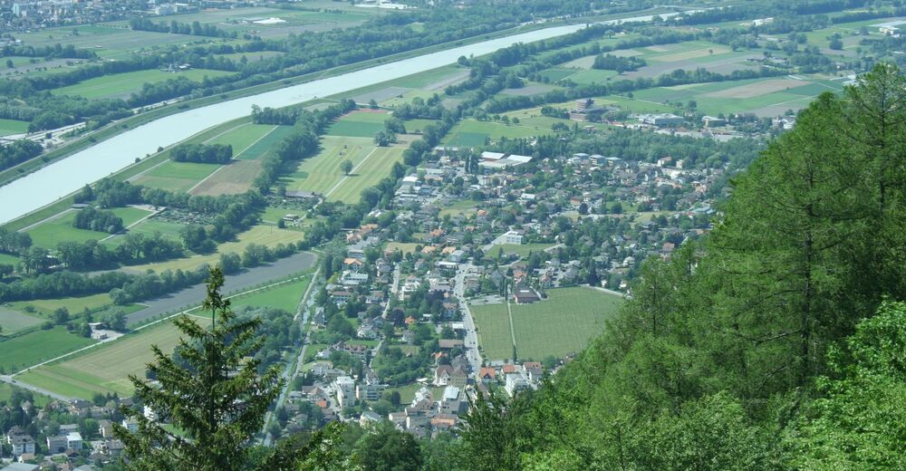
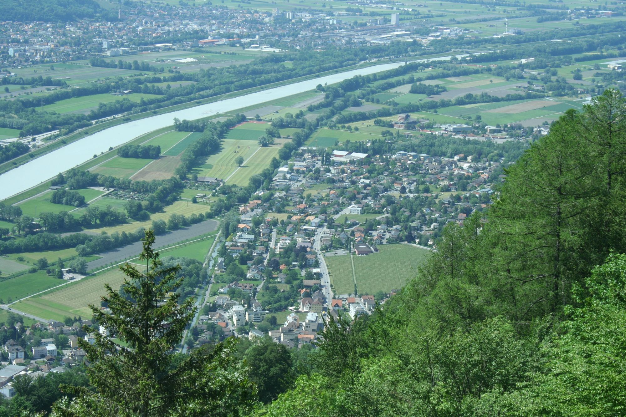
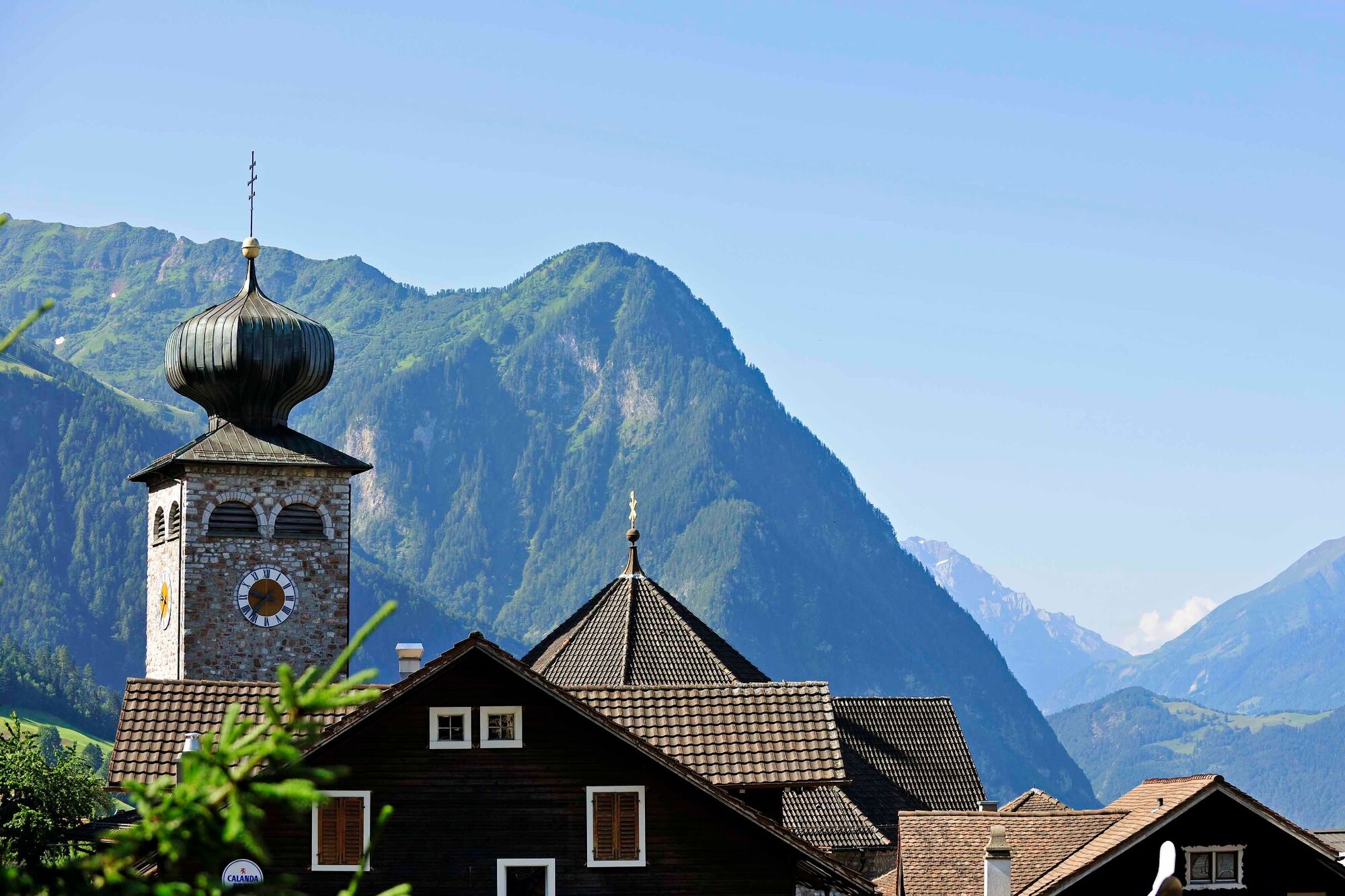
Myths and legends accompany hikers on their way through a fascinating cultural landscape with magnificent views of the Rhine Valley and the surrounding mountains.
- Difficulty
-
medium
- Rating
-
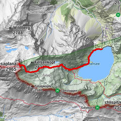
- Route
-
Triesenberg (884 m)0.0 kmRotenboden1.6 kmVaduz (455 m)3.0 kmVorder Prufatscheng4.6 kmMasescha5.2 kmSankt Theodul5.3 kmMitätsch (1,273 m)6.9 kmLavadina9.1 kmPfarrkirche Sankt Josef12.0 kmTriesenberg (884 m)12.1 km
- Best season
-
JanFebMarAprMayJunJulAugSepOctNovDec
- Description
-
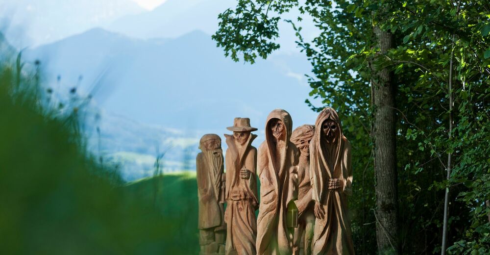
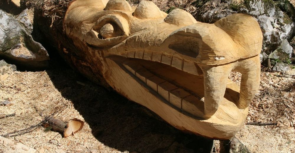
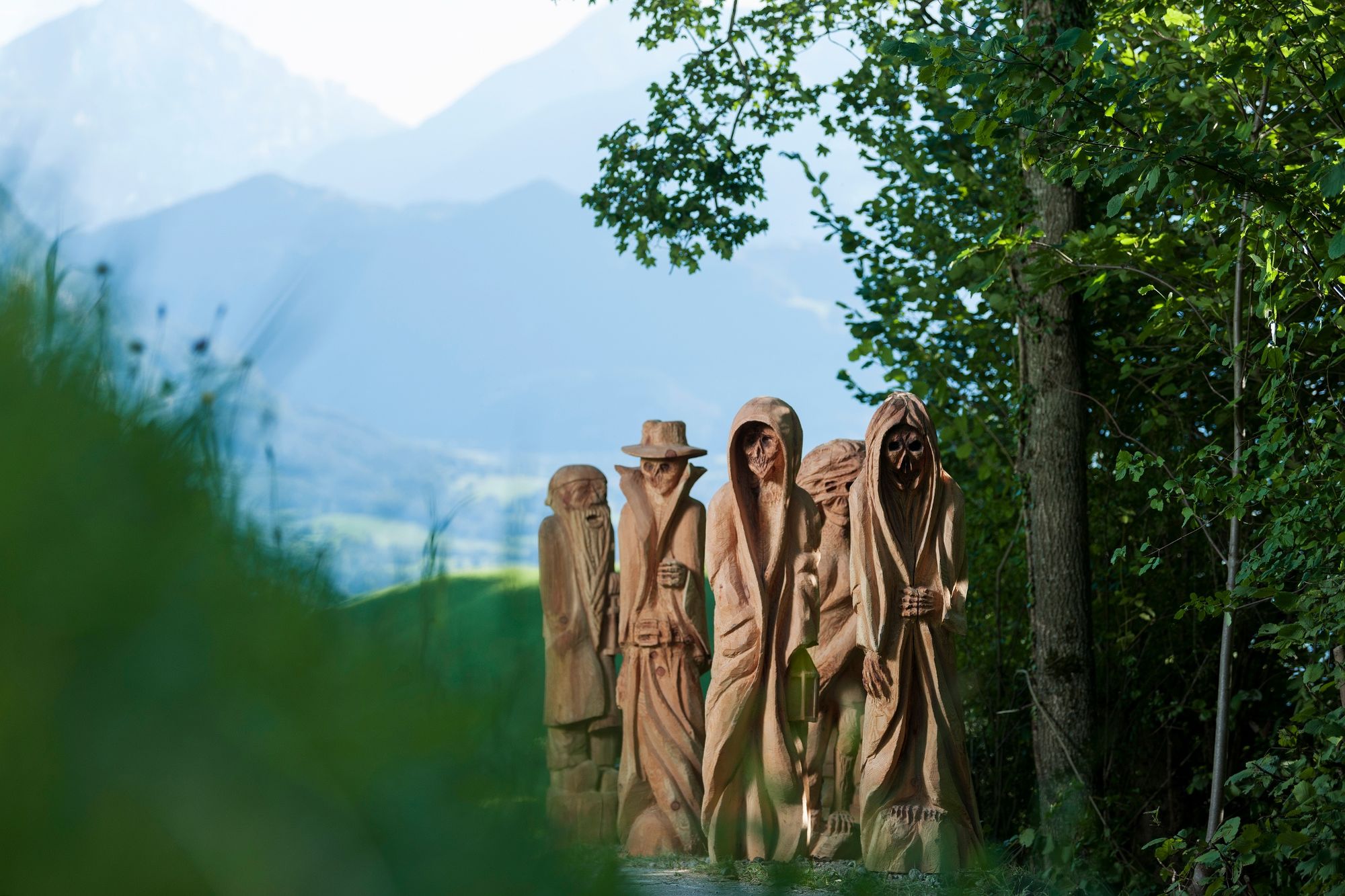
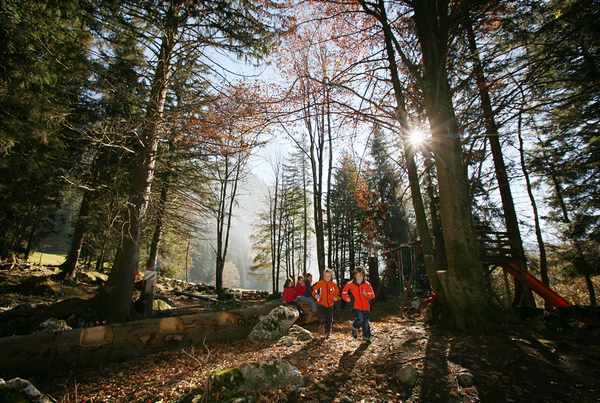
The varied Walser Fable Trail has information stations dotted along the way telling the story of the Walser people native to Triesenberg. The starting point is the village square in Triesenberg with its Walser Museum.
Stage 1: The demanding 5.5-kilometre hiking trail to Masescha is not suitable for buggies and requires sturdy footwear. It takes about two and a half hours.
Stage 2: The second part of the Wals Fable Trail from Masescha to Studa, however, is suitable for families with buggies and prams. The easy hike along the 2.3-kilometre stretch takes about one hour.
Stage 3: The final stage leads from Rizlina past the Studa playground and Rossboda back to the starting point in the centre of the village. This final section of the Wals Fable Trail is 4 kilometre long and takes about one and a half hours.
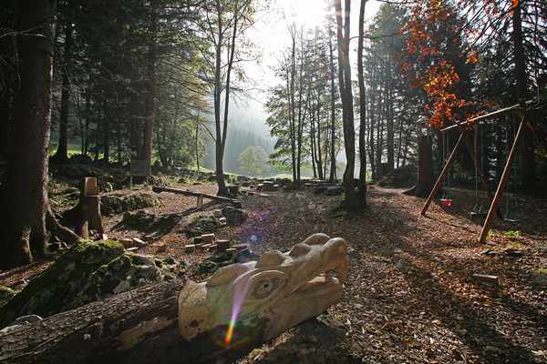
Nearby playgrounds and barbecue sites tempt visitors to stay a while and enjoy themselves.
- Highest point
- 1,269 m
- Endpoint
-
Triesenberg Dorfzentrum
- Height profile
-
 © outdooractive.com
 - Safety instructions
-
Going on a tour requires careful planning. We recommend that you discuss the routes and weather conditions with the local information points in advance. Depending on the season and weather conditions, this route may be closed or interrupted.
- Tips
-
Visit the Walser museum in Triesenberg.


-

-
AuthorThe tour Wals Fable Trail is used by outdooractive.com provided.


General info
-
Heidiland
2201
-
Liechtenstein
1289
-
Triesenberg
227