© D. Mouraud / Destination Angers

© D. Mouraud / Destination Angers

© D. Mouraud / Destination Angers

© D. Mouraud / Destination Angers

© Circuit du Fouilloux

© D. Mouraud / Destination Angers
- Brief description
-
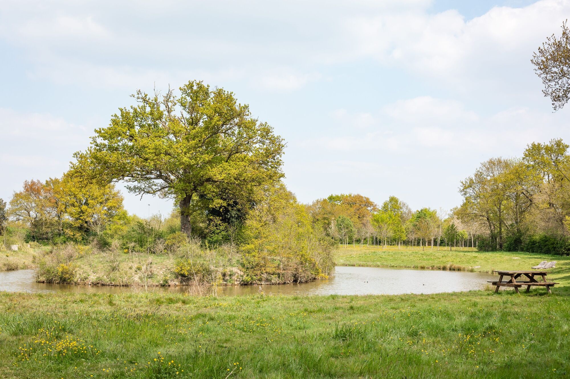
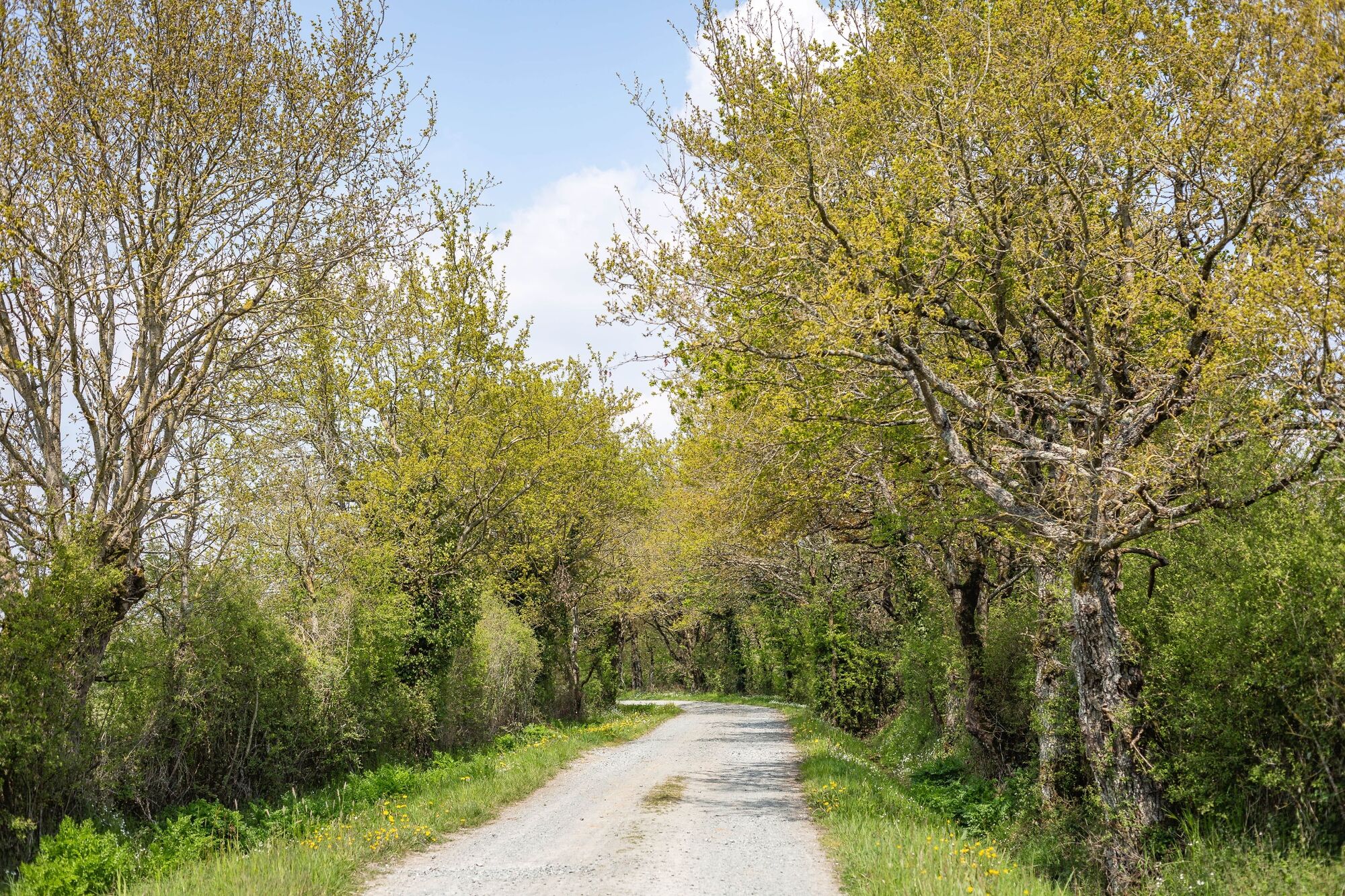
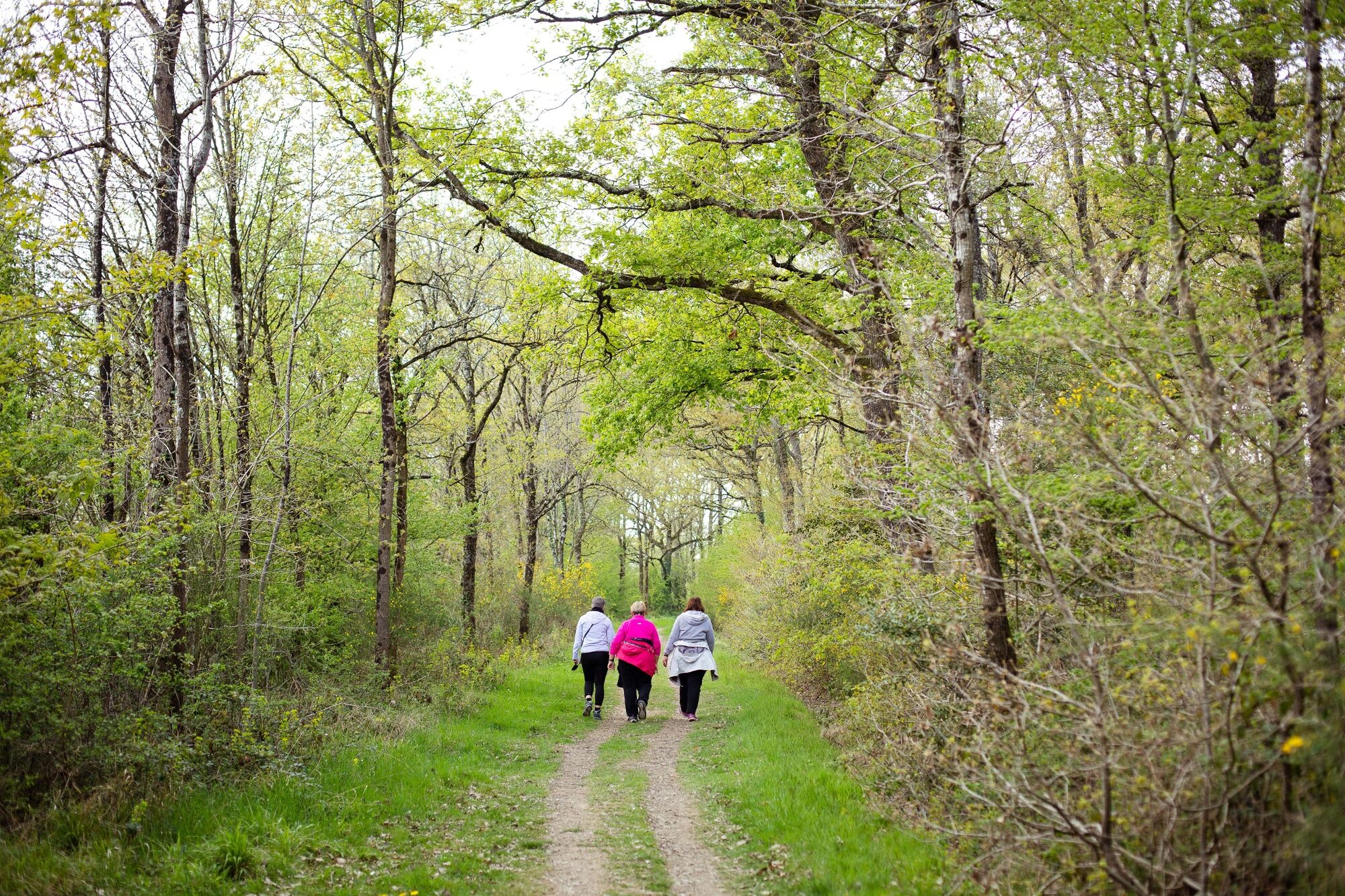
This path, 10 minutes away from the city of Angers, is different from other ones as it will give the hikers the opportunity to discover 84 hectares of communal forest bordered by ponds.
- Difficulty
-
easy
- Rating
-
- Route
-
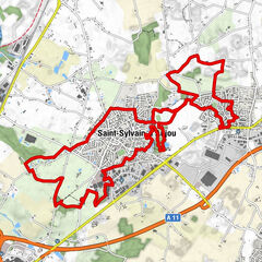
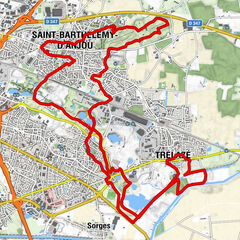
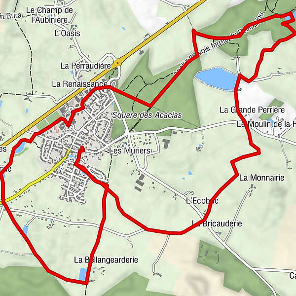
Saint-Martin-du-FouillouxL'Ecobue1.7 kmChamp du Moulin2.6 kmBois Saint-Aubin2.7 kmLa Grande Perrière2.7 kmLa Perraudière6.6 kmLa Renaissance6.7 kmLe Clos de la Perraudière6.7 kmL'Oliveraie8.0 kmSaint-Martin-du-Fouilloux10.7 km
- Best season
-
JanFebMarAprMayJunJulAugSepOctNovDec
- Description
-
Touristic places :
- The Fouilloux forest is a privileged location for walks, sport in a natural and wild environment. A train, le Petit-Anjou, used to cross this place
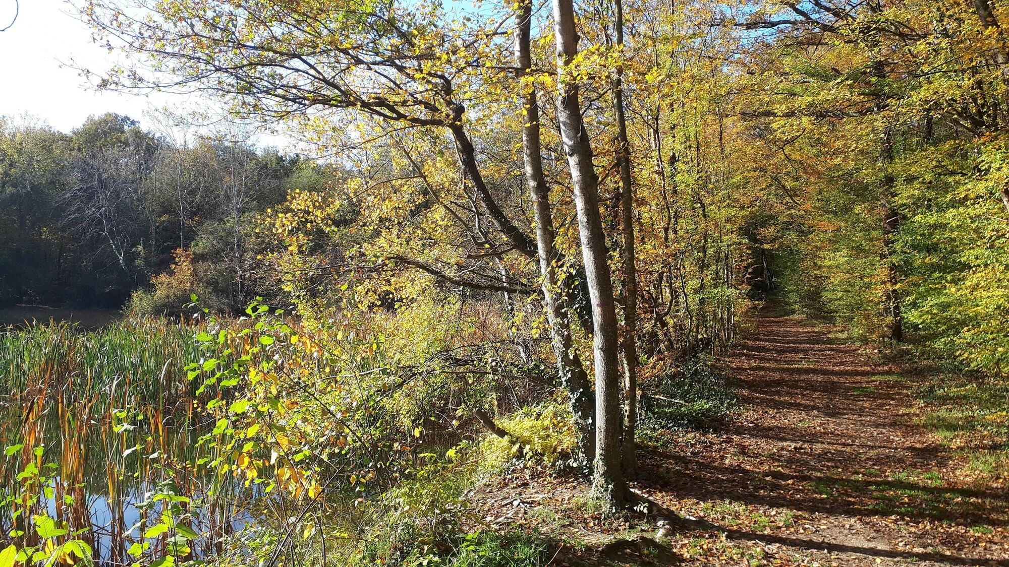
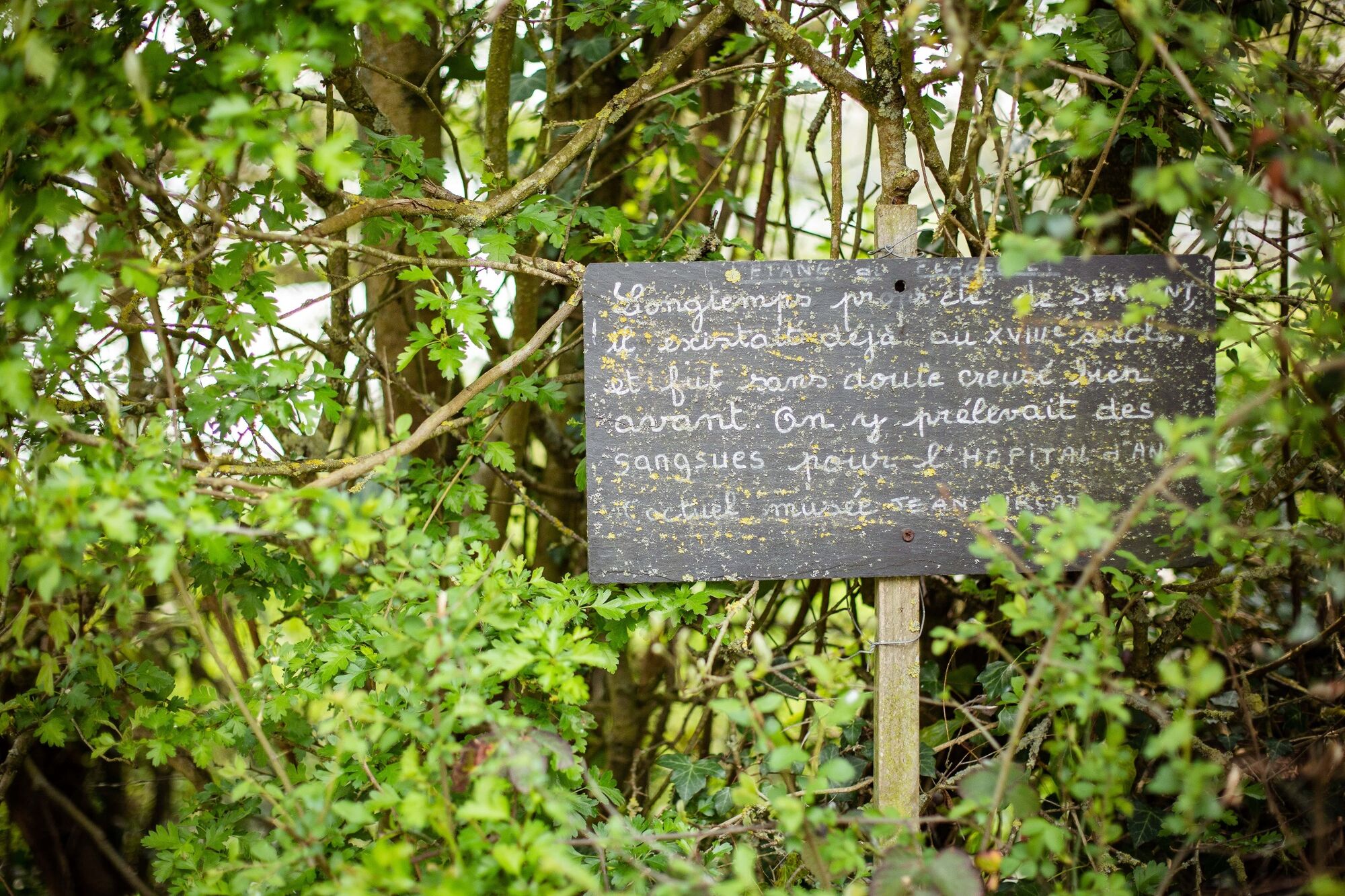
- The étang du Flageolet is a pond that already existed in the 18th century and was certainly dug long before. Leeches were removed here for the Saint-Jean hospital in Angers.
Equipment at your disposal :
- Picnic tables in the Parc des Fontaines
Departure point :
- Town Hall, rue du Petit Anjou in Saint-Martin-du-Fouilloux
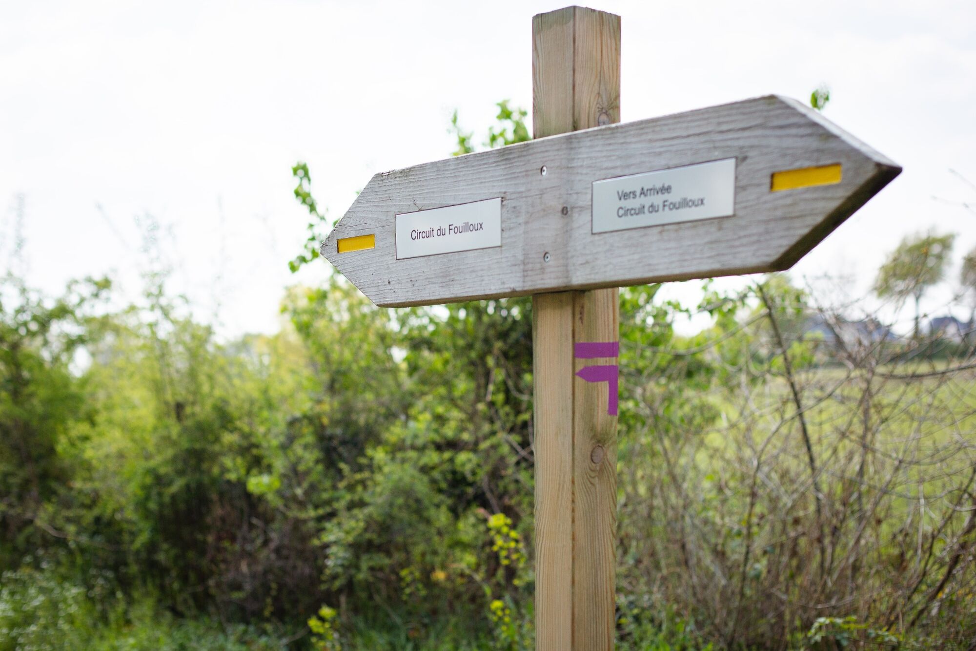
Circuit marked out in mauve. - Highest point
- 79 m
- Endpoint
-
Saint-Martin-du-Fouilloux
- Height profile
-
 © outdooractive.com
 - Additional information
-
APIDAE tourism data updated on 15/03/2023 by "Destination Angers".
Spotted an error? Write to the owner with the following information:
File name: Circuit du Fouilloux | Record identifier: 6036254 | URL (link) for this Outdooractive page.
-

-
AuthorThe tour Walk around Saint-Martin-du-Fouilloux is used by outdooractive.com provided.
GPS Downloads


General info
Healthy climate
Flora
A lot of view