© OTIR

© O.Gomez

© O.Gomez

© P.Mazère

- Brief description
-
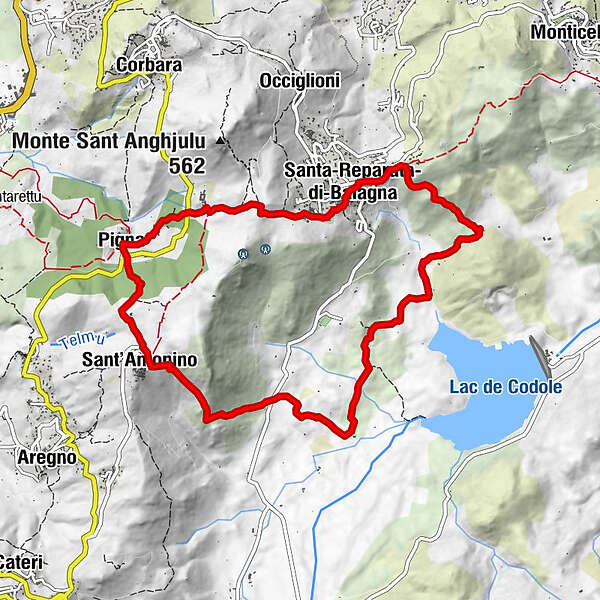
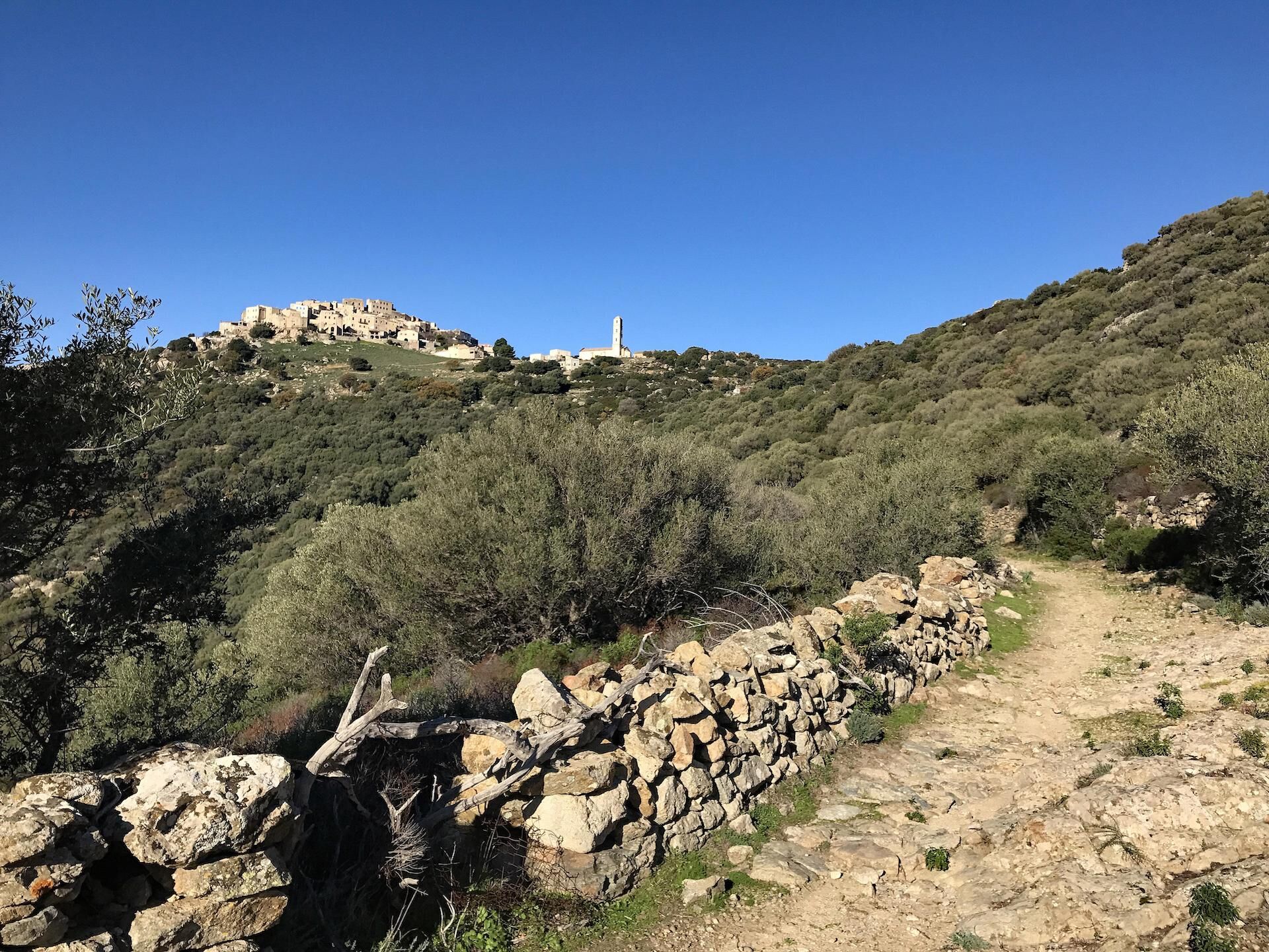
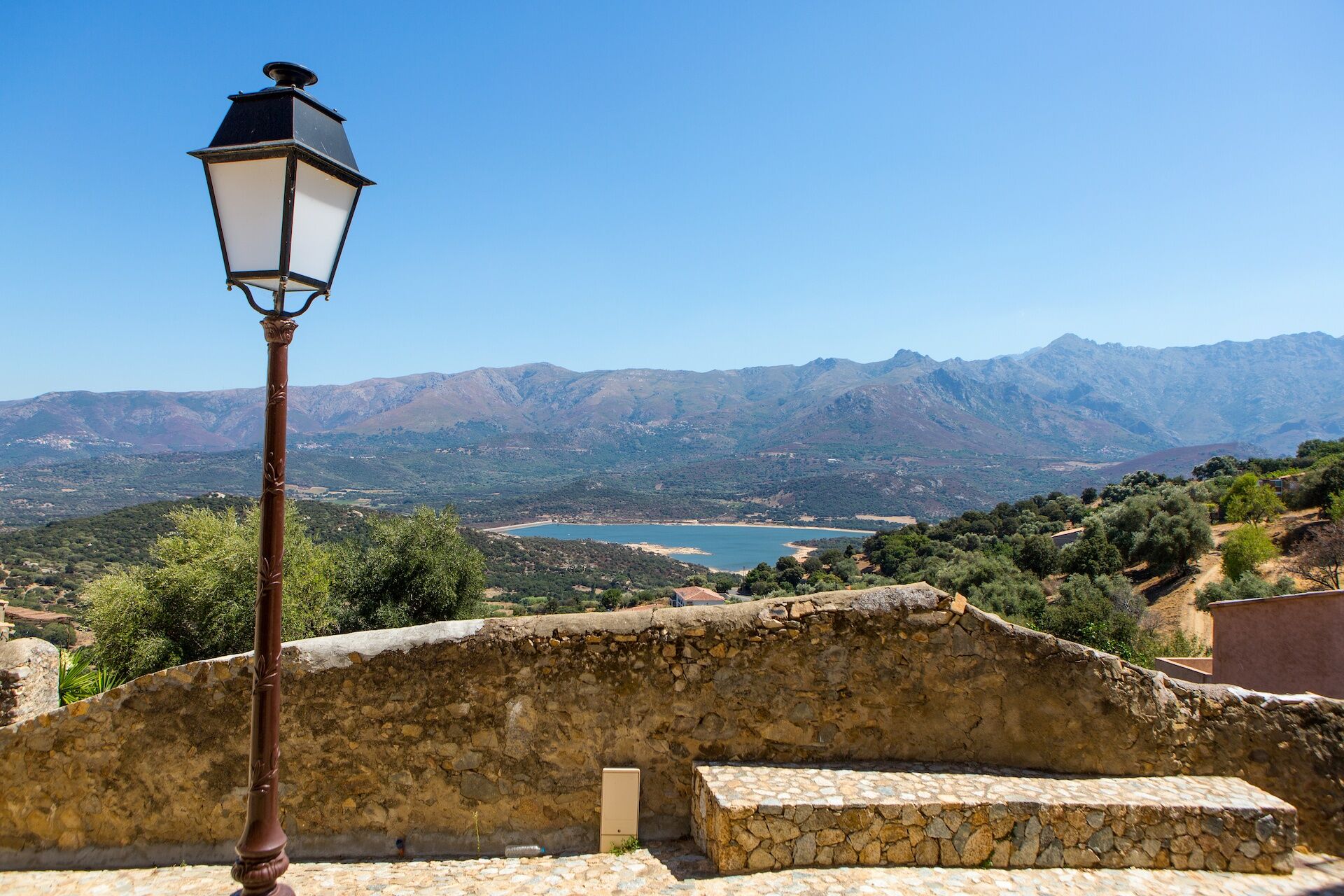
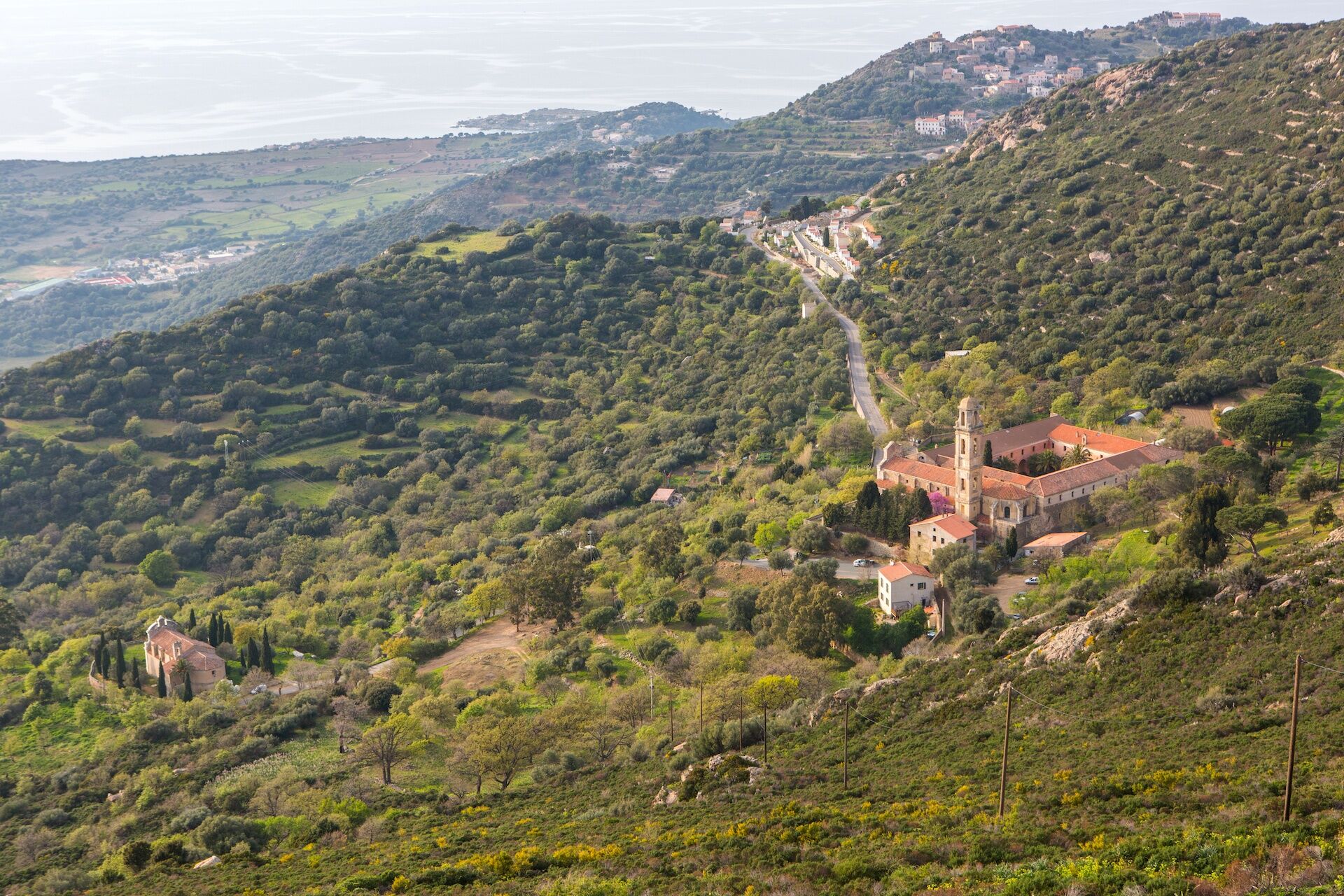
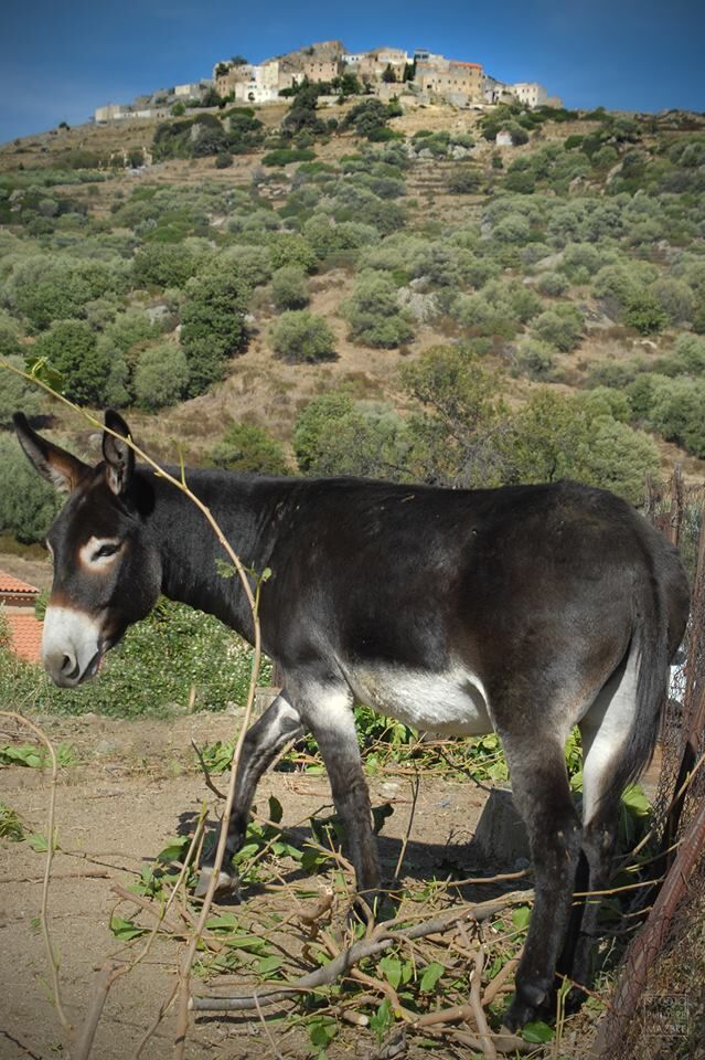
From Santa Reparata, hike to the villages of Pigna and Sant'Antonino perched on a ridge overlooking the sea at 500m altitude. Return through the Regino Valley.
- Difficulty
-
difficult
- Rating
-
- Route
-
Ghjesgia di Santa-Riparata0.1 kmSanta-Reparata-di-Balagna0.1 kmChapelle de Poggio0.1 kmPoghju0.3 kmAlzia0.7 kmChapelle de la Nativité2.2 kmÉglise de l'Immaculée-Conception2.9 kmA Mandria2.9 kmPigna2.9 kmU Corsu4.4 kmSant'Antonino4.4 kmÉglise de l'Annonciation4.5 kmSanta-Reparata-di-Balagna11.6 kmGhjesgia di Santa-Riparata11.7 km
- Best season
-
JanFebMarAprMayJunJulAugSepOctNovDec
- Highest point
- 448 m
- Endpoint
-
Santa Reparata
- Height profile
-
 © outdooractive.com
 - Additional information
-
APIDAE tourism data updated on 12/01/2022 by "Office de Tourisme Intercommunal de L'Ile Rousse-Balagne".
Spotted an error? Write to the owner with the following information:
File name: Rando 11 : Giru di Santa Reparata | Record identifier: 5684538 | URL (link) for this Outdooractive page.
- Author
-
The tour Hiking 11 : Santa Reparata tour is used by outdooractive.com provided.
GPS Downloads


Other tours in the regions
-
Haute-Corse
172
-
Île-Rousse-Balagne
96