


- Brief description
-
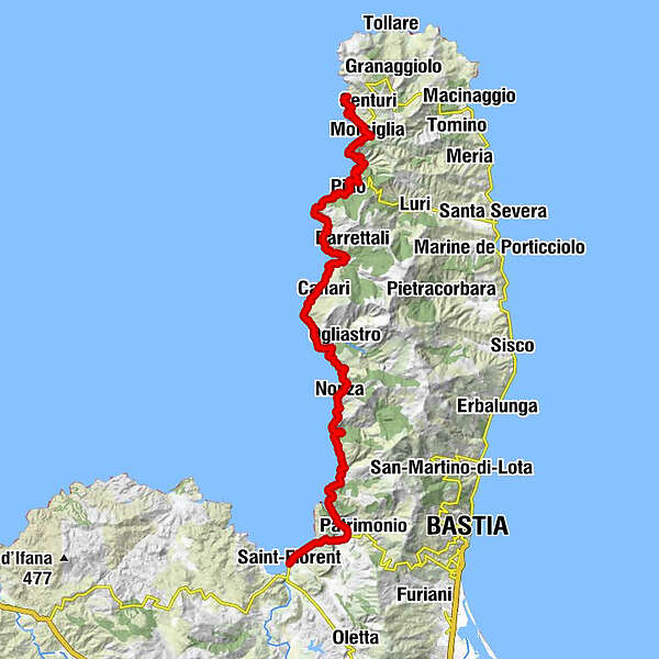
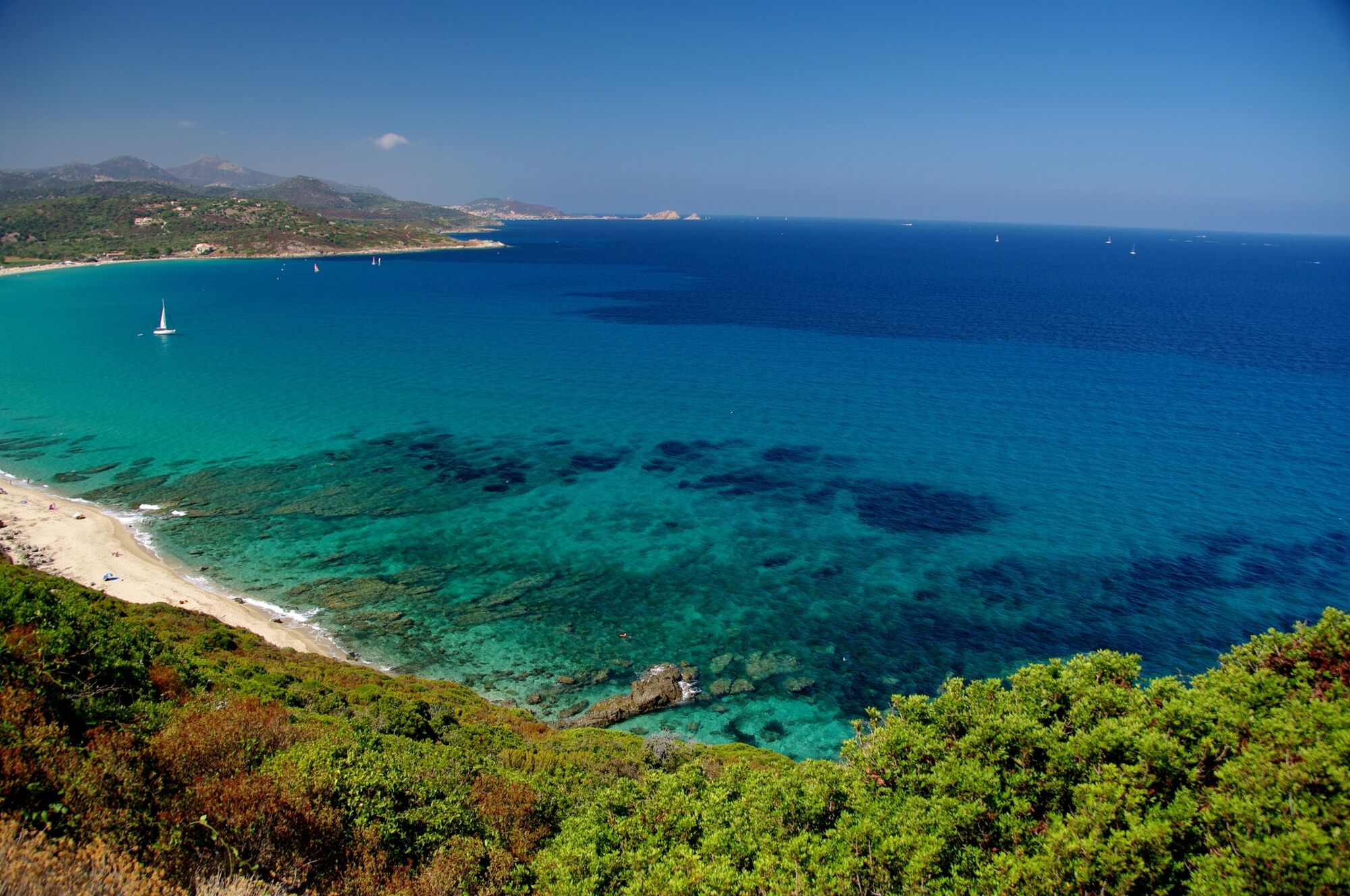
On the west coast of Cap Corse, the GT 20 long-distance cycle route leads through the Mediterranean landscape of the French island.
- Difficulty
-
difficult
- Rating
-
- Starting point
-
Port de Centuri
- Route
-
Port de Centuri0.0 kmMute0.9 kmStanti4.0 kmMorsiglia4.9 kmMucchieta5.9 kmPino14.4 kmCiocce14.6 kmPeri15.3 kmMinerviu19.7 kmO'Lamparo19.7 kmL'Acolaja (221 m)21.4 kmCornu26.0 kmSuarella27.8 kmSuarella Soprana27.9 kmSaint-Thomas et Saint-Érasme28.0 kmMarinca28.0 kmMercacce28.1 kmCanari28.3 kmMarine de Scala28.9 kmL'auberge Du Chat Qui Pêche31.0 kmAlbo34.7 kmFontaine de Sainte-Julie39.1 kmÉglise Sainte-Julie39.2 kmA stalla39.2 kmBoccafine39.2 kmNonza39.3 kmNegru43.9 kmSaint-Florent58.0 km
- Best season
-
JanFebMarAprMayJunJulAugSepOctNovDec
- Description
-
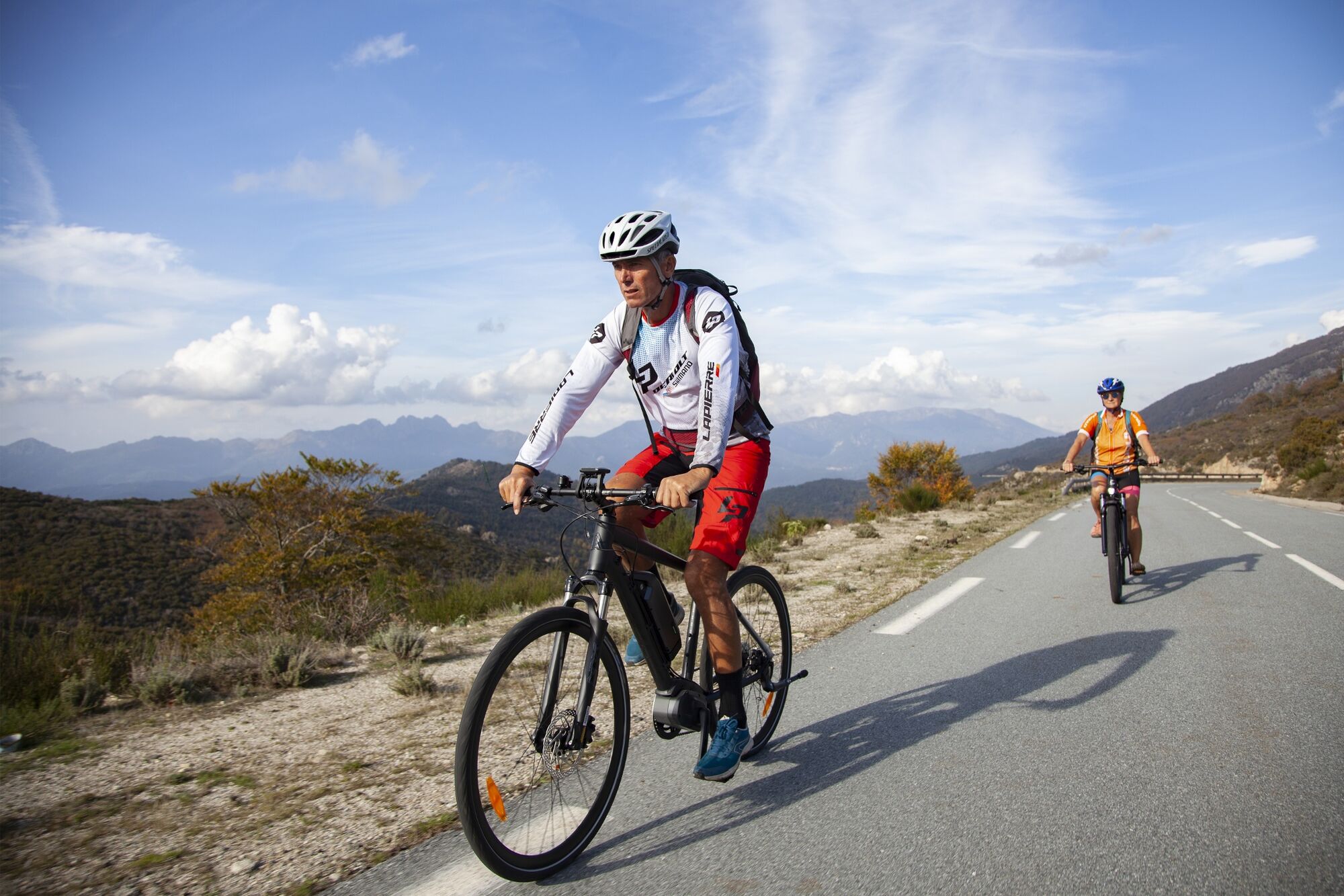
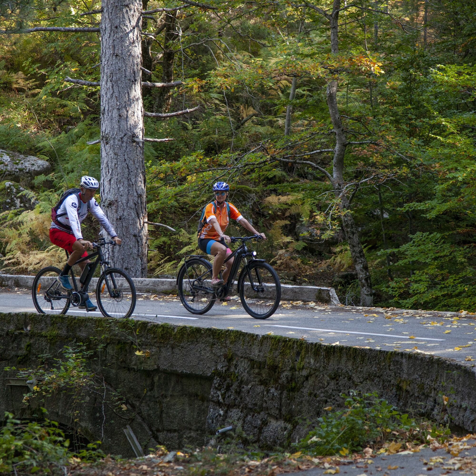
Between Port de Centuri and Saint-Florent, the approximately 60 km long route winds along the coast and through Corsica's mountain landscape. Exciting ascents and descents make the tour challenging. This section is the second stage of the GT 20 long-distance cycle route.
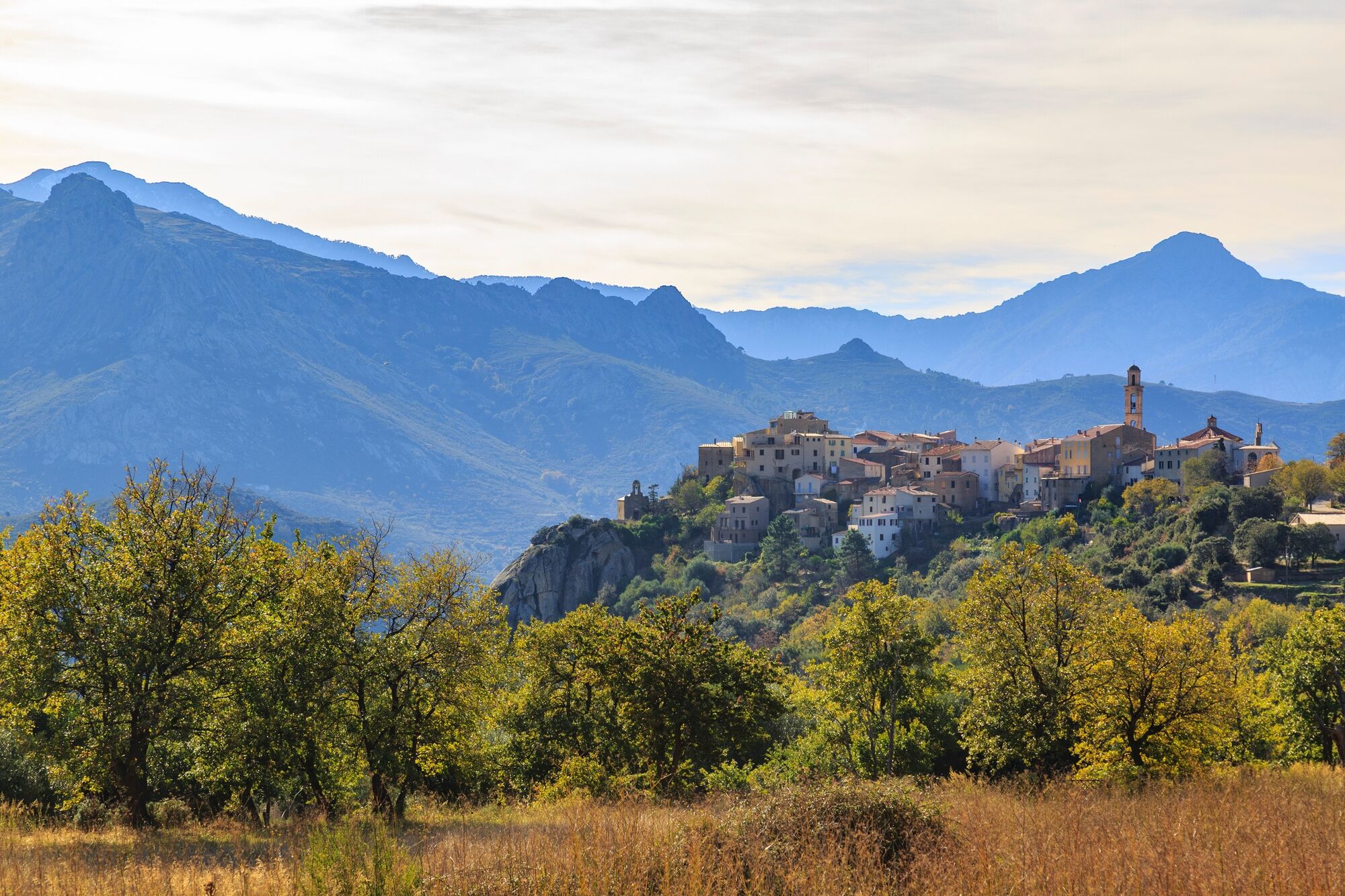
Between the lonely roads, the picturesque villages invite you to take a break. This is how you get to know Corsica from its original side. Far away from the crowds of tourists in the island's hotspots, you can recharge your batteries on this tour.
Whether by road bike, mountain bike or e-bike, everyone can explore the landscape at their own pace.
- Directions
-
The tour starts at the harbour of Port de Centuri. Leave the town in a southerly direction on the road. The D35 initially runs along the coast, after one kilometre the first ascent begins and the road continues inland. The road leads to Baragogna. Cross the town and turn right onto the D80, then keep left and follow the main road. You drive closer to the coast again towards Capu Corvoli. The road winds its way to Pino. Stay on the D80 and cross the village. You will pass other villages along the way. After around 50 kilometres, the D80 leads back inland towards Santa Maria. Leave the roundabout straight ahead and take a long bend back towards the coast to finally reach Saint-Florent.
- Highest point
- 203 m
- Endpoint
-
Saint-Florent
- Height profile
-
 © outdooractive.com
 - Equipment
-
Make sure that your bike is in perfect condition, especially with regard to tyres and brakes.
Make sure that the bike is adapted to your height.
Wearing a helmet is strongly recommended.
Take a repair kit with you.
A first aid kit is not absolutely necessary, but can be very useful. - Safety instructions
-
Remember that the Highway Code applies to cyclists in all circumstances.
There should never be more than two cyclists riding side by side. If necessary, they must get in line behind each other.
Respect other road users as you would like to be respected by them.
Choose a route that suits your physical abilities.
Inform a contact person about your route.
Find out about the weather conditions.
Call the emergency number 112.
Respect the environment by not throwing your rubbish at the side of the road.
If you have to travel after dark, make sure that you can see well and that you can be seen by others.
- Author
-
The tour Cycling along the Cap Corse is used by outdooractive.com provided.


General info
-
Haute-Corse
11
-
Cap Corse
3

