- Brief description
-
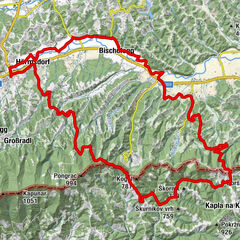
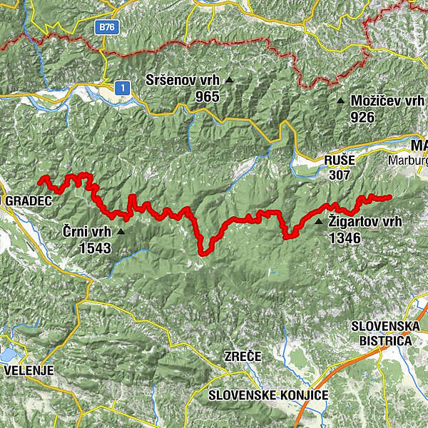
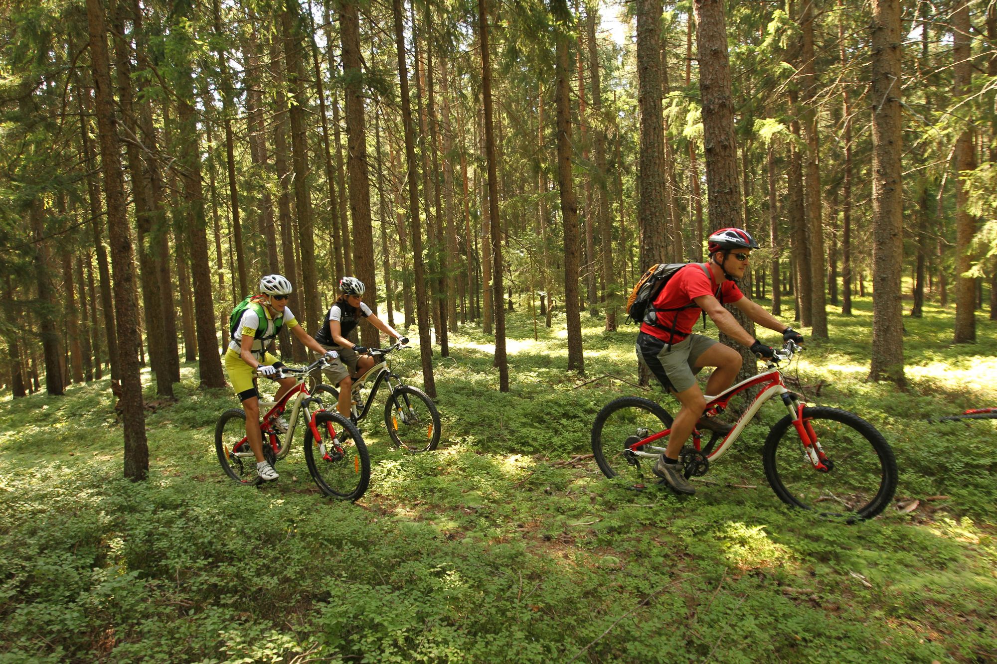
On the slopes of Pohorje there is a vibrant 70 km long cycling route that connects its eastern part with the western.
- Difficulty
-
difficult
- Rating
-
- Route
-
Izvir Kamenitnice1.4 kmBrneško sedlo (1,001 m)3.4 kmKoča Kaštivnik7.1 kmHolcer17.5 kmPungart (1,374 m)17.5 kmKope17.6 kmKoča na Pesku (1,382 m)41.9 kmKamenitec (1,304 m)46.5 kmVeliki Šumik58.0 kmVernski slap58.4 kmCojzarica (1,156 m)62.1 kmDom na Glažuti67.0 kmSv. Bolfenk73.3 kmMariborsko Pohorje (1,042 m)73.3 km
- Best season
-
JanFebMarAprMayJunJulAugSepOctNovDec
- Description
-
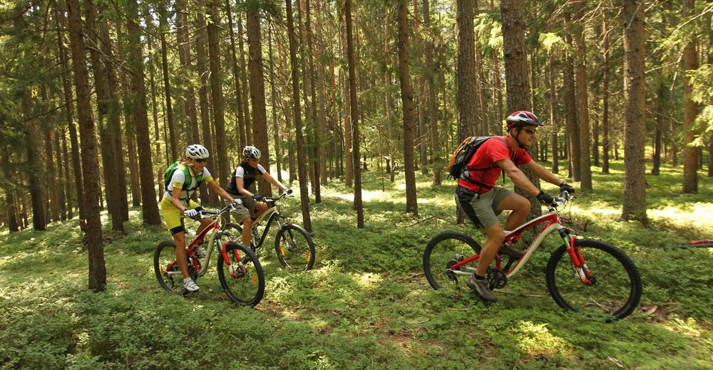
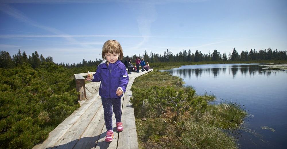
Explore Pohorje by bike and discover the wonders of intact nature and Pohorje's sights from Church of St. Bolfenk on Maribor side to the bottom of Kremžarjev vrh in Koroška on the other side of Pohorje! On the slopes of Pohorje there is a vibrant 70 km long cycling route that connects its eastern part with the western.
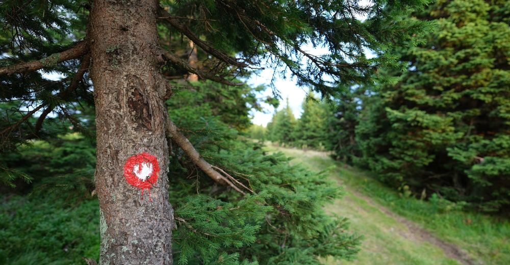
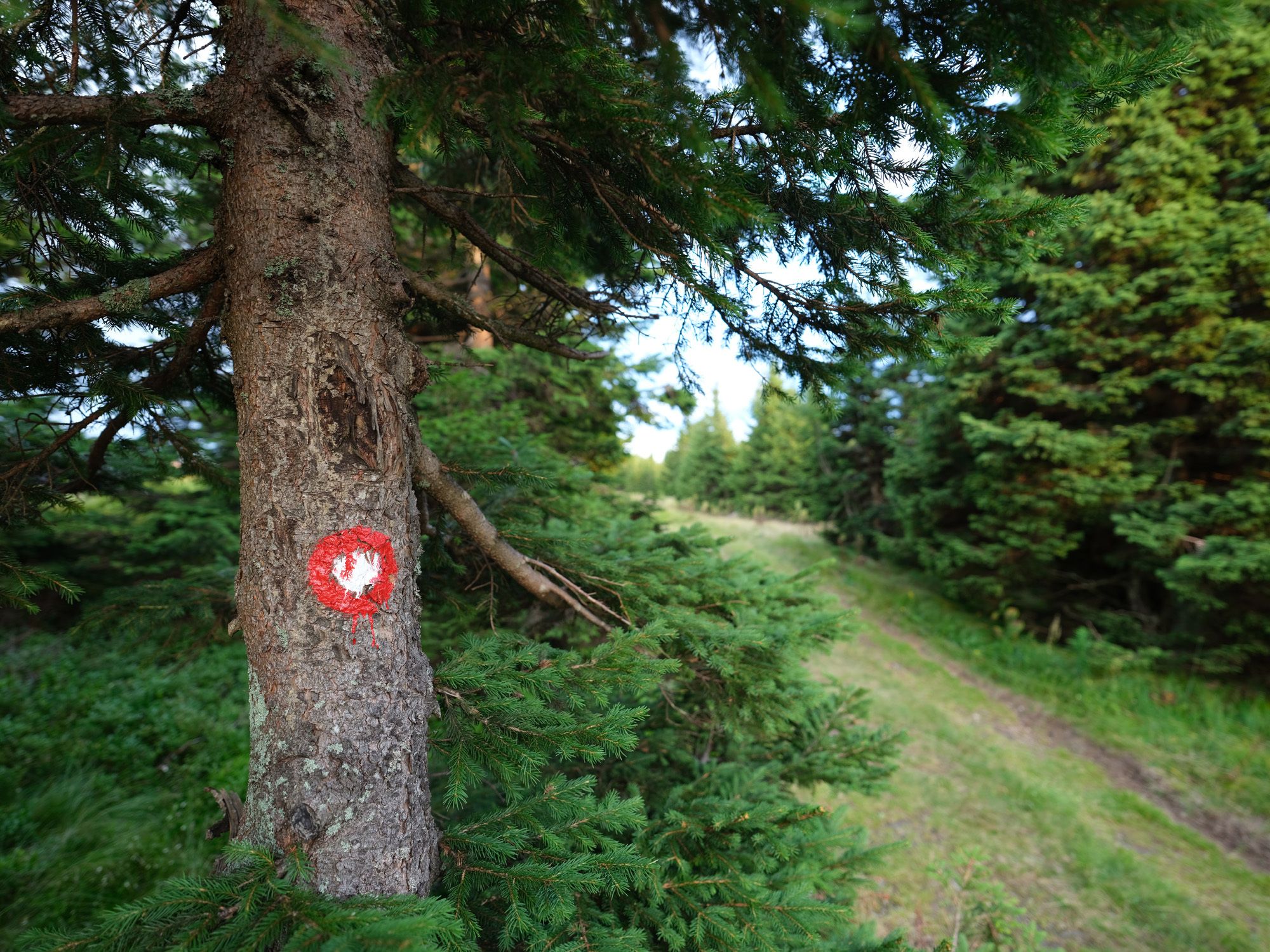
The route is marked in both directions (sign PT), and is linked to a number of local bike paths or forest roads that lead from all major centres around Pohorje.
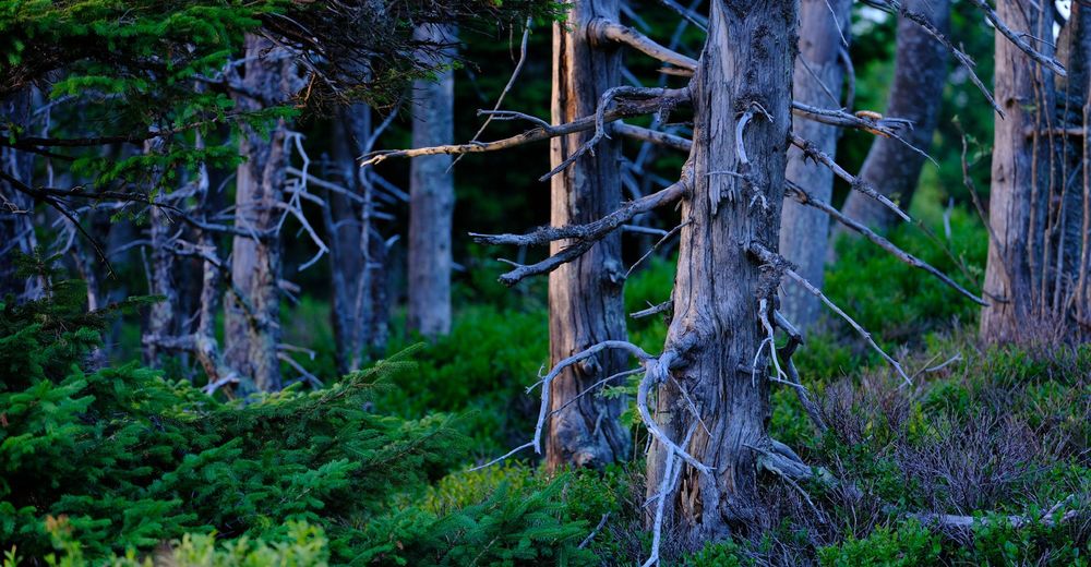
Along with a dense network of forest roads and cart tracks there are still a number of hidden moors and pastures, brooks with waterfalls and other natural pearls to be explored on Pohorje. Enjoy them!
- Highest point
- 1,408 m


-
Südsteiermark
138
-
Savinjska
24
-
Rogla
16