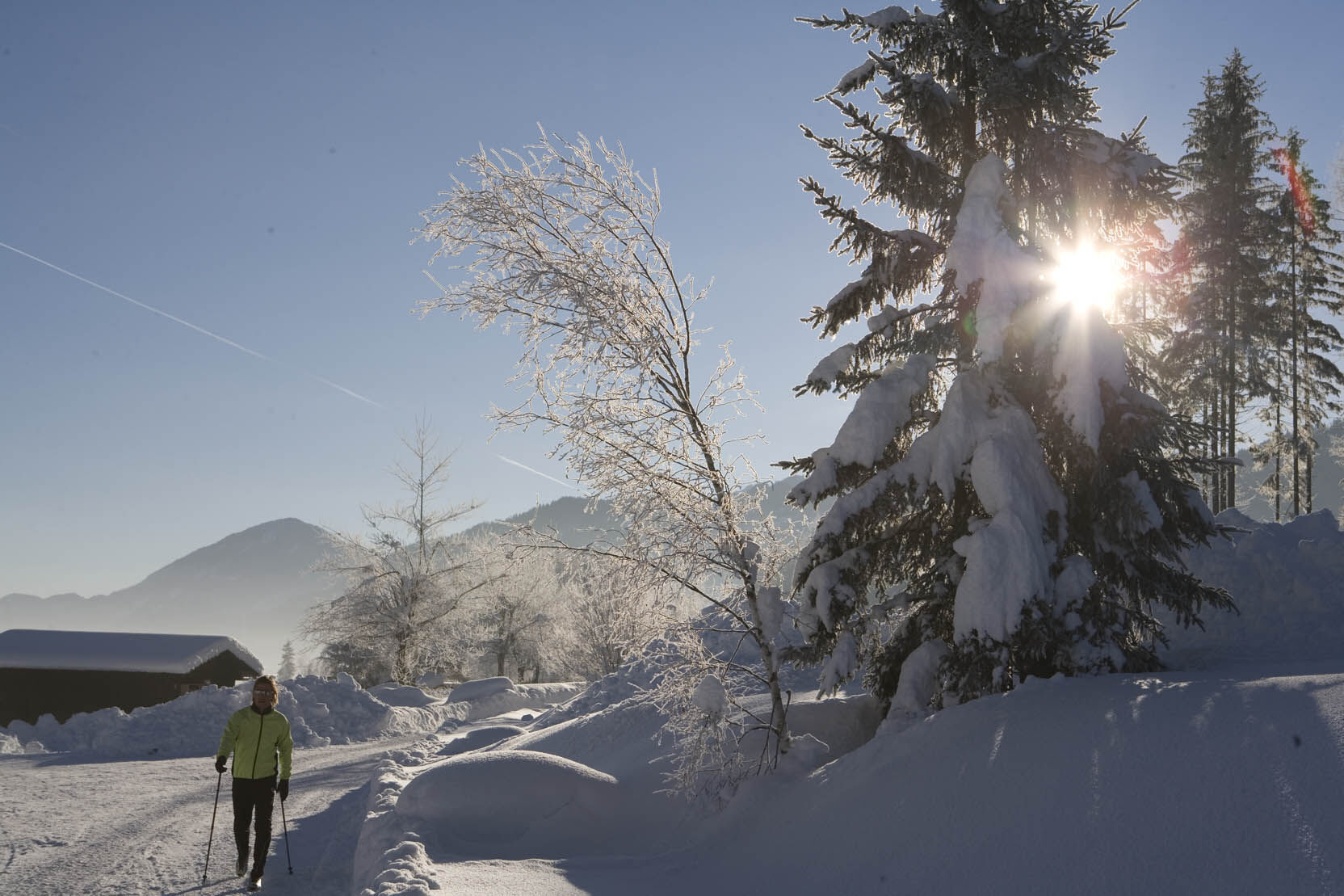
© Weissensee Information - CC BY-ND-NC Lammerhuber

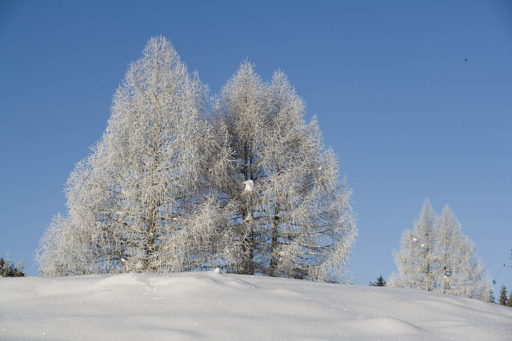
© Weissensee Information - CC BY-ND-NC Weissensee Info

© Weissensee Information - CC BY-ND-NC Weissensee Info

- Brief description
-
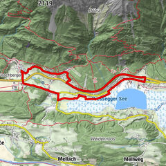
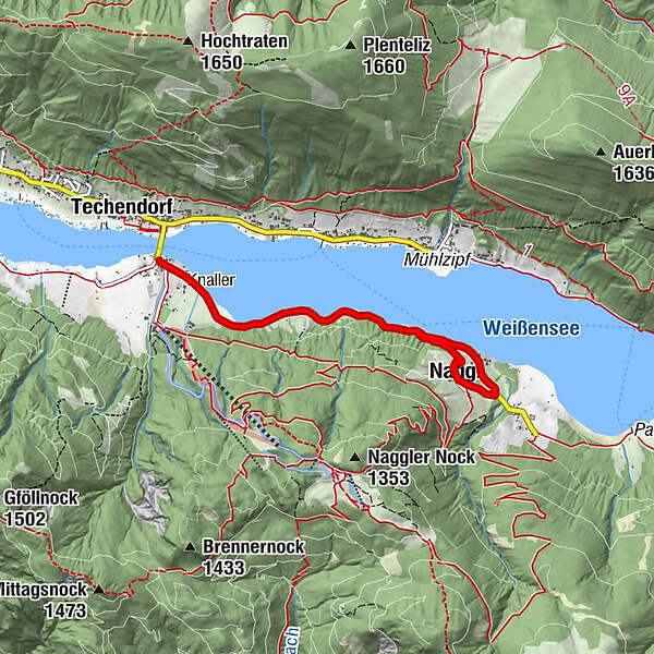
Herrliche, gemütliche Tour entlang südlich des Weissensees in Richtung Osten.
- Difficulty
-
medium
- Rating
-
- Route
-
TechendorfSchattseite0.0 kmNaggl2.9 kmNagglerhof3.1 km
- Best season
-
AugSepOctNovDecJanFebMarAprMayJunJul
- Highest point
- 992 m
- Endpoint
-
Unternaggl
- Height profile
-


- Author
-
The tour Techendorf-Obernaggl-Unternaggl is used by outdooractive.com provided.
GPS Downloads


General info
Refreshment stop
A lot of view
Other tours in the regions