© NLW Tourismus Marketing GmbH - Tourismusinfo Nassfeld-Pressegger See
- Brief description
-
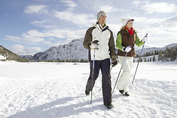
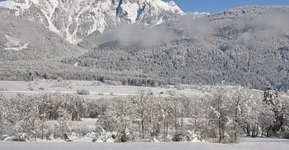
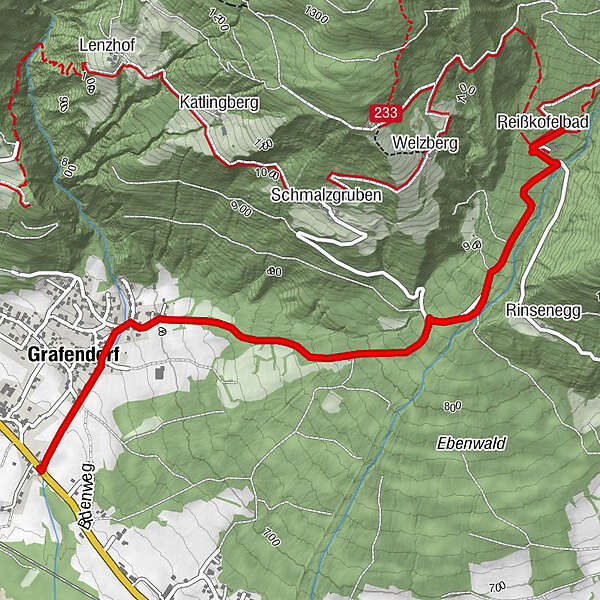
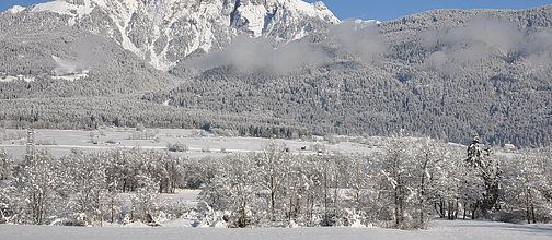
Winterwanderung von Grafendorf über die Gemeindestraße zum Reißkofelbad.
- Difficulty
-
easy
- Rating
-
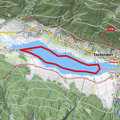
- Route
-
Grafendorf0.5 kmReißkofelbad3.5 km
- Best season
-
AugSepOctNovDecJanFebMarAprMayJunJul
- Highest point
- 1,007 m
- Endpoint
-
Reißkofelbad
- Height profile
-

- Author
-
The tour Grafendorf - Reißkofelbad is used by outdooractive.com provided.
GPS Downloads


Other tours in the regions