- Brief description
-
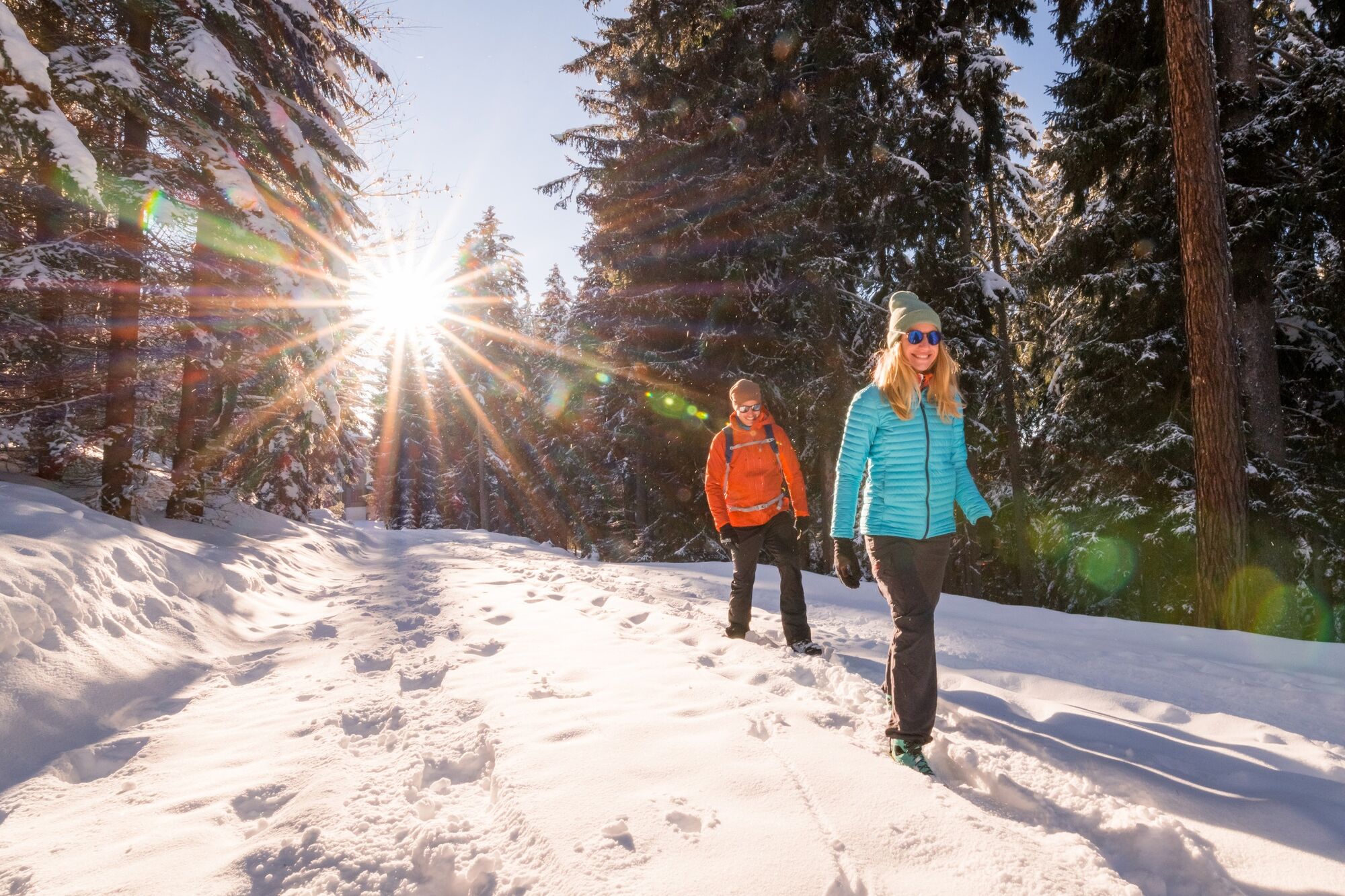
A relatively flat, comfortable and sunny winter hiking trail on the Gerlitzen. Of course, you can also just walk some sections of the trail (e.g. Pöllingerhütte-Steinerner Tisch or Hotel Feuerberg-Kammerhütte etc.).
- Difficulty
-
medium
- Rating
-
- Starting point
-
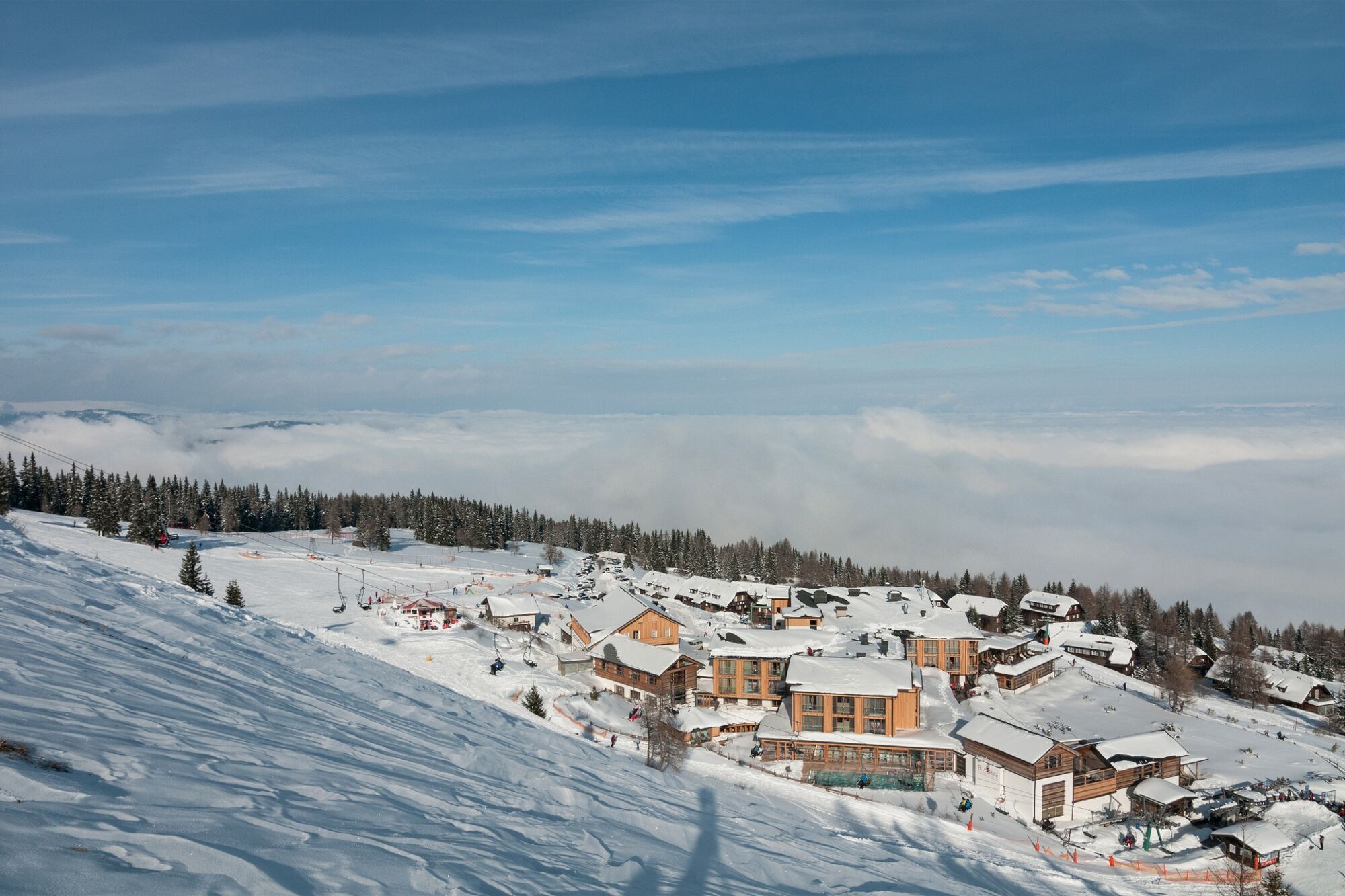
You can enter the hiking tour at several different places. If you take the pulpit rail "Kanzelbahn", then we would recommend the Pöllingerhütte as your starting point. There are two ways to get there. You can either walk on the hiking trails No. 4, 34 and No. 33, or you can take the chairlift up to Prinzhütte and then the one to the Pöllingerhütte.
- Route
-
Schönfeldsiedlung0.8 kmPöllinger Hütte2.4 kmKammerhütte3.6 kmGerlitzenhütte (1,580 m)4.7 kmGerlitzenhütte (1,580 m)7.2 kmKammerhütte8.3 kmPöllinger Hütte9.5 kmSchönfeldsiedlung11.1 km
- Best season
-
AugSepOctNovDecJanFebMarAprMayJunJul
- Description
-
There are several places where you can start this winter hike. The prepared trail leads from Hotel Feuerberg via Schönfeldsiedlung to Pöllingerhütte and from there to Kammerhütte (both managed). Then it goes on for approx. 1.8 kilometres to the so called Steinernen Tisch. Enjoy the wonderful winter world on the Gerlitzen Alpe as well as Carinthian delicacies in the huts!
- Directions
-
From Hotel Feuerberg, the prepared trail leads along hiking trail no. 7 to Schönfeldsiedlung - where you turn right following trail no. 33 towards Pöllingerhütte. Shortly before this you have to cross the slope - please be careful! After a stopover at the Pöllingerhütte, continue north along hiking trail no. 5 to the Kammerhütte. After the Kammerhütte, follow hiking trail no. 45 downhill for approx. 200 metres, then follow hiking trail no. 41 northwest. This leads to the Schlossbauer Alm, after which you follow hiking trail no. 62 to the Steinernen Tisch. The way back leads over the same distance - whereby the Kammerhütte offers itself for a short culinary stop.
- Highest point
- 1,764 m
- Endpoint
-
Steinerner Tisch
- Height profile
-

- Equipment
-
Good footwear and winter clothes or change of clothes (snowshoes, walking sticks).
- Safety instructions
-
Shortly before the Pöllingerhütte you have to cross the ski slope - please be careful and pay attention to the skiers and snowboarders.
- Tips
-
This hike partly leads along the "Kostale Weg" on which you can try Carinthian Kostalan (small culinary delicacies), for example at the Pöllingerhütte.
- Additional information
- Directions
-
Via the B84 Ossiacher See Straße from Villach to Bodensdorf, shortly after the Billa branch turn left and via the toll road Gerlitzenstraße to the Bergeralm.
- Public transportation
-
With the S2 line of the ÖBB you can easily reach the station Annenheim - from there it is only a few meters to the Gerlitzen Kanzelbahn. From the middle station you can reach the winter hiking trail in about 20 minutes in the direction of Pöllinger Hütte.
- Parking
-
Enough parking spaces are available on the Bergeralm below the Mountain and Spa Resort Feuerberg.

- Author
-
The tour Panoramic Winter Hike (Berger Alm - Steinerner Tisch) is used by outdooractive.com provided.