© MBN Tourismusmanagement GmbH - Martina Lecher

© MBN Tourismusmanagement GmbH - Martina Lecher


- Brief description
-
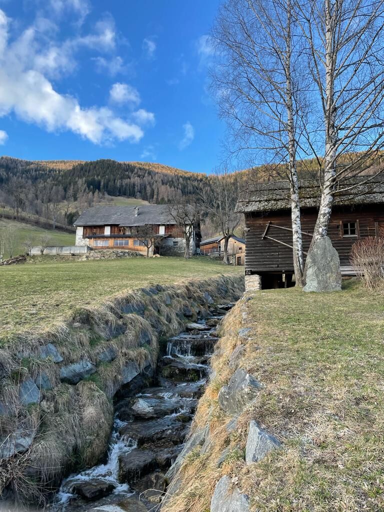
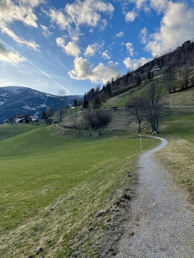
Der Sonnenweg führt vom Hotel Trattlerhof über die sonnige Hangseite bis zum Thermal Römerbad. Wunderschöner, aussichtsreicher Spazierweg, der für Jung und Alt geeignet ist.
- Difficulty
-
medium
- Rating
-
- Starting point
-
Hotel Trattlerhof
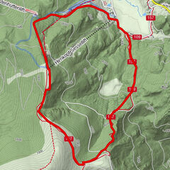
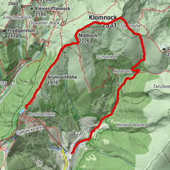
- Route
-
Bach0.9 kmAigen1.6 kmEvangelische Kirche Bad Kleinkirchheim2.4 kmSankt Ulrich Kirche3.0 kmBad Kleinkirchheim3.1 kmZirkitzen4.3 kmRottenstein5.7 km
- Best season
-
JanFebMarAprMayJunJulAugSepOctNovDec
- Directions
-
150 m difference in altitude, walking time: approx. 1.5 hrs. Starting point opposite Hotel Trattlerhof, in the sun through meadows to the Oswaldbach stream. Carry on above Hotel Almrausch, approx. 150 metres following the stream upwards, then through a little wood past the St. Kathrein church. Keep going to the St. Oswalder Straße road and after 100 m turn right down to the Gutzingerhof farm and the evangelical church. Cross the St. Oswalder Straße, walk past the Hubermühle mill and on to the St. Ulrich church. The path leads further east behind the church in the middle of the hill. Go down the road for approx. 250 metres to the main road (bus stop). The skiing and thermal spa bus will take you back to the starting point.
Or return on foot (approx. 1 hr.): Follow the pavement in the direction of the Römerbad thermal spa, to the Kaiserburgbahn lift and on behind the Haus Hubertushof along the valley path, turn left up to the Harmony's Hotel Kirchheimerhof (alternatively carry on alongside the stream). Follow the Maibrunnenweg path down to Hotel Kärntnerhof and then the valley path back to the starting point.
- Highest point
- 1,147 m
- Endpoint
-
Thermal spa Römerbad
- Height profile
-

- Author
-
The tour WW 09: Bad Kleinkirchheim - Sonnenweg is used by outdooractive.com provided.
GPS Downloads


General info
Refreshment stop
A lot of view
Other tours in the regions