© Hohe Tauern - die Nationalpark-Region in Kärnten Tourismus GmbH - Bernhard Graessl

© Hohe Tauern - die Nationalpark-Region in Kärnten Tourismus GmbH - Bernhard Graessl

© Hohe Tauern - die Nationalpark-Region in Kärnten Tourismus GmbH - Bernhard Graessl

© Hohe Tauern - die Nationalpark-Region in Kärnten Tourismus GmbH - Bernhard Graessl

© Hohe Tauern - die Nationalpark-Region in Kärnten Tourismus GmbH - Bernhard Graessl

© Hohe Tauern - die Nationalpark-Region in Kärnten Tourismus GmbH - Bernhard Graessl

© Hohe Tauern - die Nationalpark-Region in Kärnten Tourismus GmbH - Bernhard Graessl

© Hohe Tauern - die Nationalpark-Region in Kärnten Tourismus GmbH - Bernhard Graessl

© Hohe Tauern - die Nationalpark-Region in Kärnten Tourismus GmbH - Bernhard Graessl

© Hohe Tauern - die Nationalpark-Region in Kärnten Tourismus GmbH - Bernhard Graessl
Tour data
3.4km
1,109
- 1,282m
6hm
162hm
01:30h

- Brief description
-
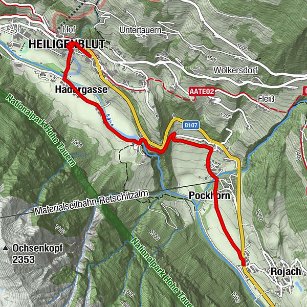
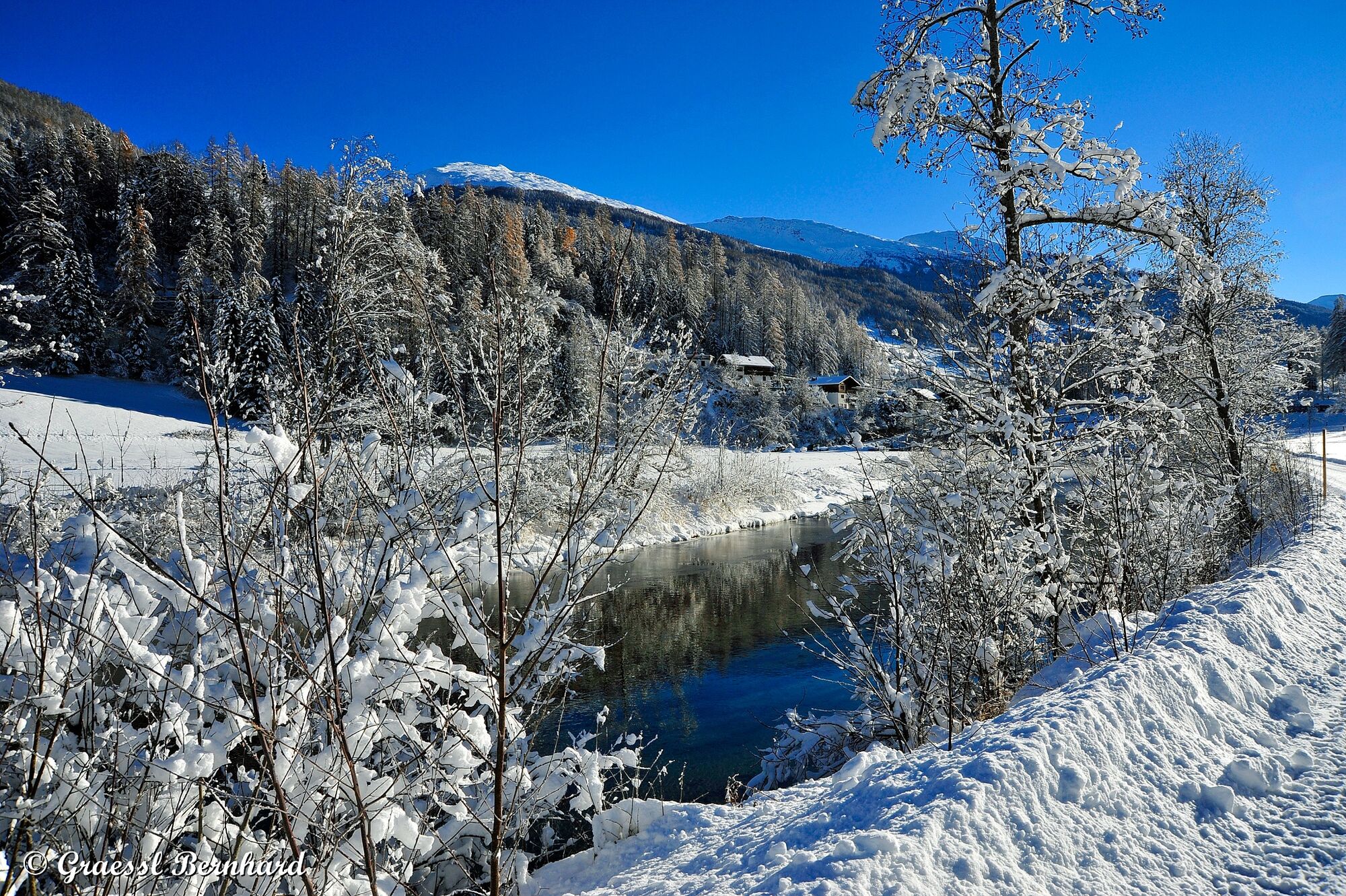
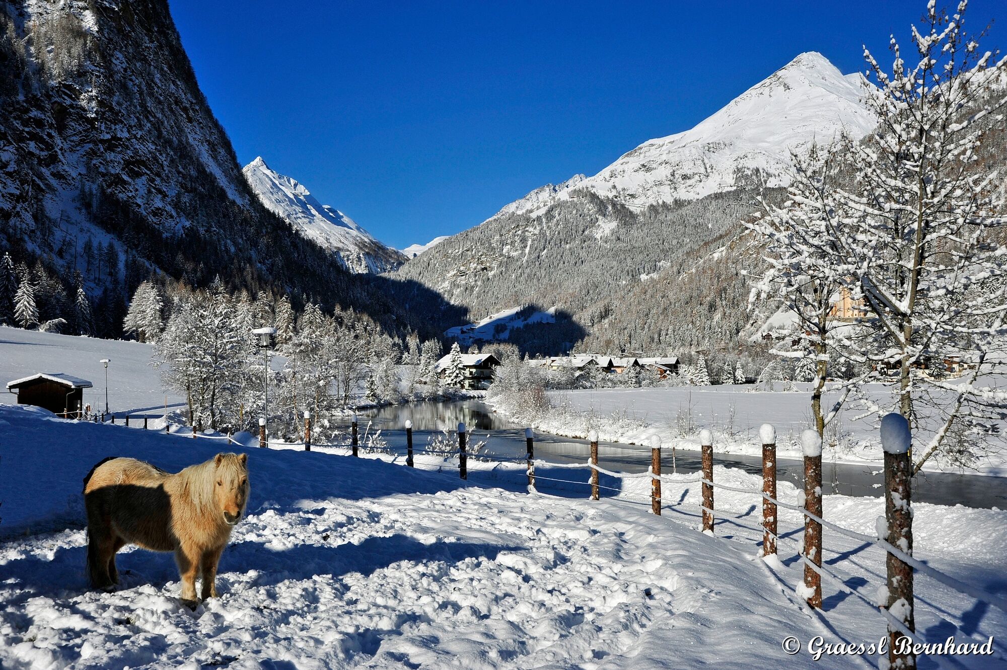
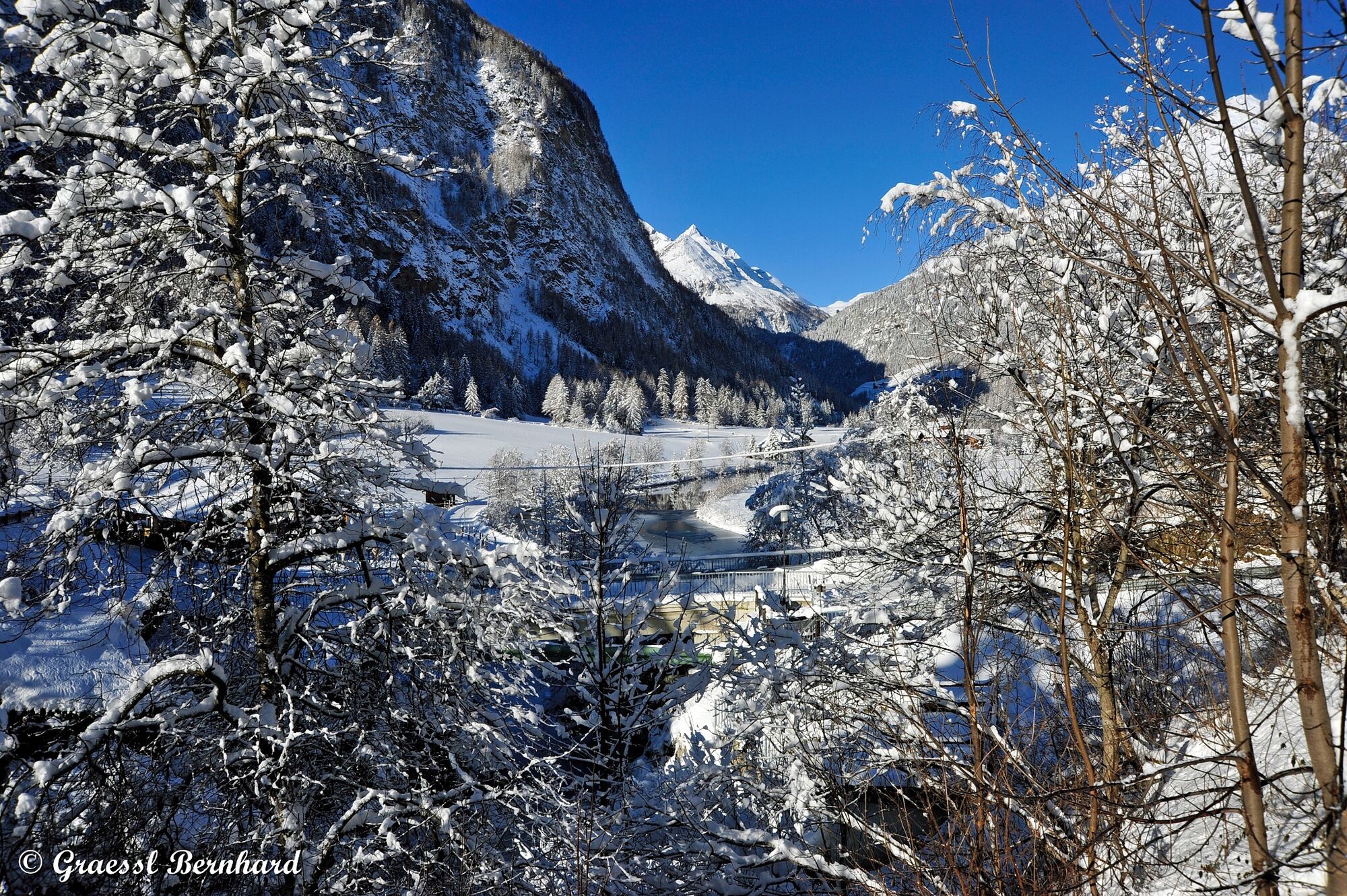
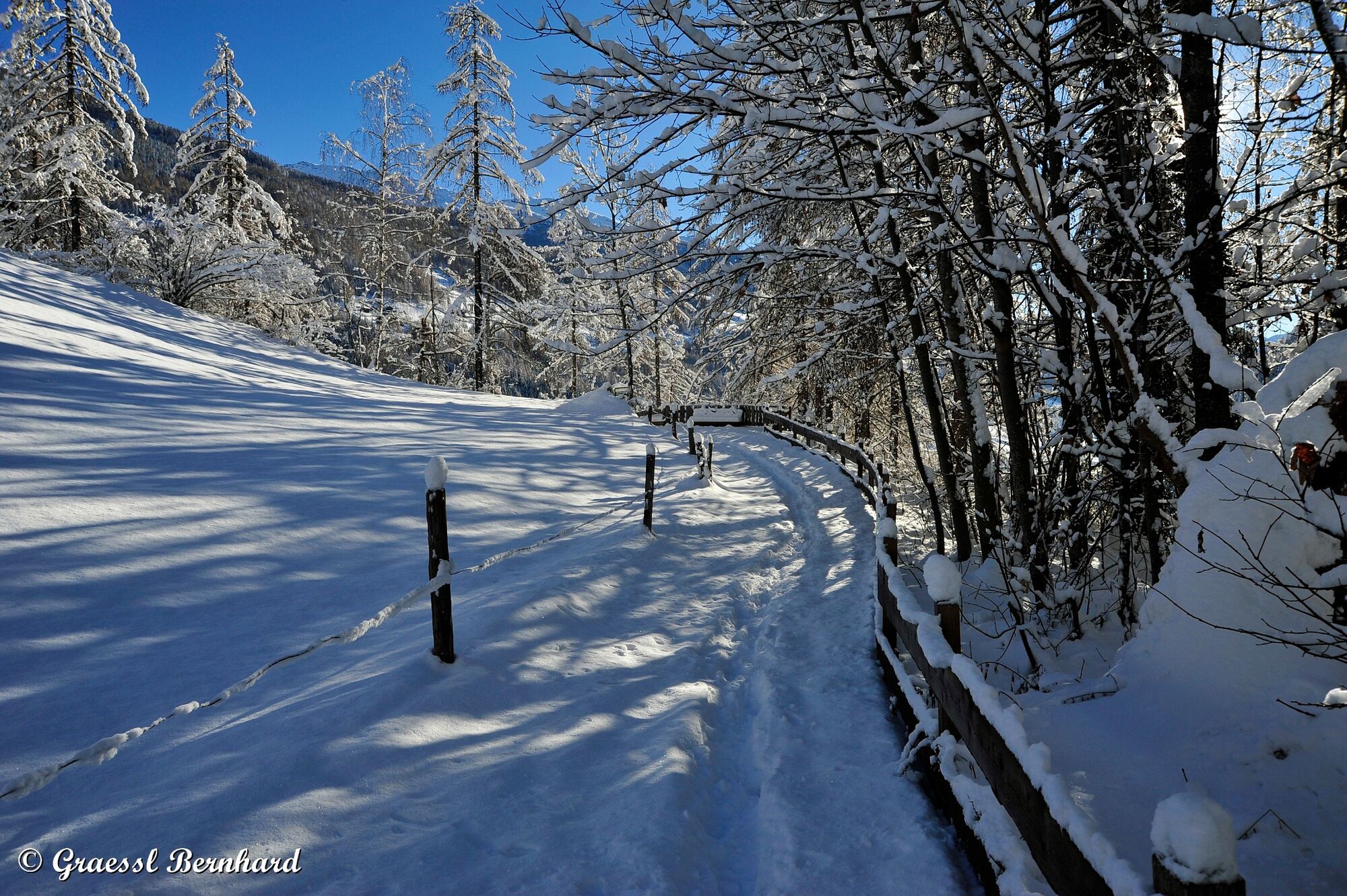
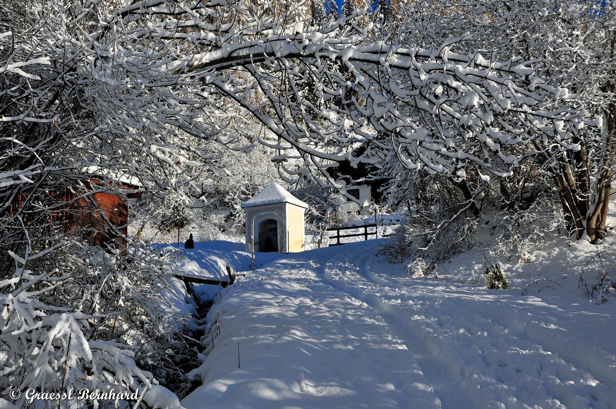
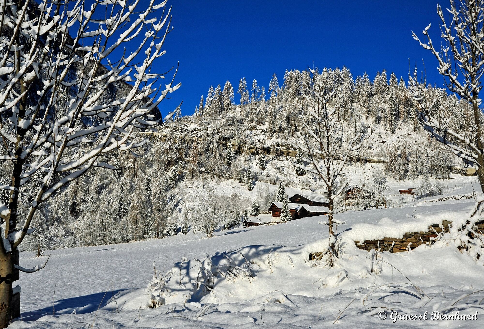
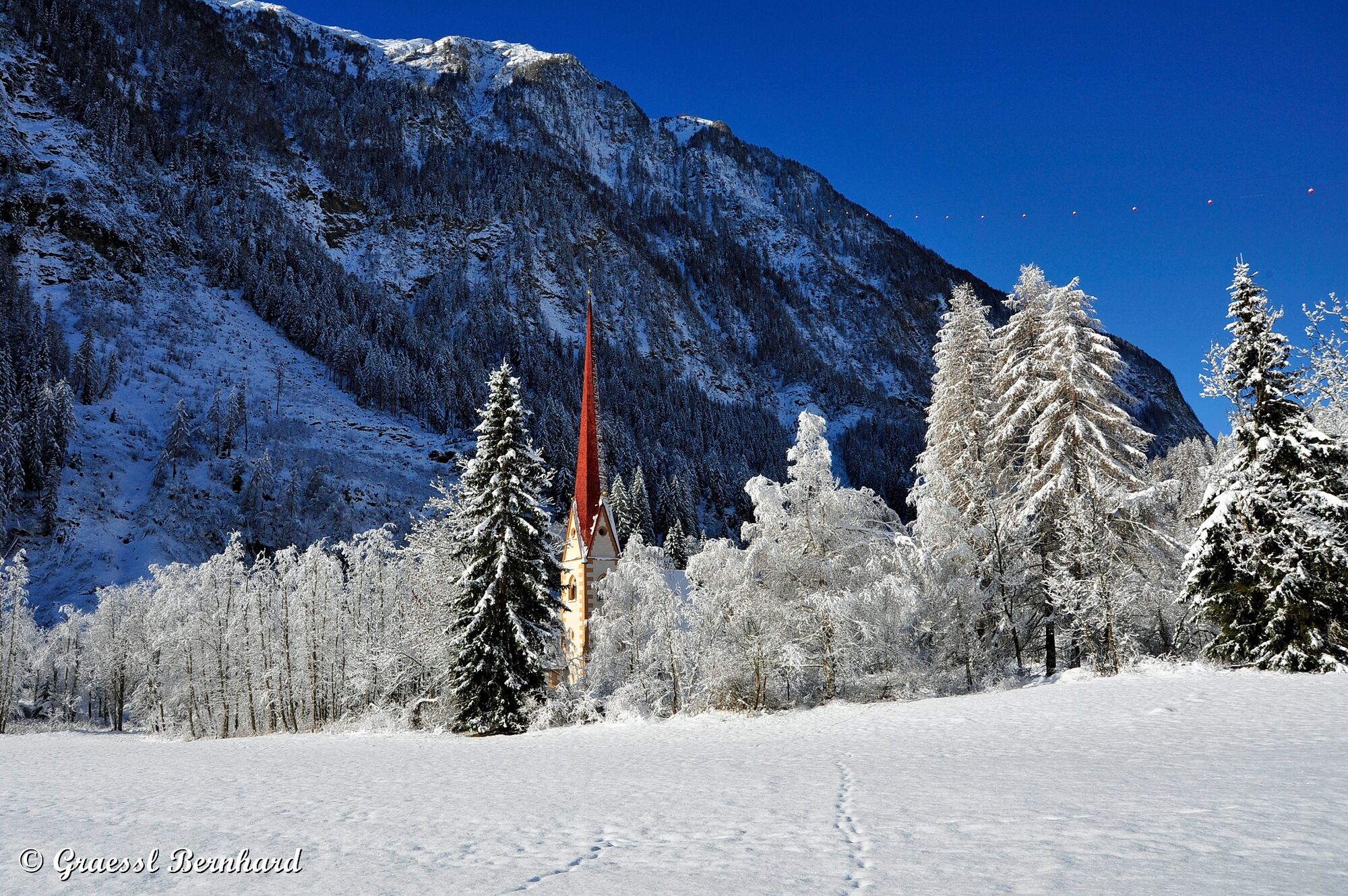
Idyllische Winter-Wanderung entlang der Hadergasse Richtung Weiler Pockhorn mit seiner Filialkirche St. Martin.
- Difficulty
-
medium
- Rating
-
- Route
-
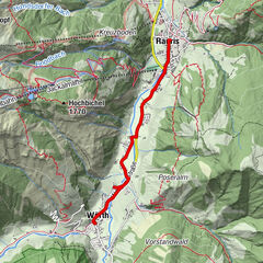
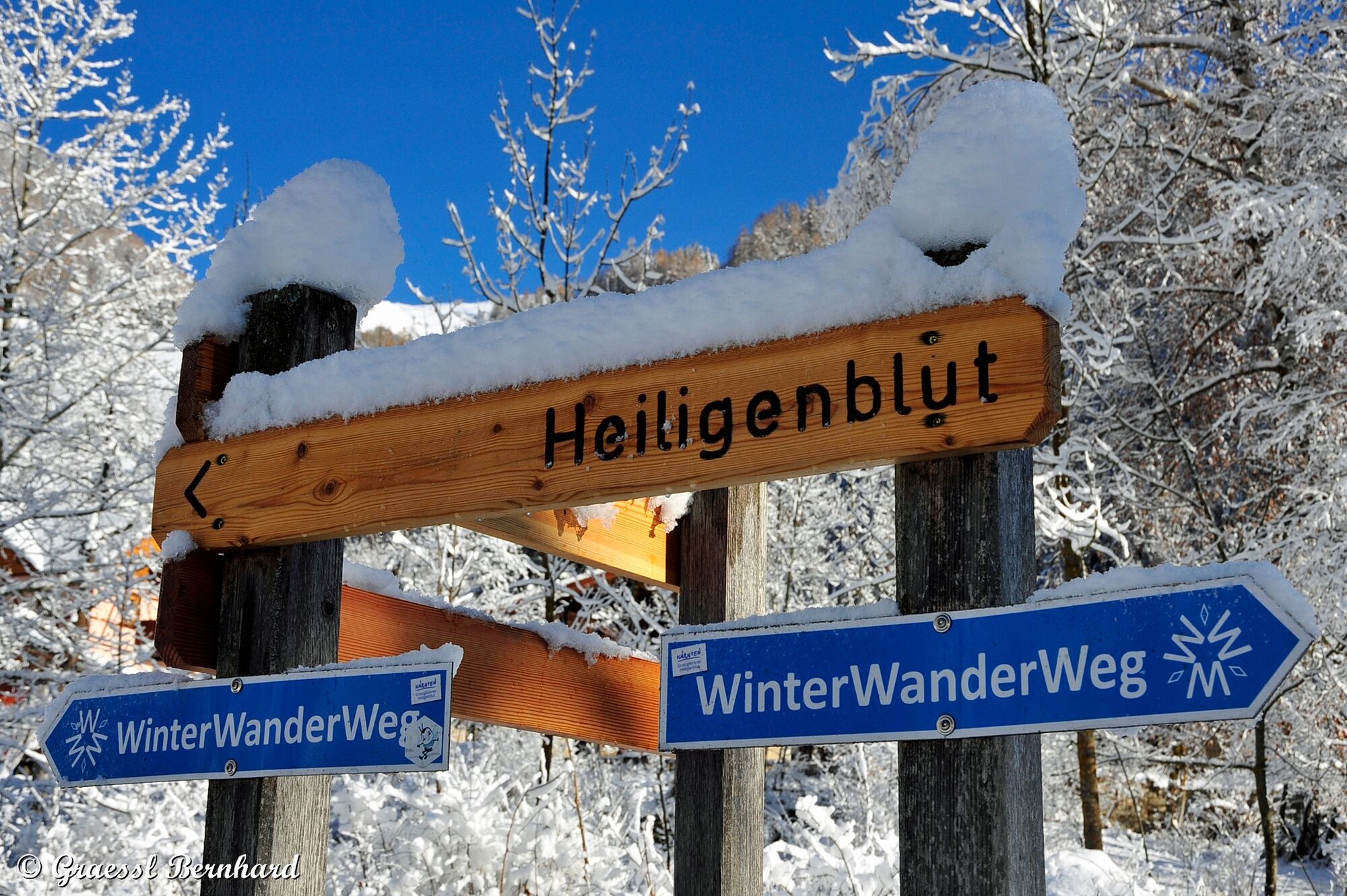
Kirche und Großglockner0.1 kmRupertihaus0.1 kmHof0.2 kmHeiligenblut0.3 kmHadergasse0.8 kmMaria-Lourdes-Kapelle1.6 kmMöllfall1.6 kmPockhorn2.7 kmRojach3.2 km
- Best season
-
AugSepOctNovDecJanFebMarAprMayJunJul
- Highest point
- 1,282 m
- Endpoint
-
Pockhorn, Tankstelle KFZ Kramser
- Height profile
-


- Author
-
The tour Winterwanderweg Pockhorn is used by outdooractive.com provided.
GPS Downloads


General info
Refreshment stop
Other tours in the regions