© Michael Kleinsasser

© Michael Kleinsasser

© Michael Kleinsasser
Tour data
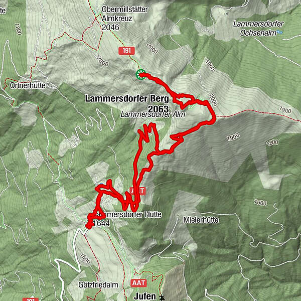
7.6km
1,640
- 2,065m
394hm
351hm
03:26h
- Brief description
-
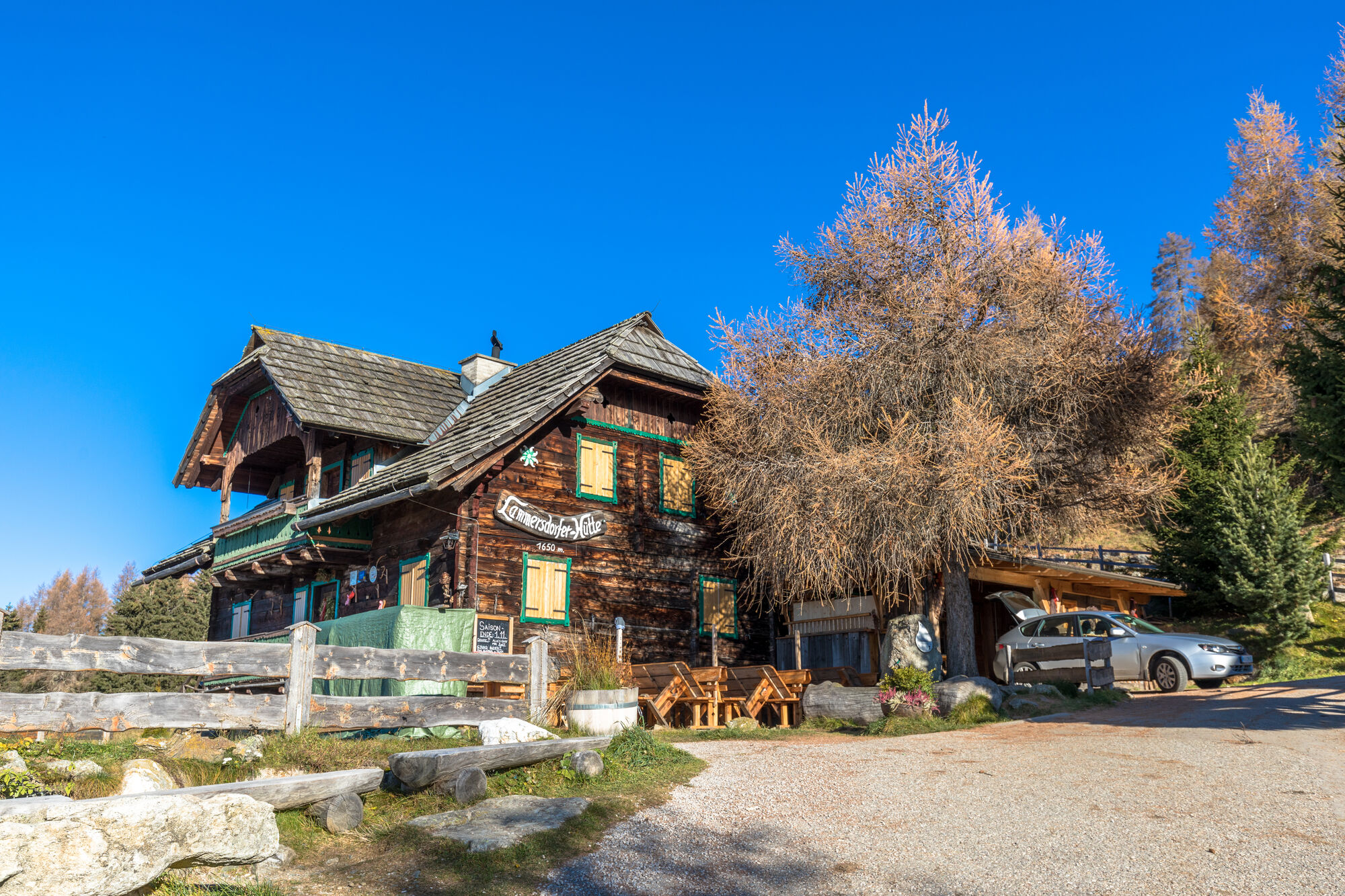
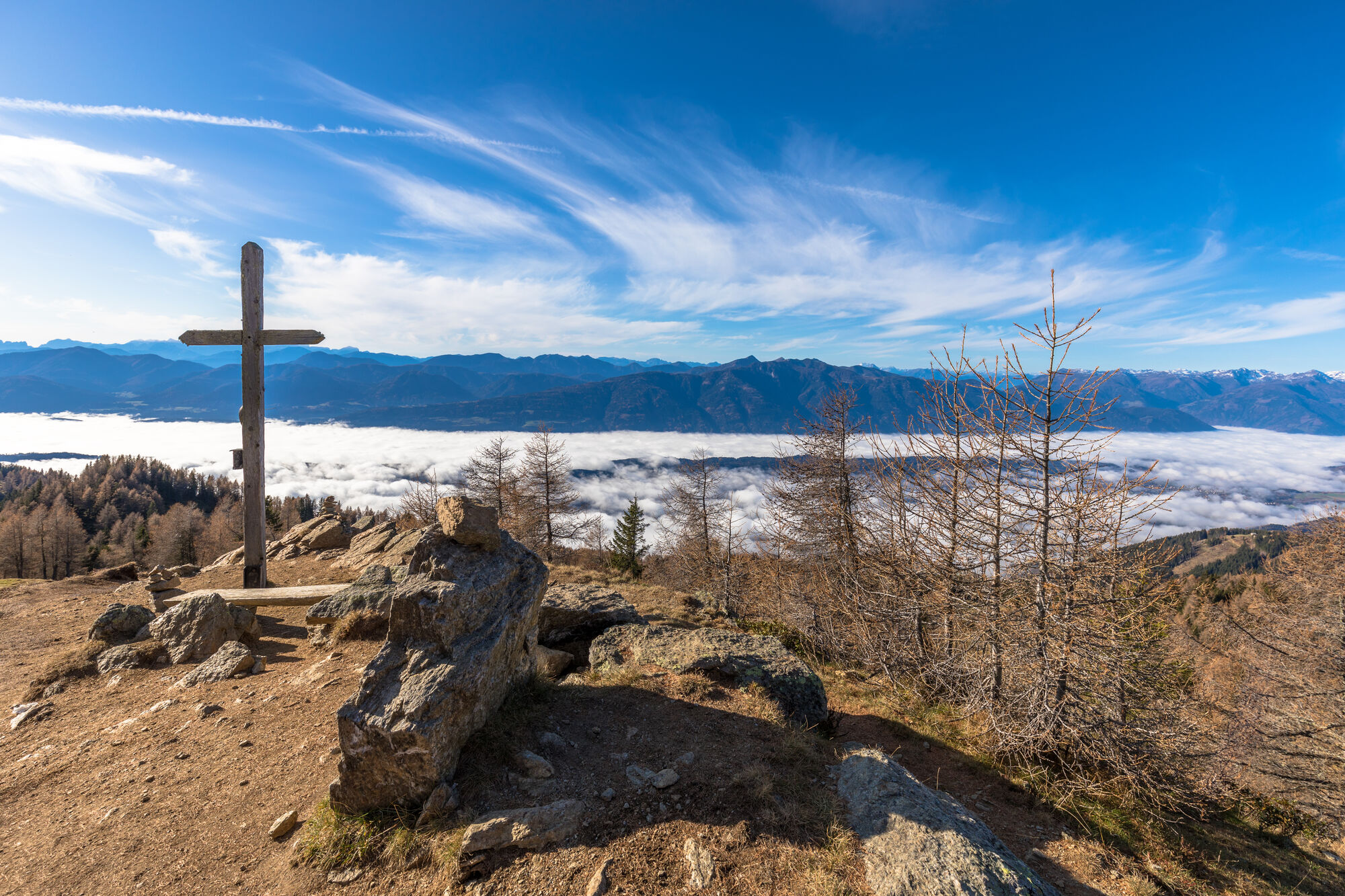
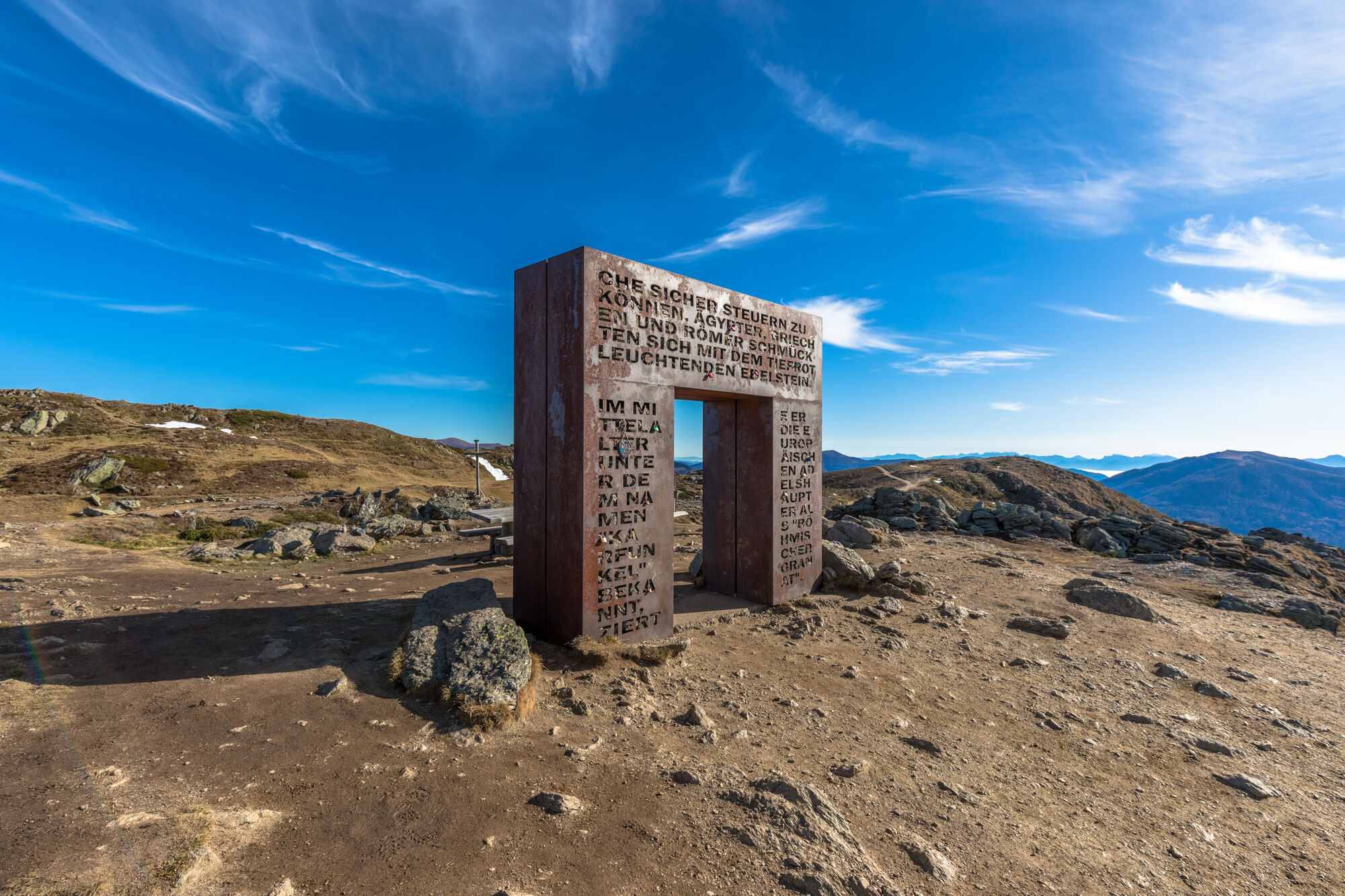
Von der Lammersdorferhütte (Maut im Sommer) übern Enziansteig zum Stanamandl und weiter zum Granattor - Fast gleich retour aber am Normalweg
- Difficulty
-
medium
- Rating
-
- Route
-
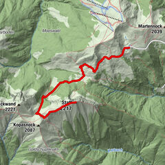
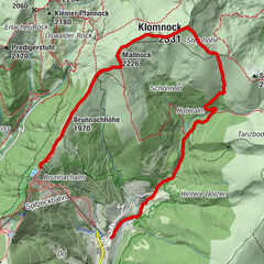
Lammersdorfer Hütte0.1 kmLammersdorfer Berg (2,063 m)2.6 kmGranattor3.1 kmLammersdorfer Hütte7.5 km
- Best season
-
JanFebMarAprMayJunJulAugSepOctNovDec
- Highest point
- Granattor (2,065 m)
- Source
- Mike
GPS Downloads


Trail conditions
Asphalt
Gravel
Meadow
Forest
Rock
Exposed
Other tours in the regions