© TVB Lesachtal - Franz Gerdl
© TVB Lesachtal - www.tinefoto.com
© TVB Lesachtal - www.tinefoto.com
© TVB Lesachtal - www.tinefoto.com

- Brief description
-
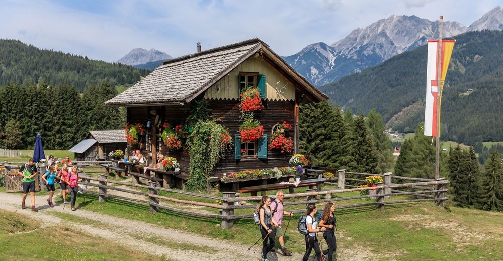
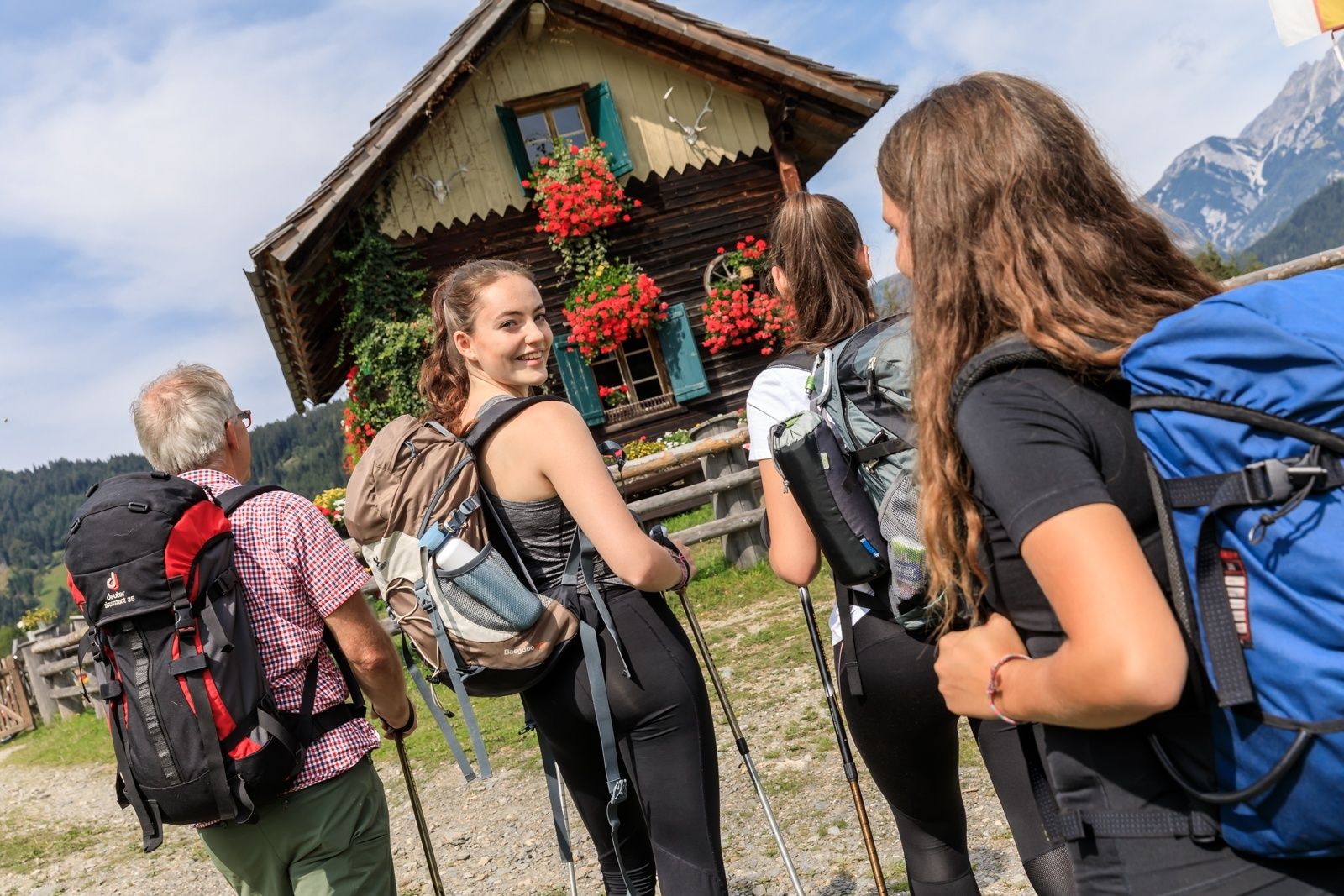
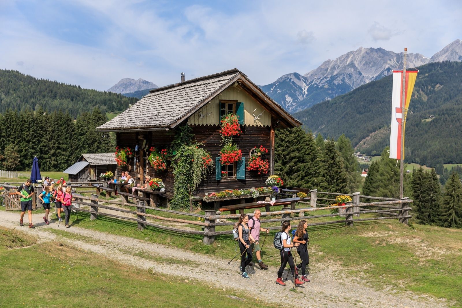
beliebte Rundwanderung entlang des Brot- und Morendenweges
- Difficulty
-
medium
- Rating
-
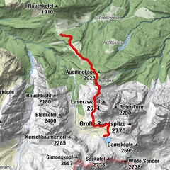
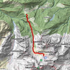
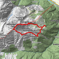
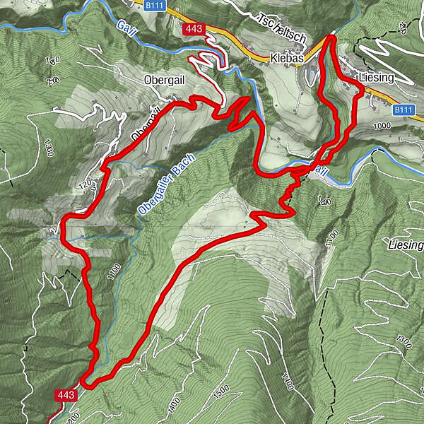
- Route
-
LiesingPfarrkirche Heiliger Nikolaus0.0 kmMühlenstüberl4.1 kmLahnerhof5.0 kmObergail5.3 kmKapelle Obergail5.5 kmGasthaus Wilhelmer8.7 kmPfarrkirche Heiliger Nikolaus8.7 kmLiesing8.8 km
- Best season
-
JanFebMarAprMayJunJulAugSepOctNovDec
- Highest point
- 1,189 m
- Endpoint
-
Liesing im Lesachtal
- Height profile
-


- Author
-
The tour Liesing - Steineckenalm - Obergail - Liesing is used by outdooractive.com provided.
GPS Downloads


General info
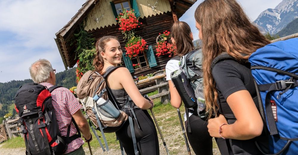
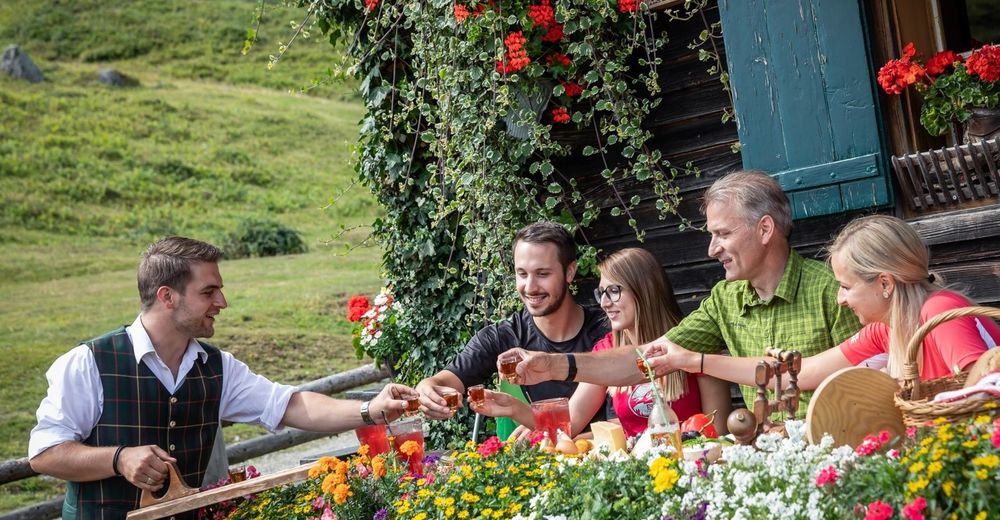
Refreshment stop
Other tours in the regions