


- Brief description
-
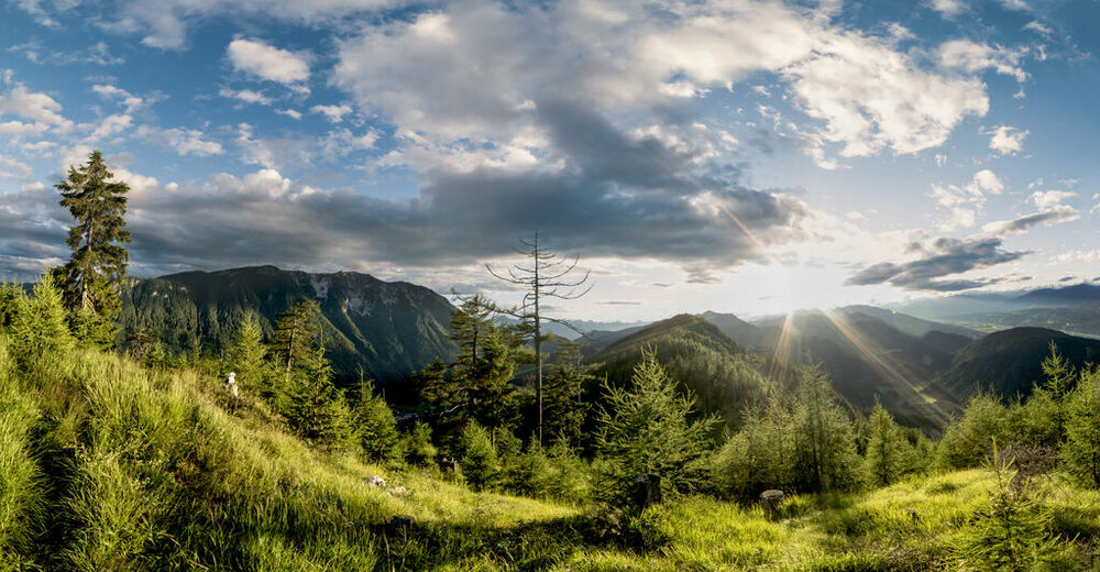
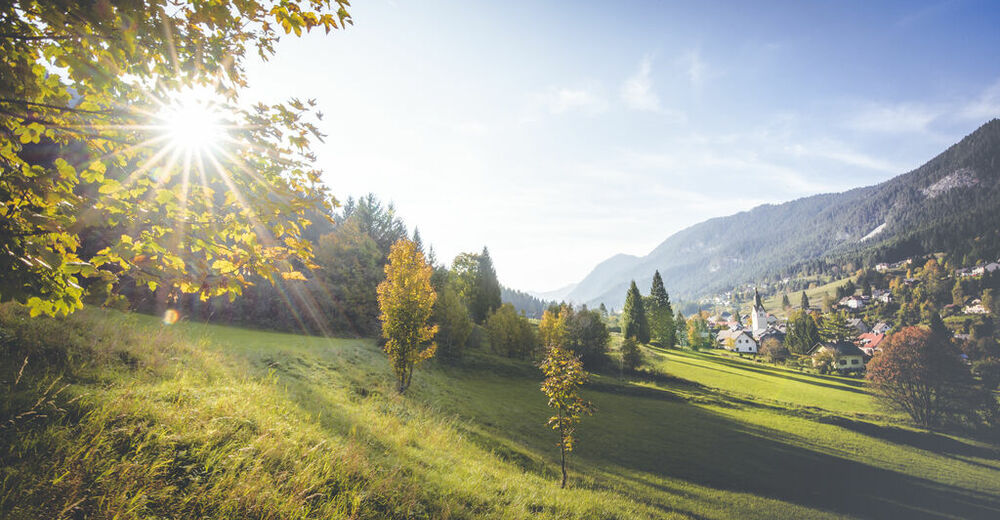
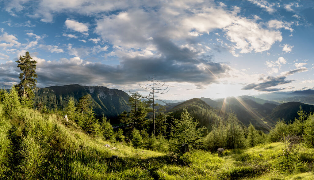
1,341 meters of altitude - great for hikers with stamina. A quiet and breathtaking tour, including a summit experience on 2,166 m!
- Difficulty
-
difficult
- Rating
-
- Starting point
-
Bad Bleiberg
- Route
-
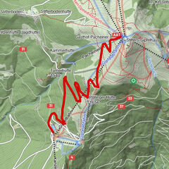
Bad Bleiberg (902 m)Alpenlahner2.1 kmDobratsch Gipfelhaus3.9 kmHl. Maria am Stein4.0 kmDobratsch (2,166 m)4.2 kmKapelle Mariä Himmelfahrt4.2 kmAlpenlahner6.3 kmBad Bleiberg (902 m)8.3 km
- Best season
-
JanFebMarAprMayJunJulAugSepOctNovDec
- Description
-
Steep and demaning alpine hiking tour from Bab Bleiberg to the summit of the Dobratsch.
- Directions
-
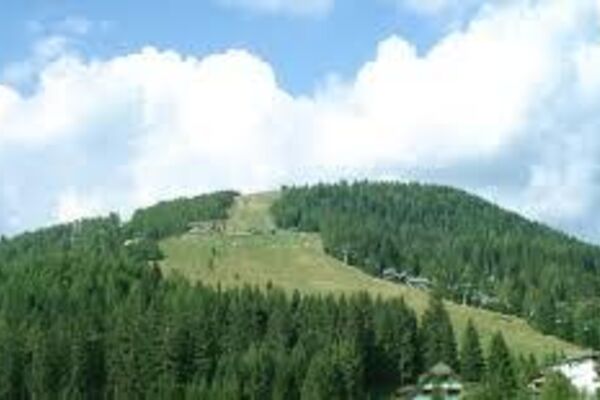
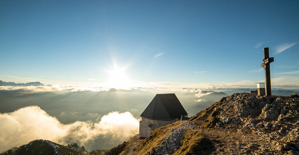
The starting point of this hiking trail is in Bad Bleiberg. Opposite the fire station and east of the cableway branches a rising path (route no. 295) to the south, up the Dobratsch. It leads over a meadow and after a short climb you walk past a small chapel. There the path leads into the woods, and goes slightly uphill. We cross a forest road and come in always steeper terrain. After a few bends and a very steep bit, we stay on the trail and come to a path, the so-called Alpenlahner. Continue through the treeless terrain. The last 200 meters in order to the exit the Alpenlahner are quite difficult because of the rocky ground. On nearly 2,000 meters above sea level, you reach the Dobratsch plateau and meet the path, leading up from the restaurant Rosstratte. Most hikers select this path as their way to the Dobratsch summit. Follow it in westerly direction for a few minutes up to the summit with its "Windische" chapel and a magnificent view of the Julian Alps with Triglav, Razor and Prisank and the Gailtal Alps. Follow the same way back to Bad Bleiberg.
- Highest point
- 2,138 m
- Endpoint
-
Bad Bleiberg
- Height profile
-

- Equipment
-
Trekking shoes, backpack , functional underwear, rainwear, hiking sticks , food and drinks, maps , first aid and mobile phone.
- Safety instructions
-
All tours on the Dobratsch are basically alpine hiking tours with specific alpine dangers ( fall of temperature, disorientation due to fog, thunderstorms etc.) Be careful!
- Tips
-
For typical Carinthian food visit the Rosstrattn restaurant.
- Additional information
- Directions
-
Take the road from Villach to Bad Bleiberg via Obere Fellach. Follow that road until you reach the tourist information in Bad Bleiberg!
- Public transportation
- Parking
-
There are enough parking spaces near the tourist information.


- Author
-
The tour Dobratsch Northern Ascent (Alpenlahner) is used by outdooractive.com provided.