

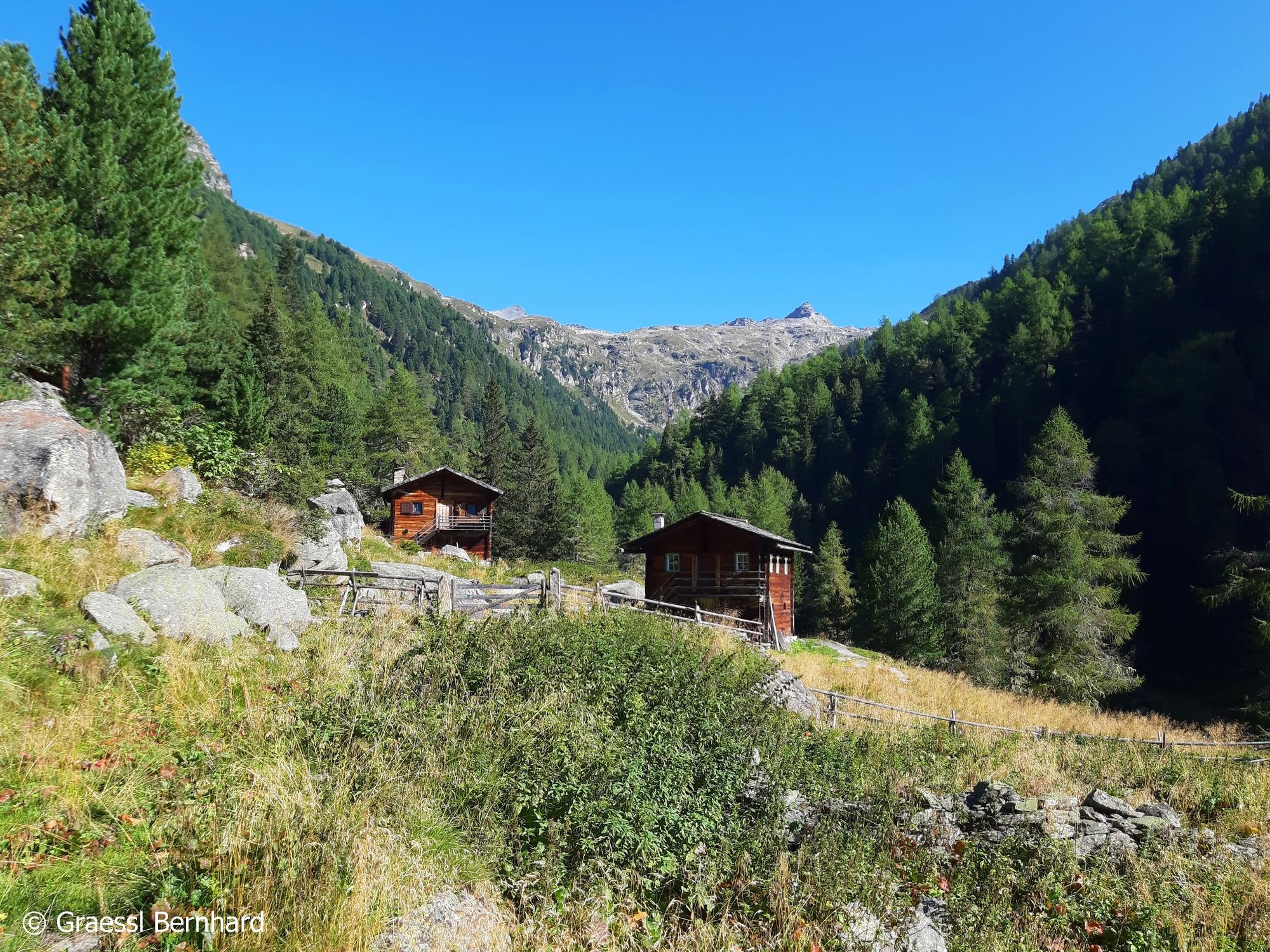
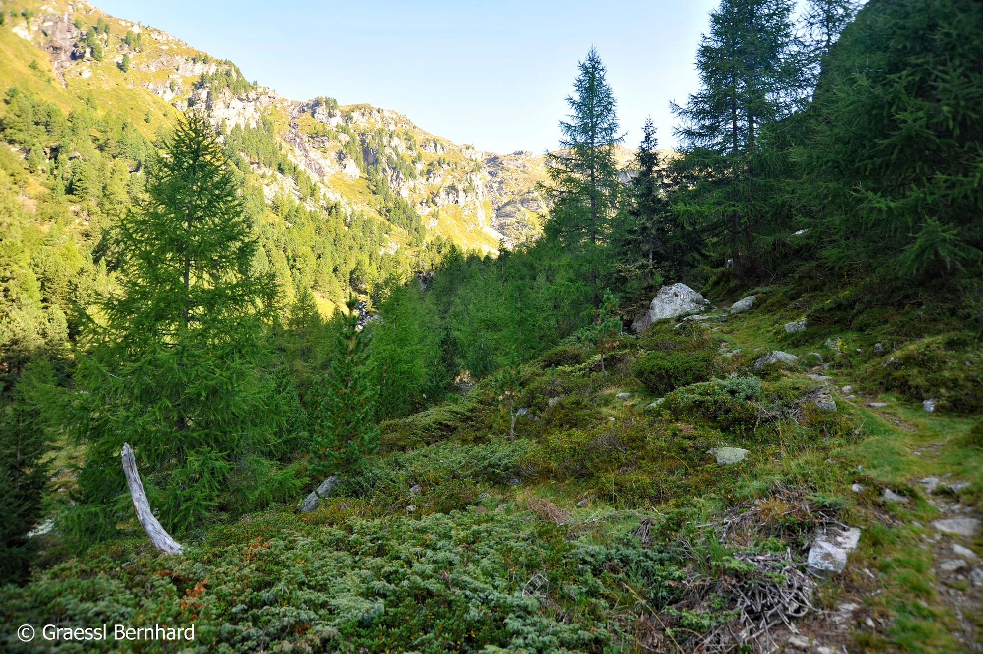
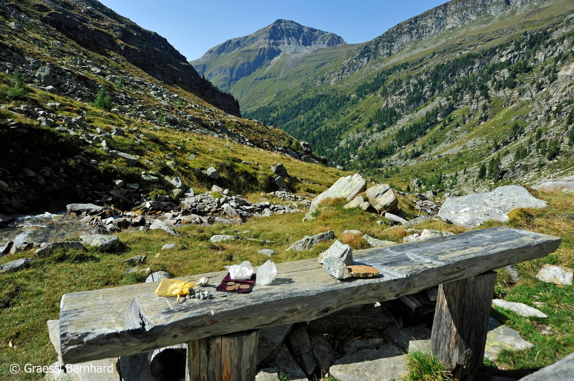
© Hohe Tauern - die Nationalpark-Region in Kärnten Tourismus GmbH - Bernd Grässl

© Hohe Tauern - die Nationalpark-Region in Kärnten Tourismus GmbH - Bernd Grässl

© Hohe Tauern - die Nationalpark-Region in Kärnten Tourismus GmbH - Bernd Grässl

© Hohe Tauern - die Nationalpark-Region in Kärnten Tourismus GmbH - Bernd Grässl

© Hohe Tauern - die Nationalpark-Region in Kärnten Tourismus GmbH - Bernd Grässl

© Hohe Tauern - die Nationalpark-Region in Kärnten Tourismus GmbH - Bernd Grässl

© Hohe Tauern - die Nationalpark-Region in Kärnten Tourismus GmbH - Bernd Grässl

© Hohe Tauern - die Nationalpark-Region in Kärnten Tourismus GmbH - Bernd Grässl

© Hohe Tauern - die Nationalpark-Region in Kärnten Tourismus GmbH - Nationalpark Region Hohe Tauern Kärnten

© Hohe Tauern - die Nationalpark-Region in Kärnten Tourismus GmbH - Nationalpark Region Hohe Tauern Kärnten
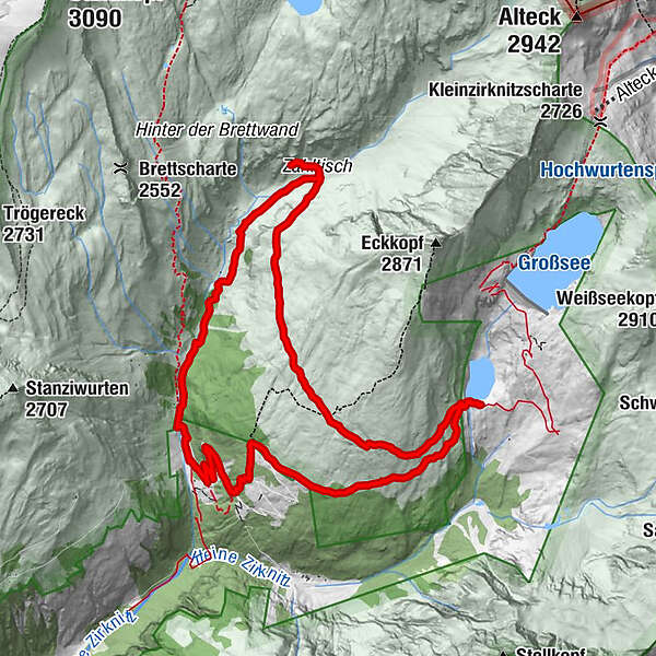
Tour data
12.34km
1,710
- 2,293m
542hm
559hm
04:25h

- Brief description
-
Ein wunderschöner Panoramarundweg mit unvergesslichen Eindrücken.
- Difficulty
-
medium
- Rating
-
- Route
-
Färberkaser10.0 km
- Best season
-
JanFebMarAprMayJunJulAugSepOctNovDec
- Highest point
- 2,293 m
- Endpoint
-
Parkplatz Großes Zirknitztal
- Height profile
-

- Author
-
The tour Wanderung zu den Goldschürfanlagen und zum Kegelsee is used by outdooractive.com provided.
GPS Downloads


Other tours in the regions


