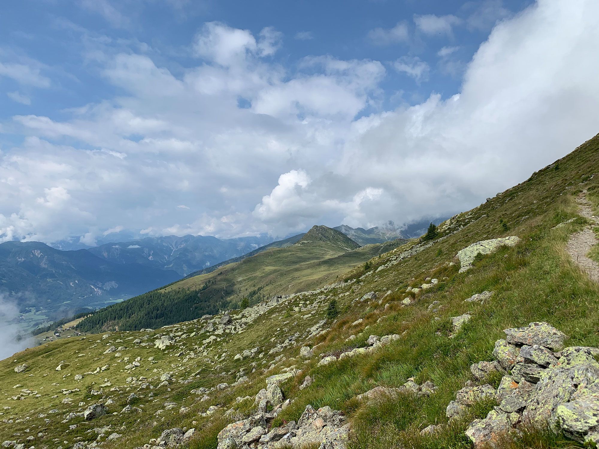
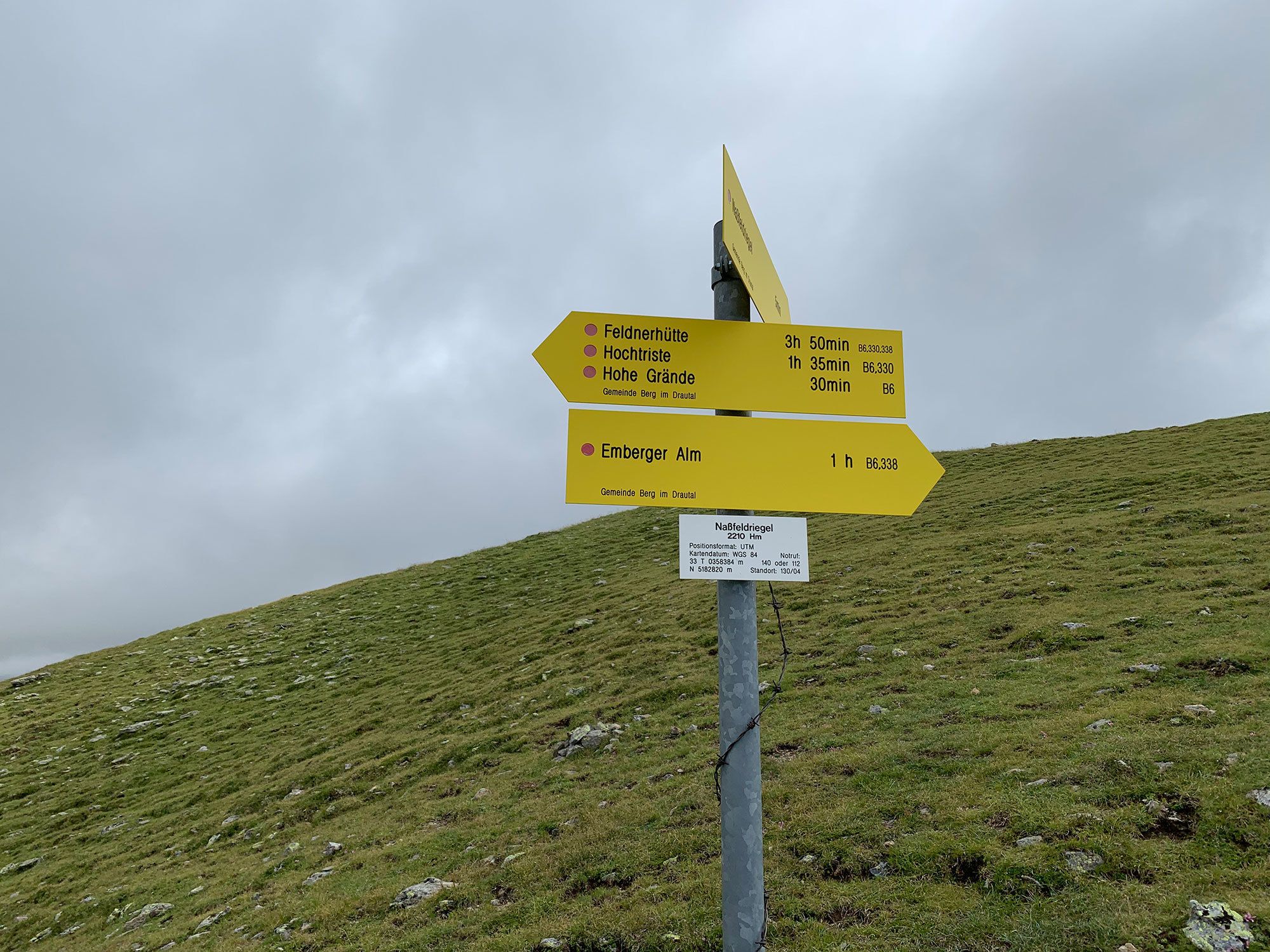
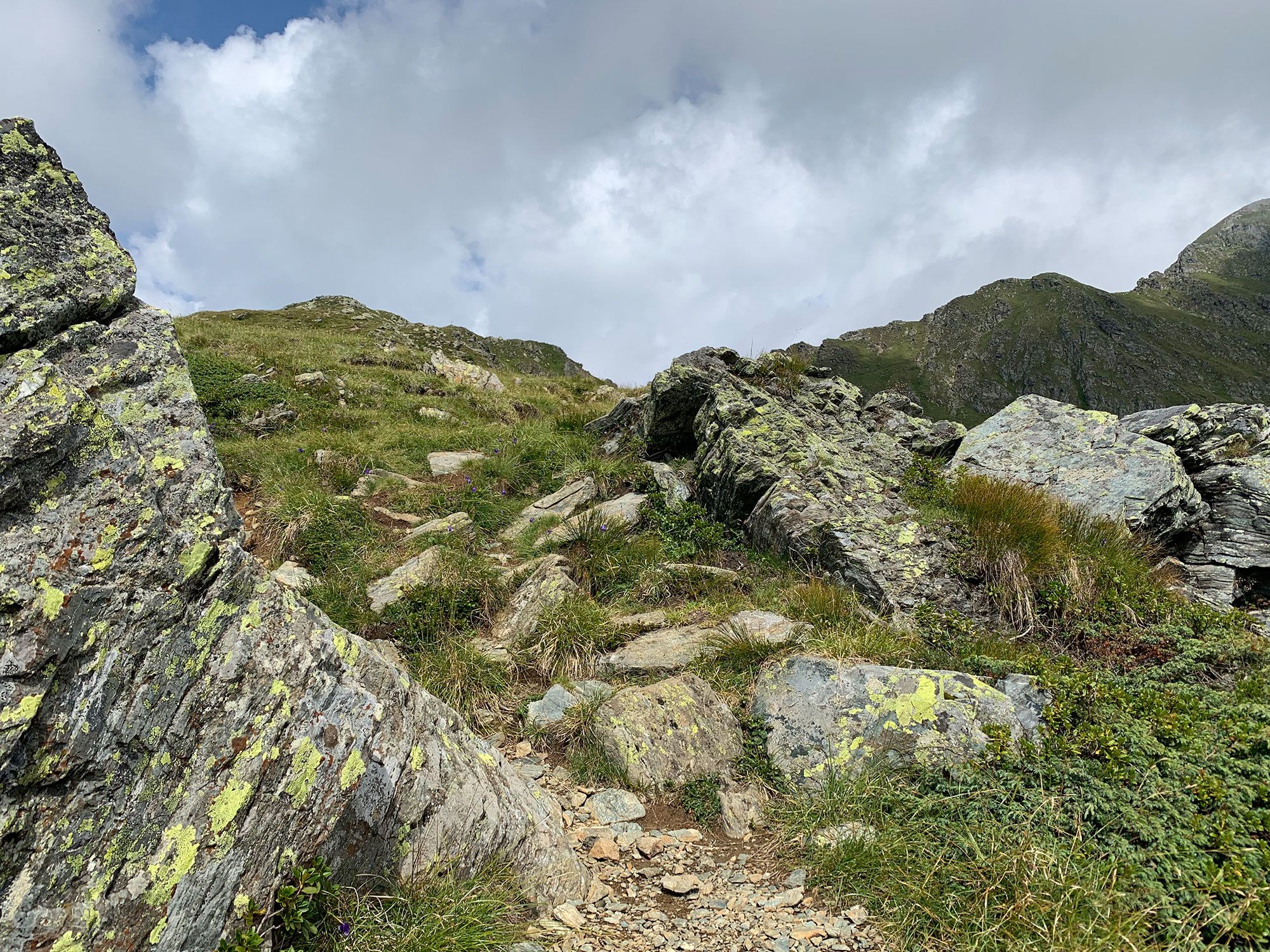
© Hotel Kreuzwirt - Franz Aigner

© Hotel Kreuzwirt - Franz Aigner

© Hotel Kreuzwirt - Franz Aigner

© Hotel Kreuzwirt - Franz Aigner

© Hotel Kreuzwirt - Franz Aigner

© Hotel Kreuzwirt - Franz Aigner

© Hotel Kreuzwirt - Franz Aigner

- Difficulty
-
medium
- Rating
-
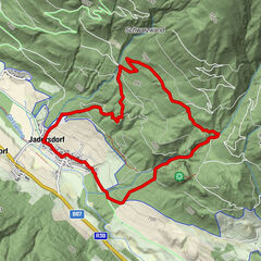
- Route
-
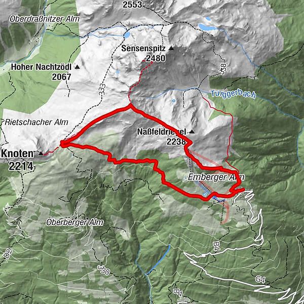
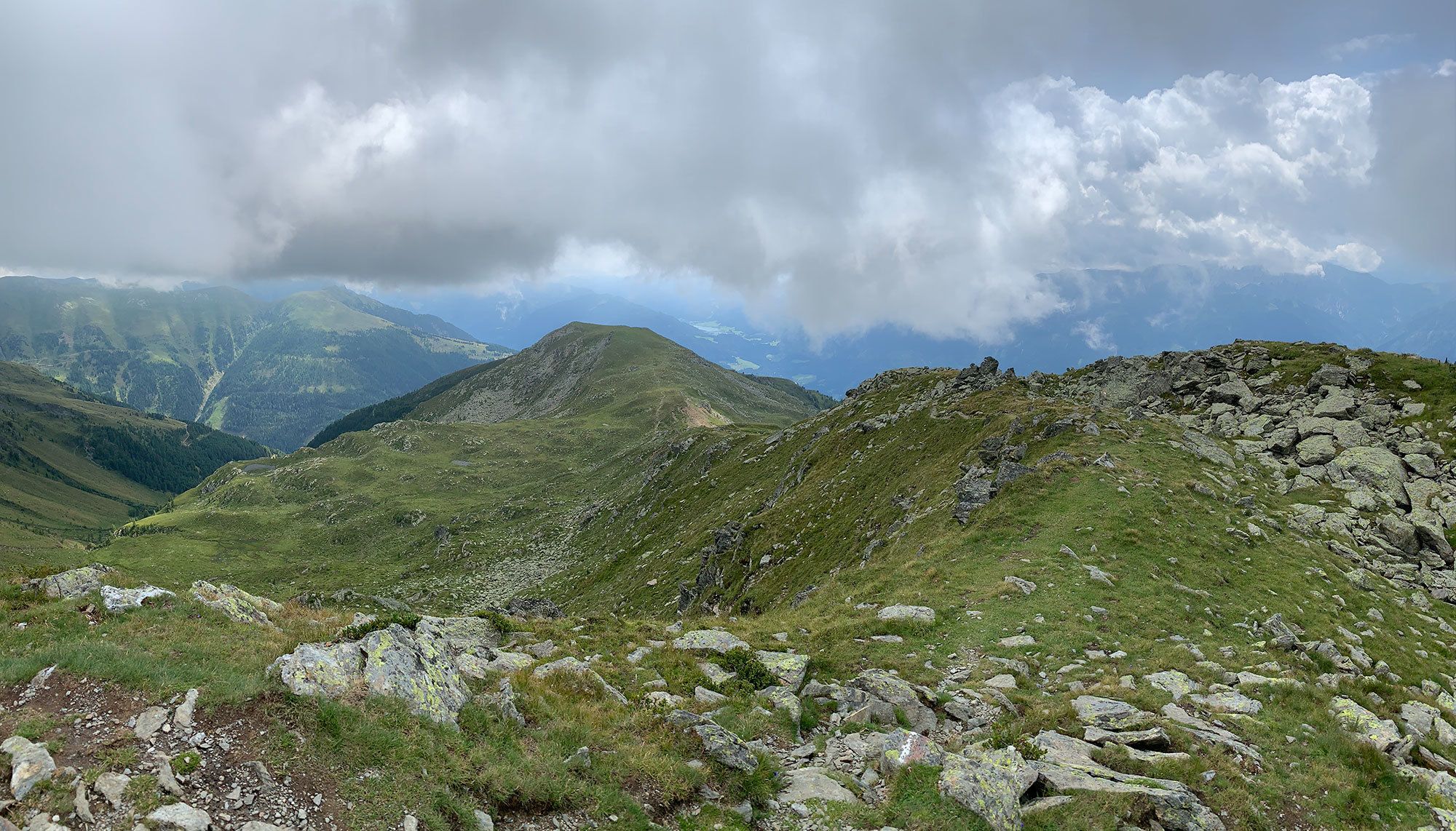
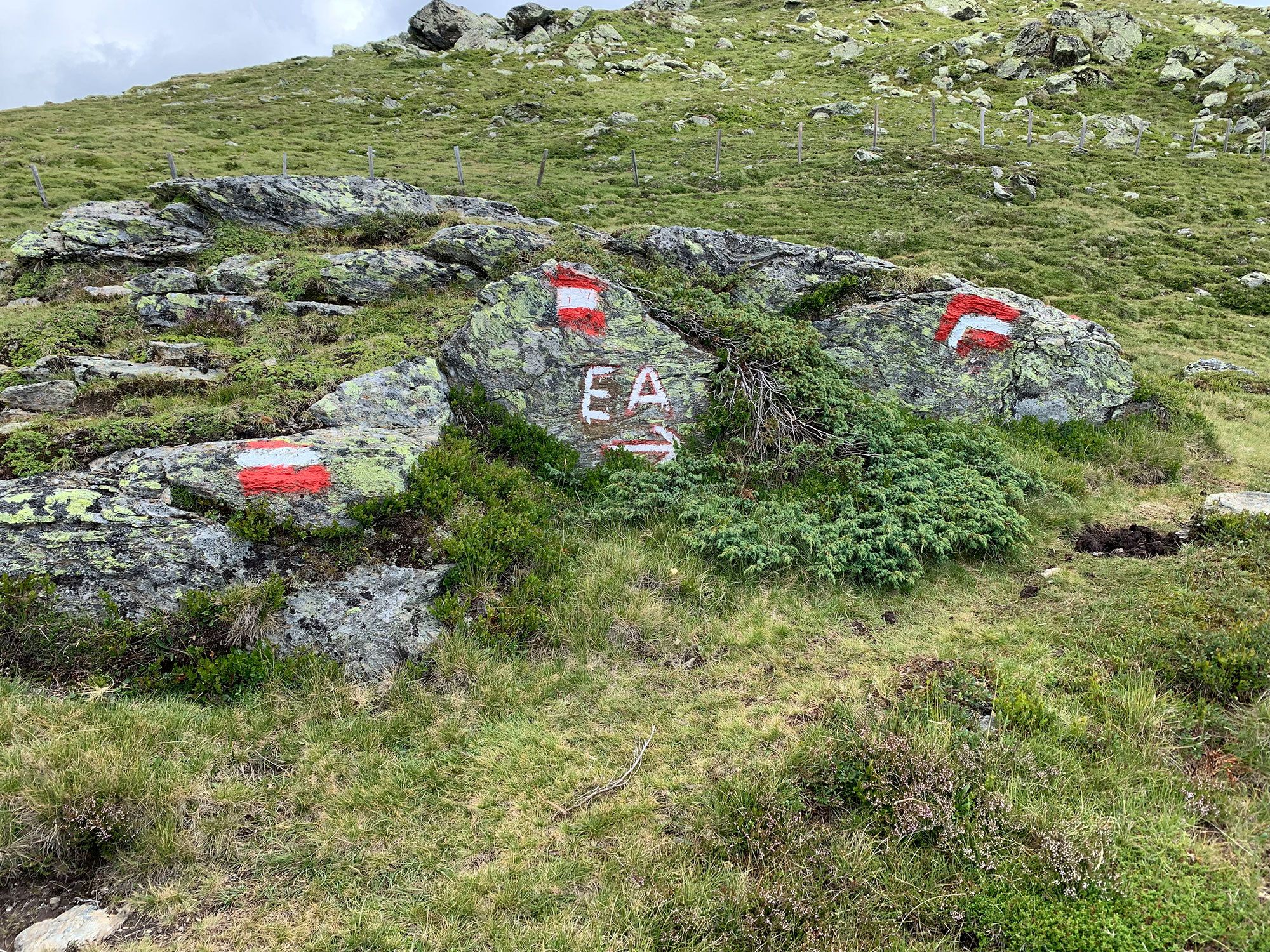
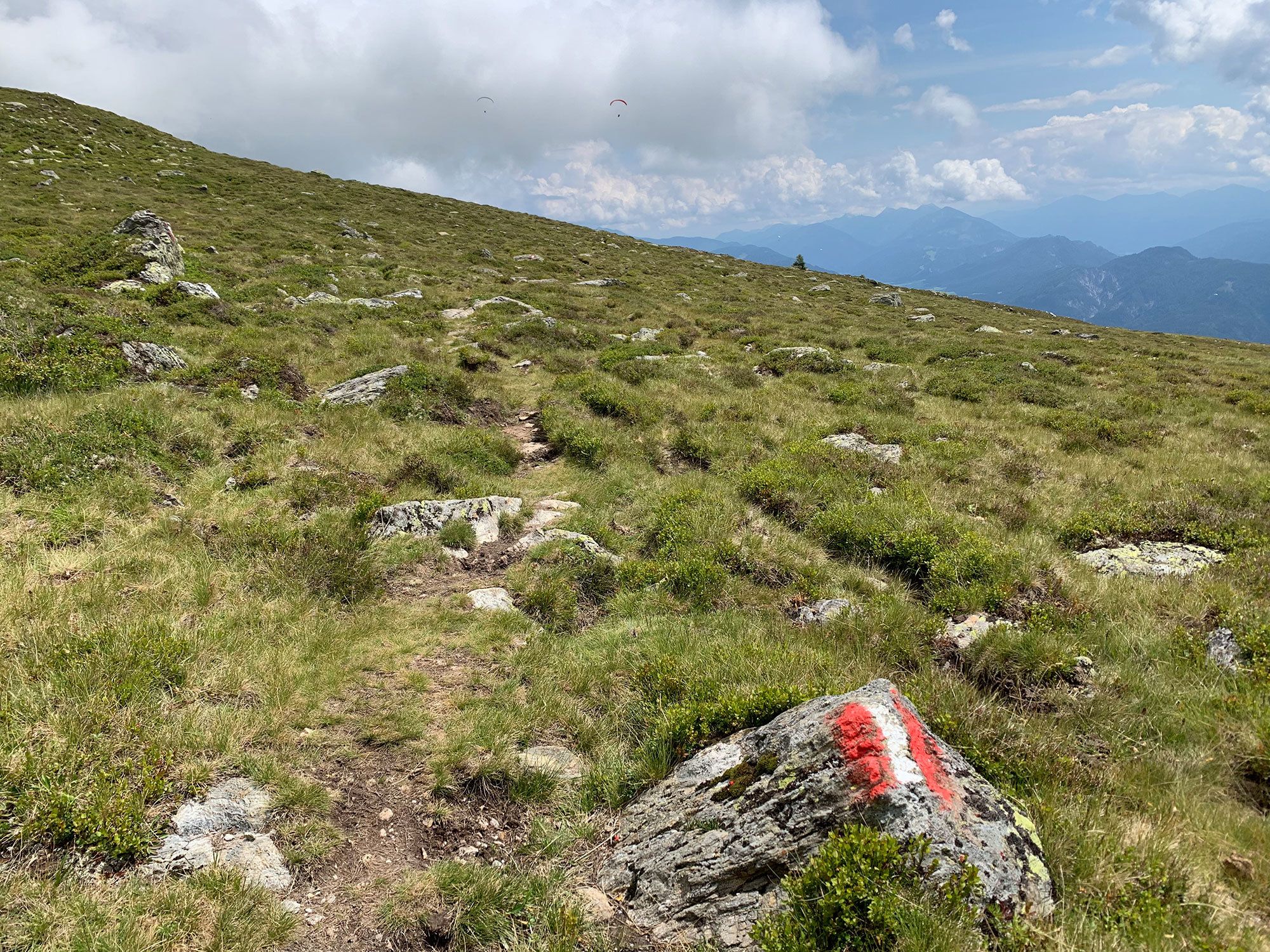
Alpengasthof Dünhofenhütte0.1 kmEmberger Alm0.2 kmHohe Grenten3.7 kmEmberger Alm8.4 kmAlpengasthof Dünhofenhütte8.6 km
- Best season
-
JanFebMarAprMayJunJulAugSepOctNovDec
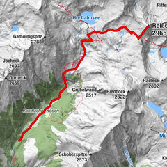
- Highest point
- 2,325 m
- Height profile
-


-

-
AuthorThe tour Hohe Grände is used by outdooractive.com provided.
GPS Downloads


General info
Refreshment stop
Other tours in the regions