Martenock - Goldeck

Logo Martenock - Goldeck
Tour data
8km
1,650 - 2,142m
Distance
426hm
380hm
Ascent
02:00h
 
Duration
Brief description

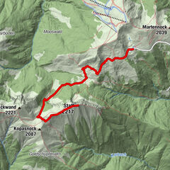
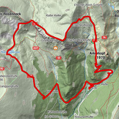
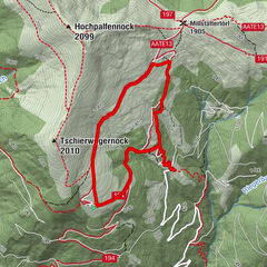
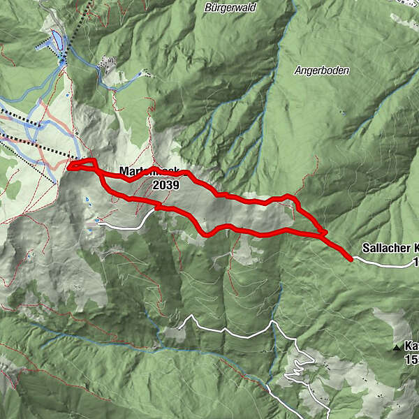
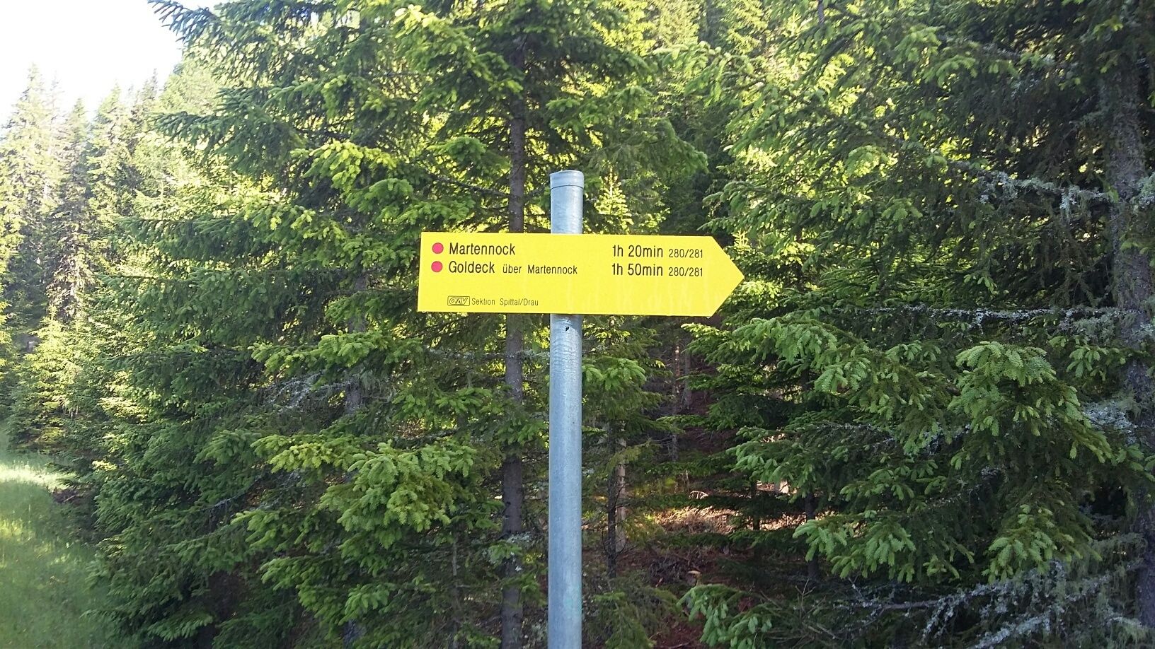
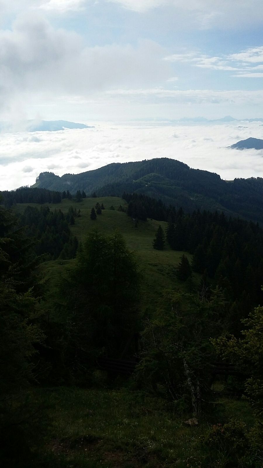
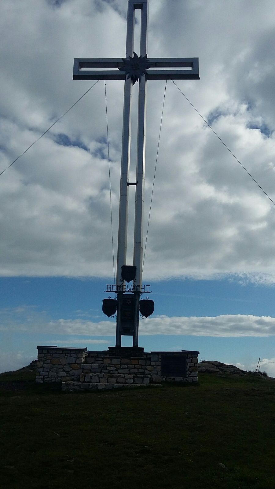
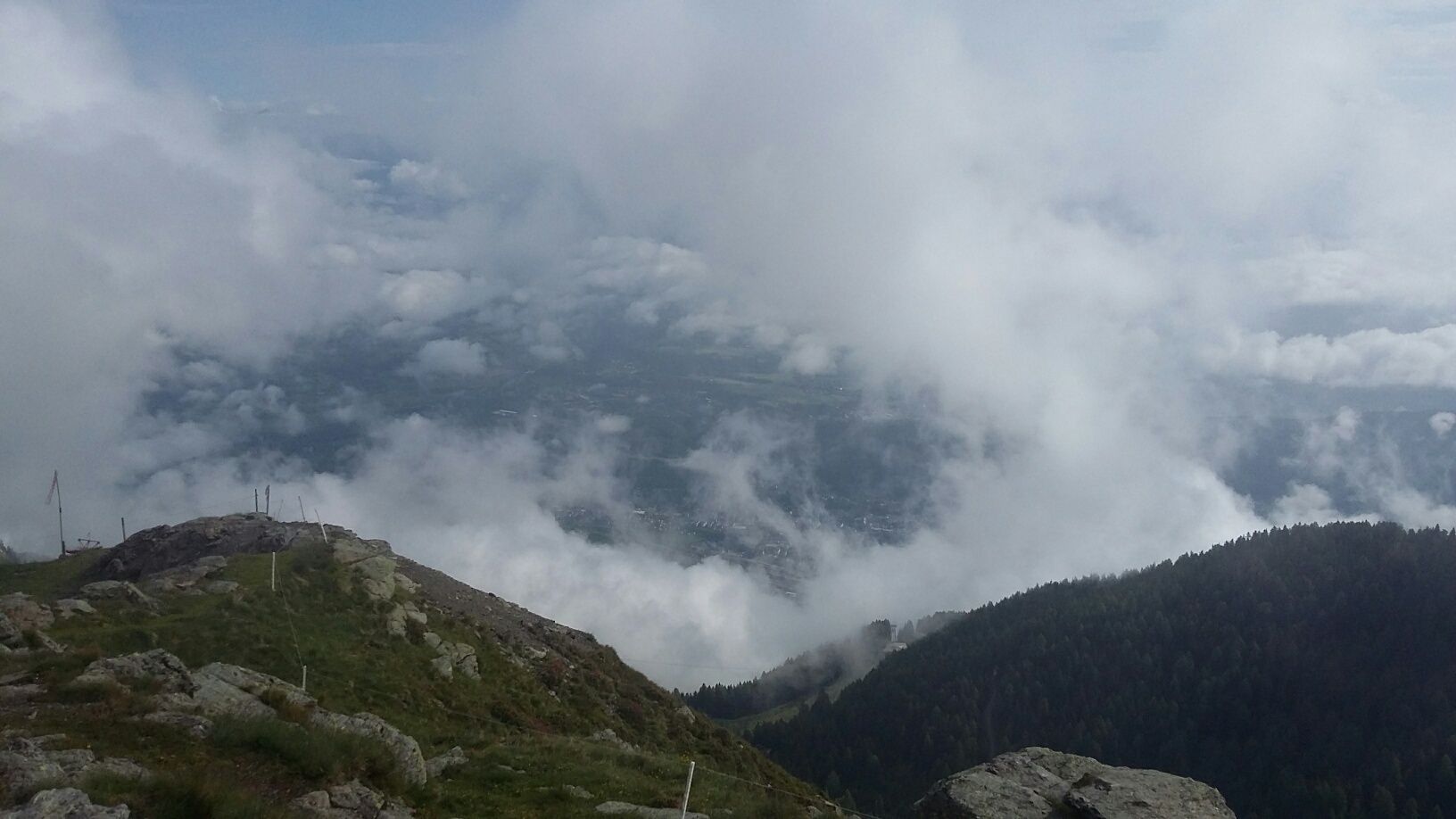
Martenockgipfel - Goldeckgipfel

Difficulty
easy
Rating
Technique
Fitness
Landscape
Experience

Best season
Jan
Feb
Mar
Apr
May
Jun
Jul
Aug
Sep
Oct
Nov
Dec
Highest point
2,142 m

Rest/Retreat

Goldeckhütte, Bergstation Goldeck, Panoramahütte, Mähderhütte


1,0
Overall rating

5

0

%

4

0

%

3

0

%

2

0

%

1

100

%

GPS Downloads
  • GPX GPS Exchange Format (XML)
  • KML Google Earth, Google Maps
QR Download Codes for Mobile Phones

Trail conditions

Asphalt (3 km)
Gravel
Meadow (2,5 km)
Forest (2,5 km)
Rock
Exposed

Popular tours in the area

Staff

medium Hiking
6.35km | 782hm | 05:00h

Predigerstuhl Runde

Hiking
9.3km | 626hm | 04:00h

Sonnwiesenrundweg

medium Hiking
4.67km | 230hm | 01:40h

Mirnock Rundweg

medium Hiking
9.3km | 890hm | 05:00h