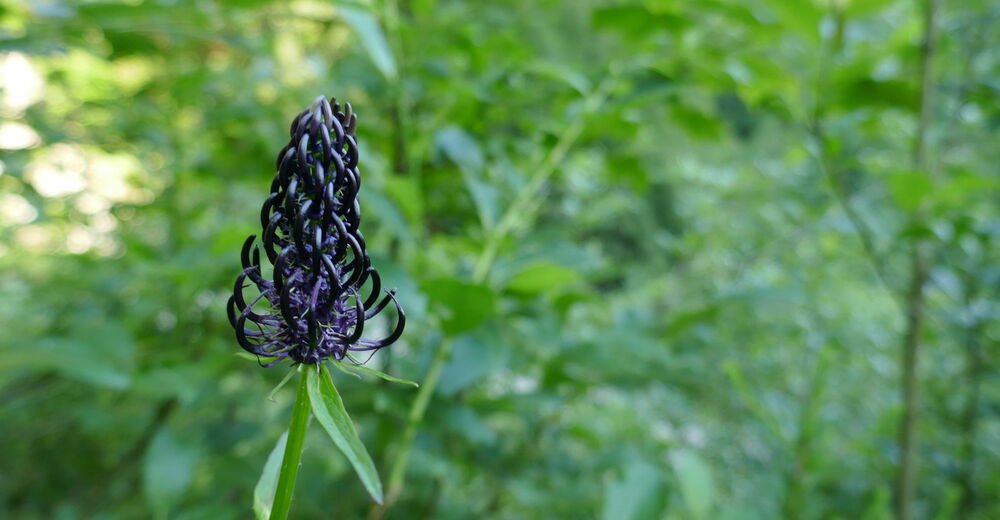
© Christian Herold
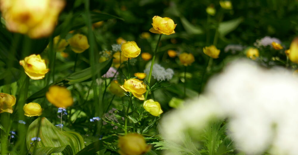
© Christian Herold
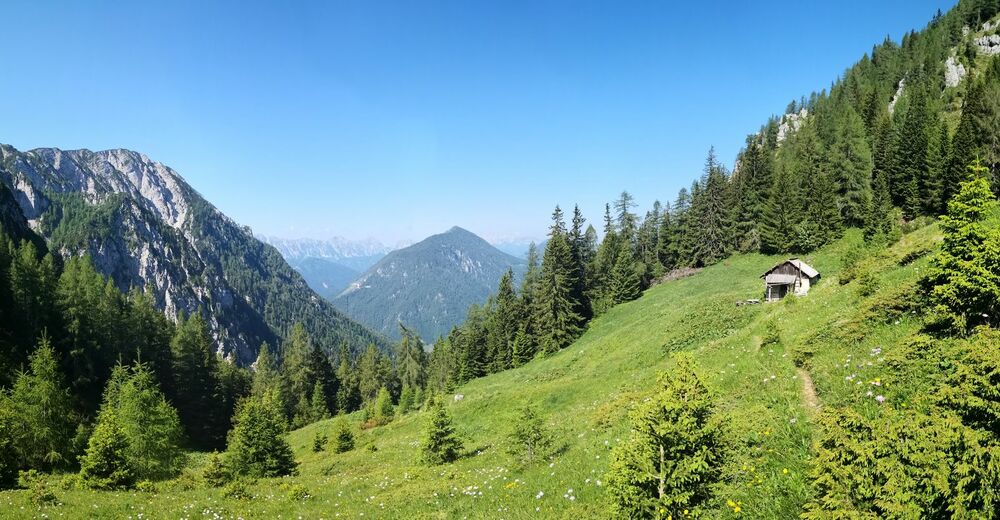
© Christian Herold
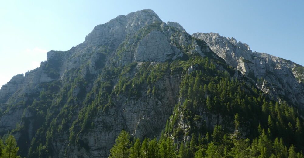
© Christian Herold
© Christian Herold
© Christian Herold
© Christian Herold
© Christian Herold
© Petra Reiberger
© Christian Herold
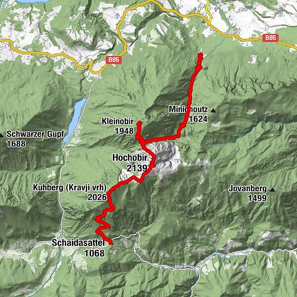
Tour data
15km
511
- 2,139m
2,050hm
1,400hm
08:00h
- Brief description
-
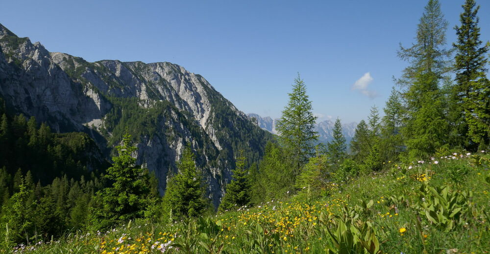
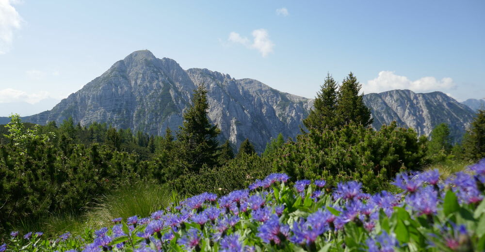
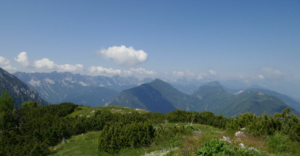
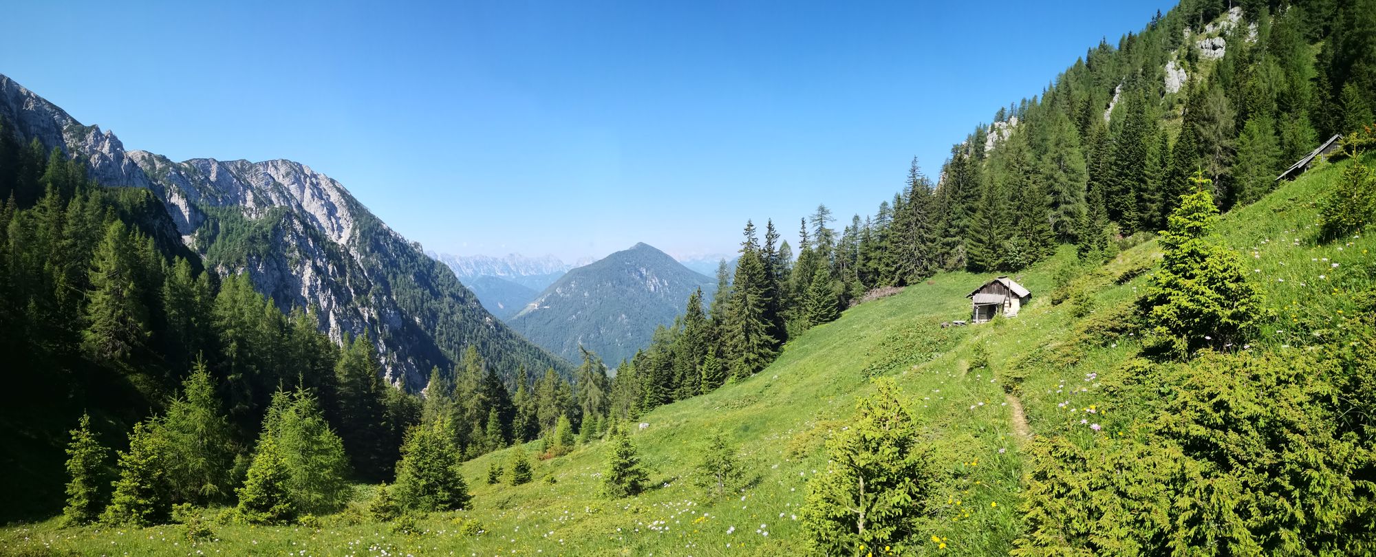
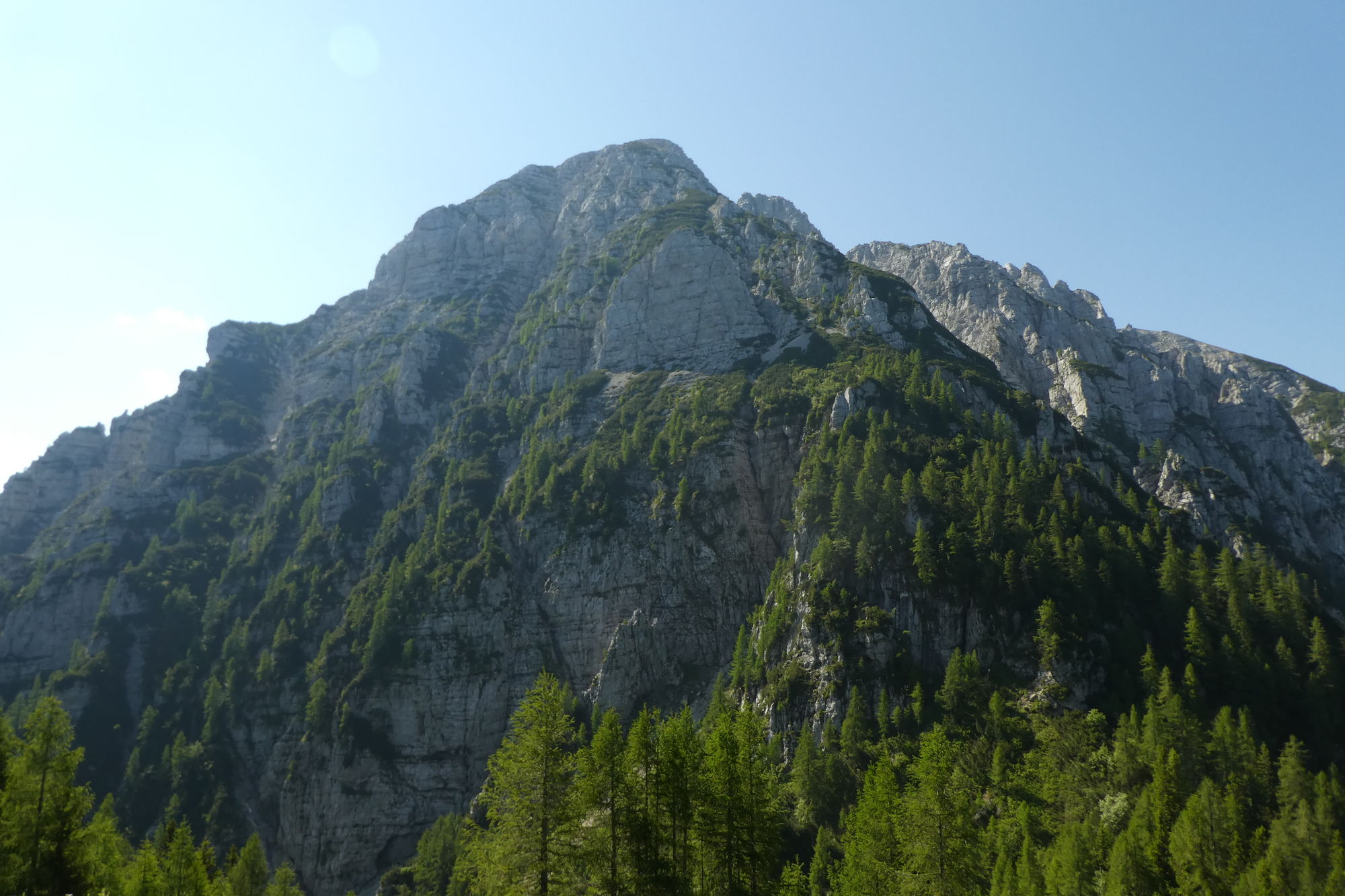
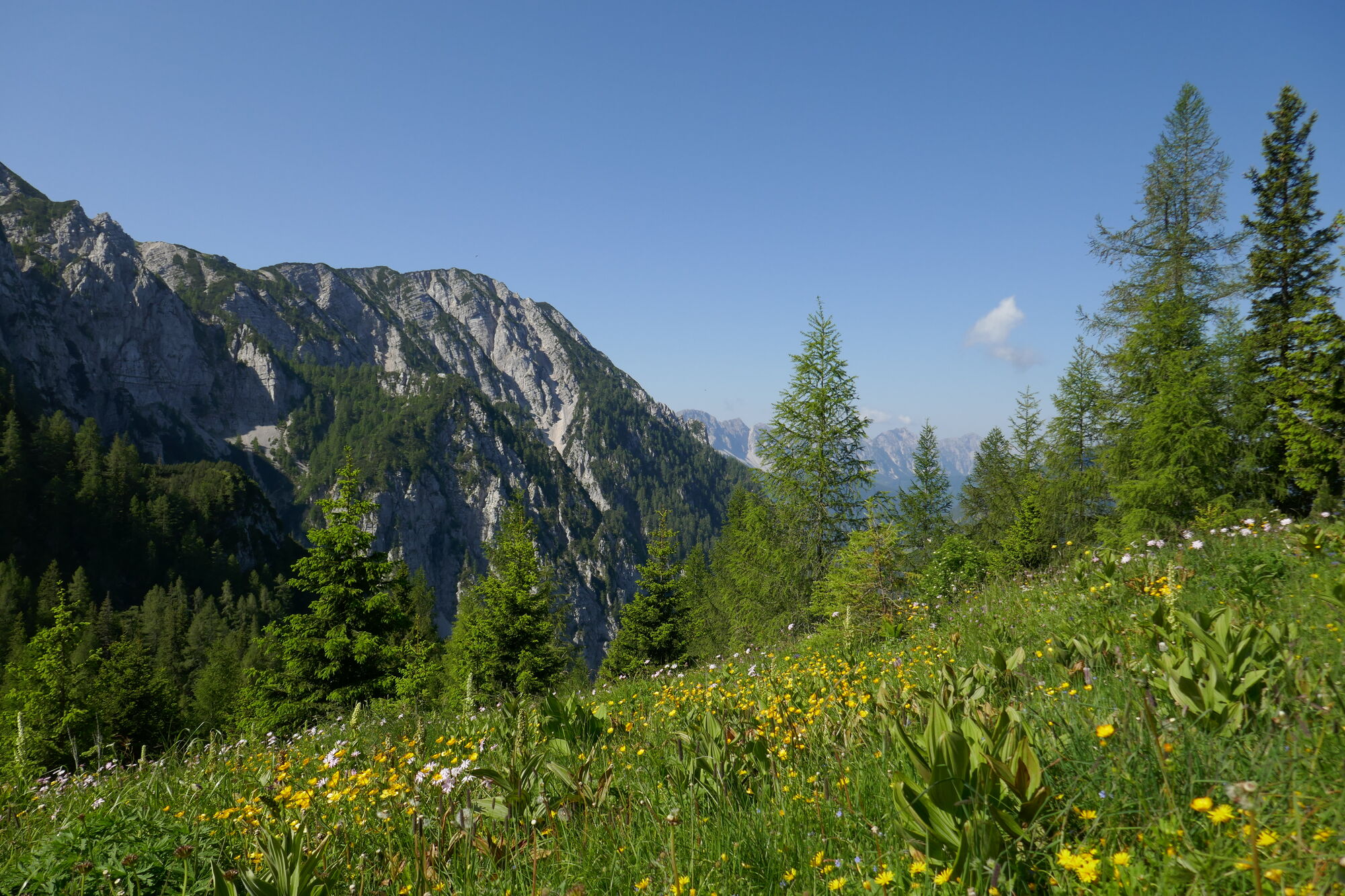
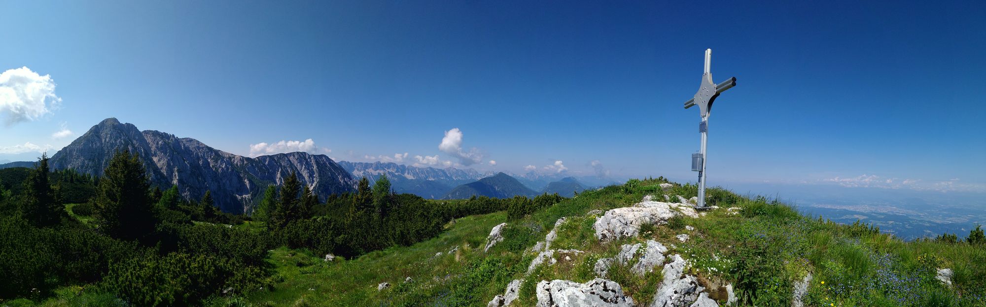
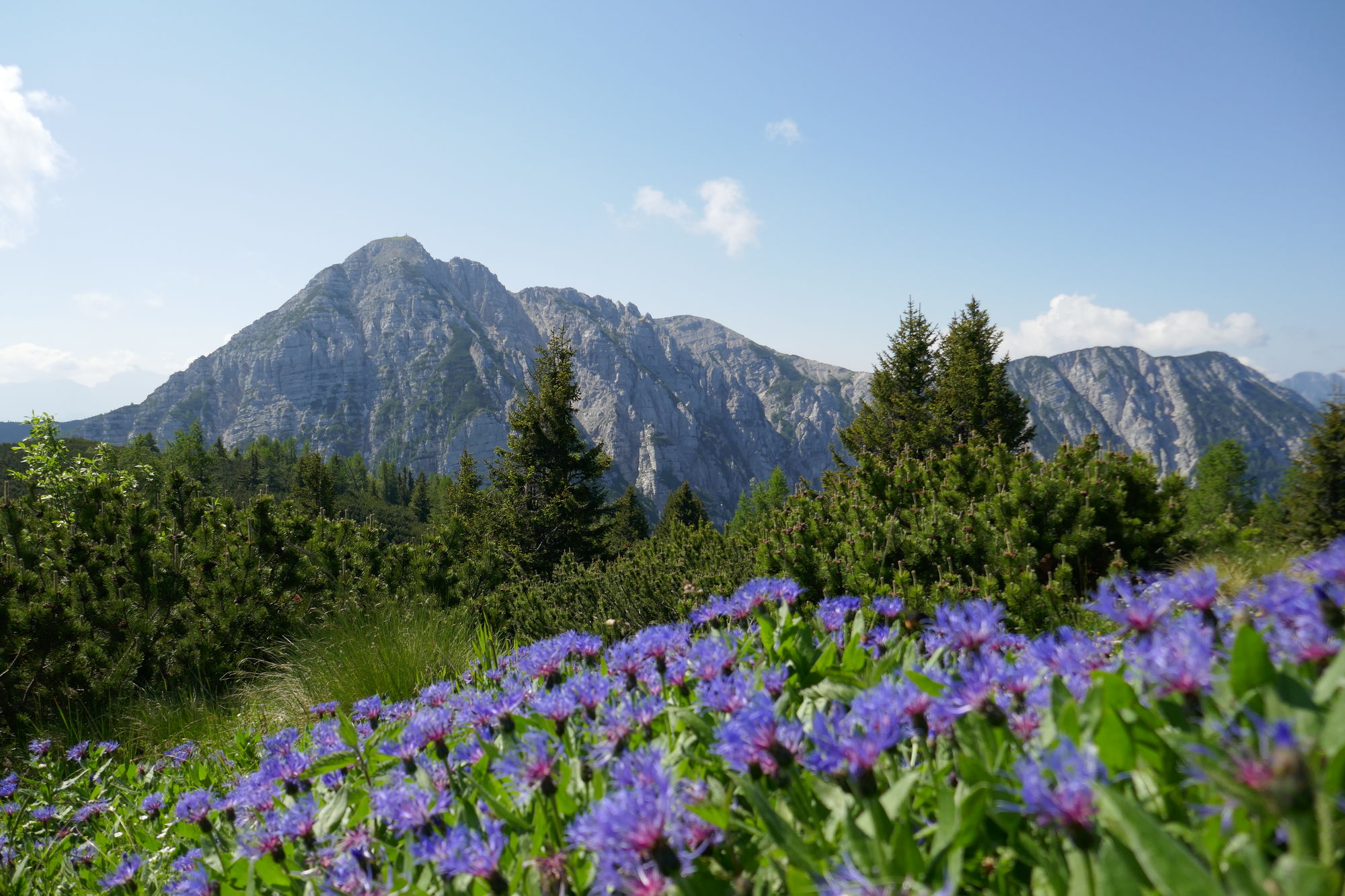
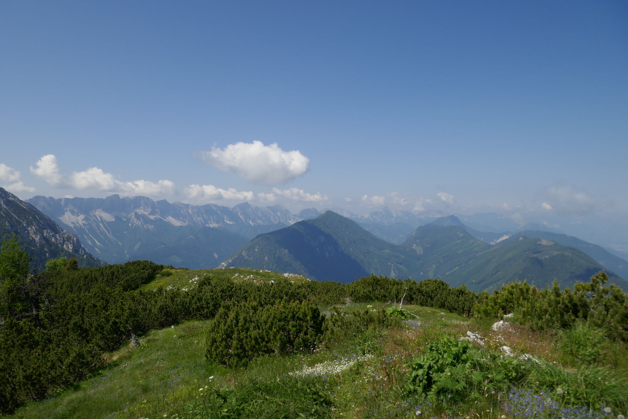
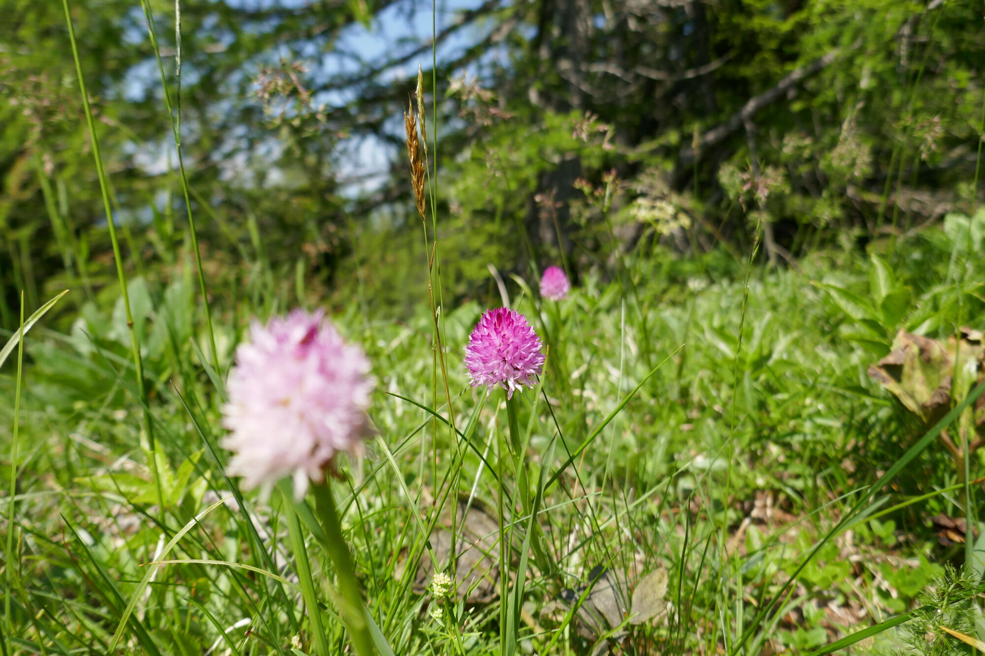
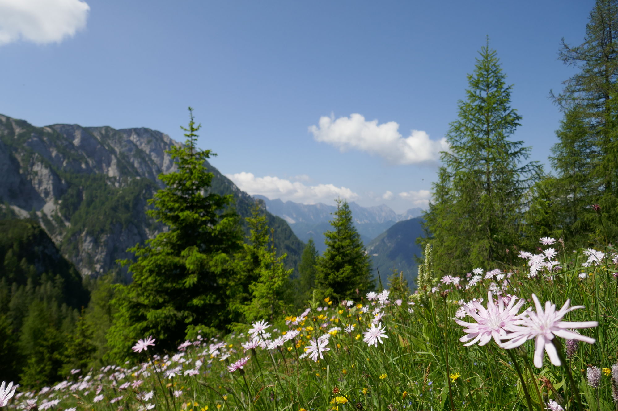
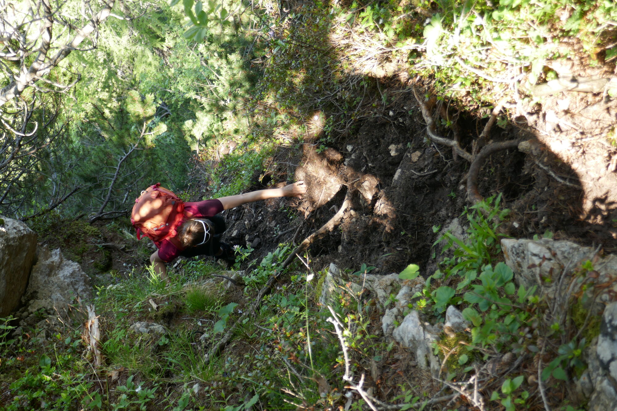
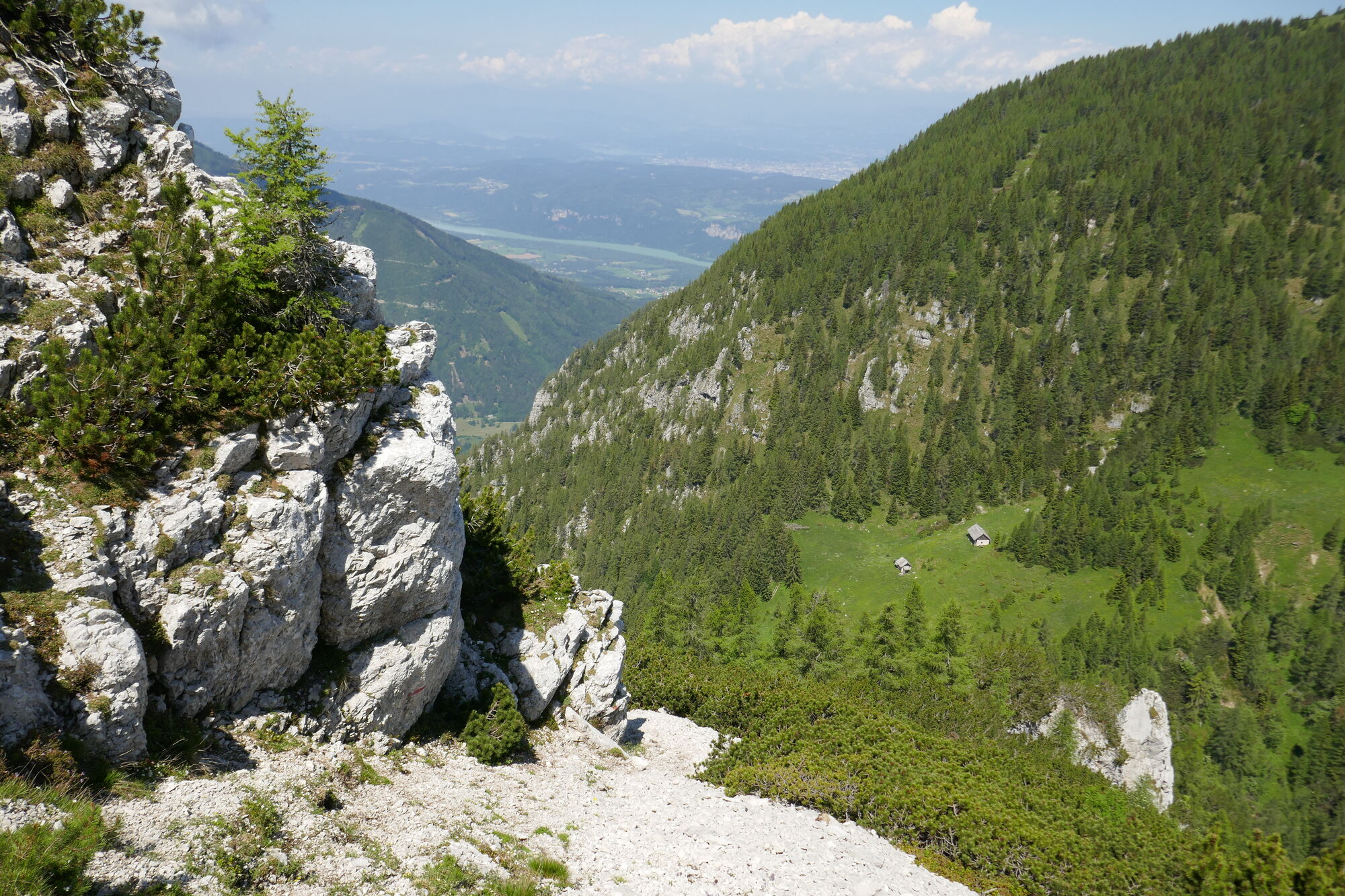
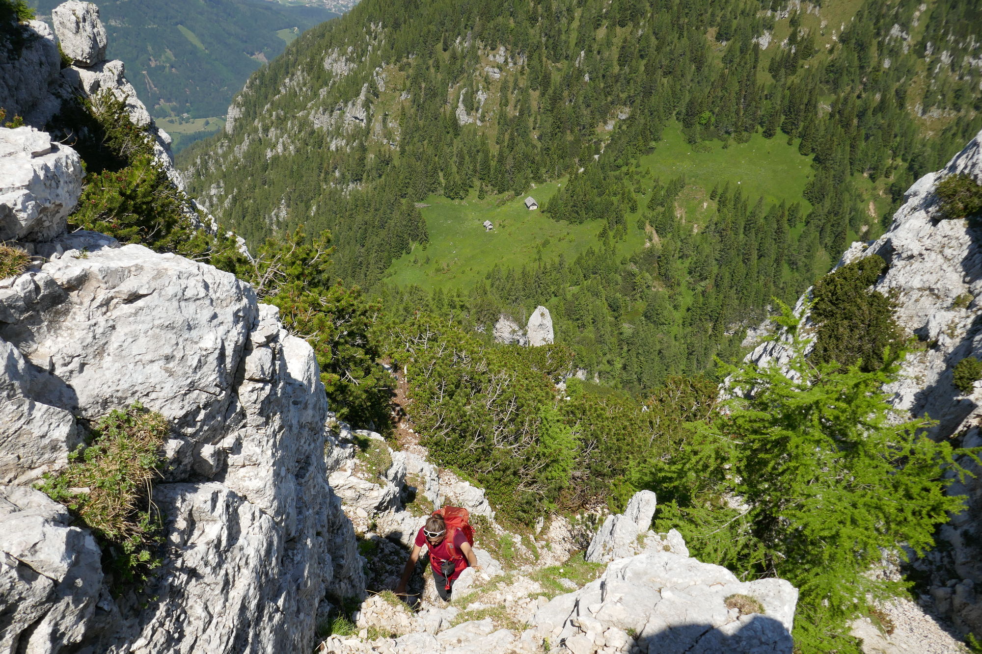
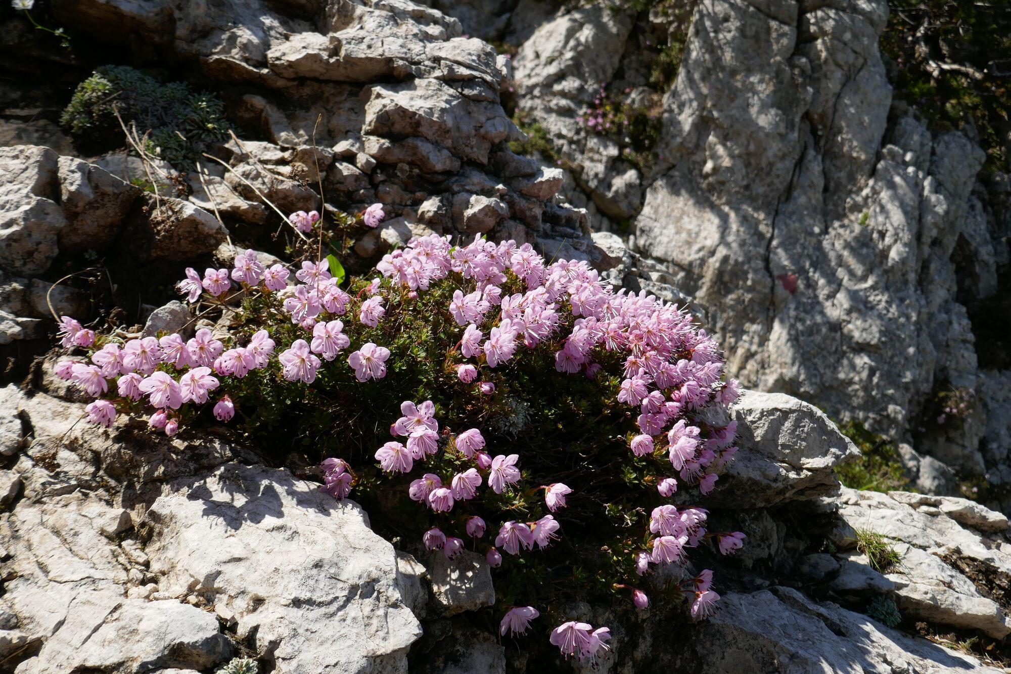
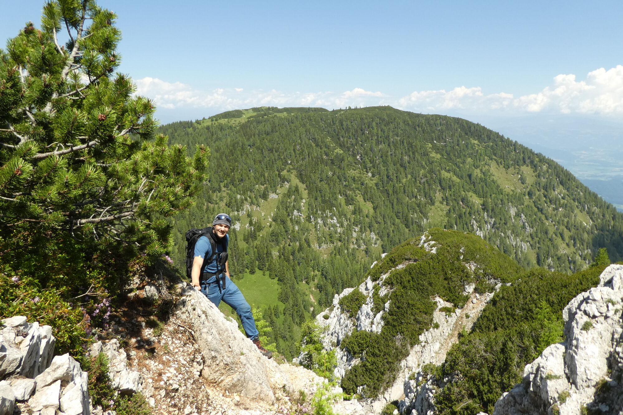
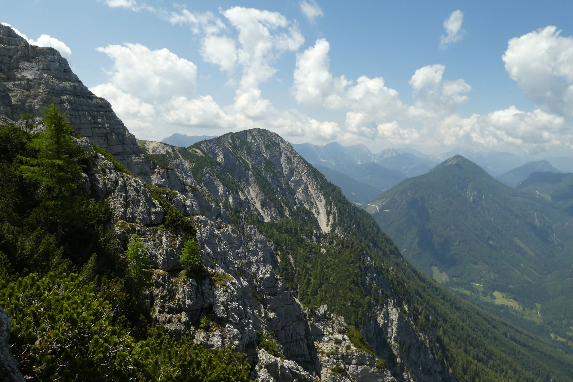
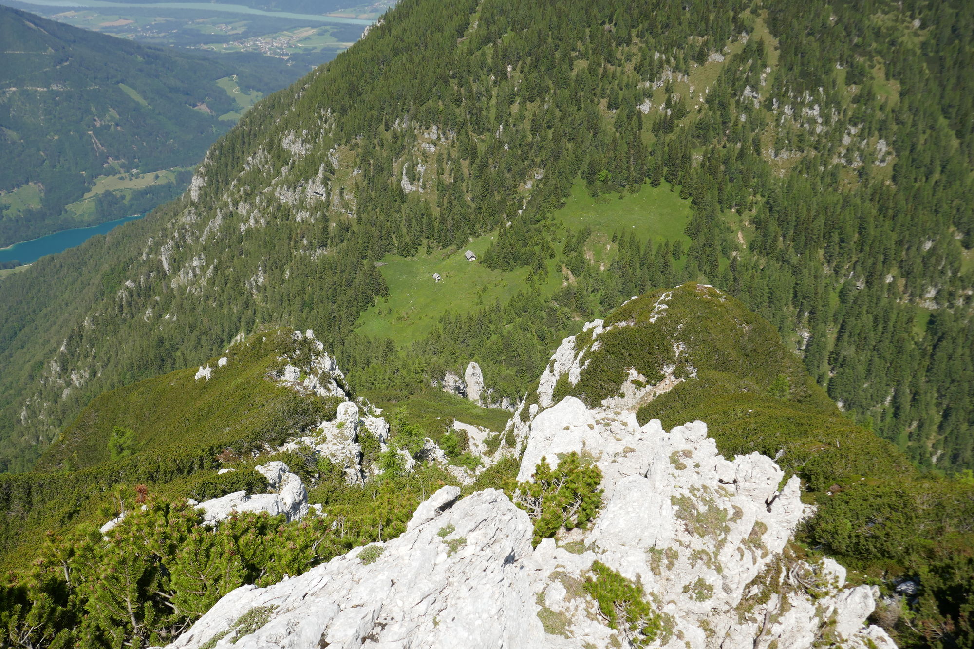
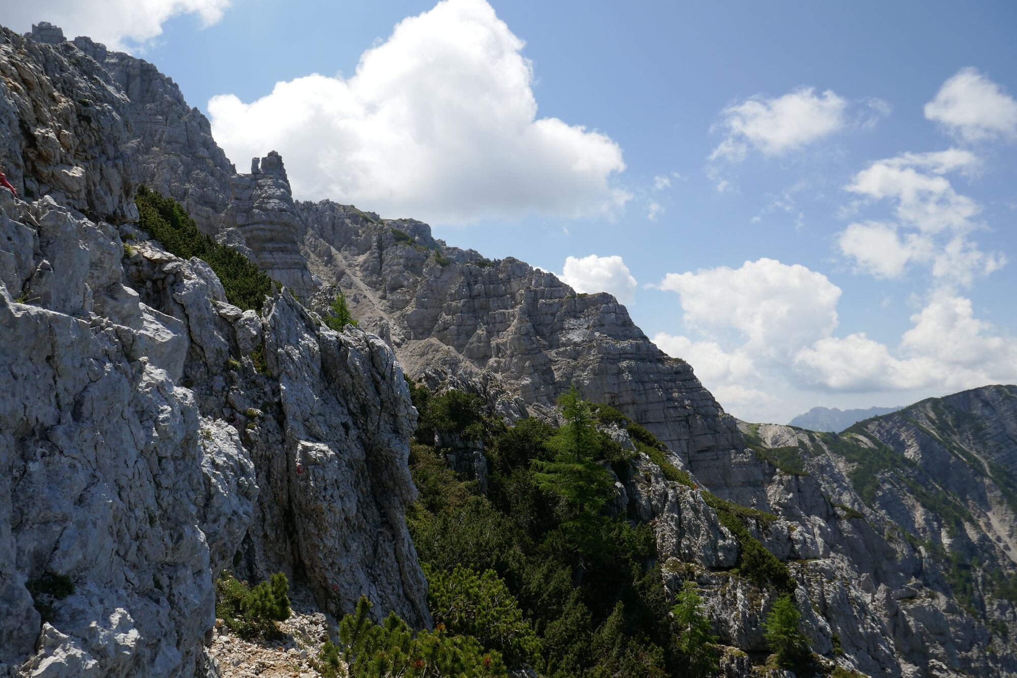
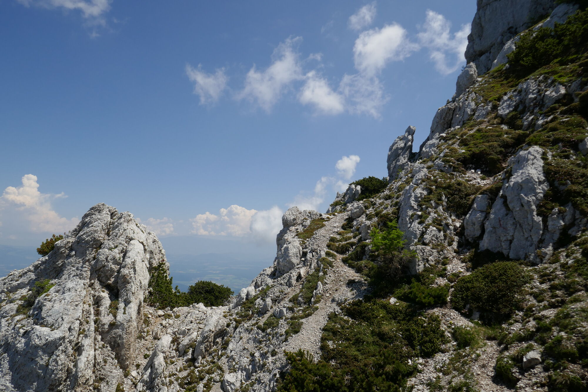
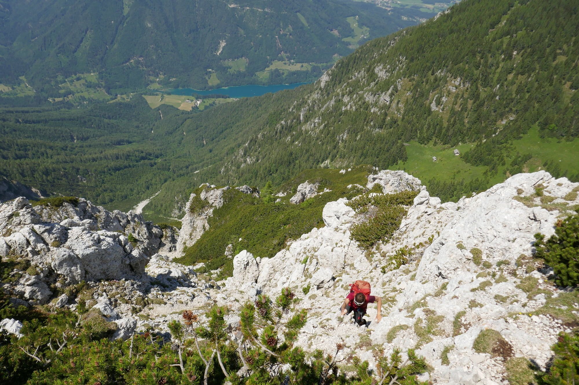
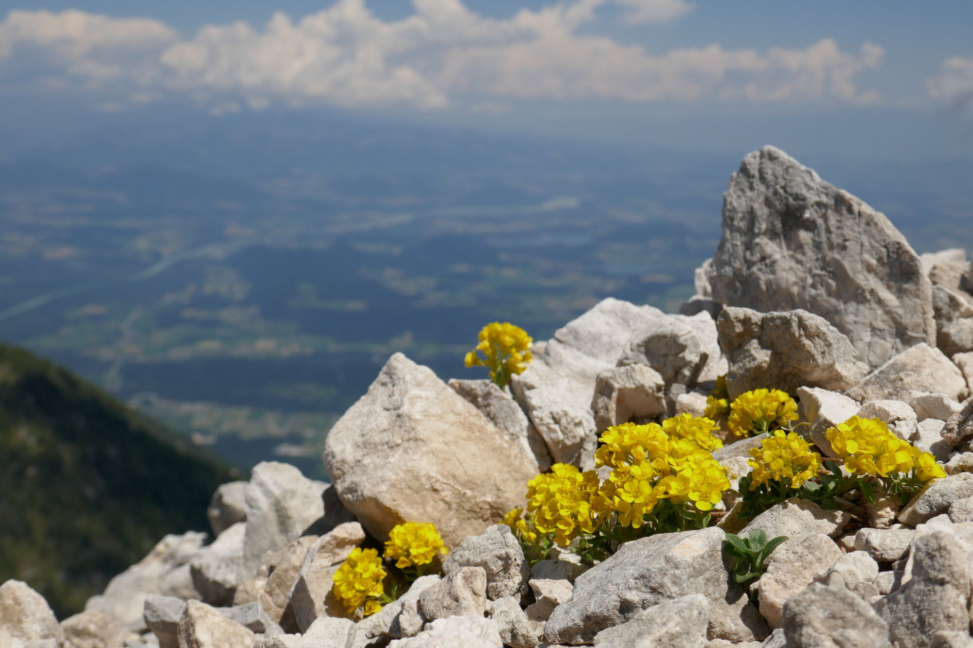
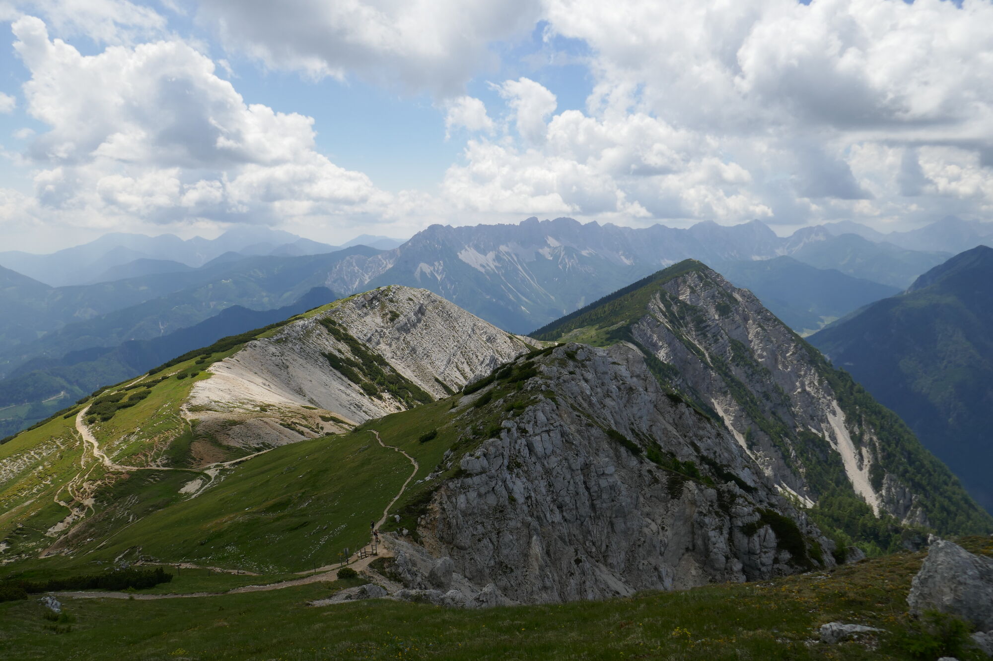
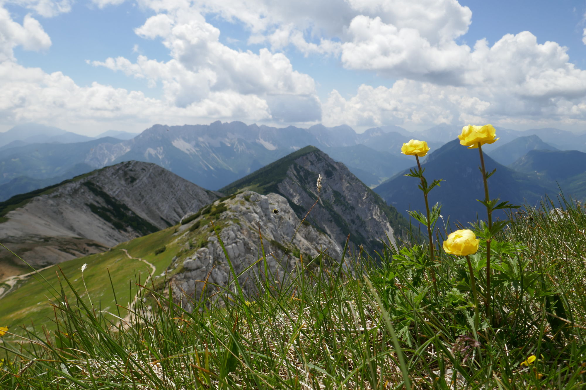
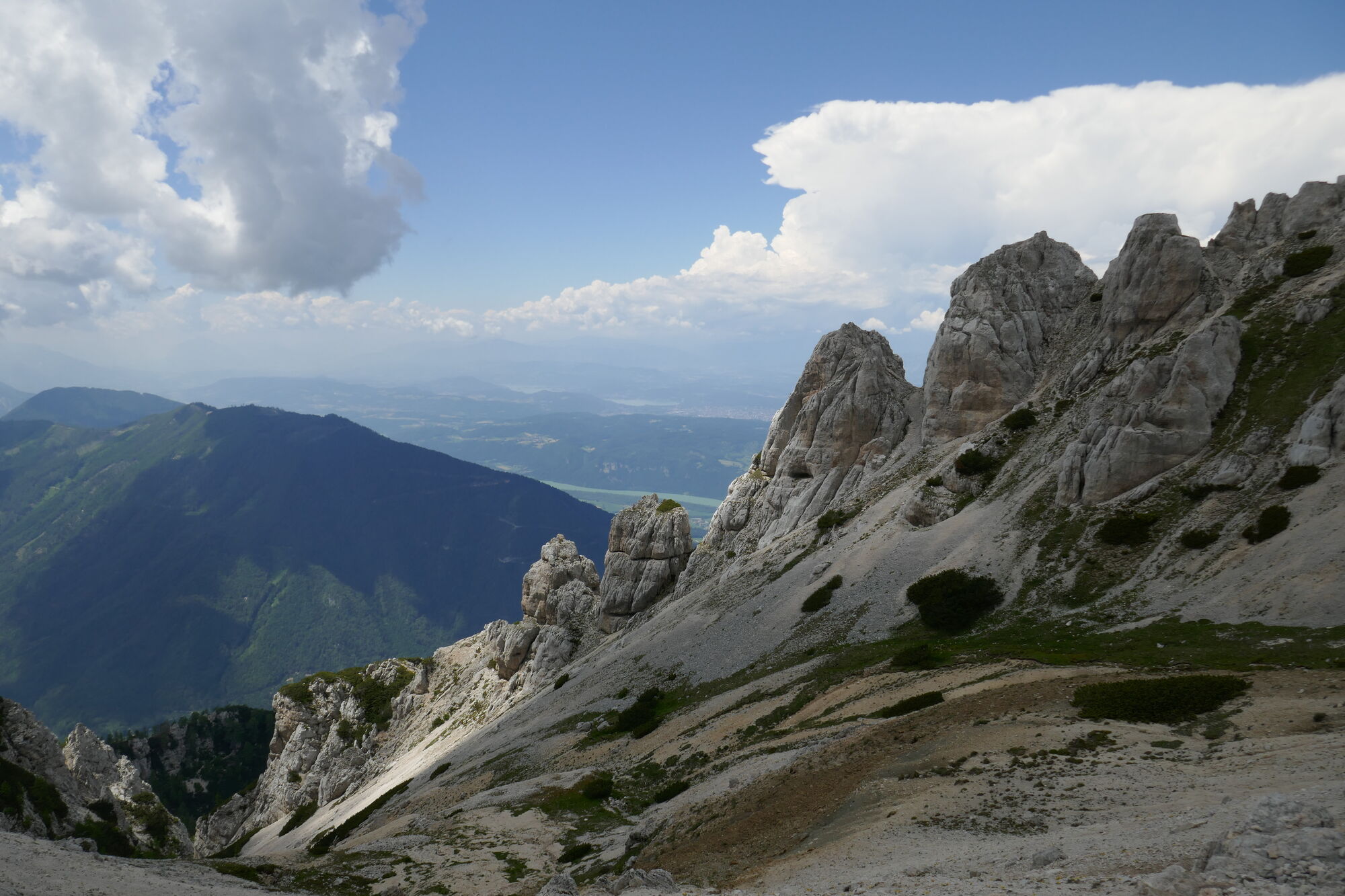
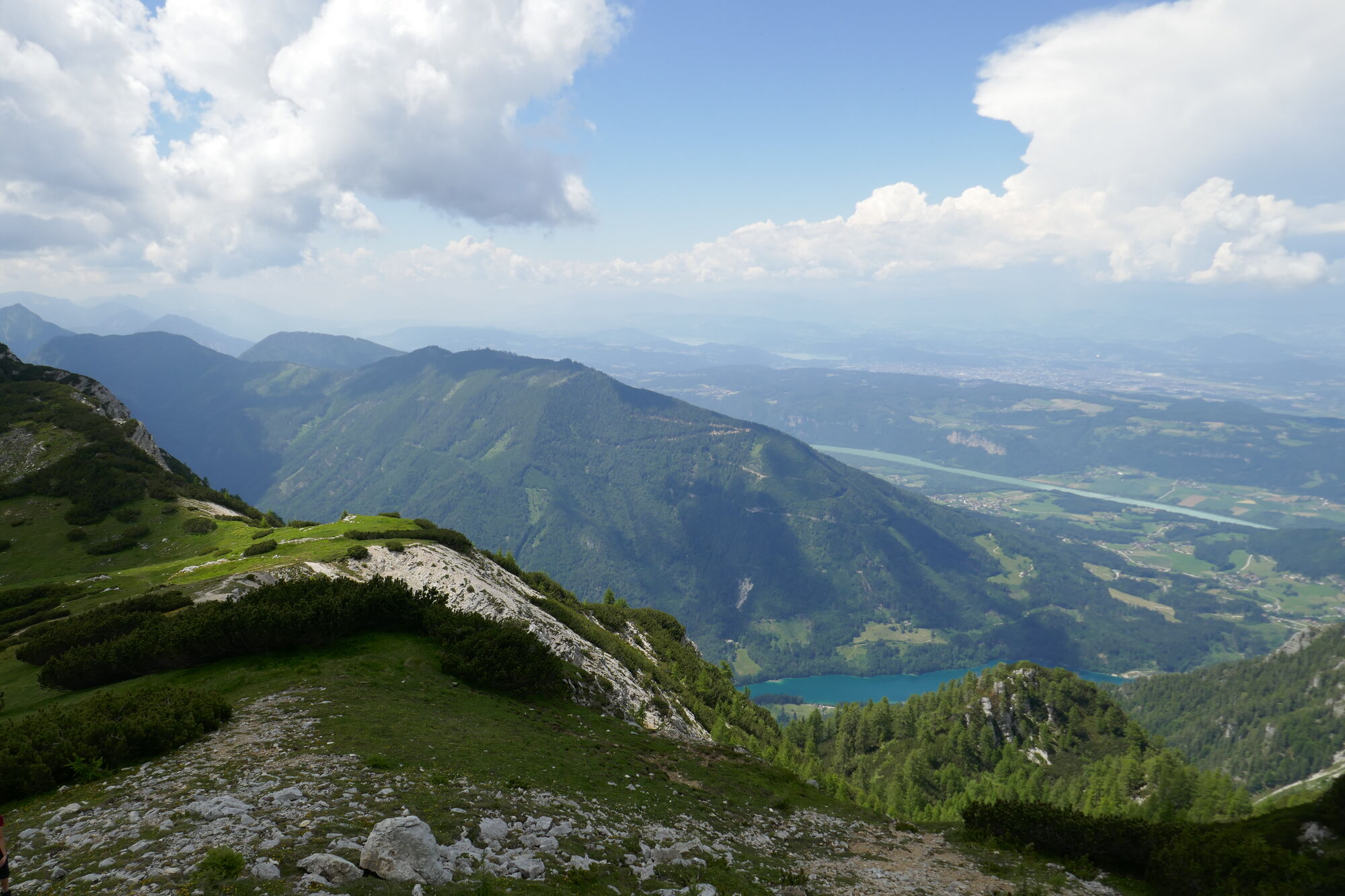
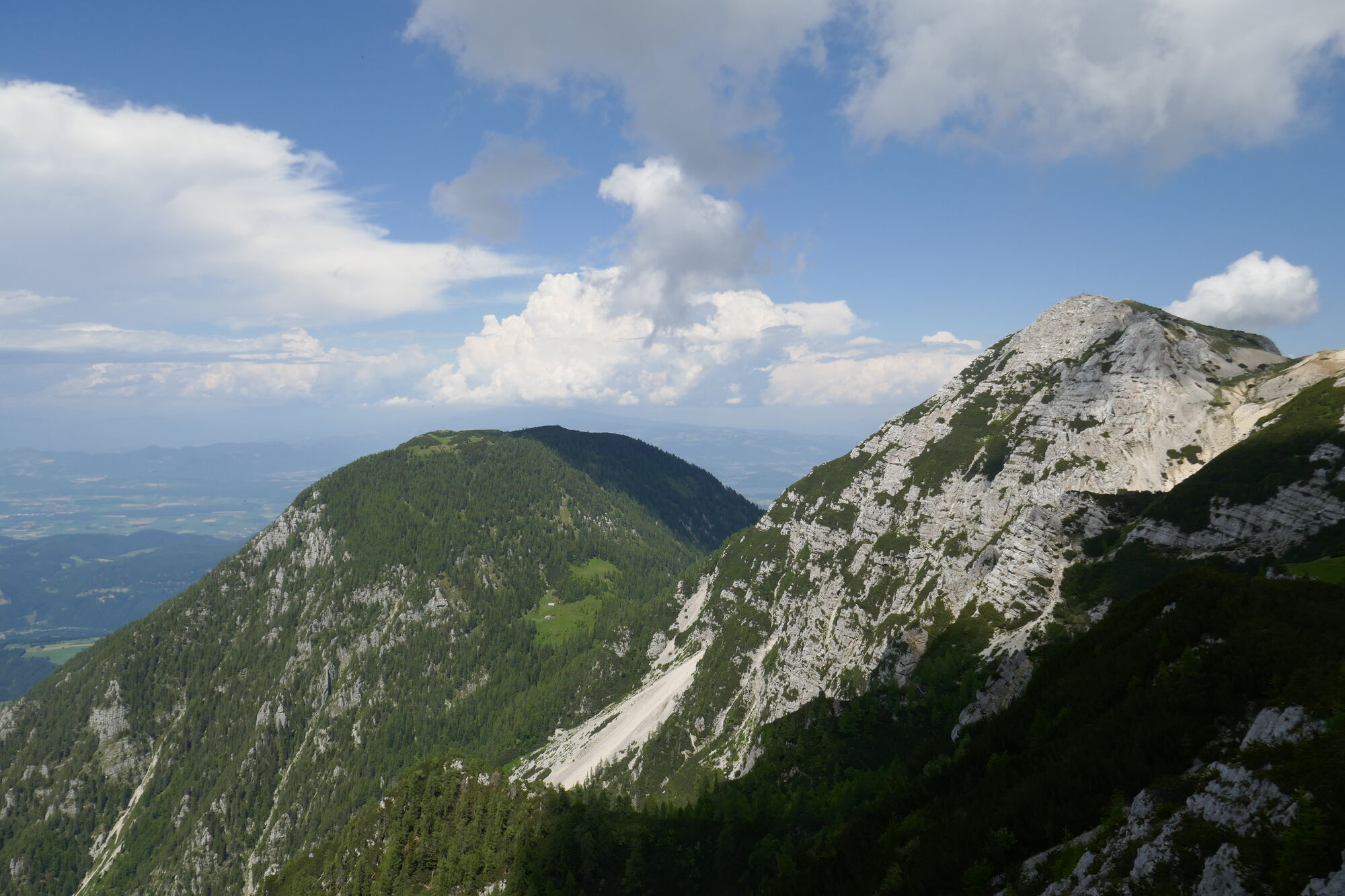
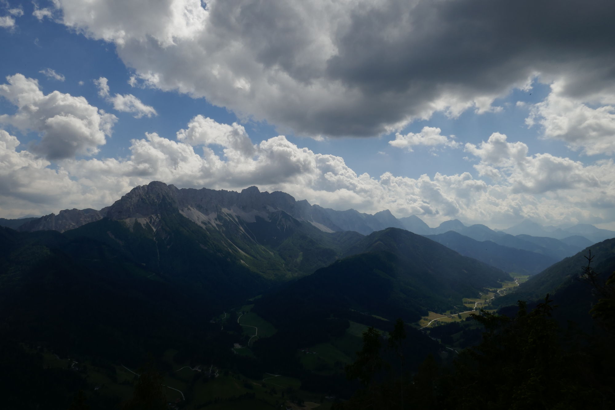
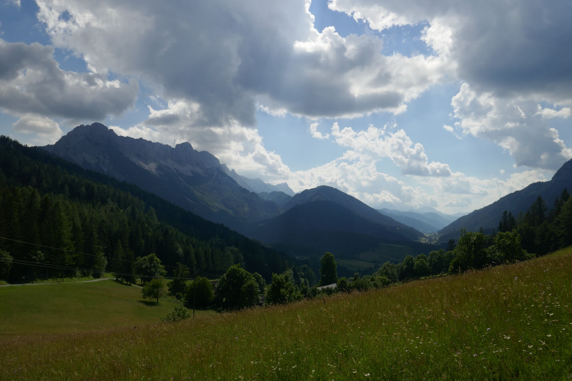
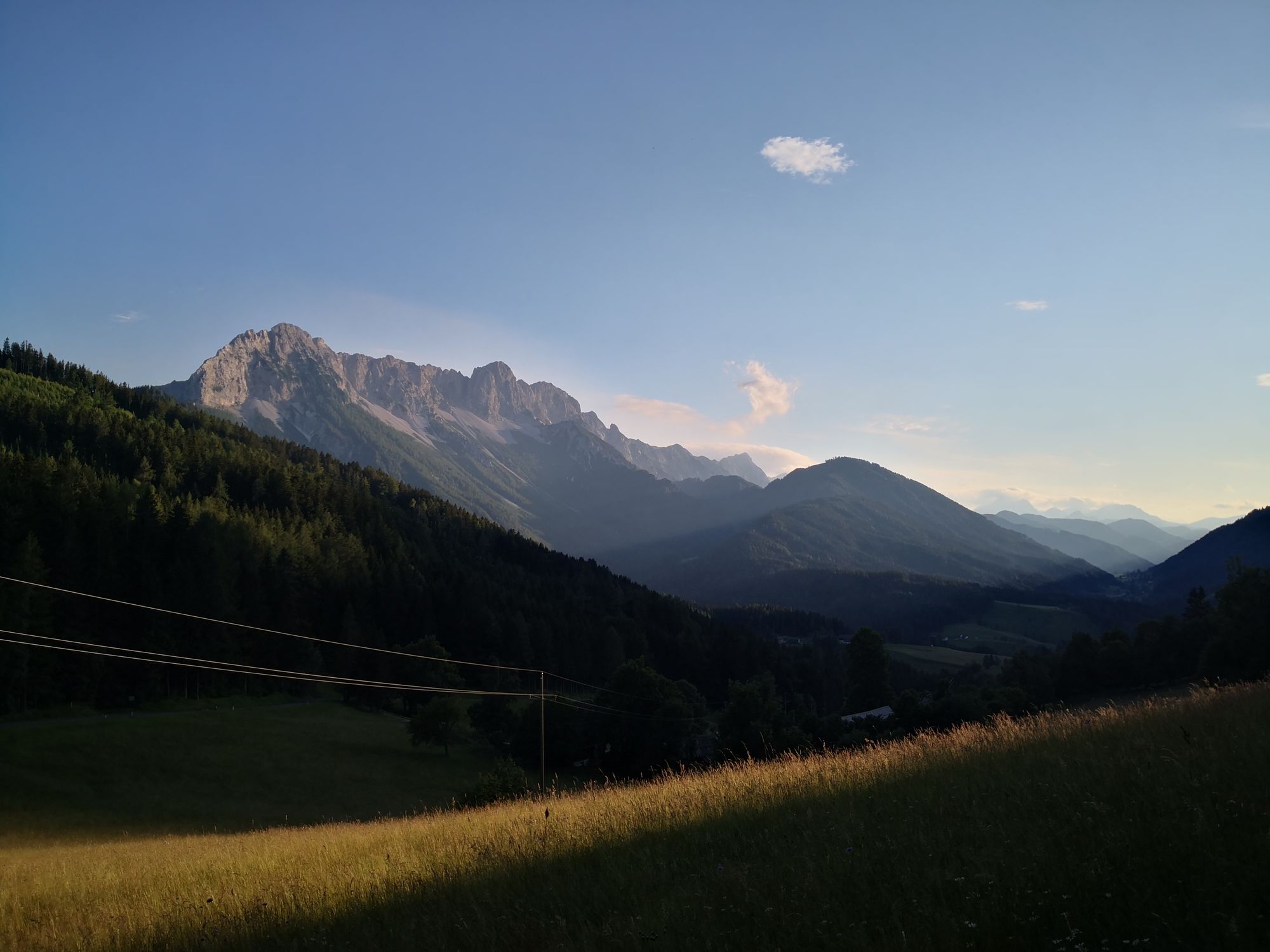
Schöne einsame Tour (bis auf Gipfel vom Hochobir) mit fantastischer Landschaft und Blick in die Steiner Alpen.
- Difficulty
-
medium
- Rating
-
- Starting point
-
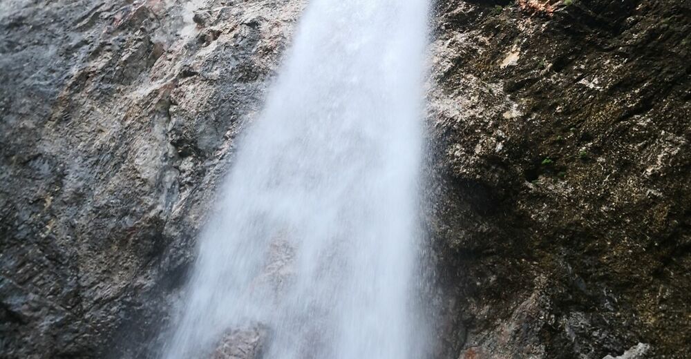
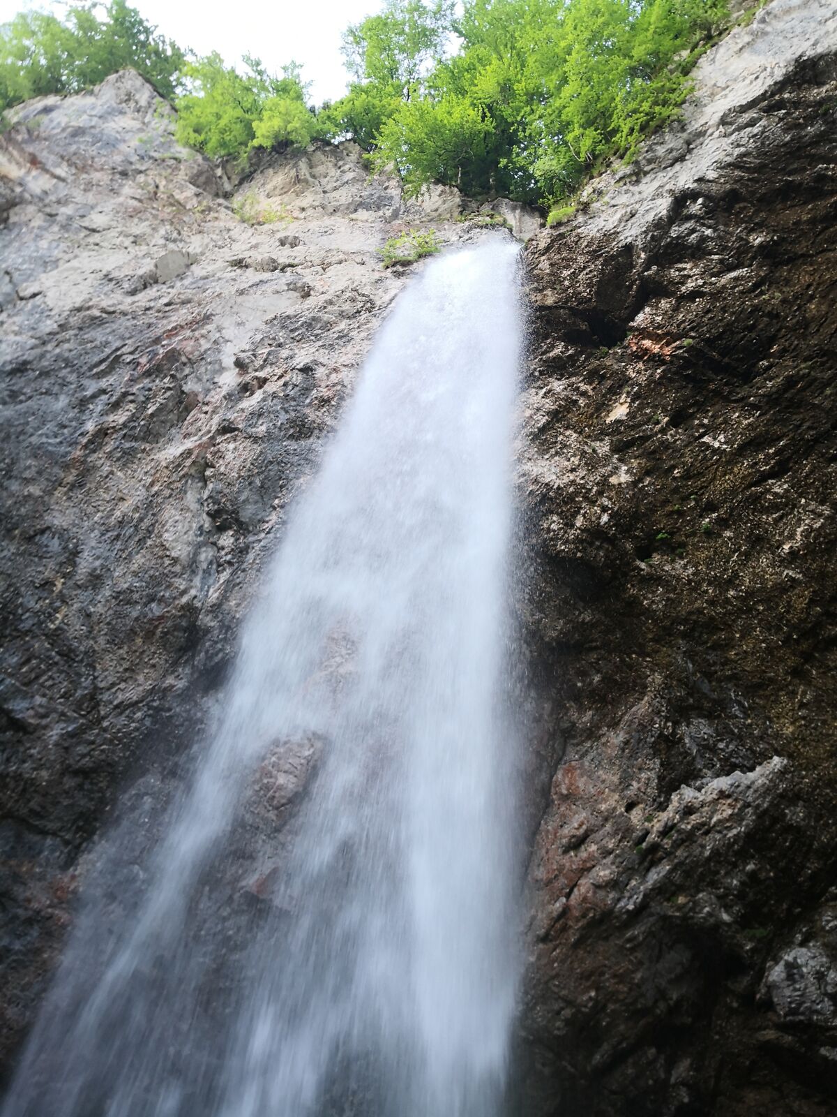
Jausenstation zum Wasserfall
- Route
-
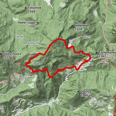
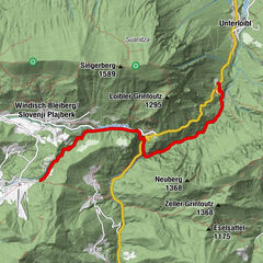
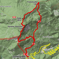
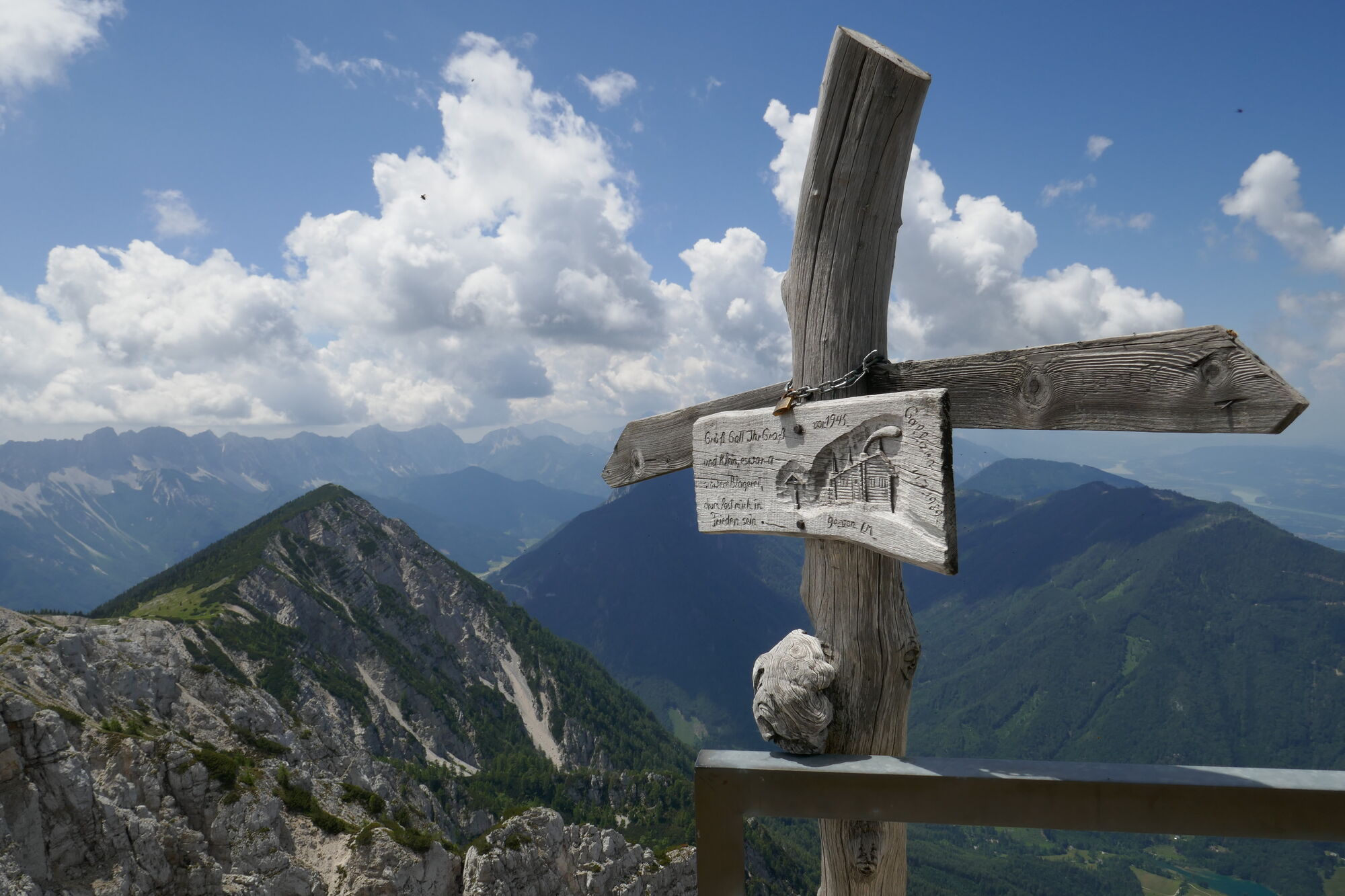
Gasthaus Wildensteiner Wasserfälle0.0 kmWildensteiner Wasserfall0.7 kmHochobir (2,139 m)8.3 kmKuhberg / Kravji vrh (2,026 m)10.6 kmSchaidasattel (1,068 m)14.4 km
- Best season
-
JanFebMarAprMayJunJulAugSepOctNovDec
- Highest point
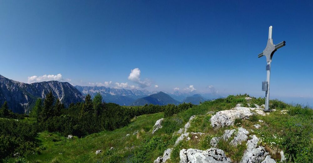
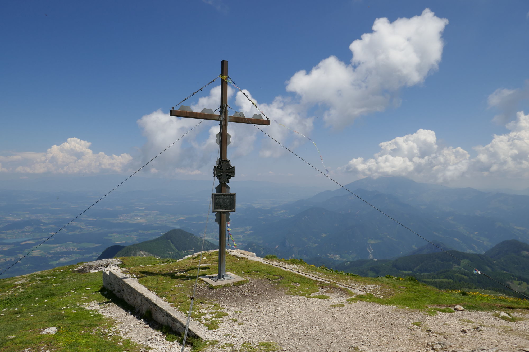
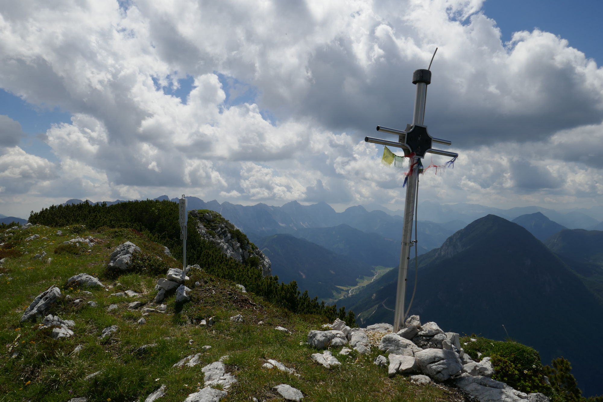
- Hochobir (2,139 m)
- Endpoint
-
Schaidasattel
- Rest/Retreat
-
auf der angegebenen Route keine
- Information
-
-
- Ticket material
-
-

- Source
- Petra und Christian
GPS Downloads


Trail conditions
Asphalt
Gravel
(15%)
Meadow
(30%)
Forest
(40%)
Rock
(10%)
Exposed
(5%)
Other tours in the regions
-
Klopeiner See - Südkärnten
1169
-
Gallizien
138