Tour data
14.1km
1,066
- 2,059m
1,220hm
1,220hm
05:30h
- Brief description
-
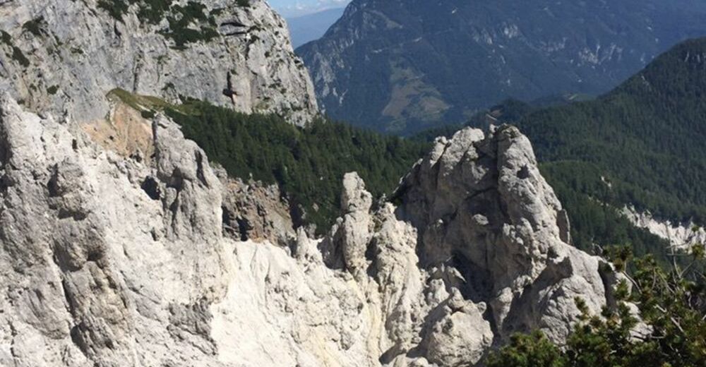
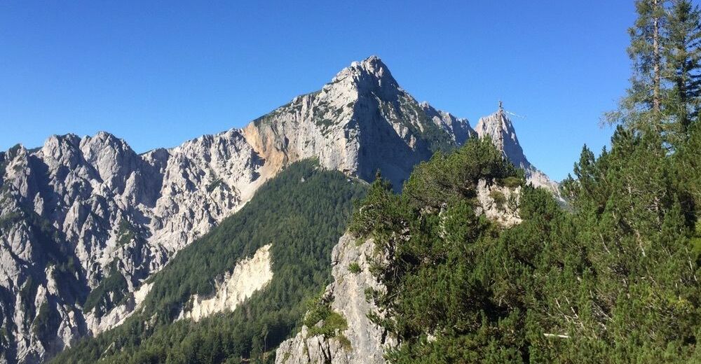
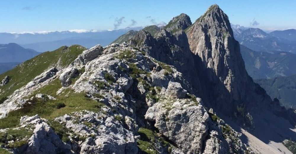
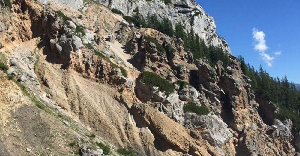
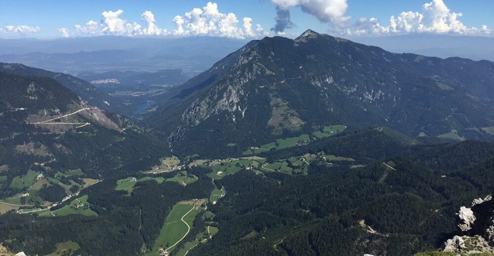
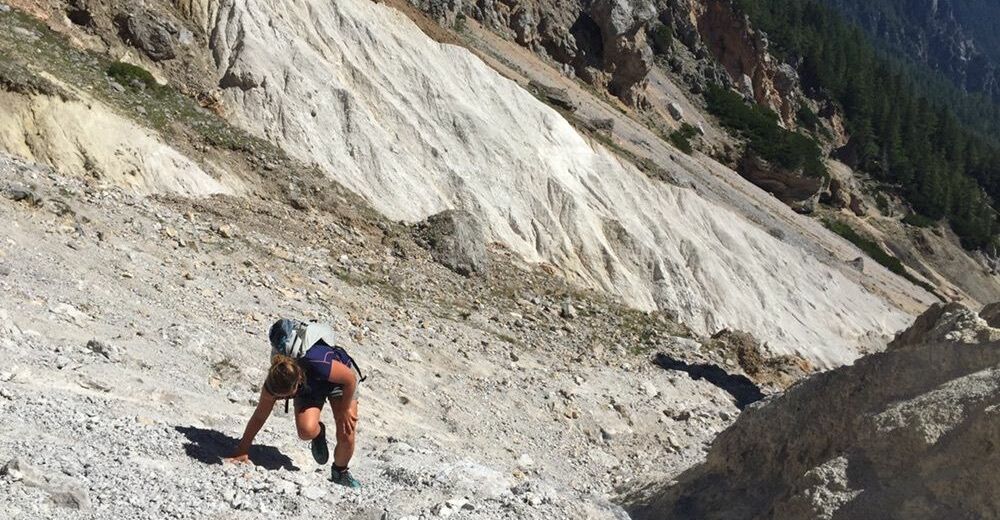
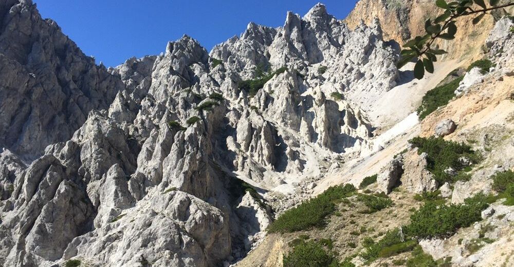
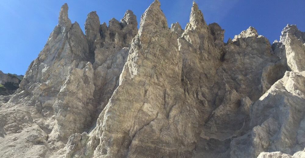
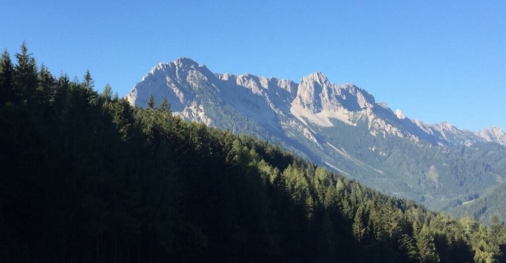
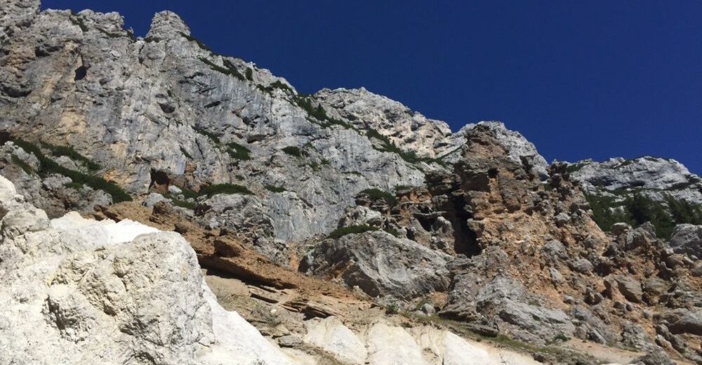
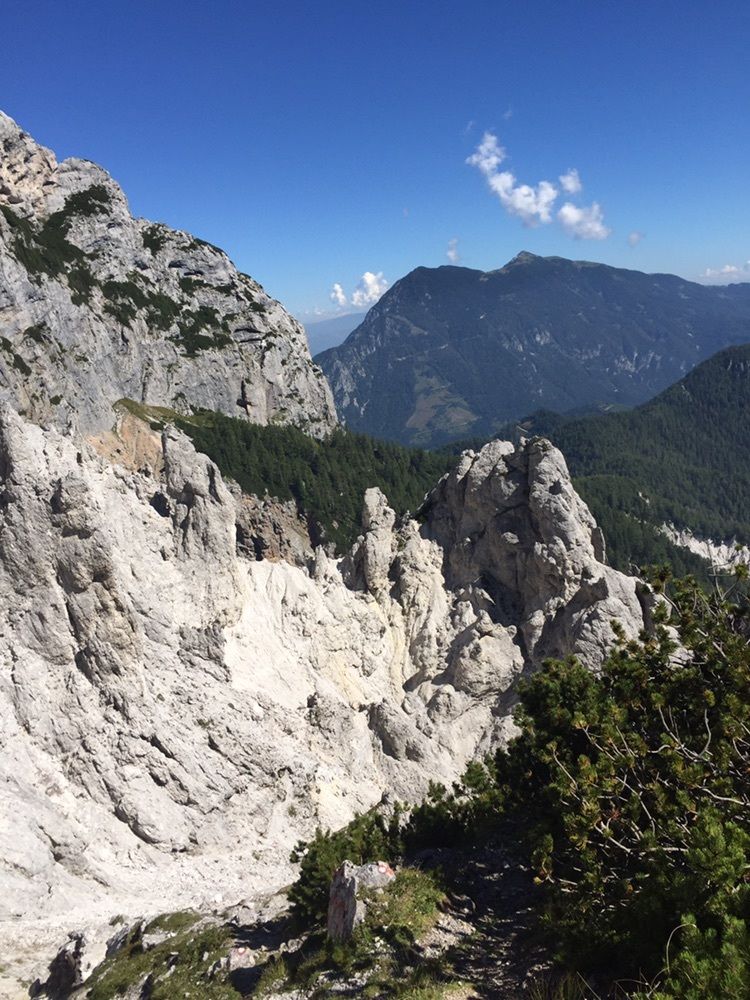
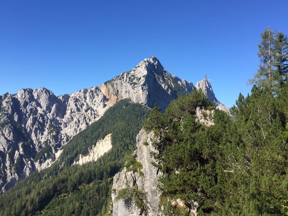
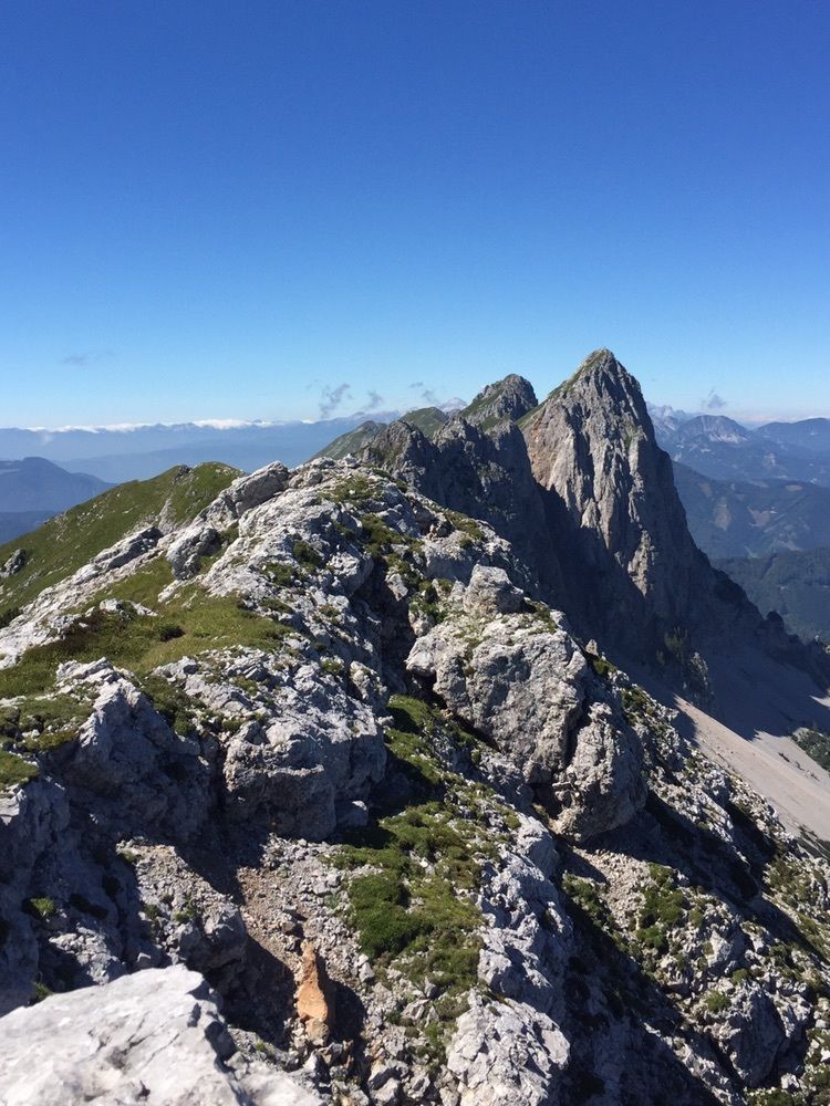
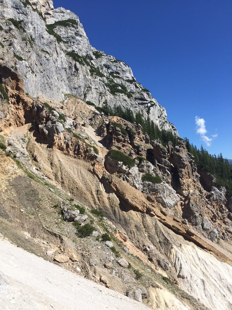
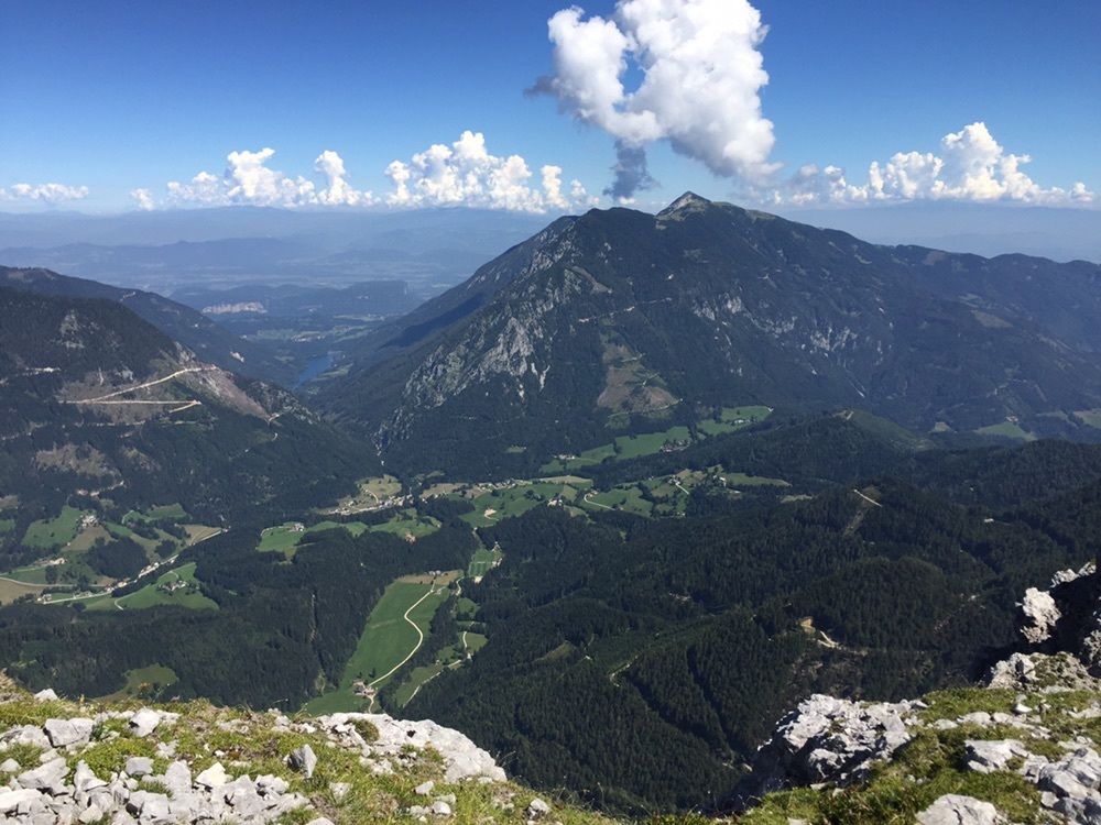
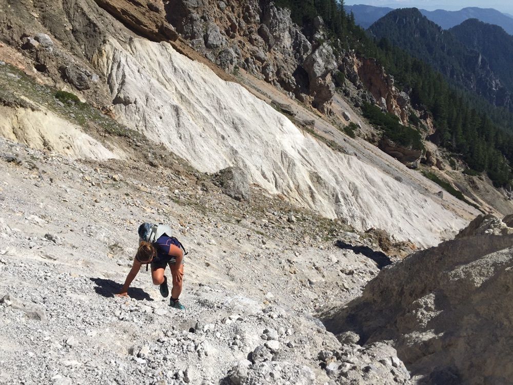
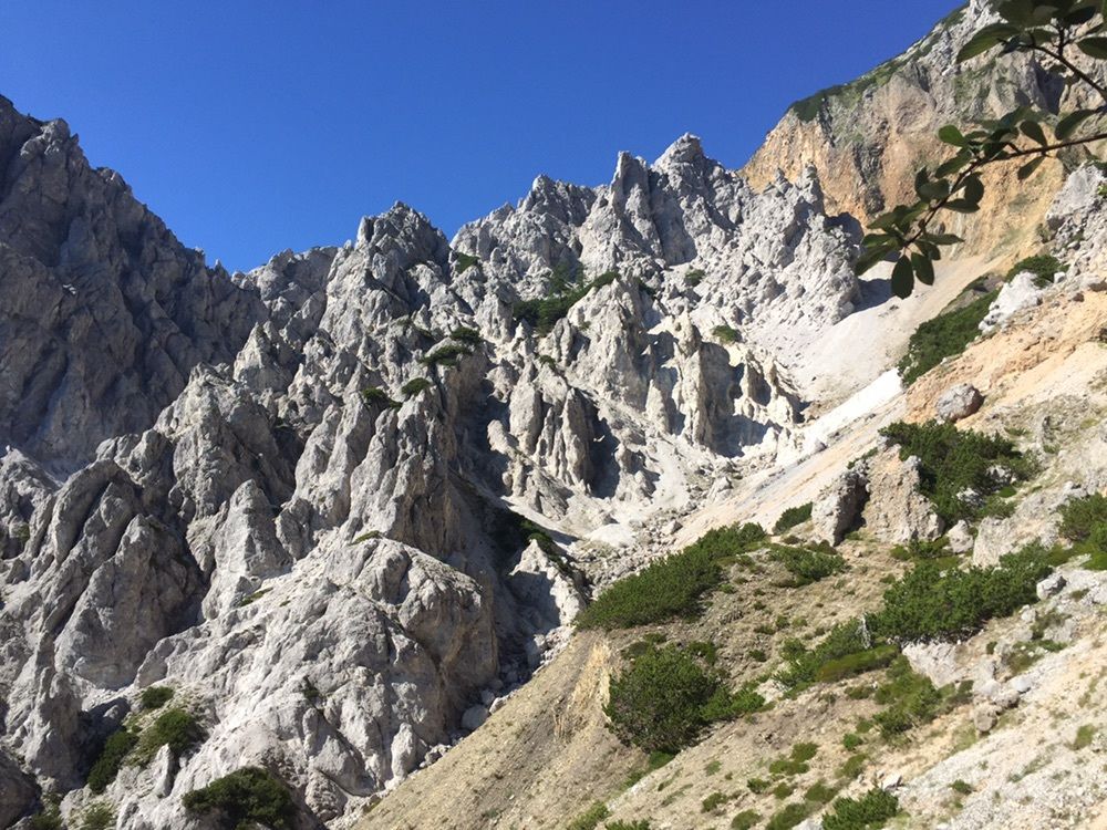
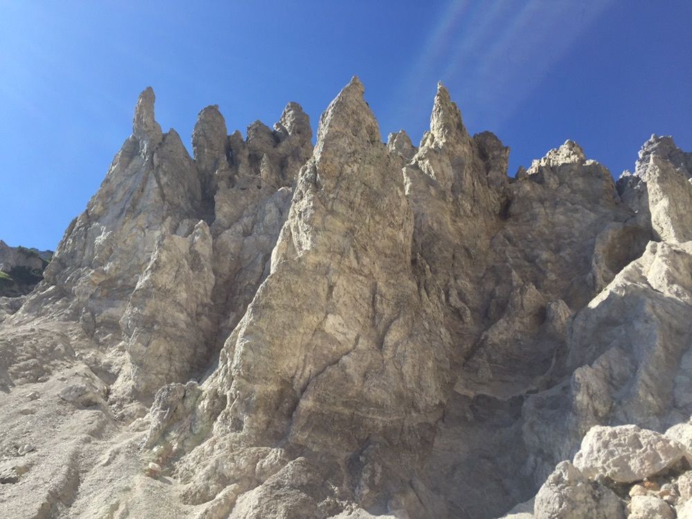
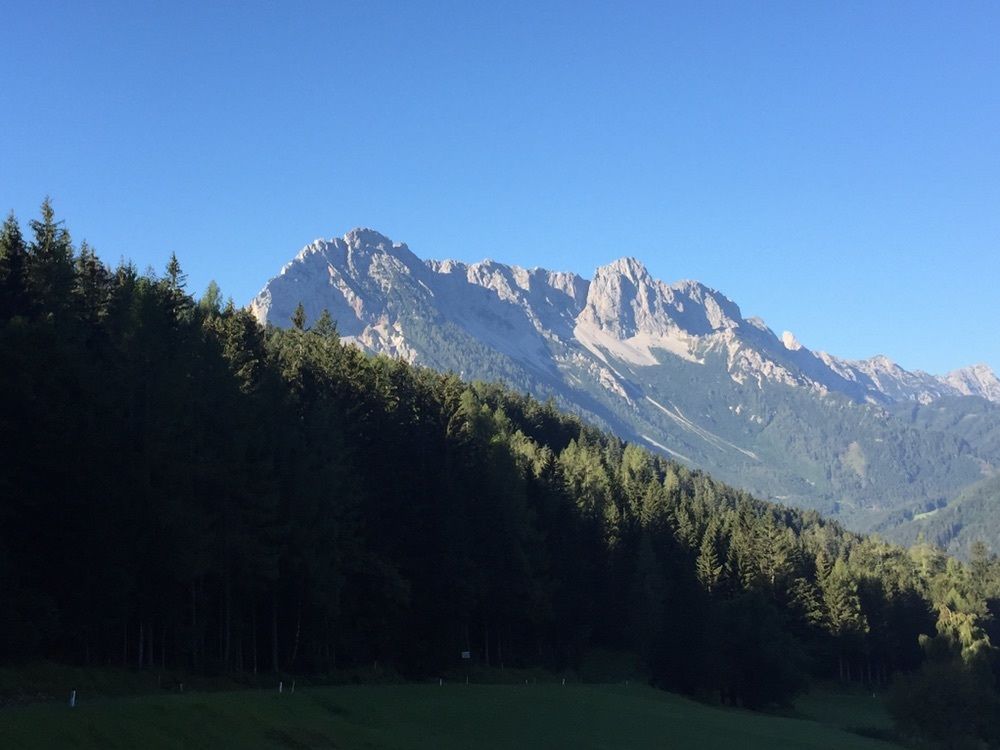
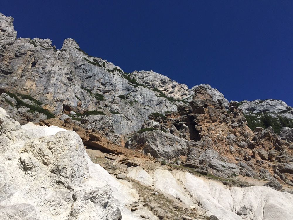
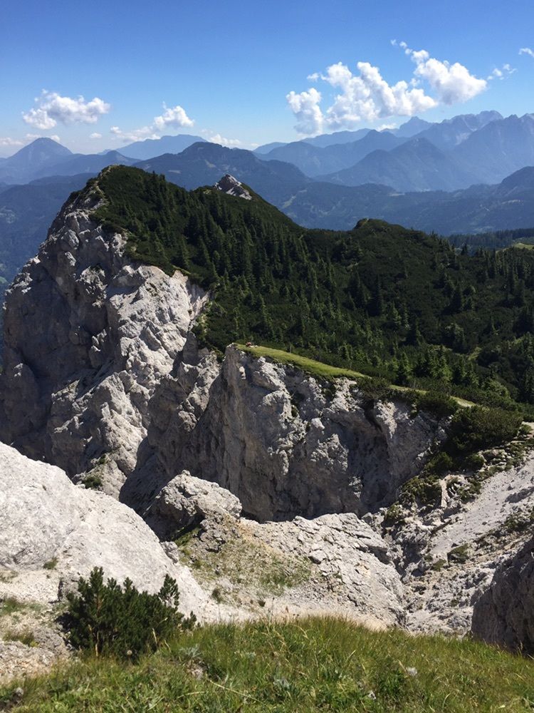
Wanderung vom Schaidasattel über den Weg 03 und den Geotrail auf die „Dicke Koschuta“
- Difficulty
-
difficult
- Rating
-
- Route
-
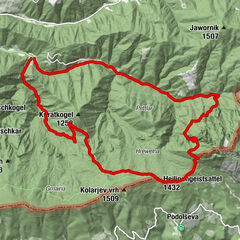
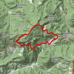
Schaidasattel (1,068 m)0.0 kmZell-Schaida0.6 kmMeležniksattel (1,158 m)1.6 kmMeleschnikturm (1,540 m)3.4 kmPotoksattel (1,411 m)4.7 kmDicke Koschuta (2,055 m)7.0 kmAdlersattel (1,672 m)7.8 kmPotoksattel (1,411 m)9.4 kmMeleschnikturm (1,540 m)10.8 kmMeležniksattel (1,158 m)12.4 kmZell-Schaida13.5 kmSchaidasattel (1,068 m)14.0 km
- Best season
-
JanFebMarAprMayJunJulAugSepOctNovDec
- Highest point
- 2,059 m
GPS Downloads


Other tours in the regions