


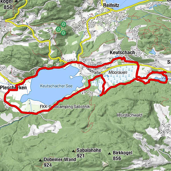
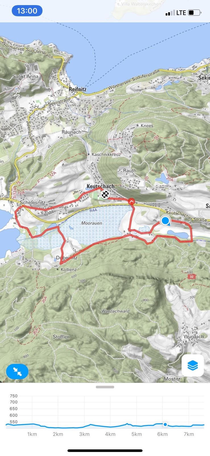
Tour data
14.02km
509
- 550m
154hm
155hm
03:29h
- Brief description
-
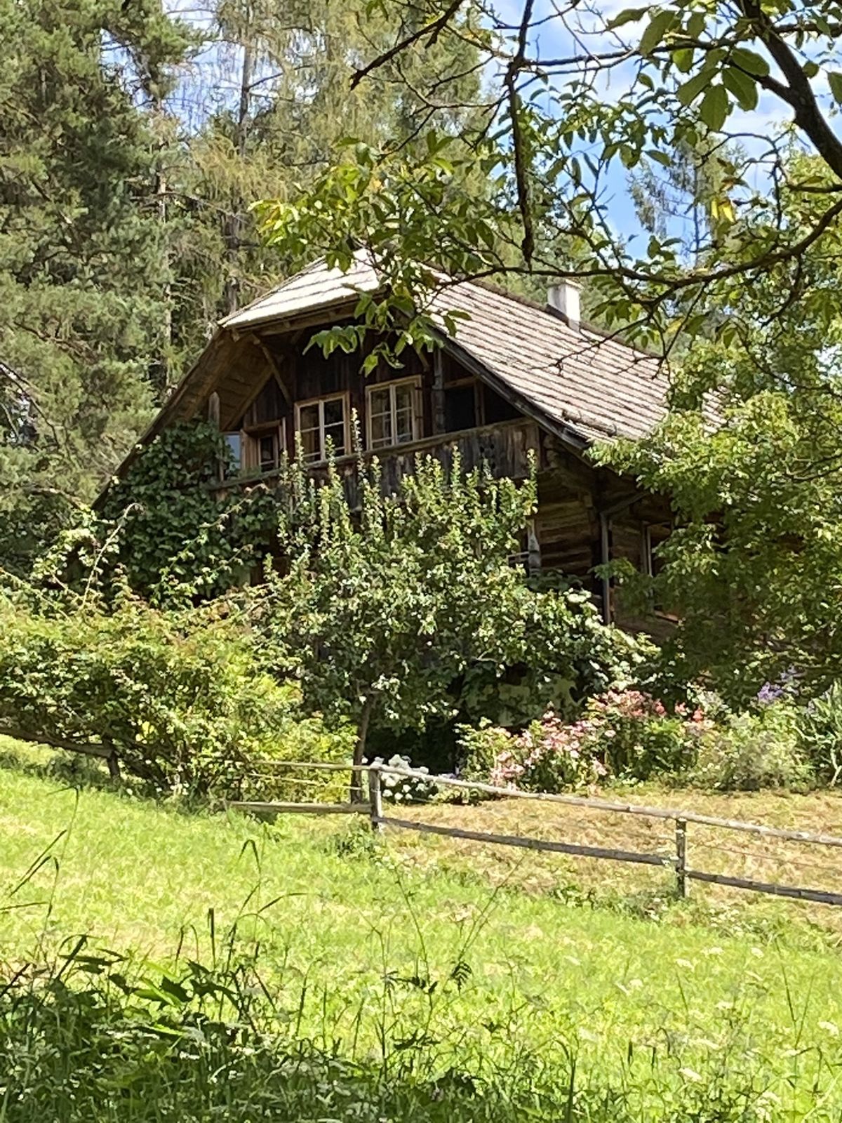
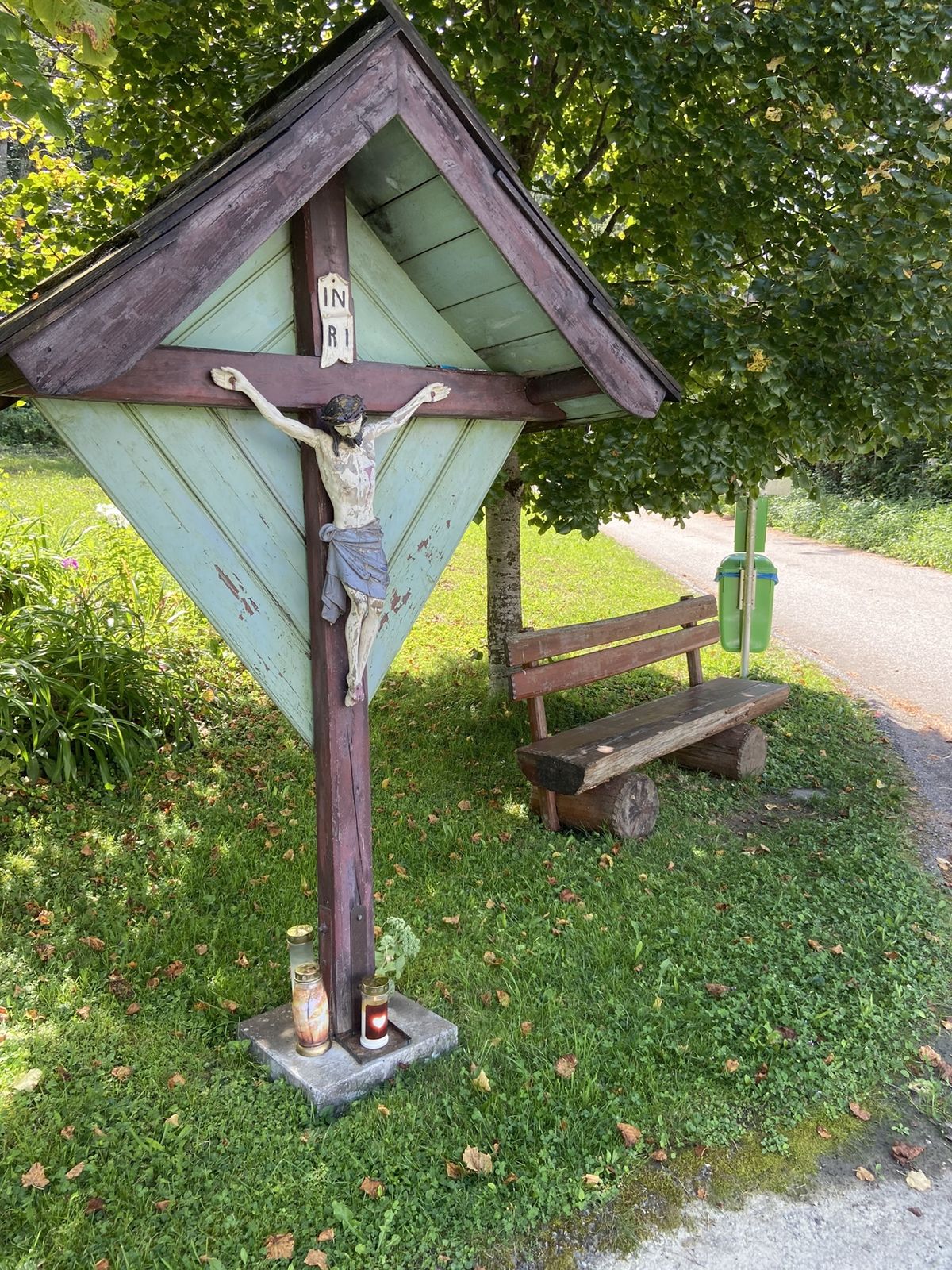
Leichte Wanderung ohne Steigung
- Difficulty
-
easy
- Rating
-
- Route
-
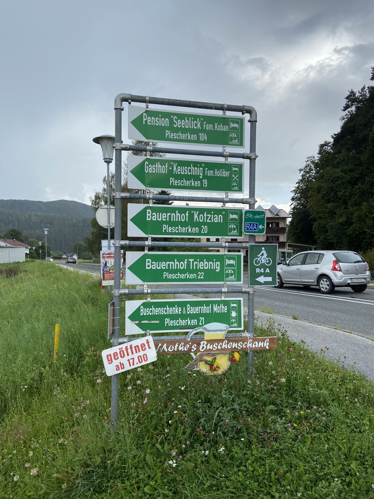
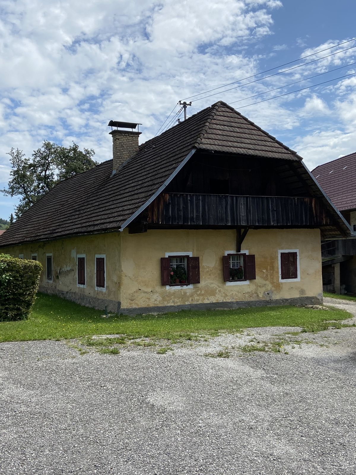
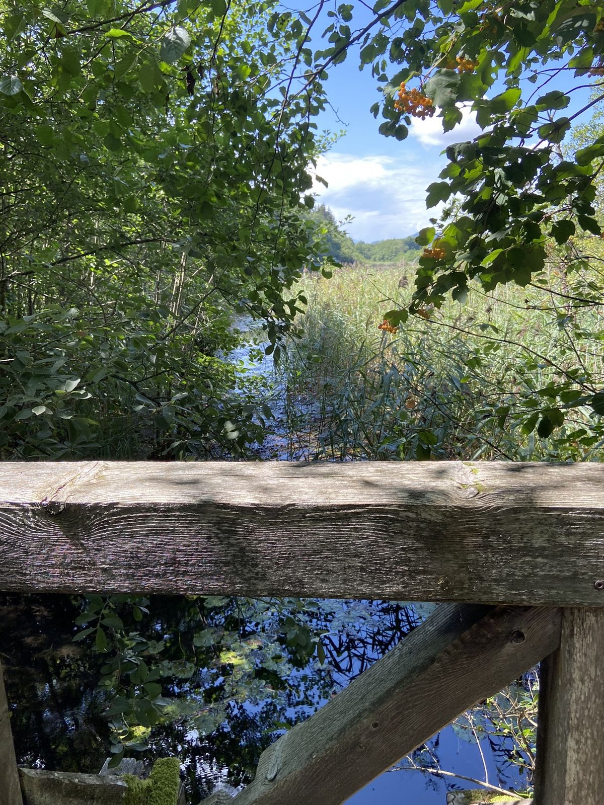
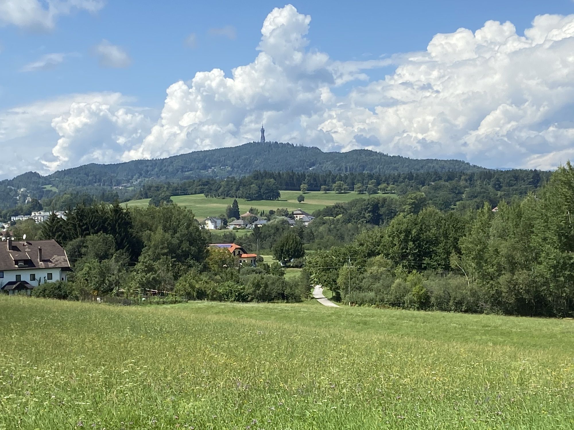
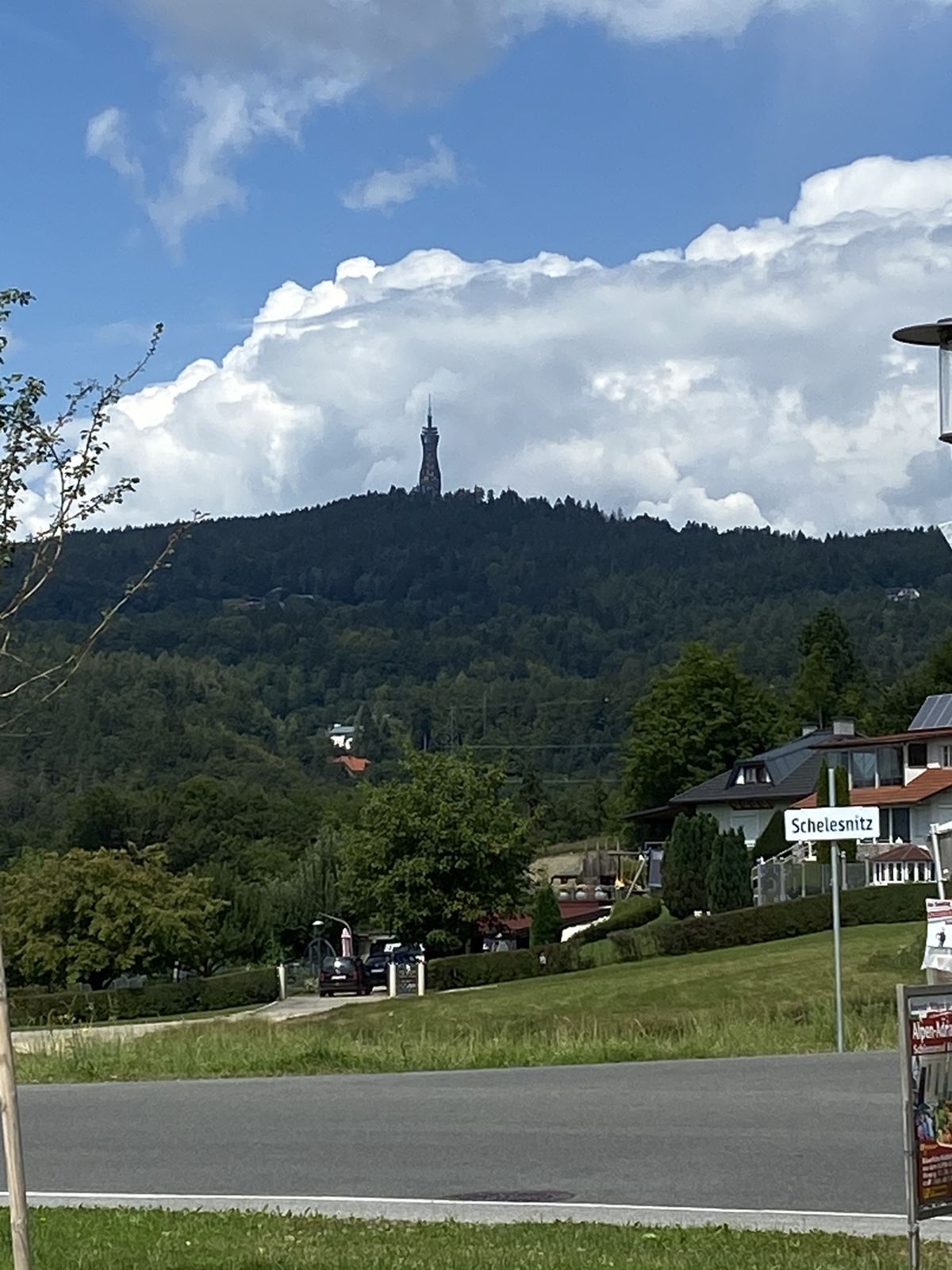
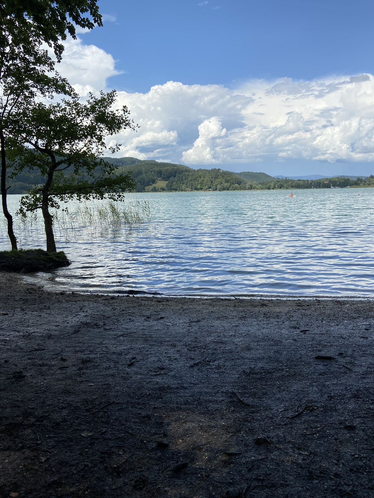
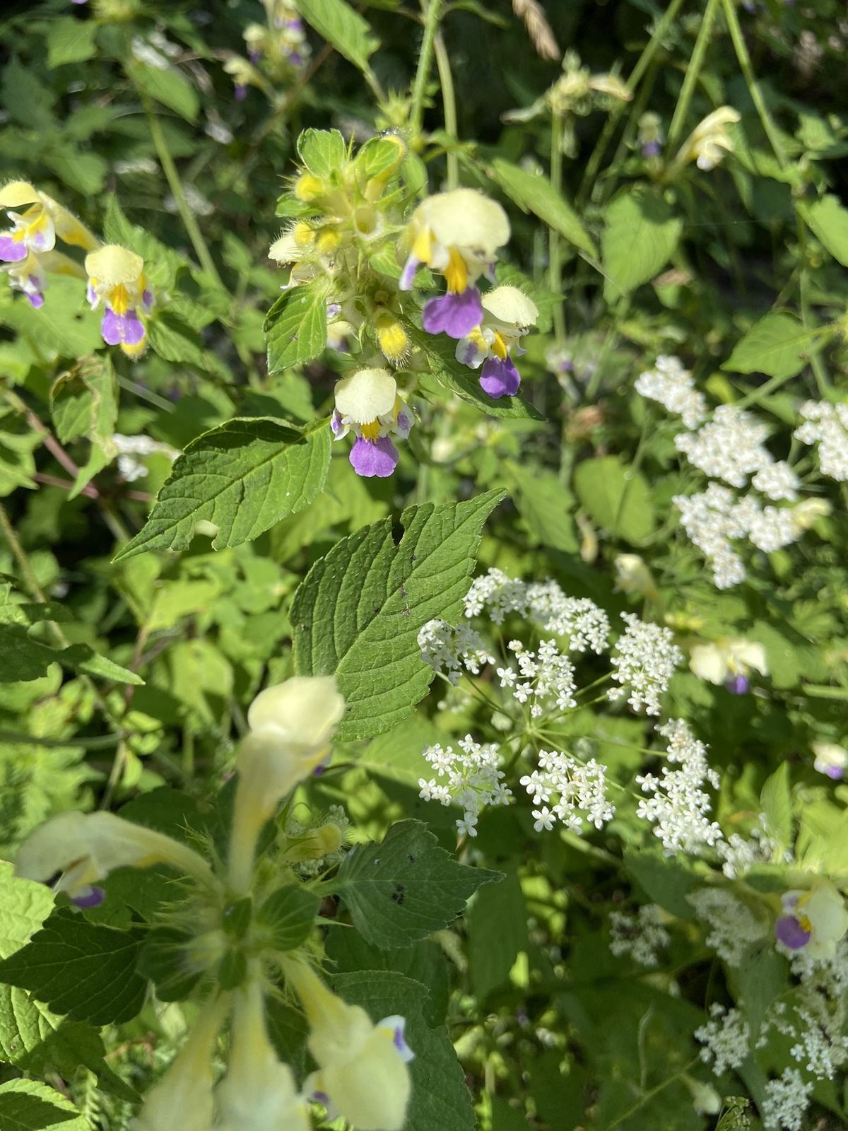
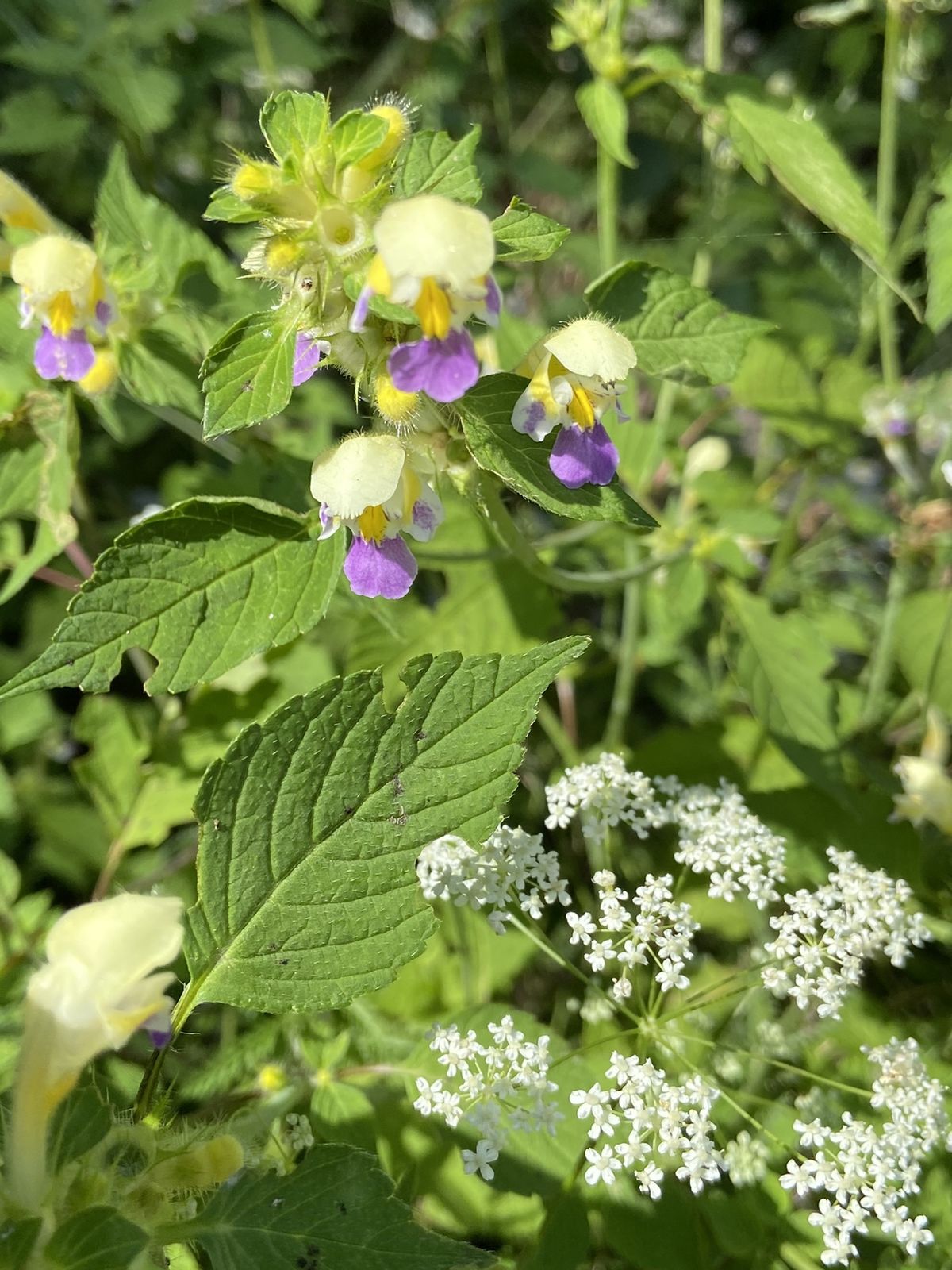
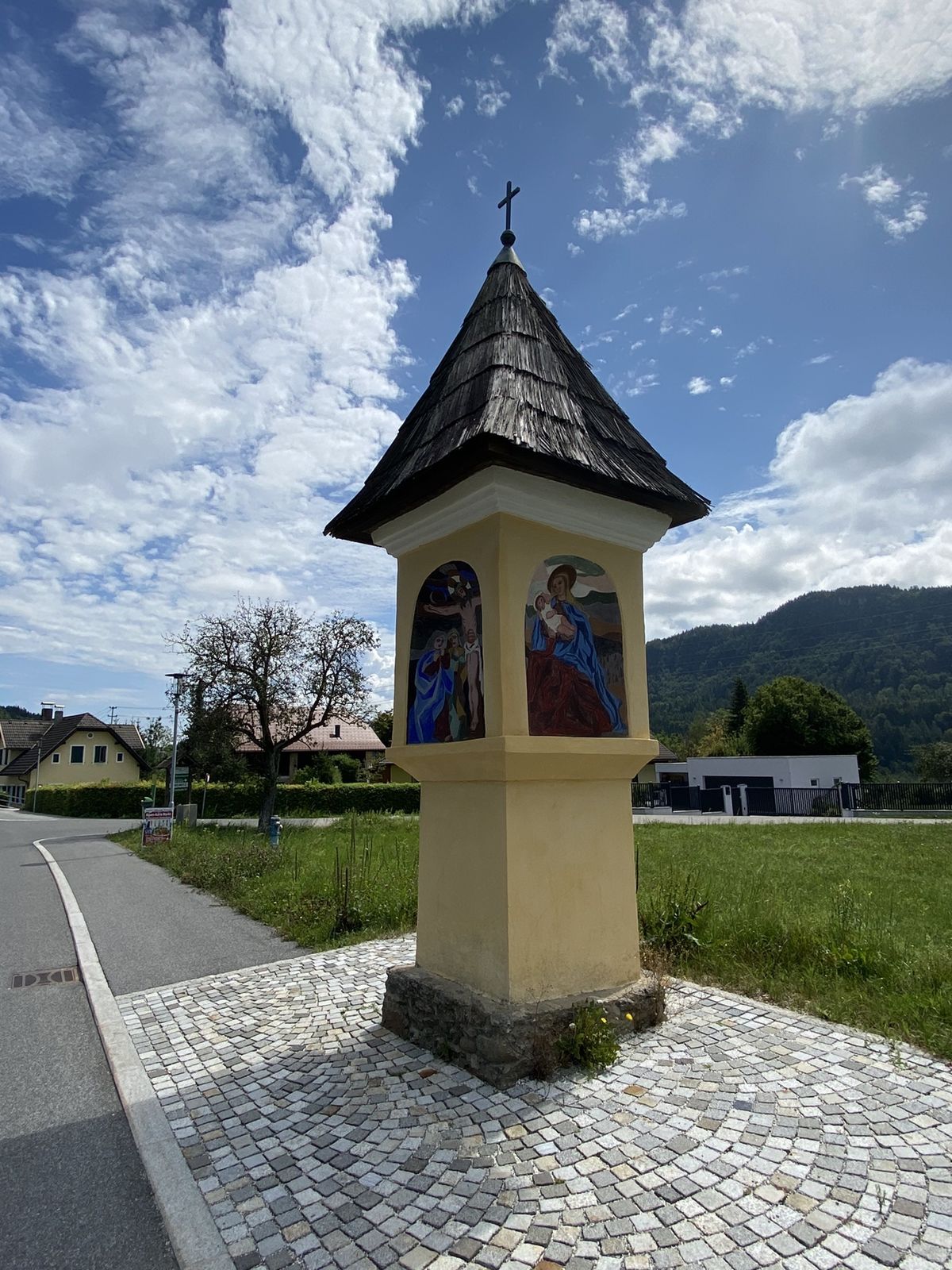
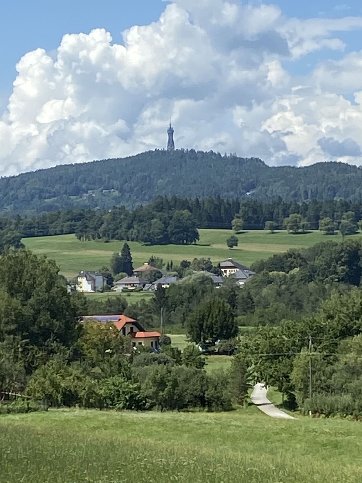
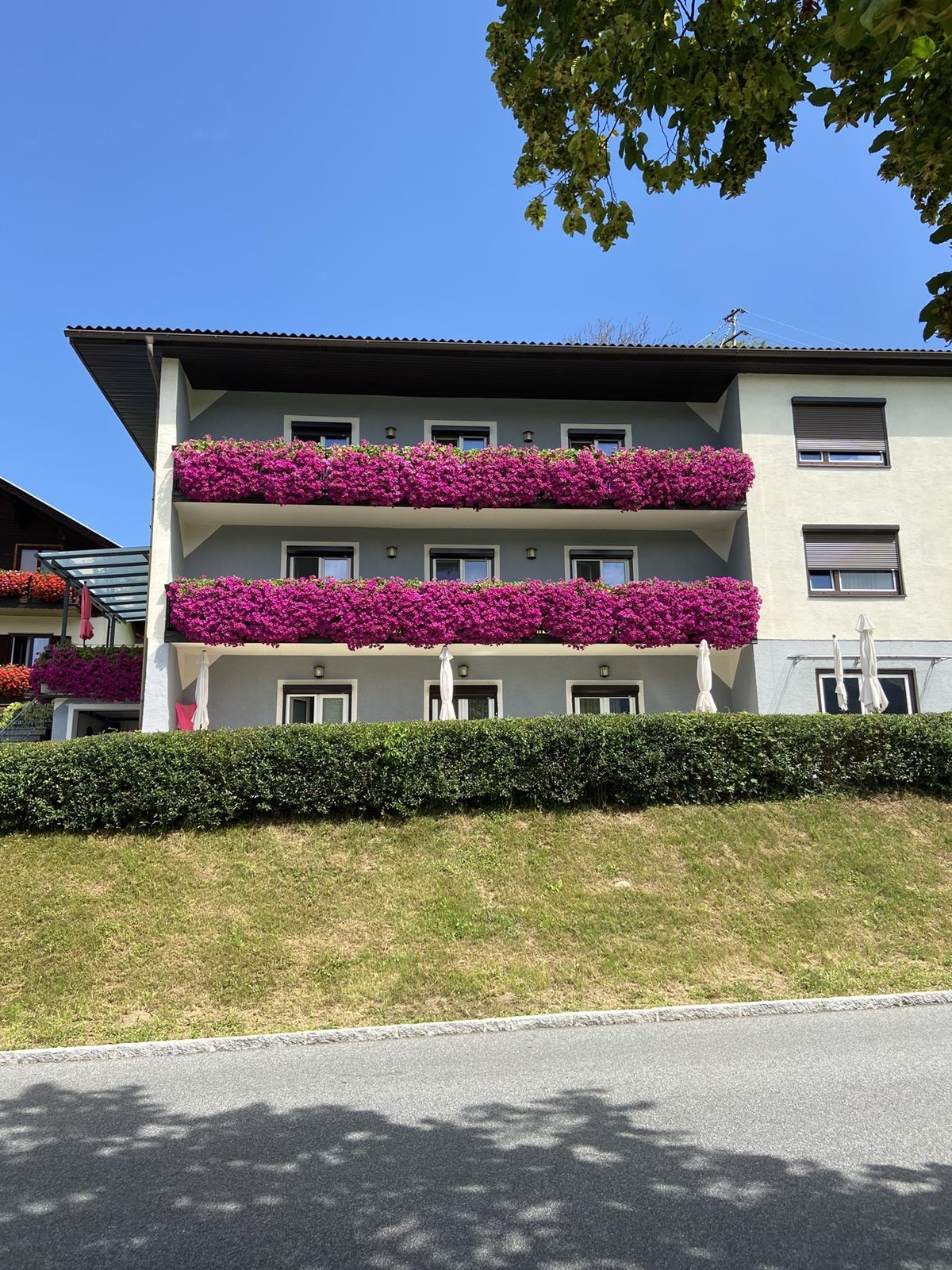
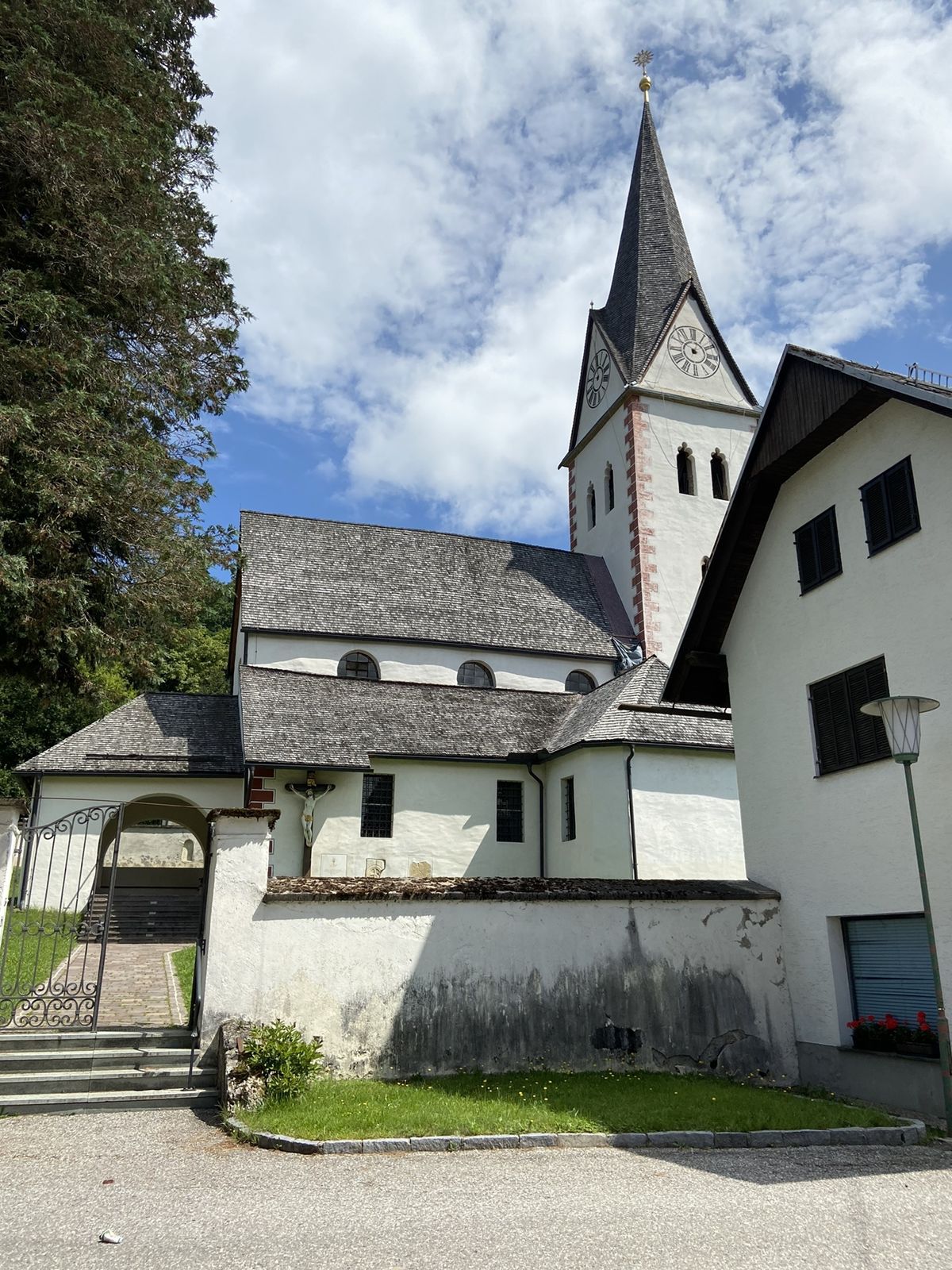
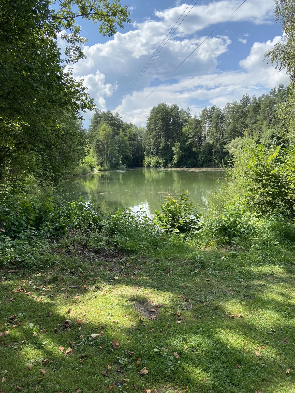
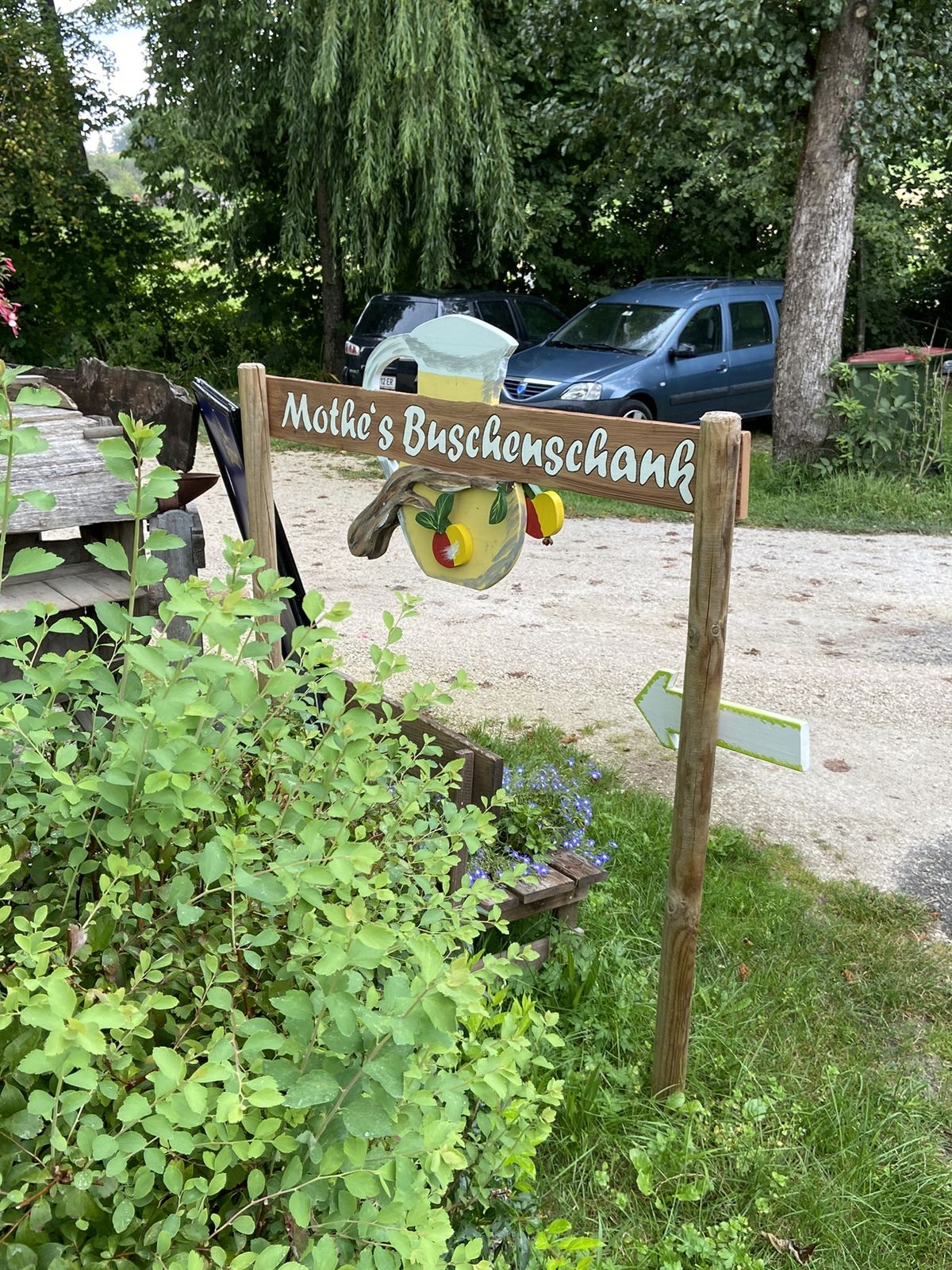
Schelesnitz0.0 kmVanda0.4 kmSchlossstadel1.1 kmSchlossstadel Keutschach1.1 kmKeutschach1.2 kmOsttiroler Botschaft1.2 kmSankt Georg1.3 kmDobeinitz5.8 kmSchmankerlwirt9.6 kmPlescherken11.0 kmBuschenschenke Mothe11.4 kmPlaschischen12.7 kmSchelesnitz13.9 km
- Highest point
- 550 m


GPS Downloads


Other tours in the regions


