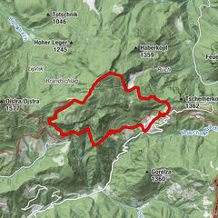
Tour data
9.8km
1,280
- 1,811m
934hm
05:30h

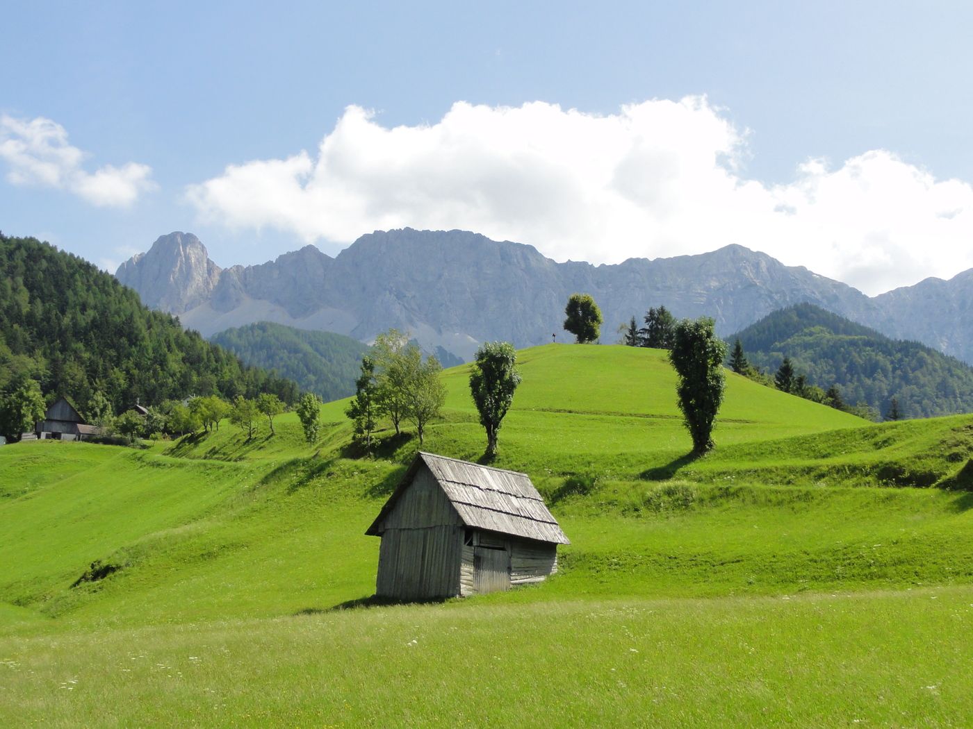
- Brief description
-
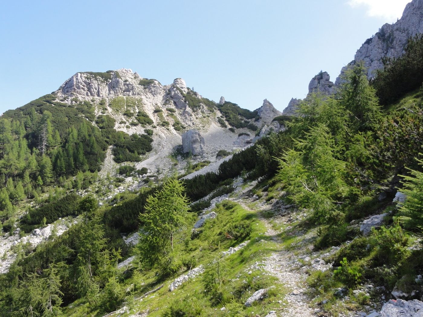
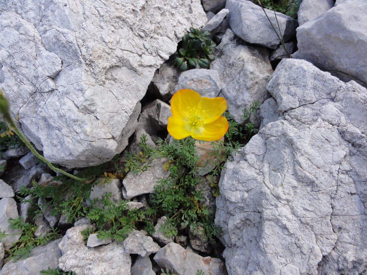
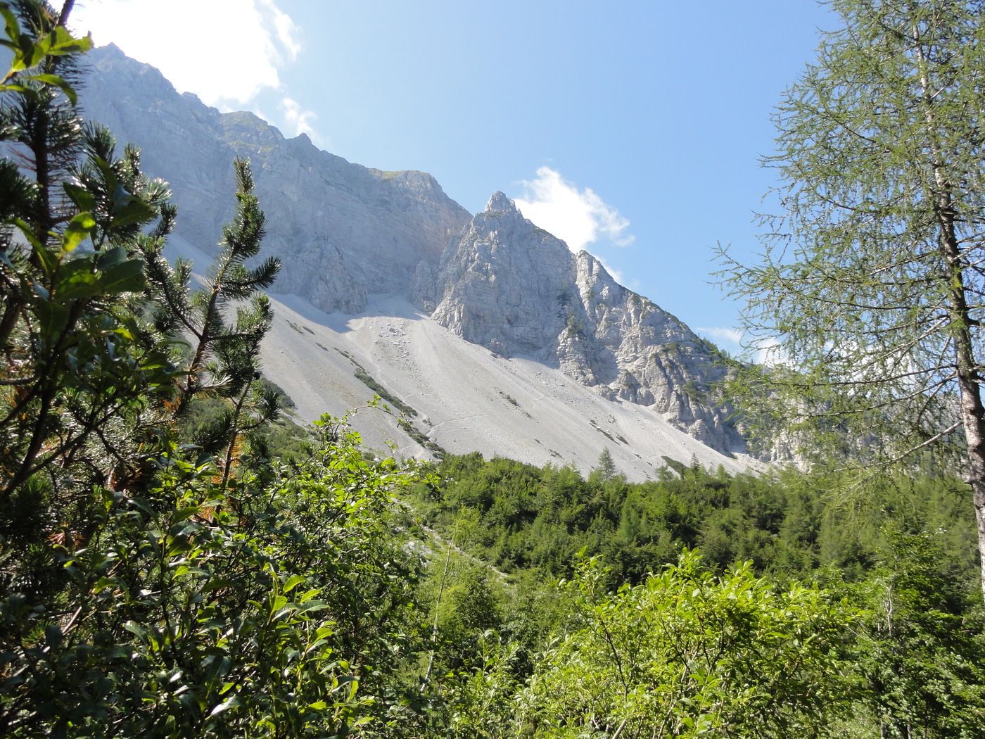
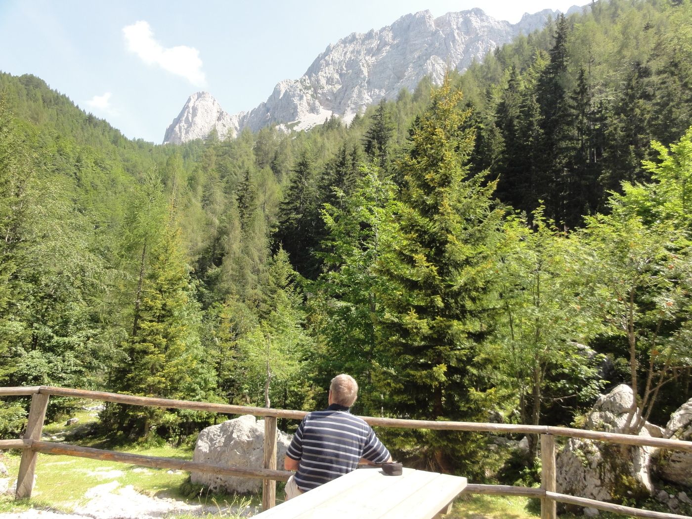
schöne Wanderung im alpinen Gelände
- Rating
-
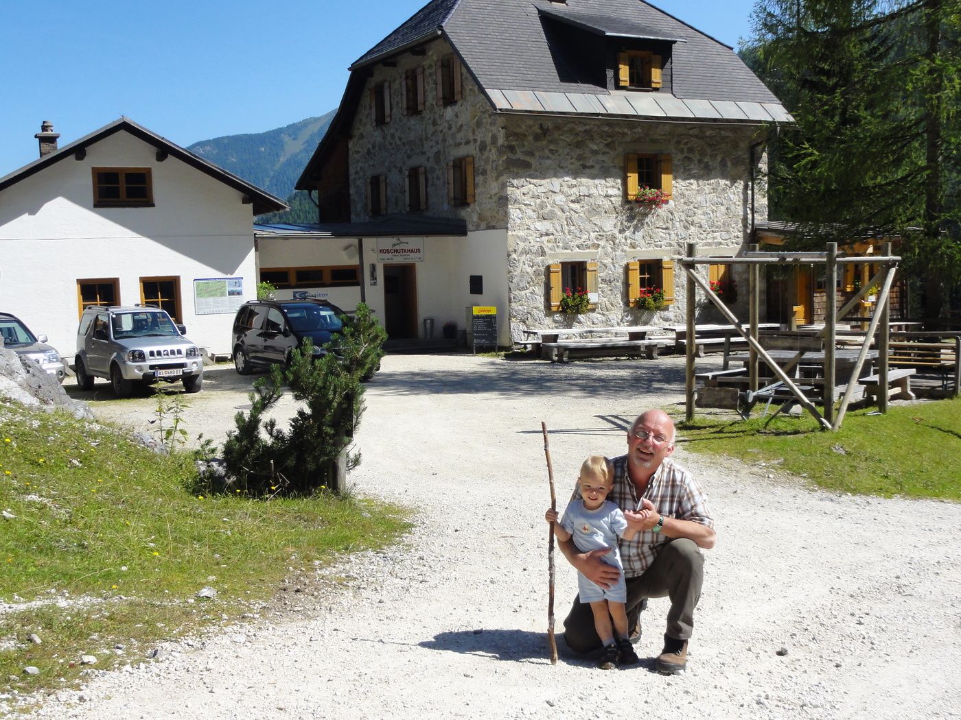
- Starting point
-
Koschutahaus
- Route
-
Mejniksattel (1,484 m)0.6 kmPotoksattel (1,411 m)4.8 km
- Highest point
- 1,811 m
- Rest/Retreat
-
Koschutahaus mit Kärntner Spezialitäten
- Ticket material
-
Freitag und Bernd Karte Nr.212. Vellach


GPS Downloads


Trail conditions
Asphalt
Gravel
Meadow
Forest
Rock
Exposed
Other tours in the regions