- Brief description
-
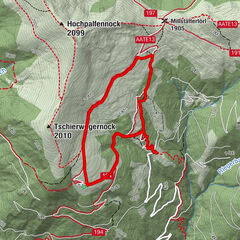
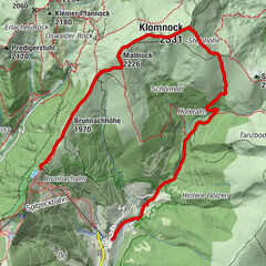
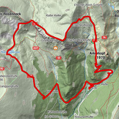
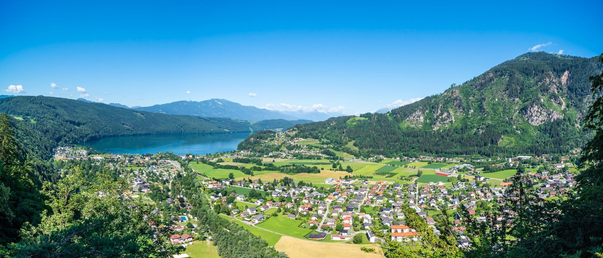
A circular trail that takes you to beautiful places and views of Döbriach and Lake Millstätter See!
- Difficulty
-
medium
- Rating
-
- Starting point
-
Touristinfo + Sagamundo, Hauptplatz 8, 9873 Döbriach
- Route
-
Döbriach0.9 kmWeiße Wand1.2 kmGlanz3.1 kmDöbriach6.0 kmPost Scriptum6.8 km
- Best season
-
JanFebMarAprMayJunJulAugSepOctNovDec
- Description
-
After a steep ascent from the Brandhoferweg at the foot of the Mirnock, the panoramic circular trail between leads across the glades of the Glanz and the viewing and resting points "White Rock" and "Orchid Wall" to the village of Glanz where you can marvel at the full length of Lake Millstätter See from above. Over meadows and through the beautiful leafy forest, the circular trail descends to the lake centre of Döbriach. Along the Riegerbach stream you return to the starting point at the main square.
- Directions
-
Pass the tourist office/Sagamundo on the right and cross the bridge along the Brandhoferweg, after a few metres turn right onto the forest road, which you follow to the village of Glanz. Before you reach the main road, turn right again and return to Döbriach across the meadow and through the forest. Along the Seefeldstraße you reach the Riegerbach stream, which you follow upstream into the centre of the village.
- Highest point
- 801 m
- Endpoint
-
Touristinfo + Sagamundo, Hauptplatz 8, 9873 Döbriach
- Height profile
-

- Equipment
-
Sturdy shoes, sun and rain protection
- Tips
-
Easy family hike
- Directions
-
from the east Südautobahn (A2) Vienna - Graz - Klagenfurt - Villach - Spittal/Drau; or from Villach via the Gegendtal to Radenthein/Döbriach - Millstätter Seefrom the south Autostrada Udine - Tarvisio - Villach - Spittal/Drau; or from Villach via the Gegendtal to Radenthein/Döbriach - Millstätter See; from the west Innsbruck - Felbertauernstraße or Brennerautobahn/Pustertal to Lienz - Oberdrauburg - Spittal/Drau to Radenthein/Döbriach - Millstätter Seefrom the north Munich - Salzburg - Tauernautobahn (A10) direction Spittal/Drau to exit Millstätter See (left turn) to Radenthein/Döbriach - Millstätter SeeTranslated with www.DeepL.com/Translator (free version)
- Parking
-
Public car parks in Seefeldstraße, car park at Fischerpark (charges apply in summer).
-

-
AuthorThe tour Döbriach Panorama Trail is used by outdooractive.com provided.