
- Brief description
-
Not for the late risers!
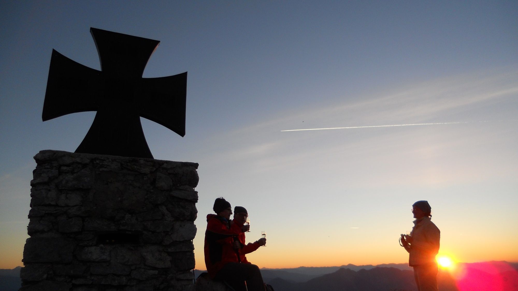
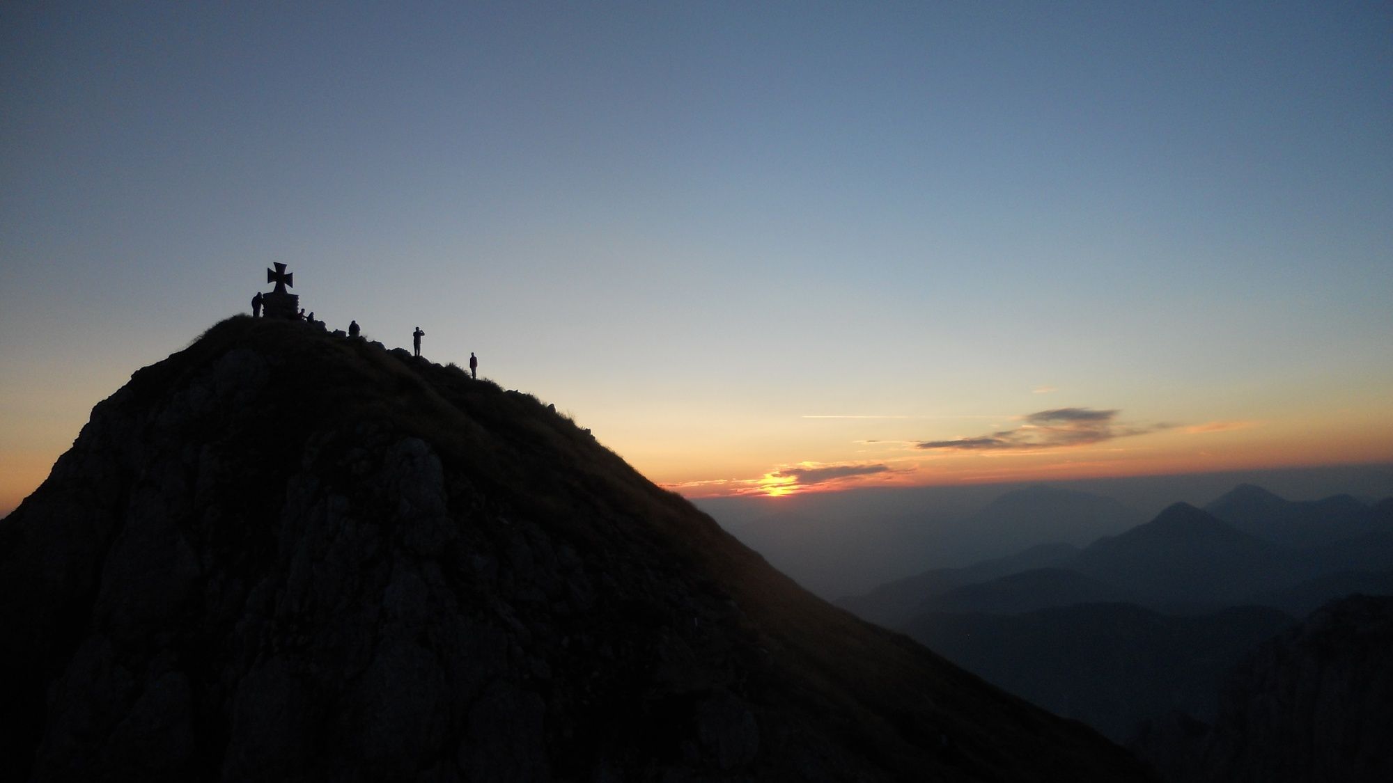
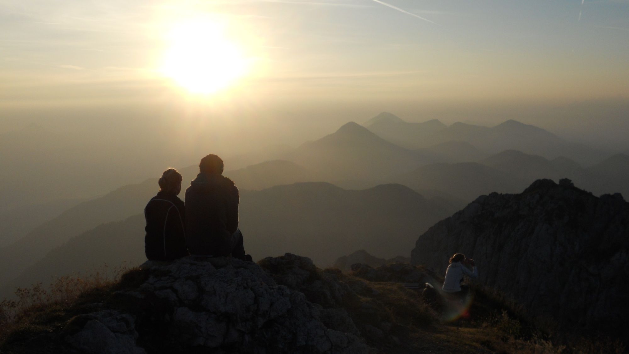
If you want to experience a sunrise, you have to jump out of bed early. Standing at the summit of the Gartnerkofel (2,195 m) when the sun bathes the surrounding mountains in a golden shimmering light is always an unforgettable experience.
- Difficulty
-
medium
- Rating
-
- Route
-
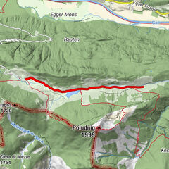
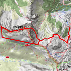
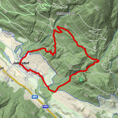
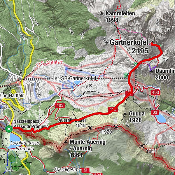
Gartnerkofel (2,195 m)3.3 km
- Best season
-
JanFebMarAprMayJunJulAugSepOctNovDec
- Description
-
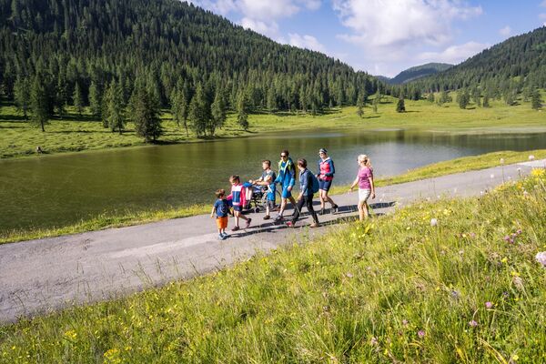
We start in the darkness of the night on the Garnitzenweg to the Garnitzenthörl, where we see the light of Luschari in the Julian Alps, short drinking break at the top station of the Gartnerkofelbahn - further on at dawn towards the summit - first dawn colours the sky and so there are always amazing views into the valley (Hermagor Pressegger See), or up to the summit cross. After about 1.5 hours walking time we are at the summit, another hearty Berg Heil and already all eyes and cameras are directed towards the reddish coloured sky.
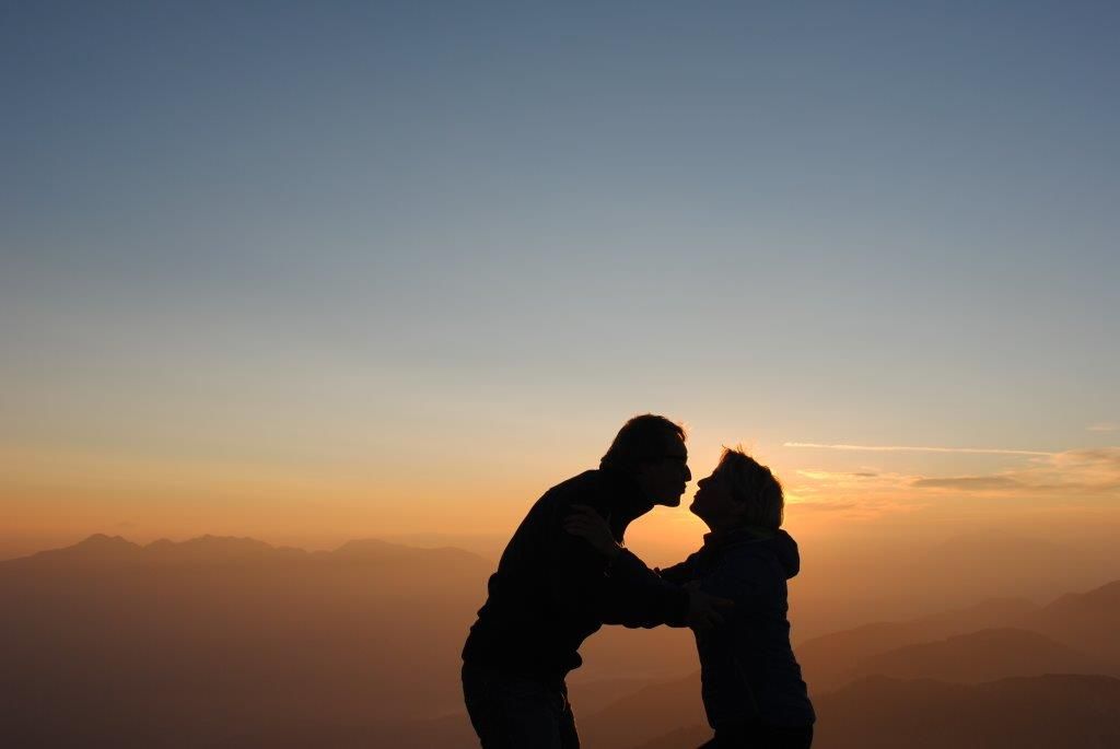
Silence and touching moments - everyone perceives the sunrise differently - but all agree - it is a special experience!
With many photos on the memory card we set off for the Watschiger Alm, enjoy the good alpine breakfast, with wonderfully fragrant coffee, hearty alpine products and delicious Reindling.
- Directions
-
Via the Garnitzenweg to the Garnitzenthörl, a short break at the top station of the Gartnerkofel chairlift, across the ski slope to the top station of the FIS lift and on towards the summit. Afterwards a hearty alpine breakfast with coffee and Carinthian Reindling awaits you on the Watschiger Alm.
- Highest point
- 2,162 m
- Endpoint
-
Gartnerkofel
- Height profile
-

- Equipment
-
Sturdy shoes, rain gear, torch or headlamp and camera to capture the unforgettable experience!
- Tips
-
Registration for the guided sunrise hike at the Information and Service Center info@nassfeld.at or +43 (0) 4285 /8241
- Directions
-
By car we drive the B99 "Nassfeldpassstraße" up to the pass height (national border).
- Public transportation
-
Unfortunately there is no public transport to the Nassfeld at this time of day.
- Parking
-
Parking facilities directly at the state border at the Nassfeldpass.


- Author
-
The tour Gartnerkofel - Sonnenaufgangswanderung is used by outdooractive.com provided.