© Carnica-Region Rosental/ Jörg Schmöe www.js-foto.com
© Erich Künstl
© Carnica-Region Rosental
© Carnica-Region Rosental
Tour data
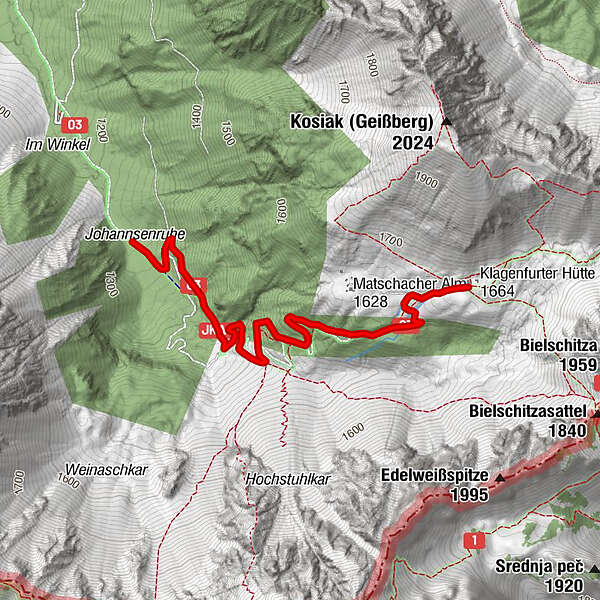
3.07km
1,236
- 1,658m
366hm
366hm
02:30h
- Brief description
-
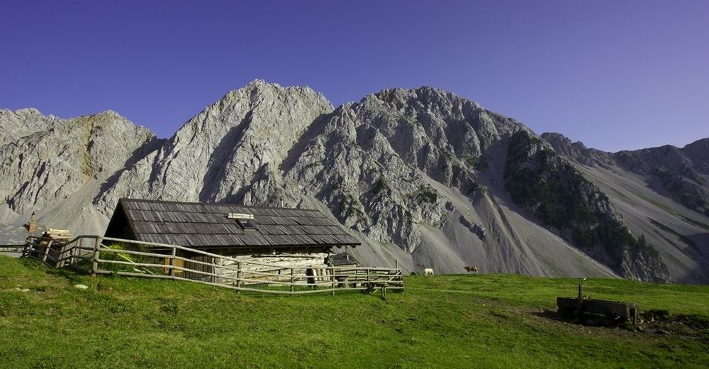
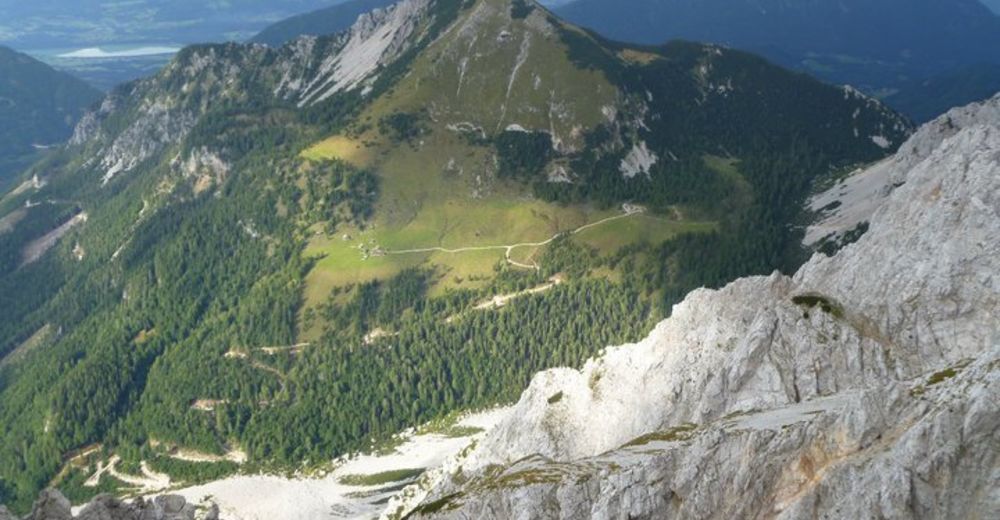
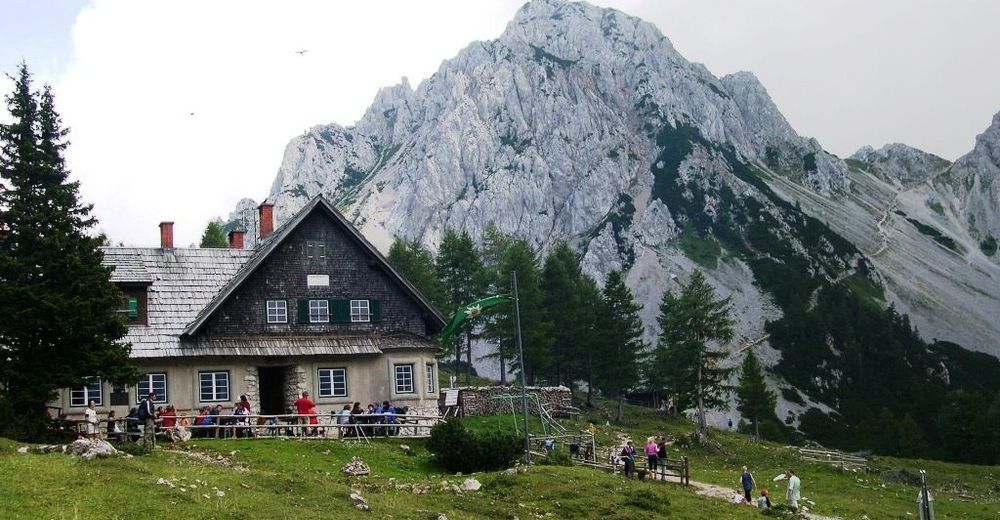
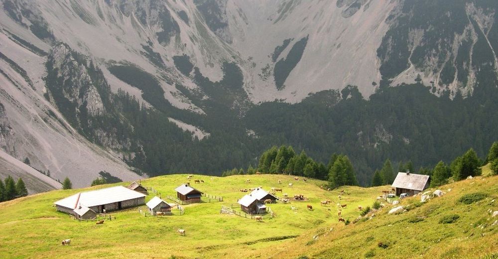
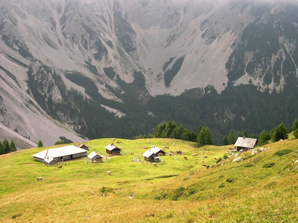
Familienwanderung in einer beeindruckenden Berglandschaft.
- Difficulty
-
easy
- Rating
-
- Starting point
-
Parkplatz Johannsenruhe
- Route
-
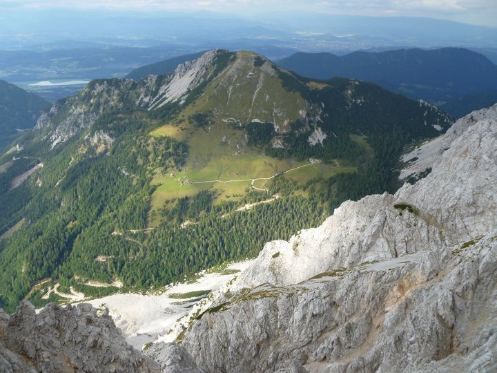
JohannsenruheKlagenfurter Hütte (1,664 m)3.0 km
- Best season
-
JanFebMarAprMayJunJulAugSepOctNovDec
- Highest point
- 1,658 m
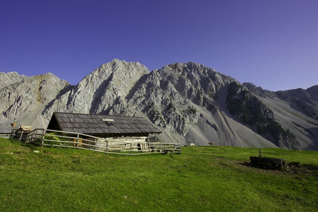
- Rest/Retreat
-
Klagenfurter Hütte
- Ticket material
-
WK 234, freytag und berndt
Carnica-Region Rosental, Sponheimer Platz 1, 9170 Ferlach
www.carnica-rosental.at

GPS Downloads


Trail conditions
Asphalt
Gravel
Meadow
Forest
Rock
Exposed
Other tours in the regions
-
Wörthersee - Rosental
1956
-
Bodental
278