© Hotel Kreuzwirt - Franz Aigner

© Hotel Kreuzwirt - Franz Aigner

© Hotel Kreuzwirt - Franz Aigner

© Hotel Kreuzwirt - Franz Aigner

© Hotel Kreuzwirt - Franz Aigner

© Hotel Kreuzwirt - Franz Aigner

- Difficulty
-
medium
- Rating
-
- Route
-
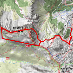
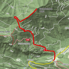
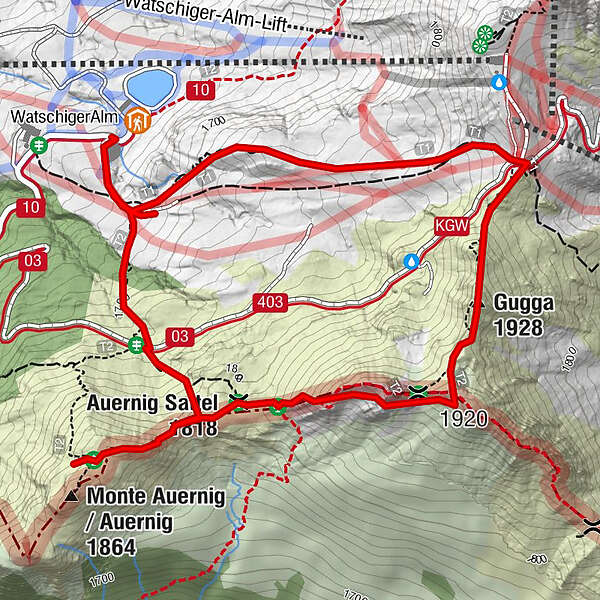
Gugga (1,928 m)1.6 kmGarnitzenberg (1,950 m)1.8 kmAuernig Sattel (1,818 m)2.3 km
- Best season
-
JanFebMarAprMayJunJulAugSepOctNovDec
- Highest point
- 1,910 m
- Height profile
-


-

-
AuthorThe tour Geotrail Auernig is used by outdooractive.com provided.
GPS Downloads


General info
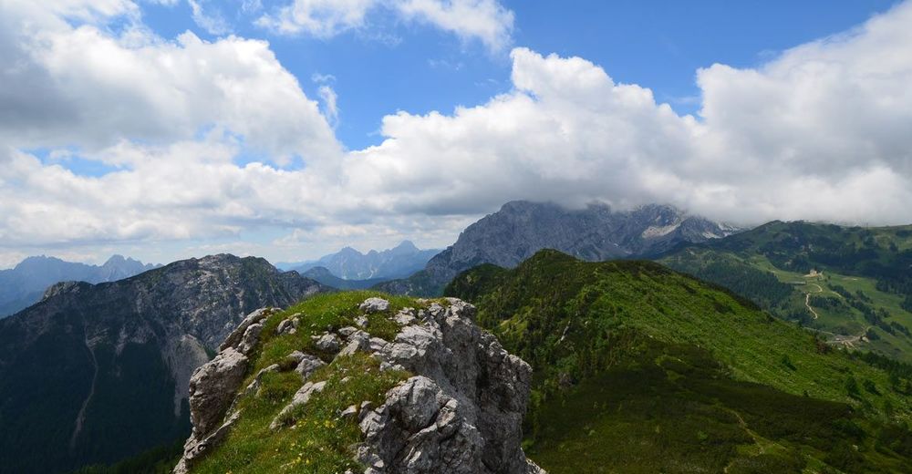
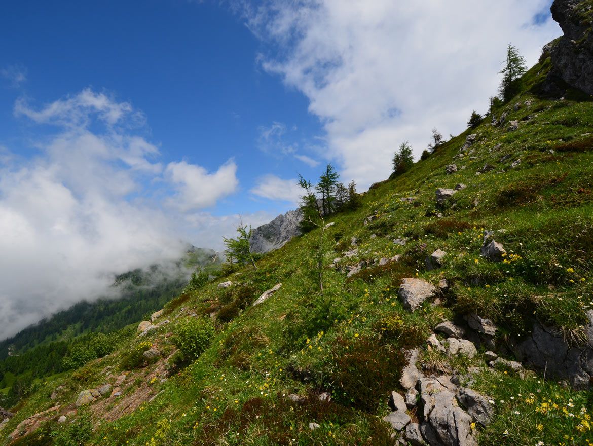
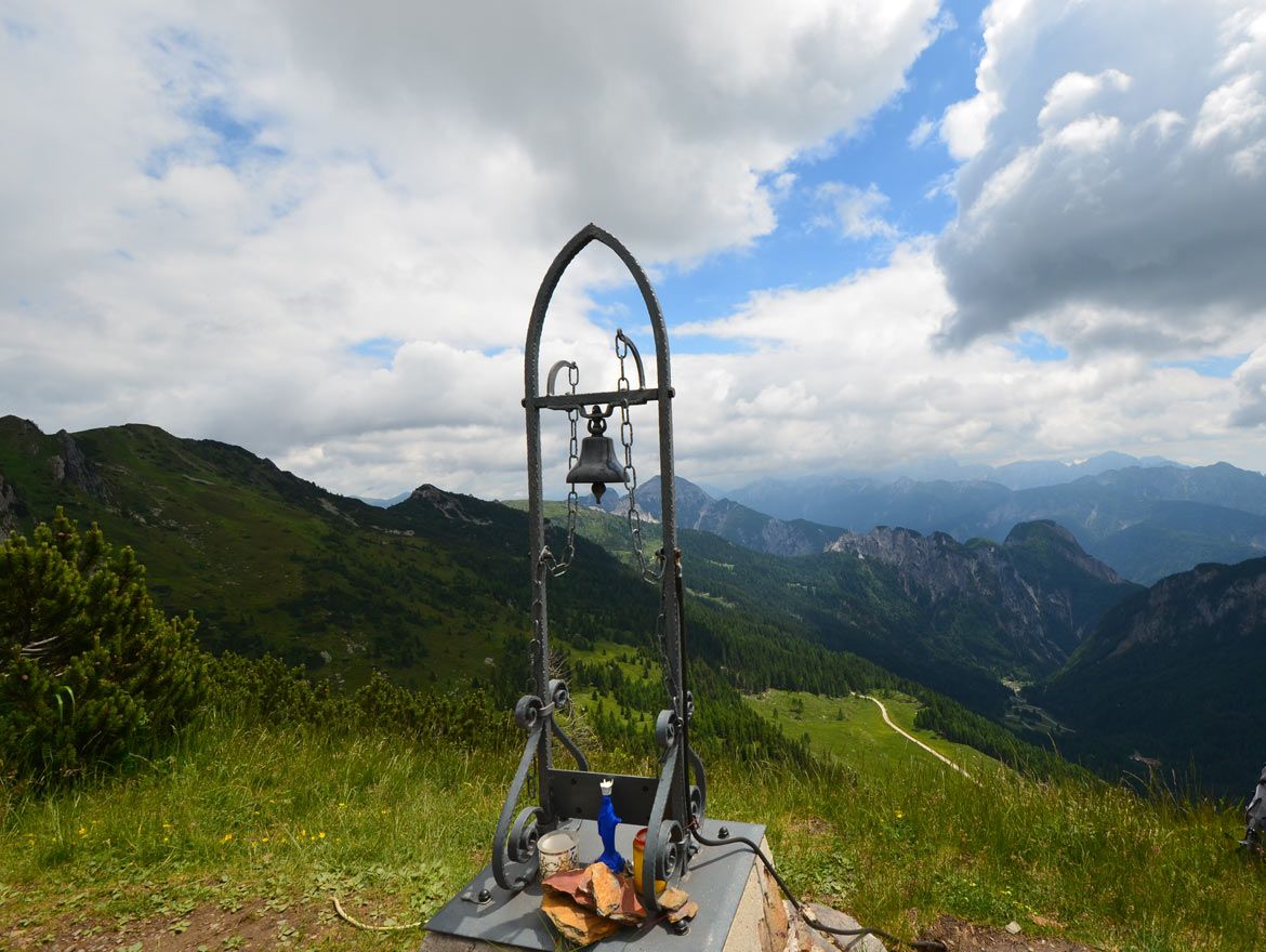
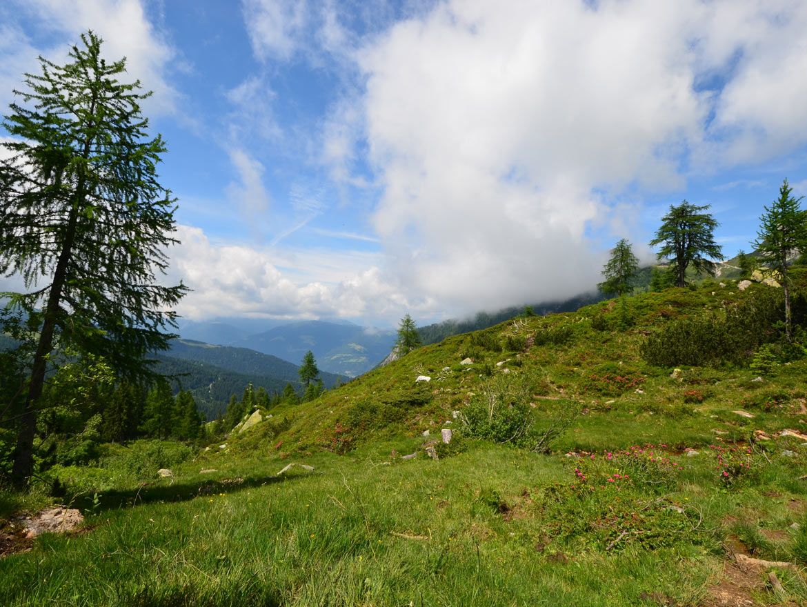
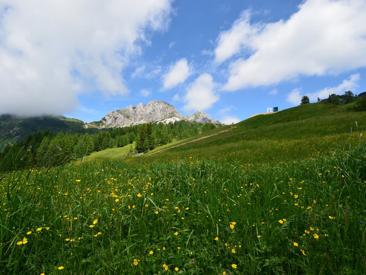
A lot of view
Other tours in the regions