


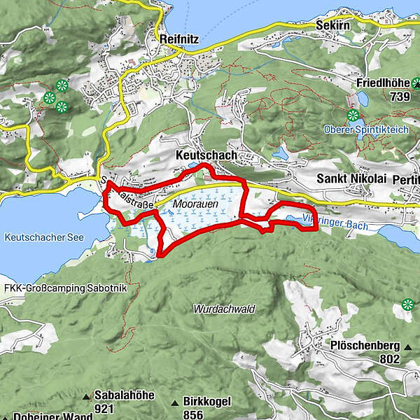
Tour data
7.98km
503
- 537m
123hm
02:00h
- Rating
-
- Starting point
-
Schloss Keutschach
- Route
-
Osttiroler Botschaft0.0 kmSankt Georg0.0 kmKeutschach0.1 kmSchlossstadel Keutschach0.2 kmSchlossstadel0.2 kmVanda0.7 kmSchelesnitz0.8 kmDobeinitz3.2 kmOsttiroler Botschaft7.5 km
- Highest point
- 537 m
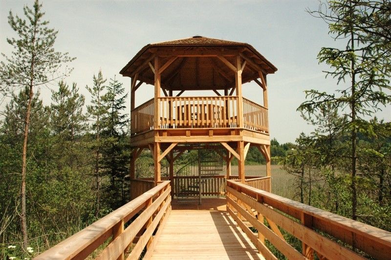
- Rest/Retreat
-
Keutschacher Schlossstadel, Buschenschenke Liendl
- Ticket material
-
Wörthersee - Die schönsten Wanderungen, Radtouren und Ausflugsziele. Erhältlich in den Infobüros rund um den Wörthersee und im Keutschacher Seental.


GPS Downloads


Other tours in the regions


