© NLW Tourismus Marketing GmbH - Tourismusinfo Nassfeld-Pressegger See
- Brief description
-
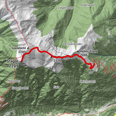
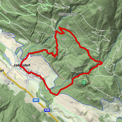
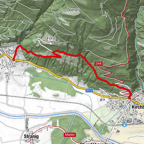
Von Kirchbach über Kirchbacher Leiten nach Unter- bzw. Oberforst und dann nach Reisach
- Difficulty
-
easy
- Rating
-
- Route
-
KirchbachForst1.9 kmReisach3.2 km
- Best season
-
JanFebMarAprMayJunJulAugSepOctNovDec
- Highest point
- 837 m
- Endpoint
-
Reisach
- Height profile
-

- Author
-
The tour Kirchbach - Unter- bzw. Oberforst - Reisach is used by outdooractive.com provided.
GPS Downloads


General info
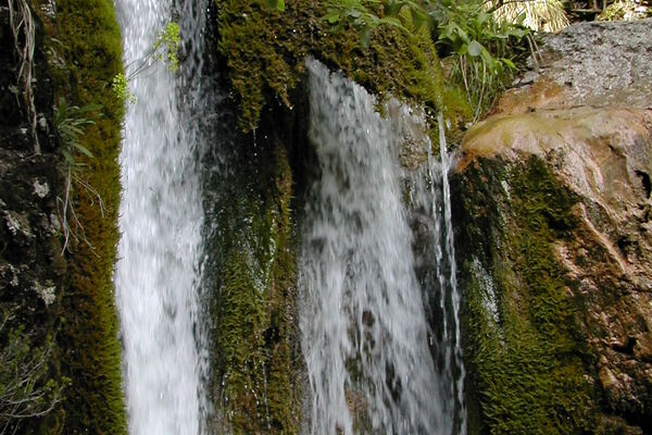
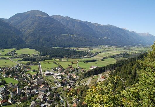
Insider tip
A lot of view
Other tours in the regions