

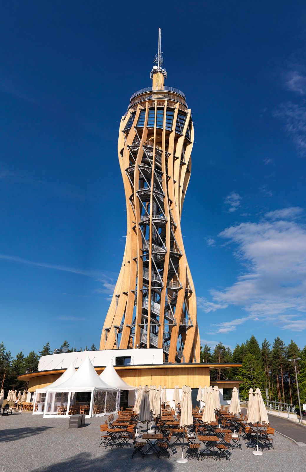
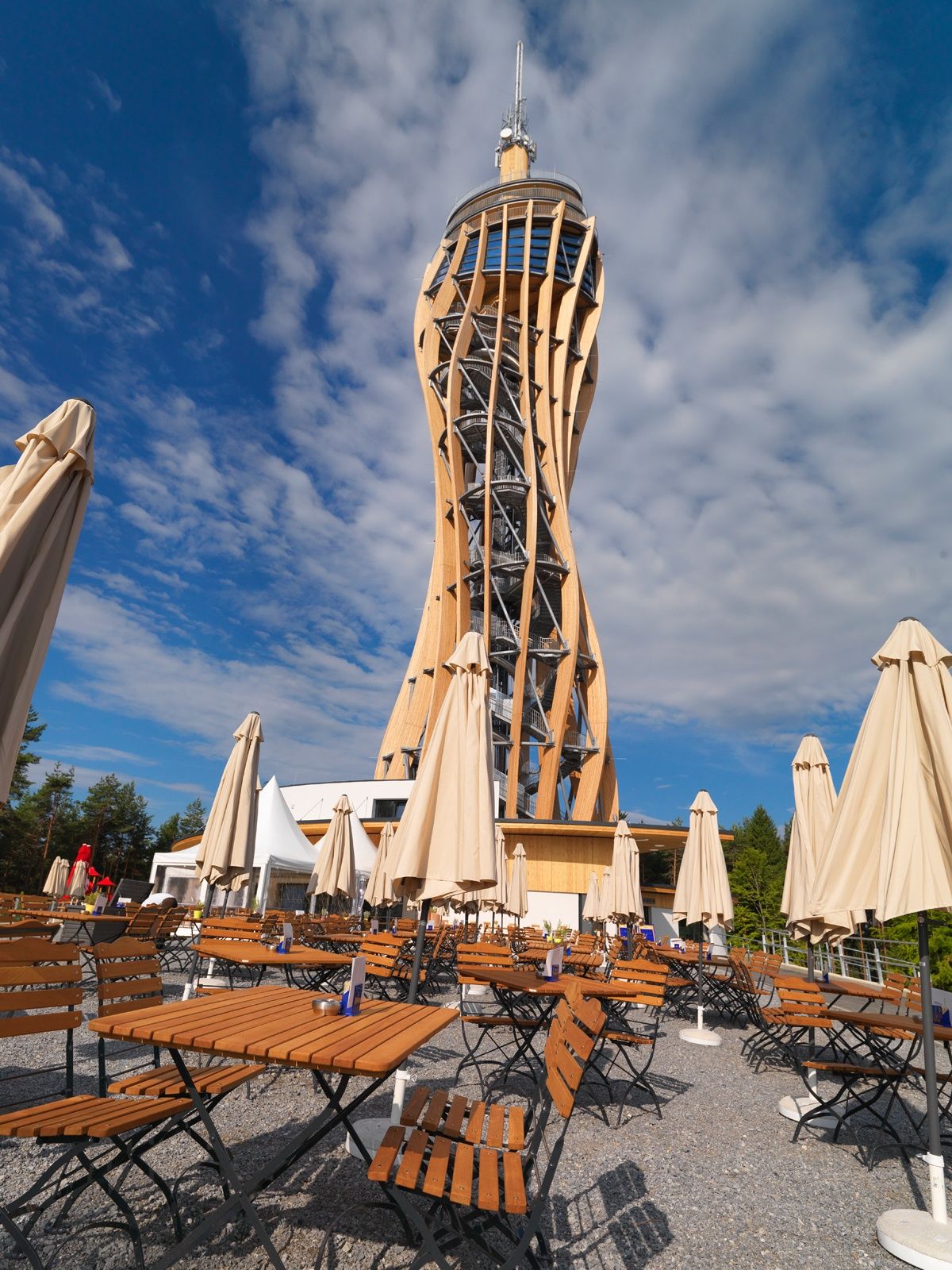
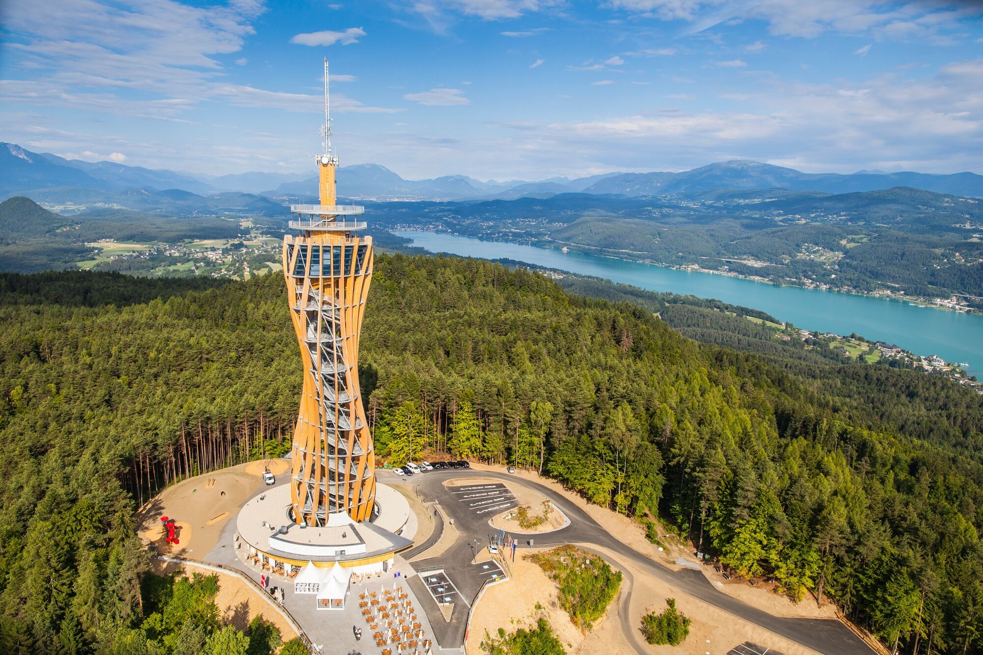
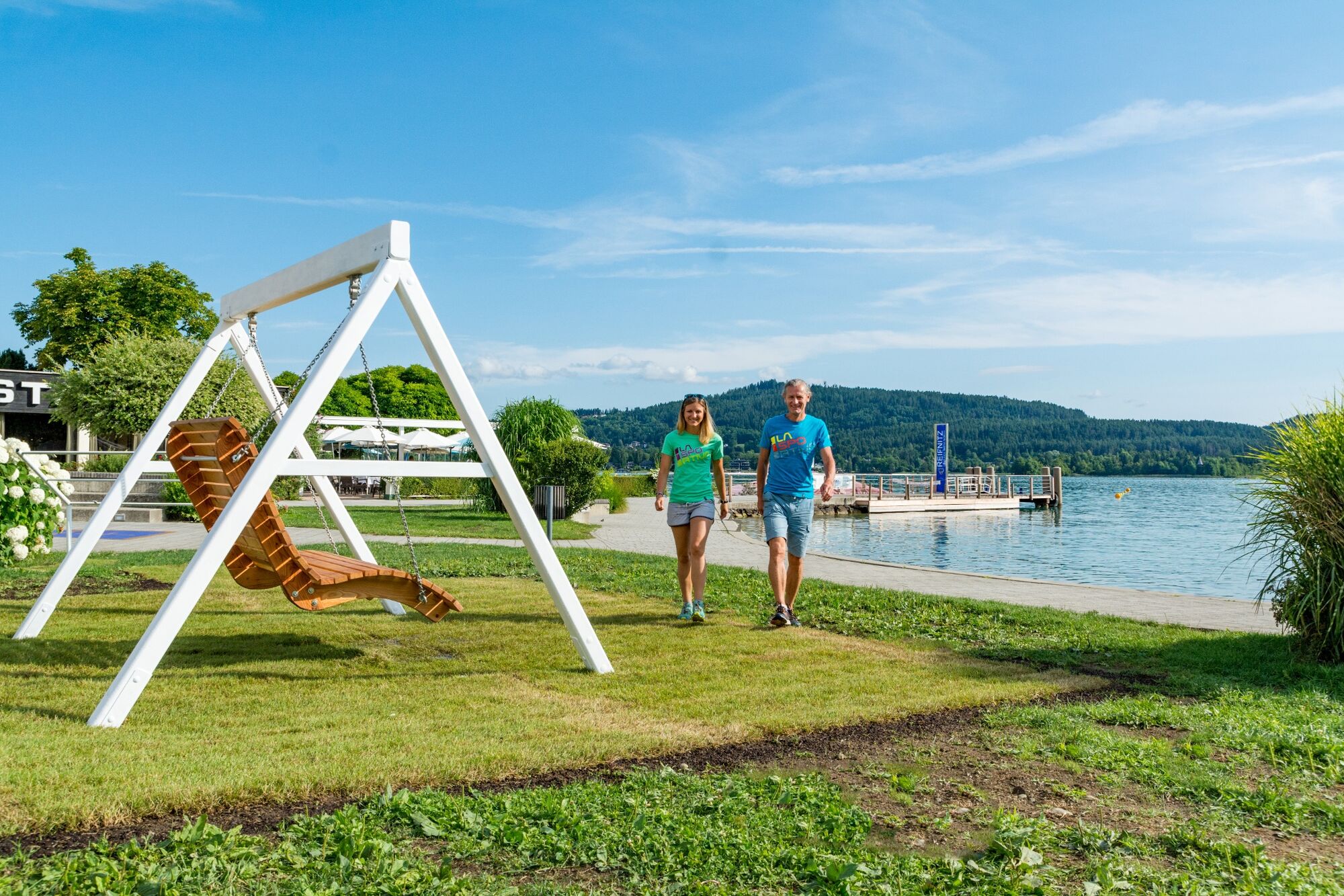
© Region Wörthersee-Rosental Tourismus GmbH - Andreas Irnstorfer


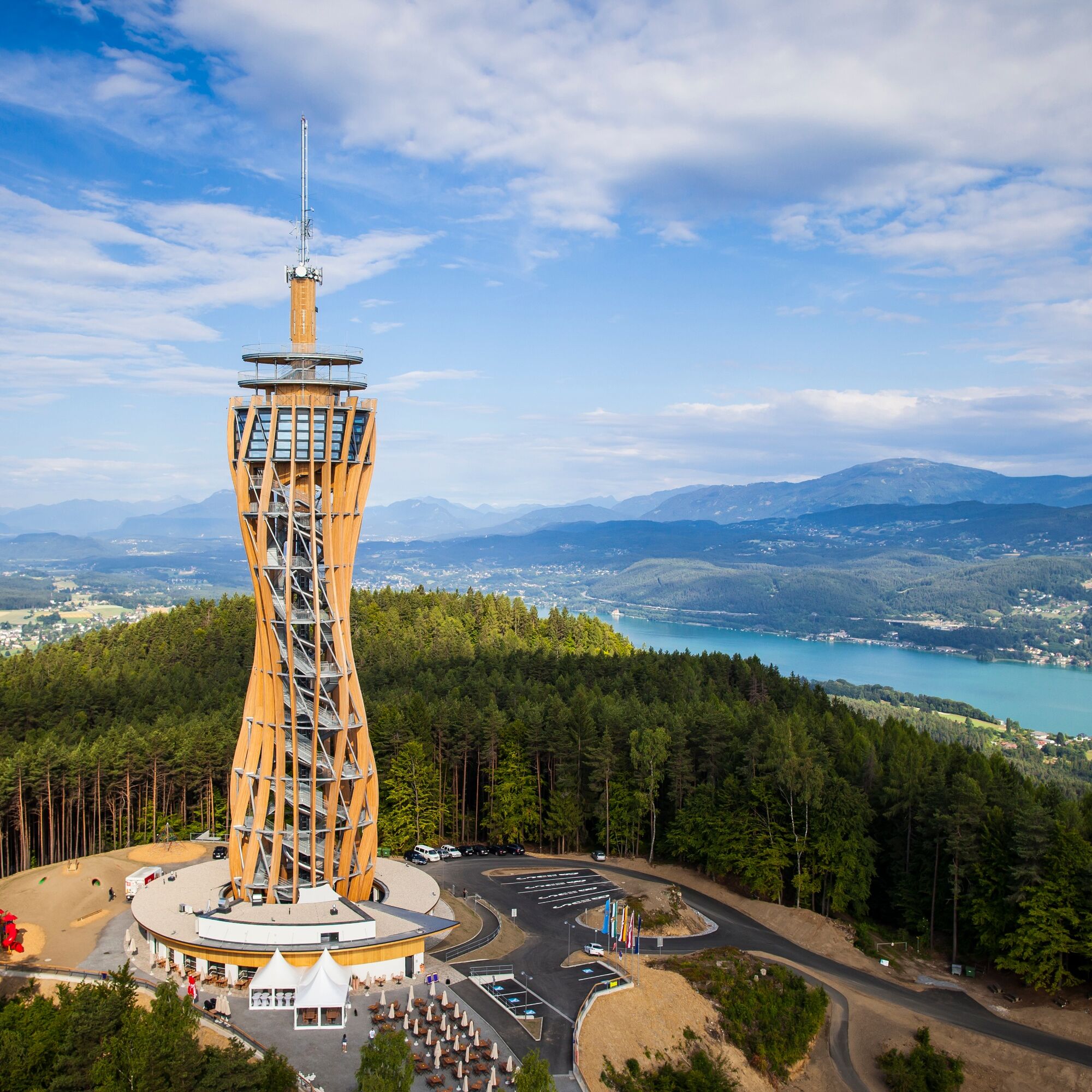
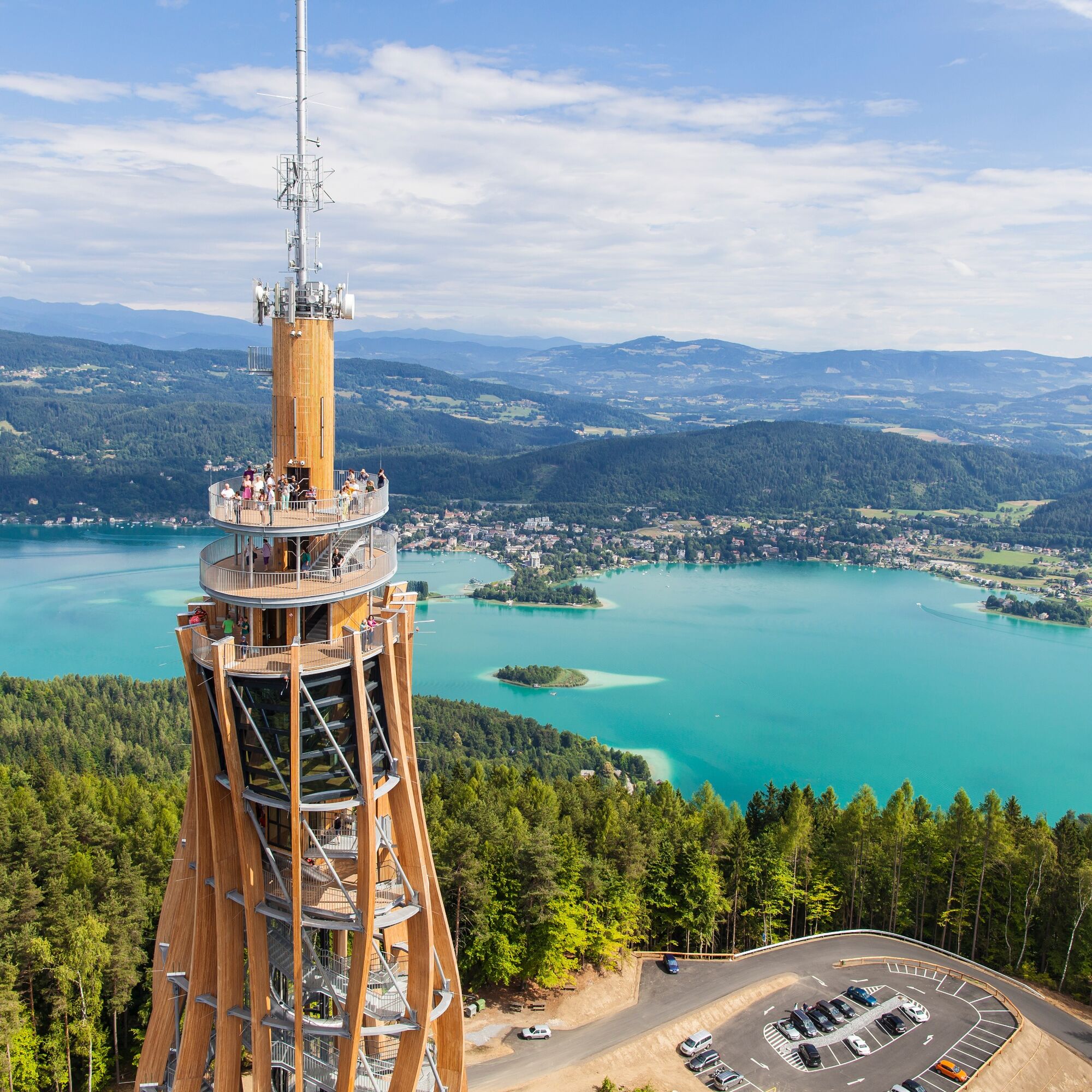
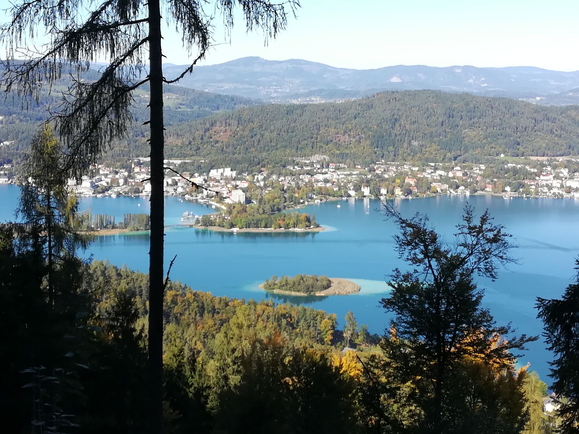
© Monika Gschwandner-Elkins - Monika Gschwandner


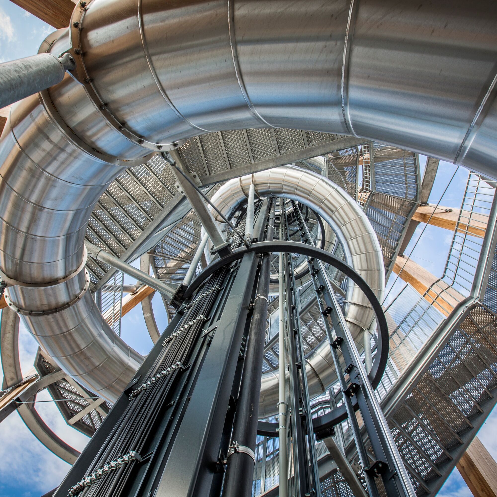
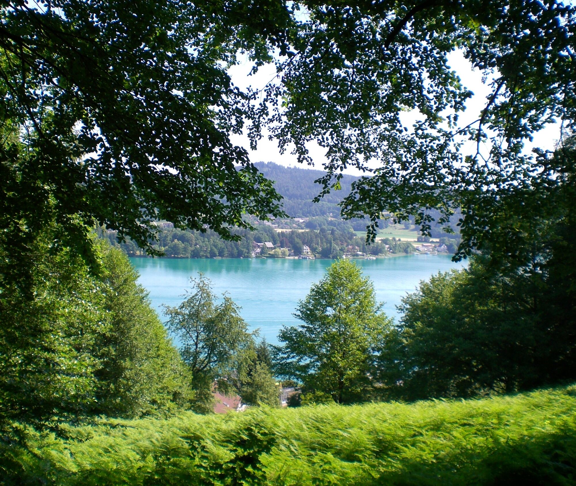
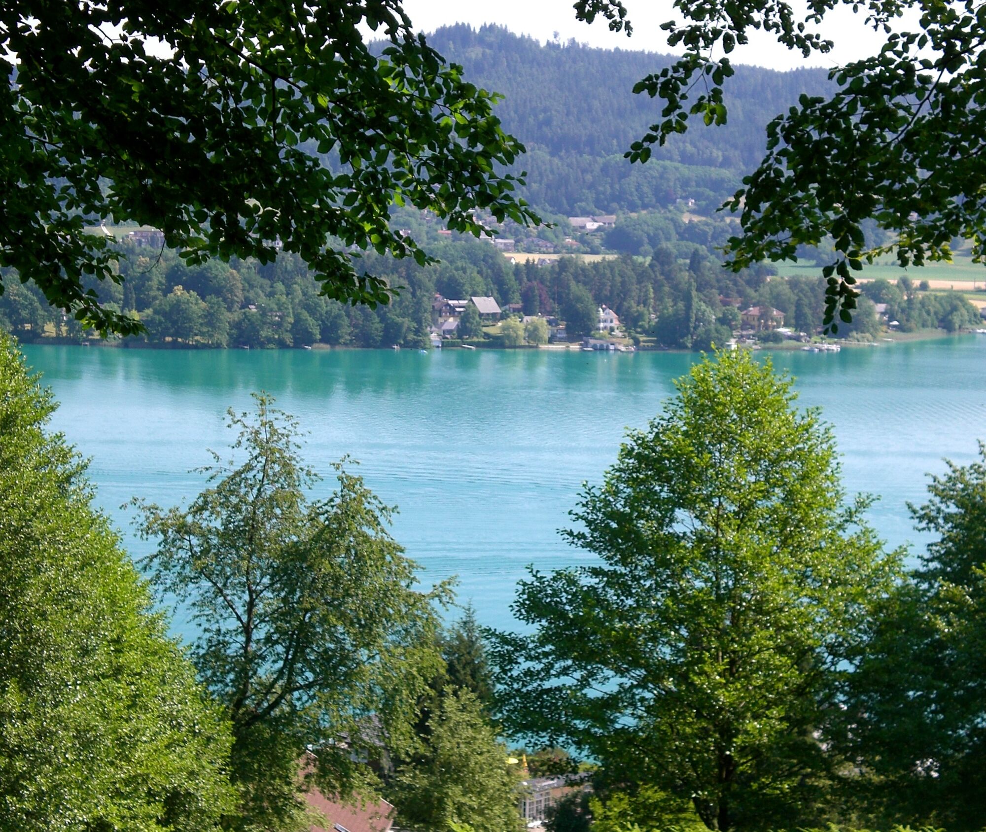
© Monika Gschwandner-Elkins - Monika Gschwandner


- Brief description
-
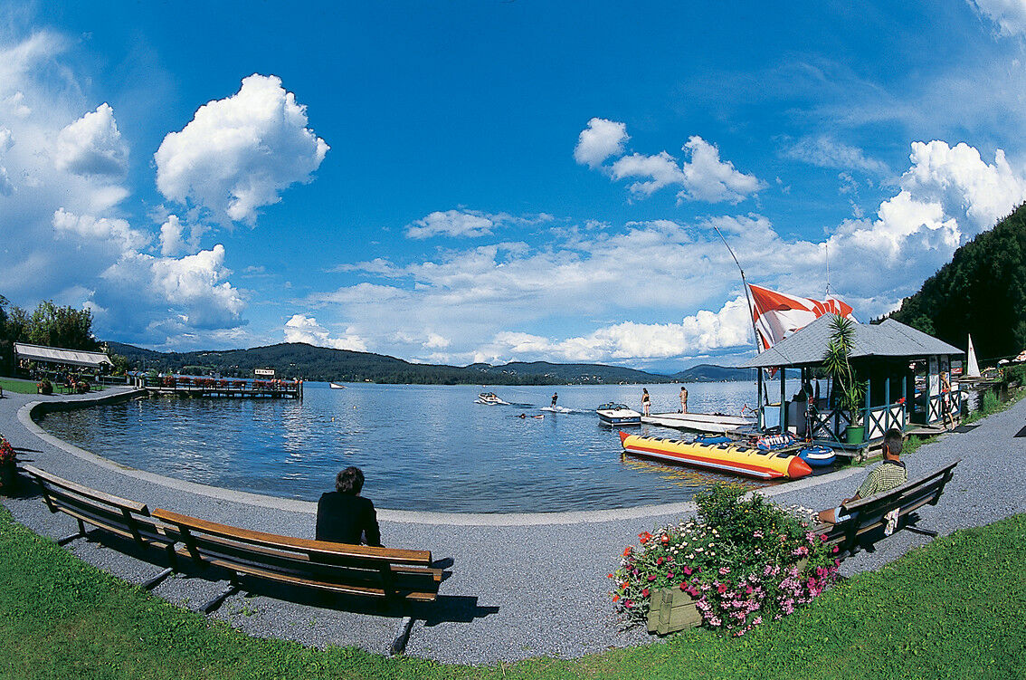
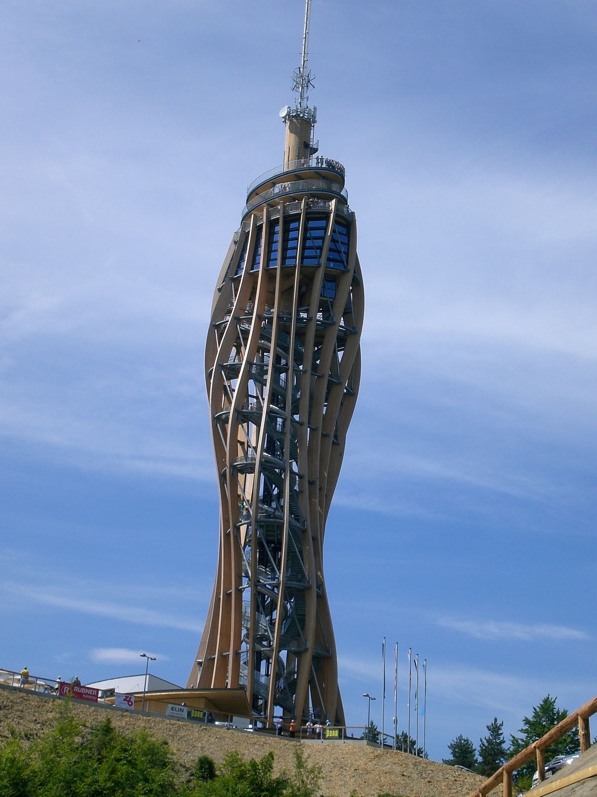
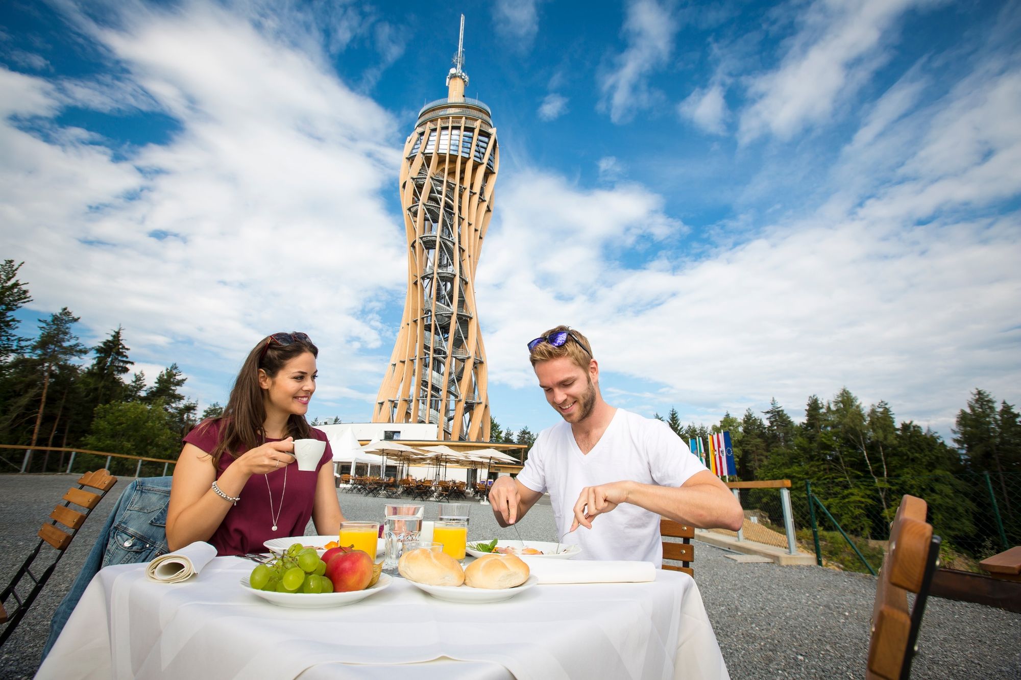
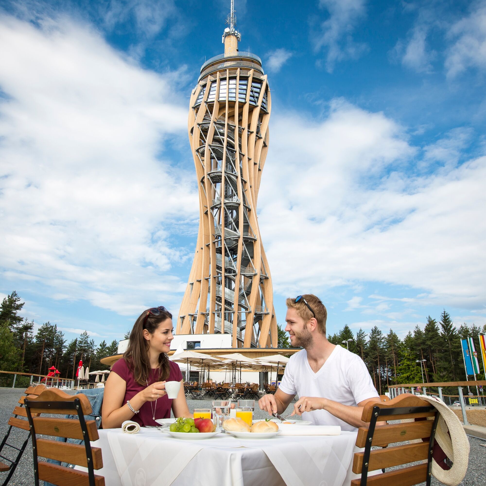
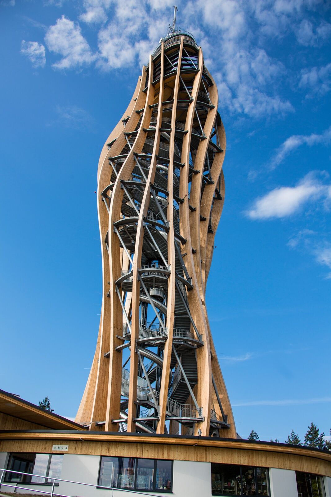
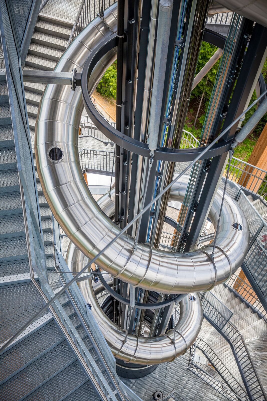
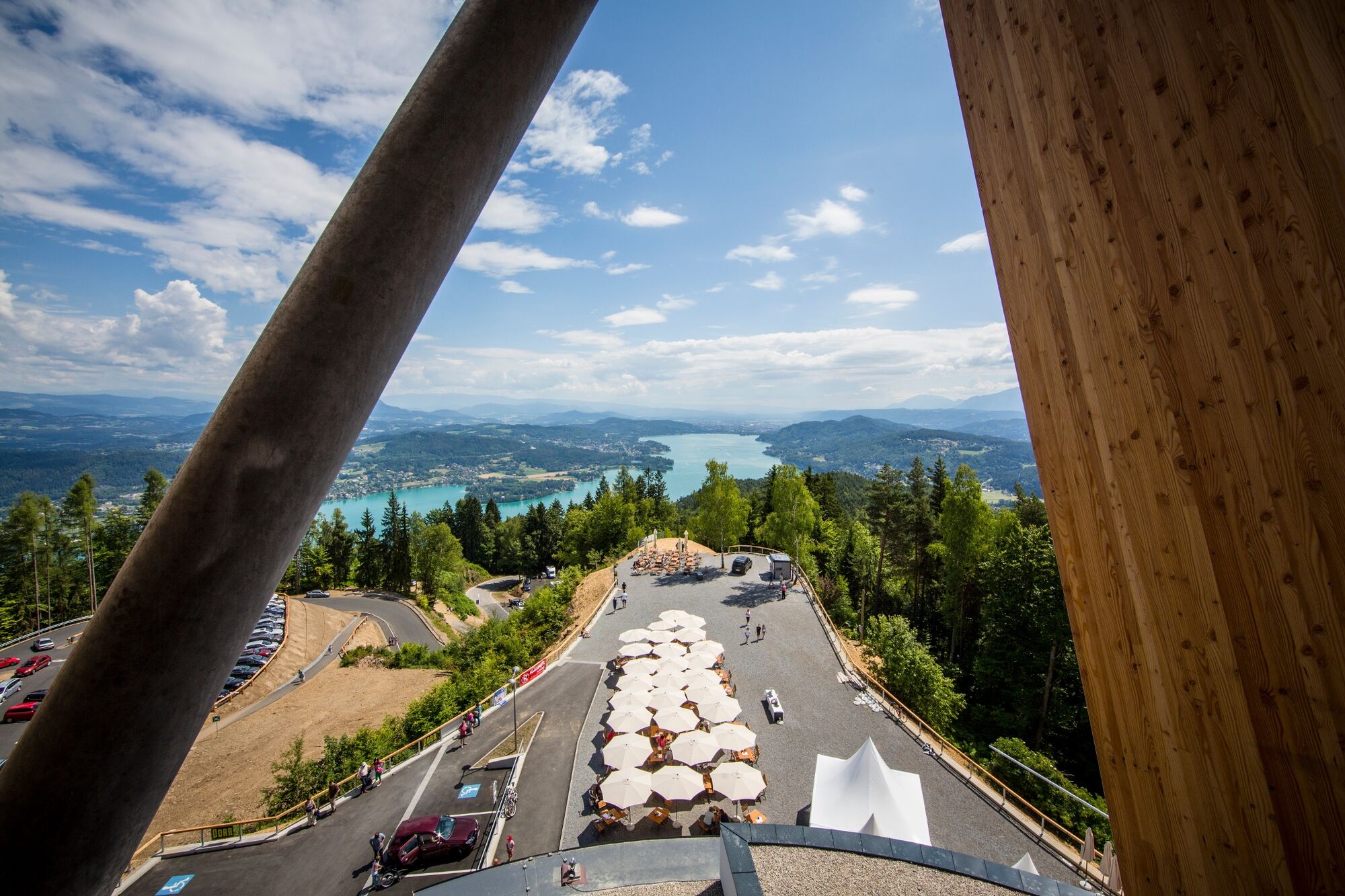
Wanderung zu einem der schönsten Aussichtspunkte Kärntens
- Difficulty
-
medium
- Rating
-
- Route
-
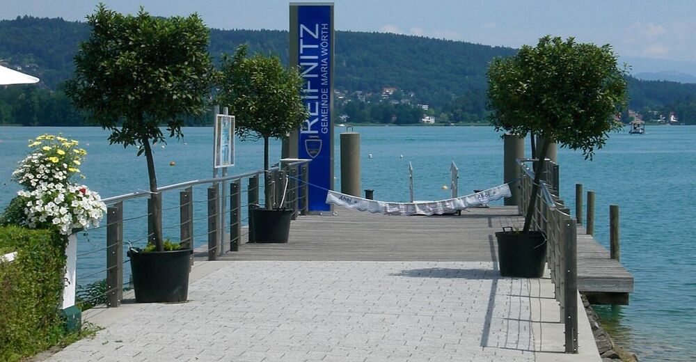
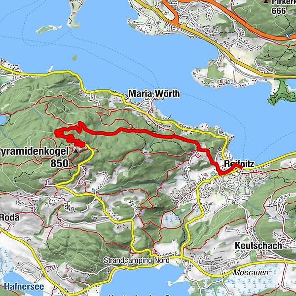
Reifnitz0.0 kmSankt Anna1.1 kmPyramidenkogel (850 m)5.4 kmSankt Anna9.6 kmReifnitz10.8 km
- Best season
-
JanFebMarAprMayJunJulAugSepOctNovDec
- Highest point
- 830 m
- Endpoint
-
Schiffsanlegestelle Reifnitz
- Height profile
-


- Author
-
The tour Pyramidenkogelweg Reifnitz is used by outdooractive.com provided.
GPS Downloads


General info
Refreshment stop
A lot of view
Other tours in the regions
-
Wörthersee - Rosental
1956
-
Feldkirchen und Umgebung
939
-
Maria Wörth
328


