Winter
Summer
Weather
Webcams
Accommodations
Tours
Search history
Search suggestions
No results found
Search
Tours
Home
Summer Österreich
Carinthia
Tours
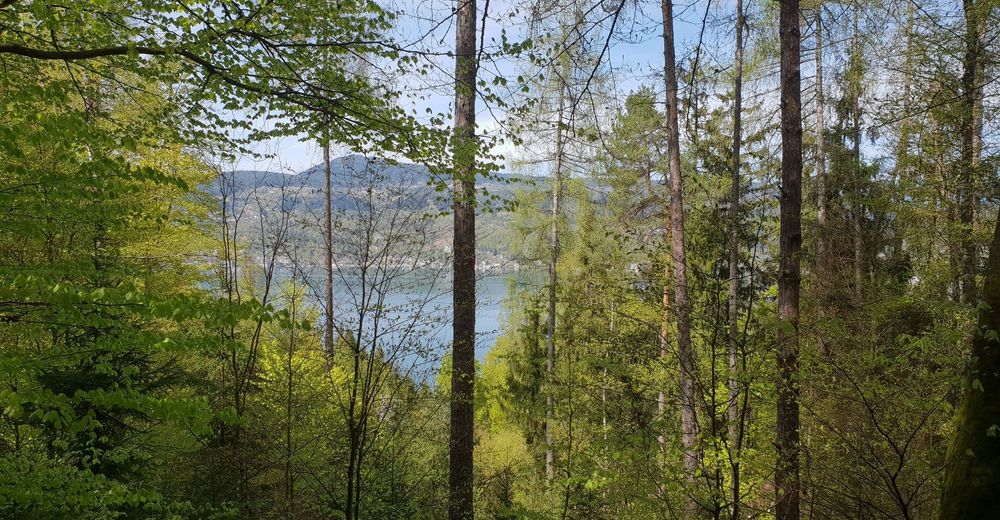
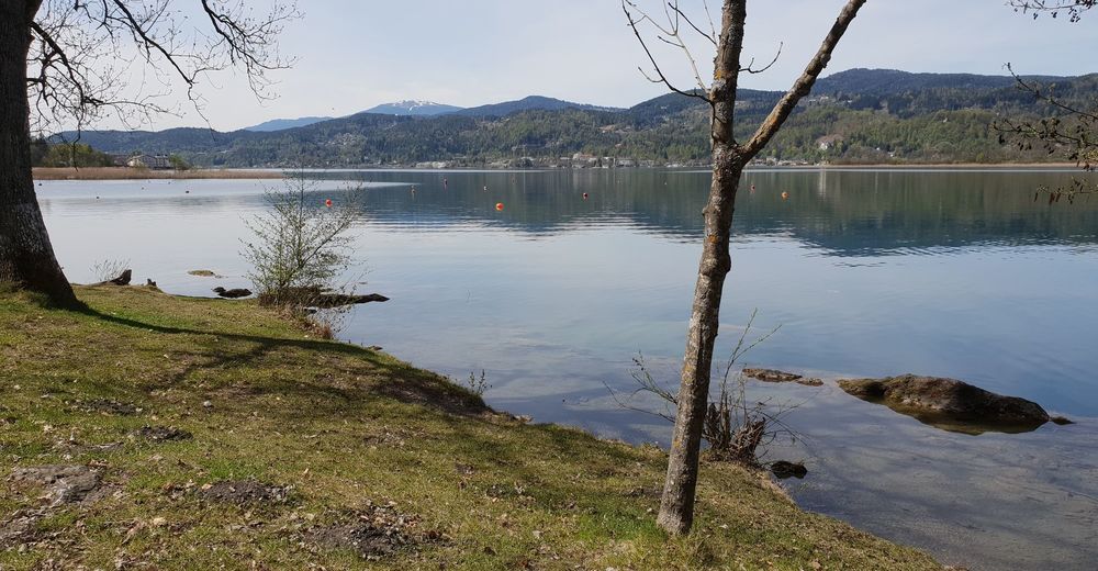
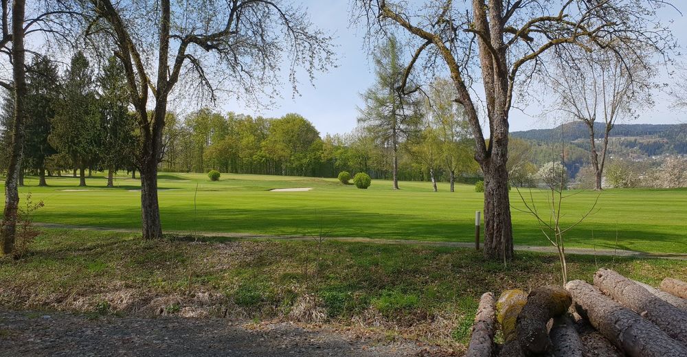
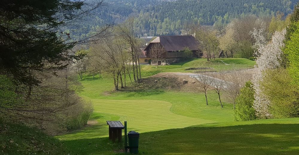
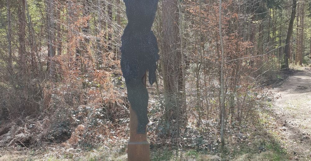
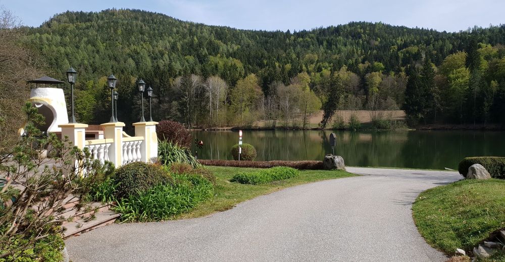
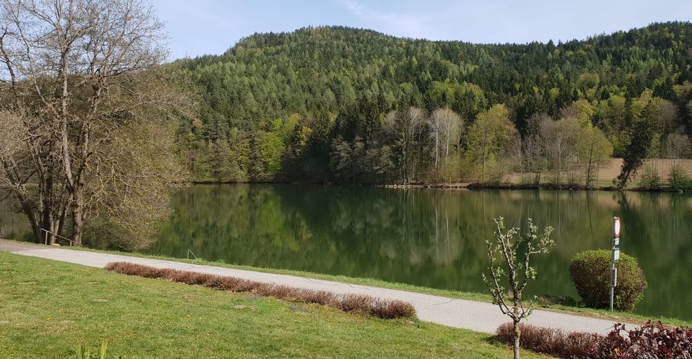
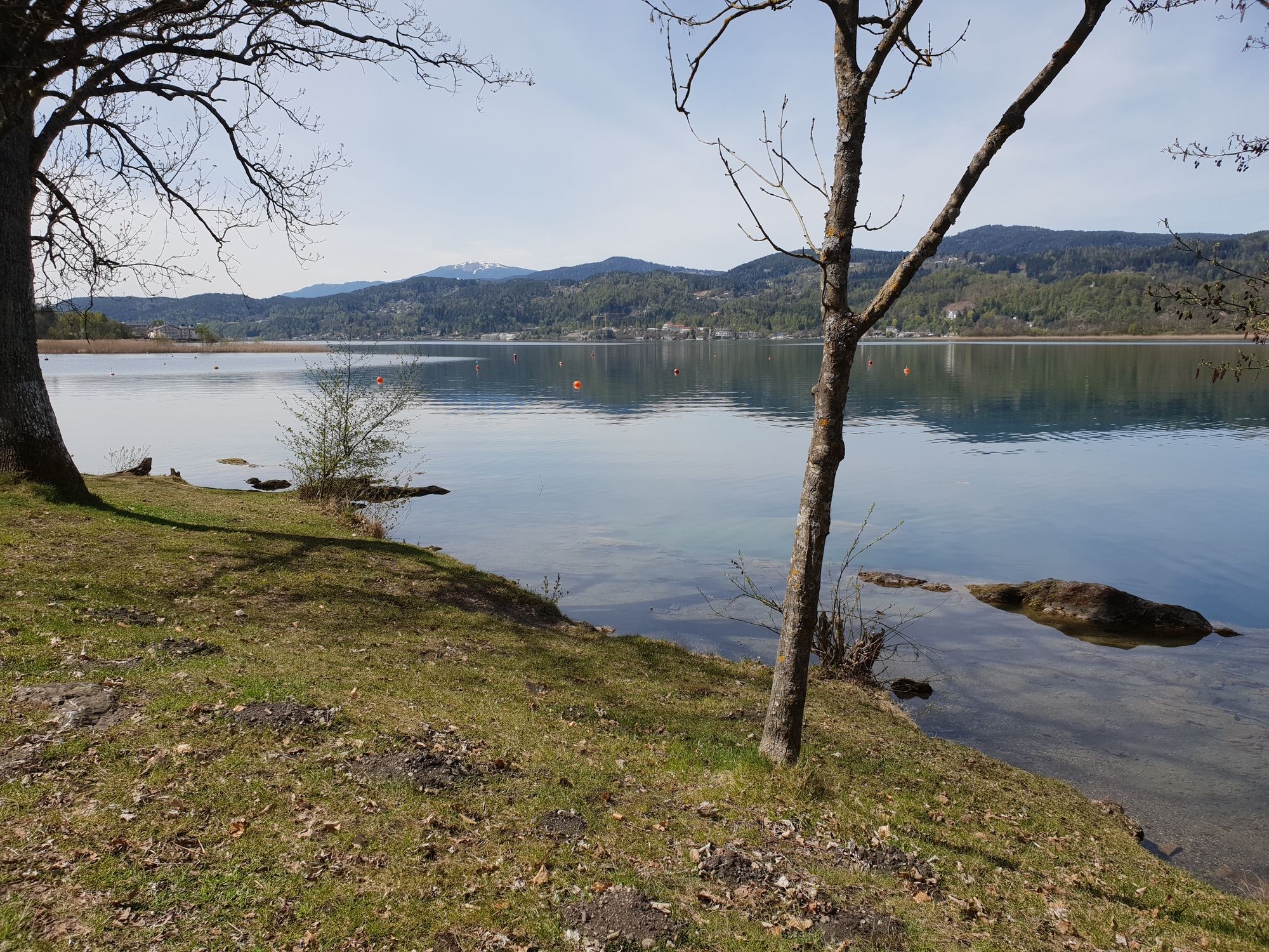
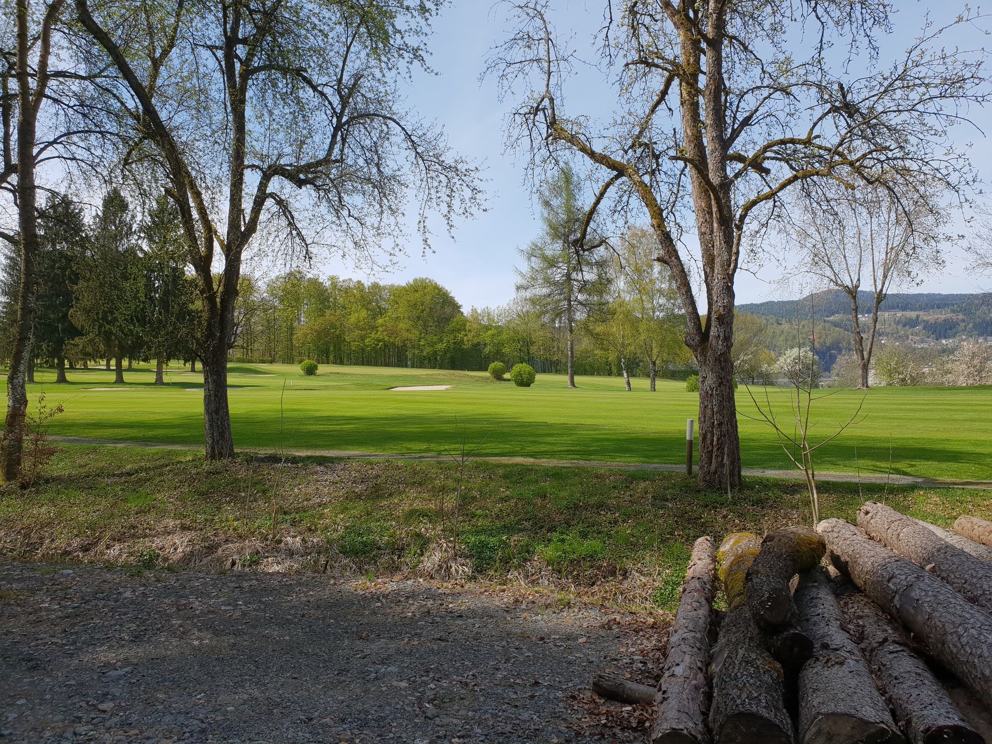
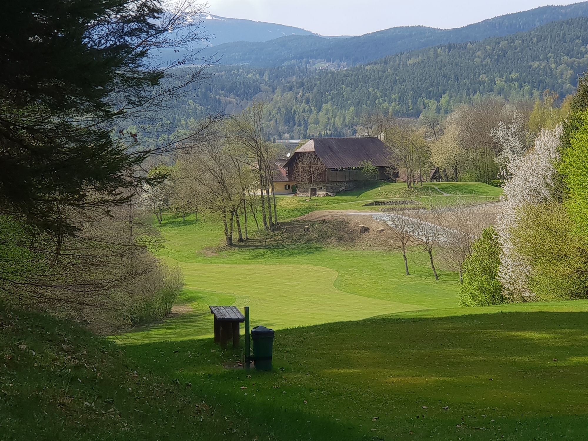
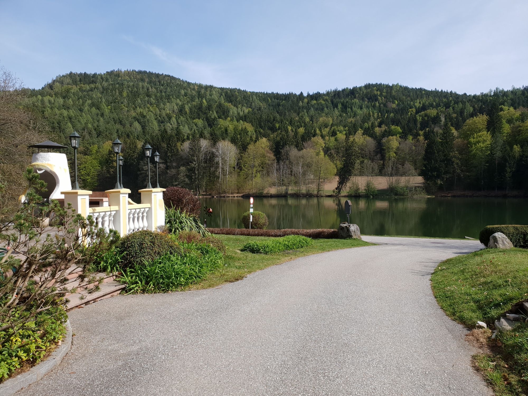
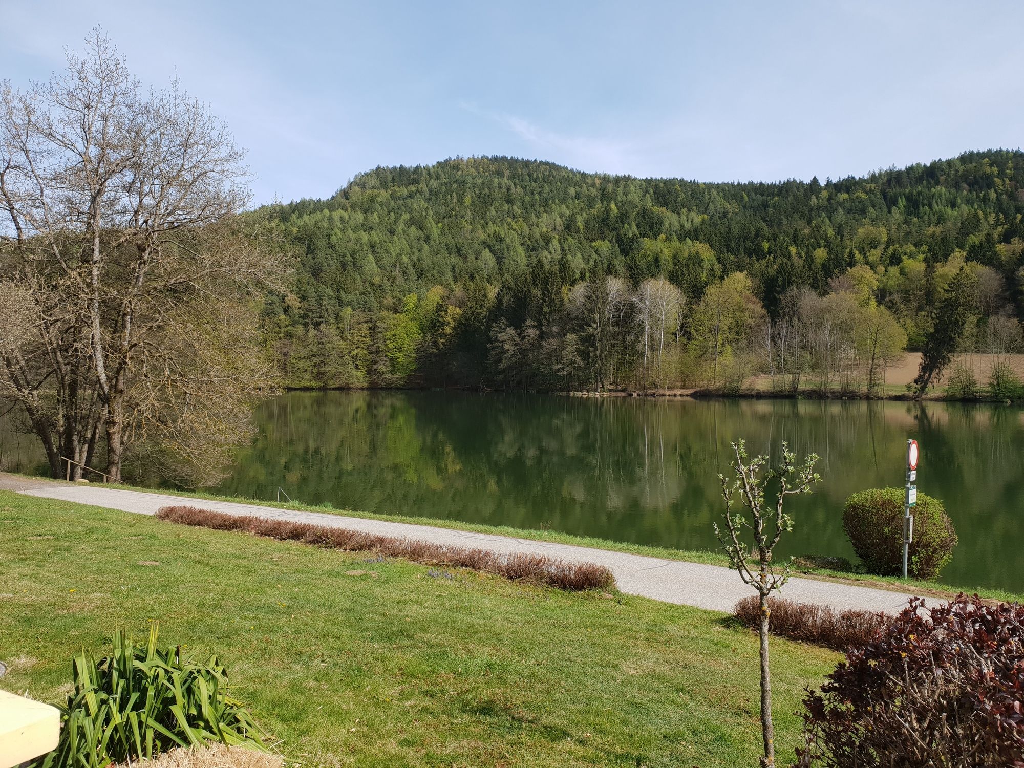
Trattnigteich - Wörthersee - Golfplatz Dellach
Regions
Weather
Webcams
Tours
Highlights
Bathing lakes
Accommodations
Offers
Sports provider
Events
Ski resorts
Cross-country skiing
Snow parks
Trattnigteich - Wörthersee - Golfplatz Dellach
Hiking
Bookmark
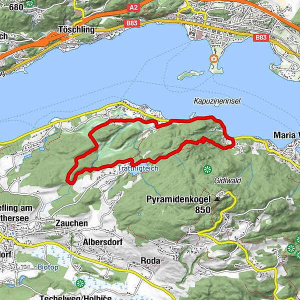
Map
show
hide
Print
Tour data
7.77
km
441 - 600
m
Distance
155
hm
168
hm
Ascent
01:43
h
Duration
G & M
created am 17.04.2020
2,024
Views
Rating
Technique
Fitness
Landscape
Experience
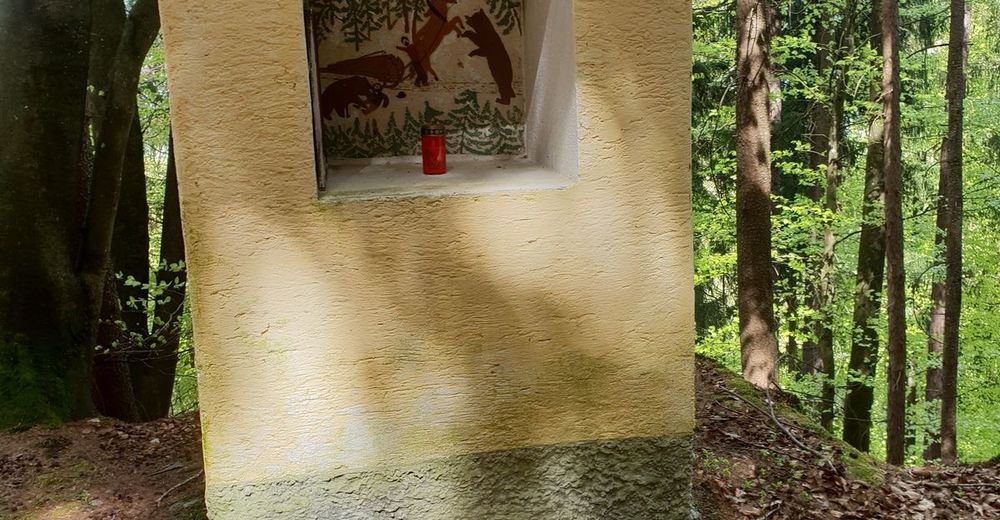
Route
Unterdellach
hamlet
4.2 km
Highest point
600 m
2,3
Write a review
Overall rating
5
0
%
4
33
%
3
0
%
2
33
%
1
33
%
Reviews
2,3
(3)
0 Comments
Write a review
Error
An error has occurred. Please try again.
Thank you for your review
Rating has been deleted
Report tour
GPS Downloads
GPX
GPS Exchange Format (XML)
KML
Google Earth, Google Maps
QR Download Codes for Mobile Phones
Trattnigteich - Wörthersee - Golfplatz Dellach
QR Codes - tour download for cell phones
GPX
KML
Other tours in the regions
Wörthersee - Rosental
1956
Feldkirchen und Umgebung
939
Pörtschach am Wörthersee
341
Popular tours in the area
Auf`s Ferlacher Horn von Zell-Winkel über den Franzbauer
medium
Hiking
8.78
km |
892
hm |
04:30
h
Slow Trail Bleistätter Moor
easy
Hiking
7.04
km |
6
hm |
02:00
h
Kosiak
medium
Hiking
9.58
km |
836
hm |
04:30
h
Bielschitza - Karawanken
Hiking
1.2
km |
243
hm |
04:00
h
No entries found.
The search is currently not available.
Please refine your search.
Local search results
(<= 25km)
More results
(> 25km)
%count% Search results
%name%
%type%
%elevation%
%population%
%lpButton%