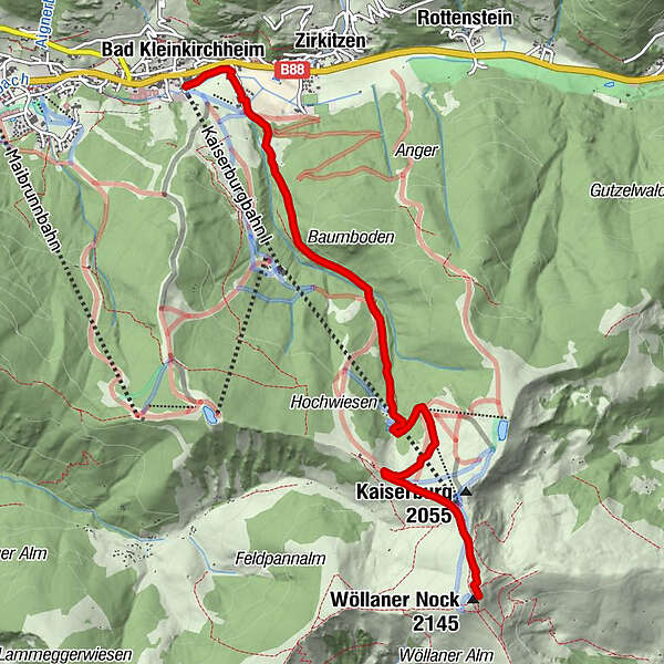
Tour data
6.54km
1,062
- 2,121m
1,082hm
1,082hm
04:30h
- Brief description
-
Bad Kleinkirchheim- Kaiserburg- Wöllannern Nock
- Difficulty
-
medium
- Rating
-
- Starting point
-
Badkleinkirchheim
- Route
-
Bad Kleinkirchheim0.0 kmHirschsprunglift Talstation4.3 kmWöllaner Nock (2,145 m)6.5 km
- Best season
-
JanFebMarAprMayJunJulAugSepOctNovDec
- Highest point
- Wöllaner Nock (2,121 m)
- Endpoint
-
Wöllanner Nock
- Rest/Retreat
-
Kaiserburg Restaurant
GPS Downloads


Trail conditions
Asphalt
(500m)
Gravel
(2km)
Meadow
(700m)
Forest
(3km)
Rock
Exposed
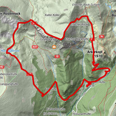
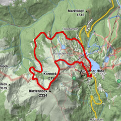
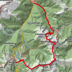
Other tours in the regions