


- Brief description
-
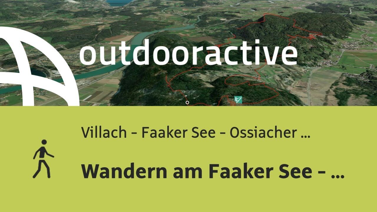
A medium to difficult hiking tour near Lake Faaker See.
- Difficulty
-
medium
- Rating
-
- Starting point
-
Possible starting points: Egg on Lake Faak, Oberferlach or Ledenitzen
- Route
-
Wauberg (689 m)0.5 kmPetelin (802 m)5.4 kmLedenitzen7.1 kmBleiberg (772 m)8.6 kmOberferlach9.2 kmPetschnitzen10.1 kmTabor (724 m)11.9 km
- Best season
-
JanFebMarAprMayJunJulAugSepOctNovDec
- Description
-
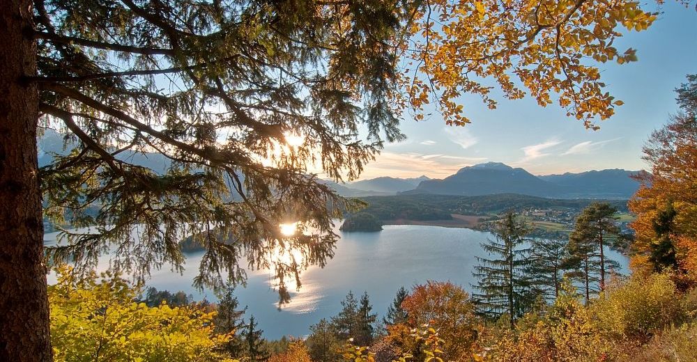
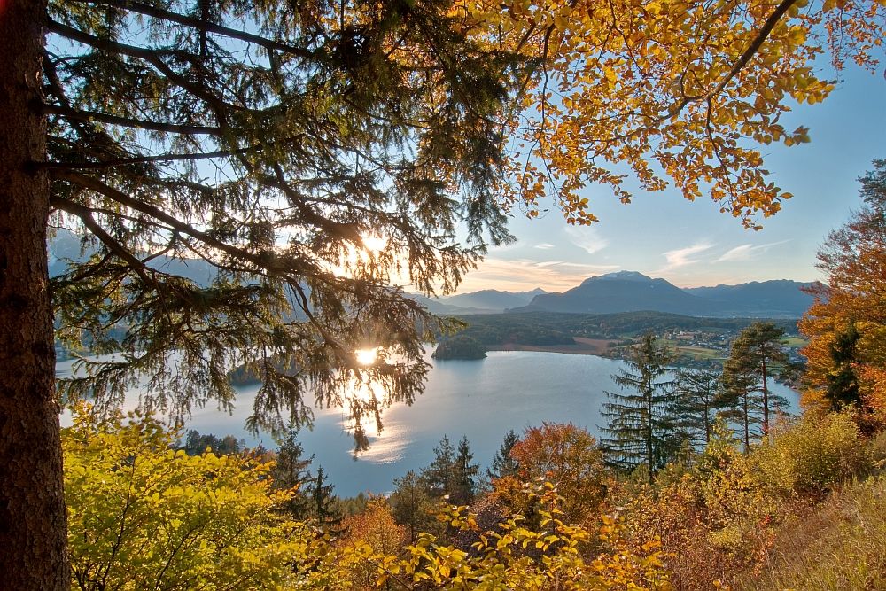
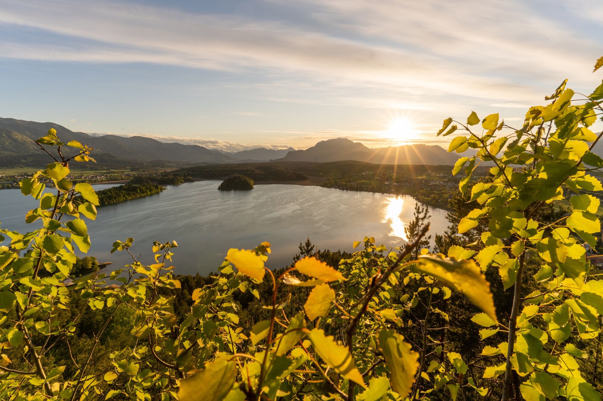
Mysterious mountains, sacred power spots, legendary woods and four stunning views on the summits of Bleiberg, Petelin, Wauberg and Tabor. The adventure starts right on the Lake Faaker See. You will immediately be charmed by the lovely landscape with its myths and legends- the forest mostly overgrown, ravaged by erosion, shrouded in mystery, and almost forgotten. Stories have been told about caves that are now inaccessible, their corridors collapsed long ago.
- Directions
-
Starting from the parking lot in Neuegg at Lake Faaker See (opposite the camping Arneitz), it is just a few minutes to the start of the "Tabor Rundweg" at Taborstraße (N 46.577718 / E 13.940486), which can be used as a lovely shaded climb to the "4 Summit View Tour" (http://alpregio.outdooractive.com/ar-villach/de/alpregio.jsp#i=10289540&tab=TourTab).
Follow the “Tabor Rundweg” about 20 minutes to direction Egg (not included in the indicated walking time!) and you will reach the Taborweg at the last houses on the way. Here, look for signs marking the "4 Gipfel Aussichtstour" which leads clockwise following constantly red-white-red markings, across the summits of Wauberg, Petelin, Bleiberg and Tabor.
The first summit is reached quickly after the playground and the junction at the Tabor. The Wauberg (689 metres - N 46.5865069 / E 13.9471167) is a conical mountain, which falls steeply in all directions.
On the small area at the summit, both prehistoric as well as Roman and medieval artefacts have been found. The assumptions of historians range from a pre-Roman sanctuary, a post-Roman system to a Lombard castle or an early medieval fortress.
From Wauberg it goes through the the same way back to the junction and then gently descend towards East. Shortly before Petschnitzen, turn left towards St. Martin. A romantic gorge takes us past the foothill of Rudnik (717metres - Rudnik = Slovenian for mine). The walls of the foothill are riddled with tunnels, which are unfortunately no longer accessible by foot.
Then we reach the idyllic wetlands at St. Martin and the former miner's house at scout camp Techuana (a short walk off the beaten track).
North of the scout camp, the trail at the edge of the wetlands leads to St. Martiner Straße and the next peak can already be seen. The Petelin is the highest peak of the four summits and will be challenging because of its steep ascent.
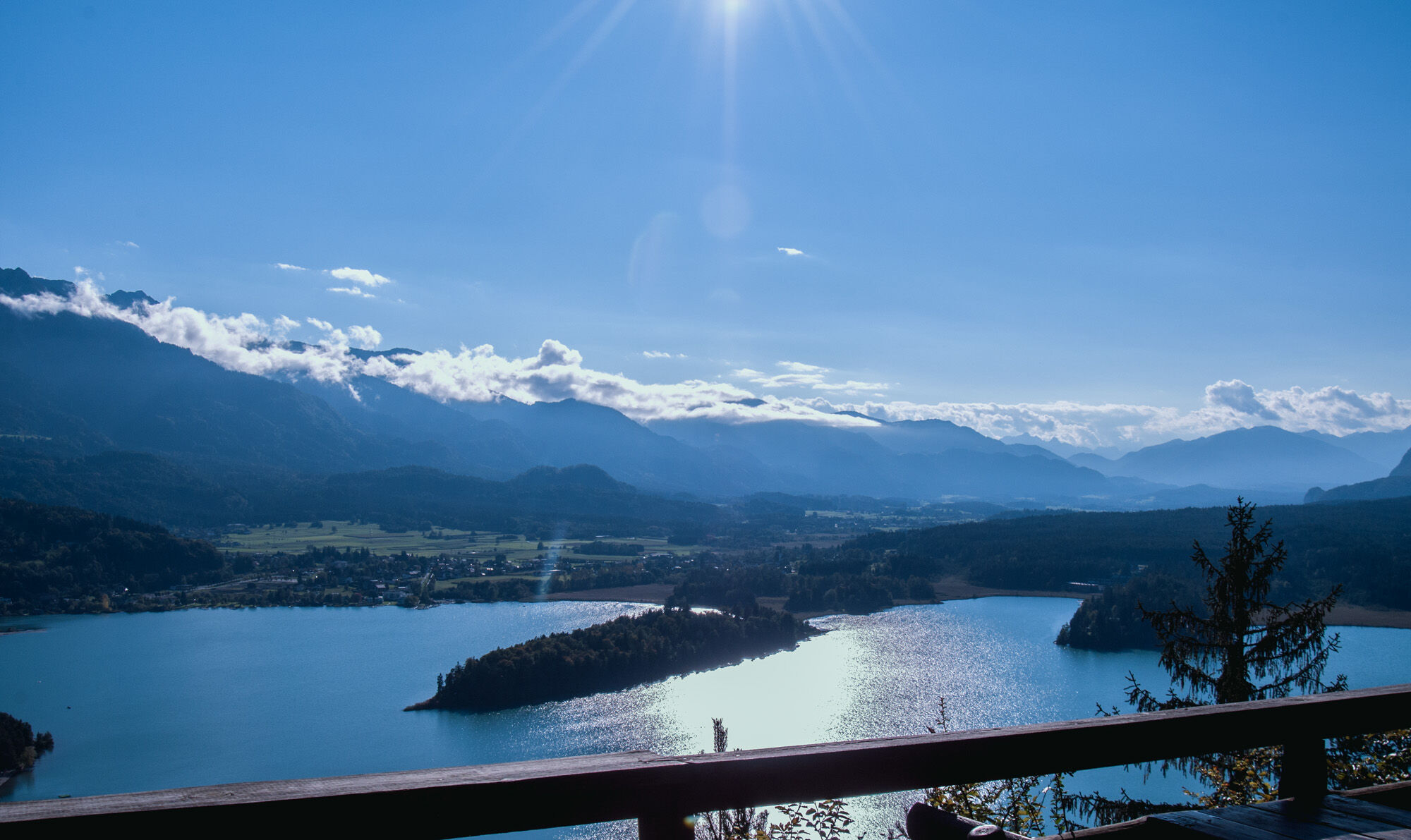
At the St. Martiner Straße, turn left and follow the road up to the first two houses (NOTE: Gasthaus Jägerwirt offeres excellent chicken - N 46.5808032 / E 13.9837611). Here, turn right back to the dirt road, which leads slightly uphill to the a well and a former geological trail. The red-white-red signs (NOTE: The yellow-green signs belong to a pilgrim tour which starts at Rosegg! The directions are identical until Petelin.) lead to a forest road, where you need to keep left for a few meters and turn right at the sign to a pleasant forest path. Then the second forest road is reached. Cross it and follow the steep path full of roots(NOTE: be careful when wet!) which leads to the edge of the Petelin. Parallel to this edge, we reach a steep climb to the top of Petelin (802 metres - N 46.573952 / E 13.9844799). It rewards us with a magnificent view of Lake Wörthersee, the river Drau and the St. Martiner Moor.
The descent is leading across idyllic forest paths to a forest road, then turn right and along the Schotterstraße to the junction Humkirche. Here DO NOT turn left, but follow the the gravel road to the Drainbergsattel on St. Martiner Landesstraße above Ledenitzen (Forellenhof).
On St. Martiner Straße turn right, follow the paved road and turn left into Römerweg, which continues into the Waldweg after about 100 metres. Keep following the signs to arrive at the third summit called Bleiberg (770 m - N 46.5749034 / E 13.9631617).
After a rewarding break, the cozy descent to Petschnitzen starts. The way is clearly marked and after several forest road crossings you will rach the meadows before Petschnitzen with a distinctive road shrine. Within walking distance there is the T-junction at the Taborhof in the middle of Petschnitzen.
At the Taborhof shortly follow the Taborstraße to the right and immediately turn left into the forest. It is not the most direct way, but surely the most attractive to the last summit. The Tabor (725 m - N 46.5818724 / E 13.9393544) is a table moutain with fragile rock walls of conglomerate. A magnificent viewpoint and for sure a worthy conclusion of the tour (Note: ask for a “Schwarzbeeromlette” at the Taborhütte – simply delicious!)
The descent to the starting point walk on the Taborstraße and just after the second turn from the Taborhütte turn left and follow the already known path to the playground and to Egg at Lake Faaker See.
Alternatively, you can descend via the known ascent and take a shortcut right back to Petschnitzen and the Taborhof. Then hike back on the paved Taborstraße to Neuegg at Lake Faaker See.
- Highest point
- 792 m
- Endpoint
-
Egg am Faaker See
- Height profile
-

- Equipment
-
Sturdy shoes with treaded soles, a backpack with supplies for the whole day, rain protection, maps, binoculars, drinks, snacks are recommended!
- Safety instructions
-
It is recommended to do this tour clockwise, as we described it, In wet weather, be very careful as the leaves and roots can become VERY slippery! The tour is classified as "intermediate" due to the steep passages on the Petelin and the length of the hiking tour (not suitable for children under 12 years old).
- Tips
-
There is a wonderful treetop ropes course on the Tabor: www.hochhinauf.at
Gasthaus Jägerwirt is a small countryside restaurant (St. Martiner Str. 22, 9232 St. Martin (Tel.: 04274 / 50174), offering delicious chicken.
- Additional information
- Directions
-
Lake Faak is best reached by taking the A2 highway- exit "Villach-Faaker See."
- Public transportation
- Parking
-
Egg on Lake Faak- a parking lot is located next to the Billa grocery store. Also available in Oberferlach and Ledenitzen


- Author
-
The tour 4 Peaks Panoramic Tour is used by outdooractive.com provided.